Mynydd y Castell Camp
Heritage Site in Glamorgan
Wales
Mynydd y Castell Camp
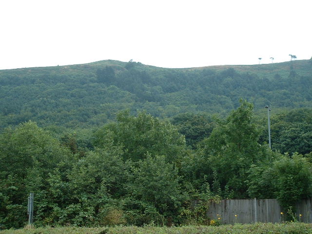
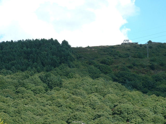
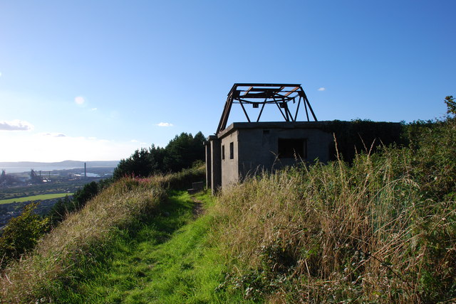
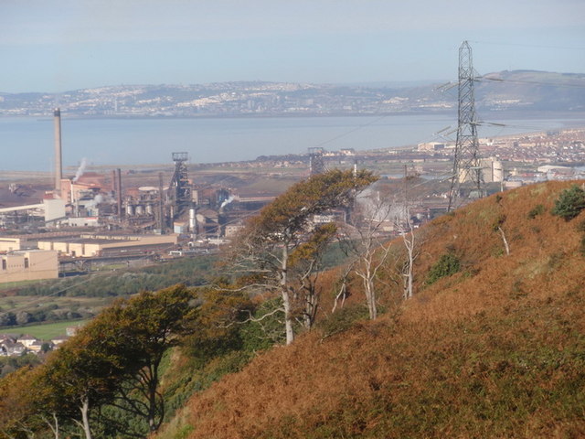
Mynydd y Castell Camp is a heritage site located in Glamorgan, Wales. It is an ancient hillfort situated on the top of a hill, overlooking the surrounding landscape. The site holds significant historical and archaeological importance, offering a glimpse into the lives of the people who inhabited the area during the Iron Age.
The hillfort occupies an area of approximately 2.5 hectares and is enclosed by a series of earthworks and ditches. These defensive features suggest that the site was used as a fortified settlement, providing protection to its inhabitants. The remains of a rampart can still be seen, showcasing the impressive engineering skills of the people who constructed it.
Excavations at Mynydd y Castell Camp have uncovered a variety of artifacts, including pottery, metalwork, and jewelry. These findings indicate that the site was occupied from around 600 BC to the Roman period. The hillfort's strategic location would have allowed its inhabitants to control and monitor the surrounding landscape, making it an essential hub for trade and communication.
Today, Mynydd y Castell Camp is a popular destination for history enthusiasts, archaeologists, and hikers. Visitors can explore the site and enjoy the breathtaking views from the hilltop. Interpretive panels provide information about the site's history and its significance. The heritage site offers an opportunity to step back in time and imagine the daily lives of the Iron Age community that once thrived on this hillfort.
If you have any feedback on the listing, please let us know in the comments section below.
Mynydd y Castell Camp Images
Images are sourced within 2km of 51.5656/-3.724 or Grid Reference SS8086. Thanks to Geograph Open Source API. All images are credited.
Mynydd y Castell Camp is located at Grid Ref: SS8086 (Lat: 51.5656, Lng: -3.724)
Unitary Authority: Neath Port Talbot
Police Authority: South Wales
What 3 Words
///contained.twists.regulator. Near Taibach, Neath Port Talbot
Nearby Locations
Related Wikis

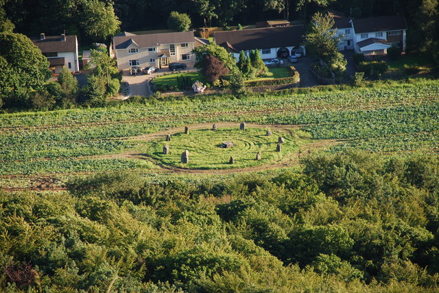
Margam Country Park
Margam Country Park is a country park estate in Wales, of around 850 acres (3.4 km²). It is situated in Margam, about 2 miles (3 km) from Port Talbot in...

Margam Castle
Margam Castle, Margam, Port Talbot, Wales, is a late Georgian country house built for Christopher Rice Mansel Talbot. Designed by Thomas Hopper, the castle...
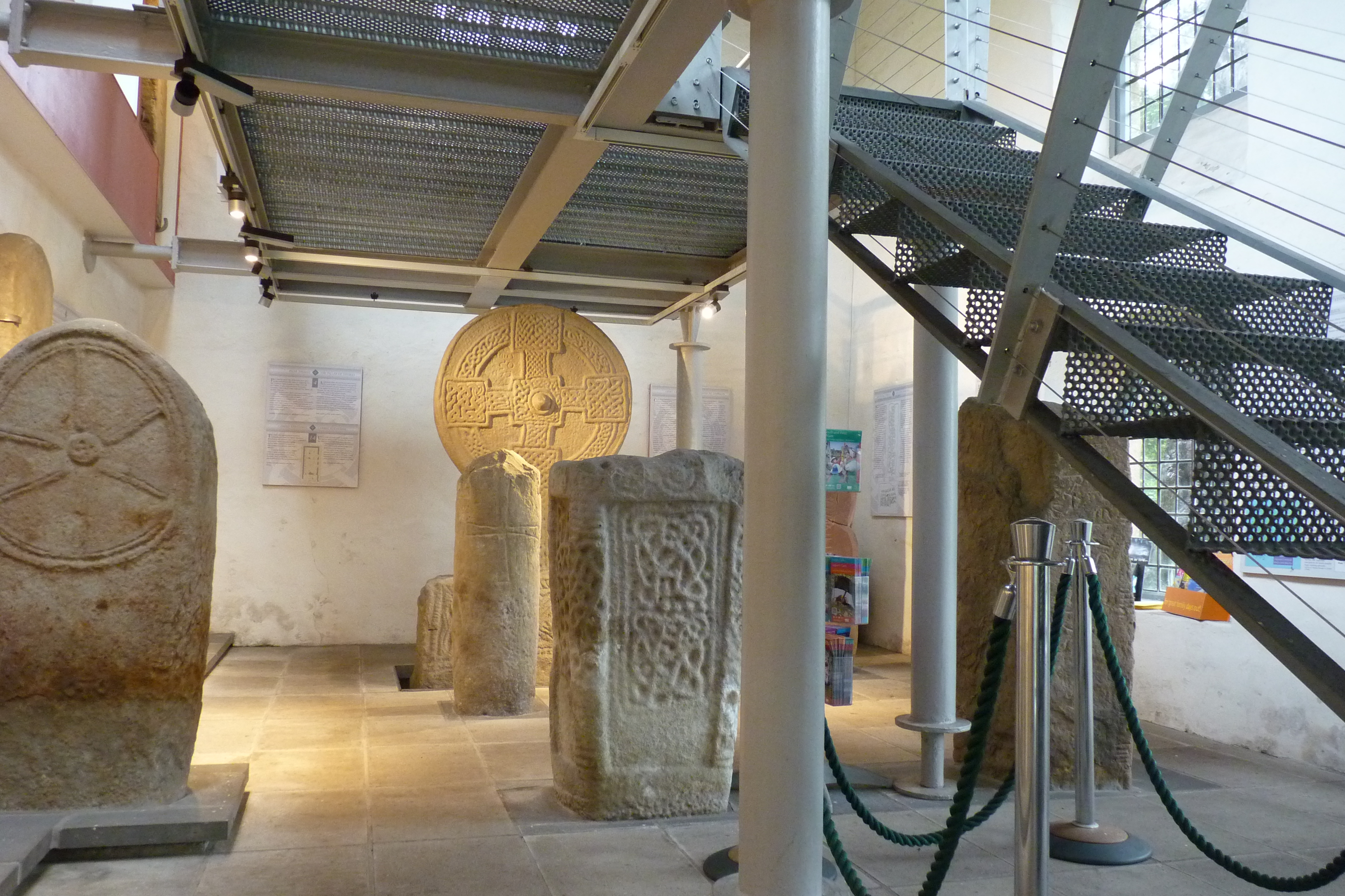
Margam Stones Museum
Margam Stones Museum is a small Victorian schoolhouse near Port Talbot, South Wales, which now provides a home for one of the most important collections...
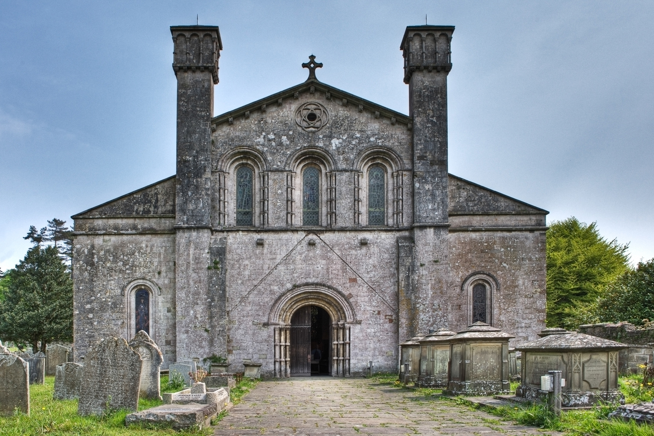
Margam Abbey
Margam Abbey (Welsh: Abaty Margam) was a Cistercian monastery, located in the village of Margam, a suburb of modern Port Talbot in Wales. == History... ==

Groes, Port Talbot
Groes was a village south of Port Talbot in the county of Glamorgan, Wales. It was demolished in 1976 to make way for Junction 39 of the new M4 motorway...

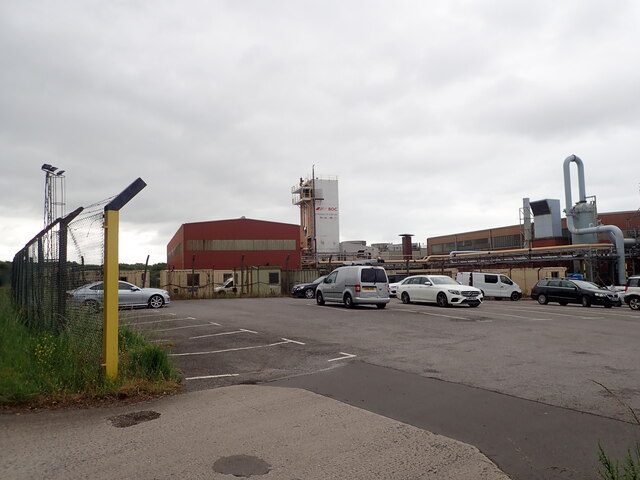
Steel Company of Wales Ground
Steel Company of Wales Ground is a cricket ground in Margam, Glamorgan. The ground was initially built and owned by the Steel Company of Wales for the...
Dragon Ride Wales
Dragon Ride L'Etape Wales by Le Tour de France is a cyclosportive event based in South Wales, UK. The event is a non competitive cycling marathon run over...
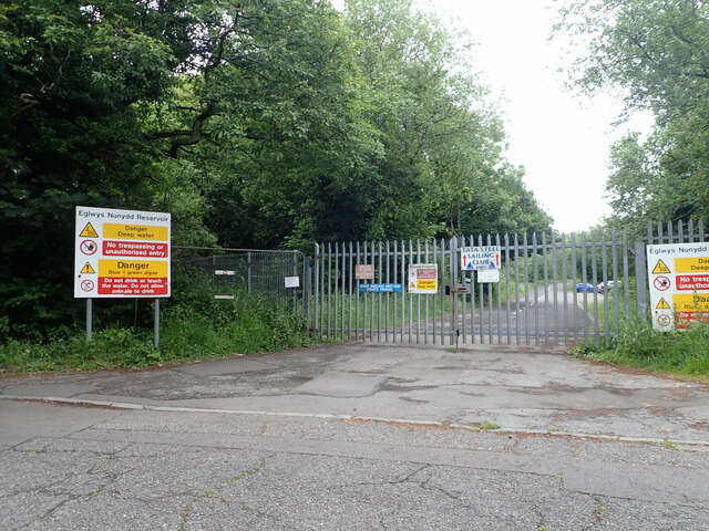
Eglwys Nunydd
The Eglwys Nunydd is a 260-acre (110 ha) supply reservoir in Margam, Wales. It was originally constructed in 1963 to provide cooling water for the cold...
Nearby Amenities
Located within 500m of 51.5656,-3.724Have you been to Mynydd y Castell Camp?
Leave your review of Mynydd y Castell Camp below (or comments, questions and feedback).