New Pond
Lake, Pool, Pond, Freshwater Marsh in Glamorgan
Wales
New Pond
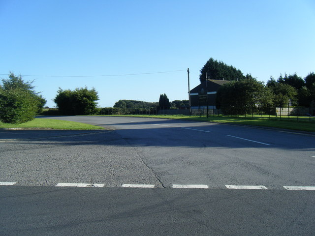
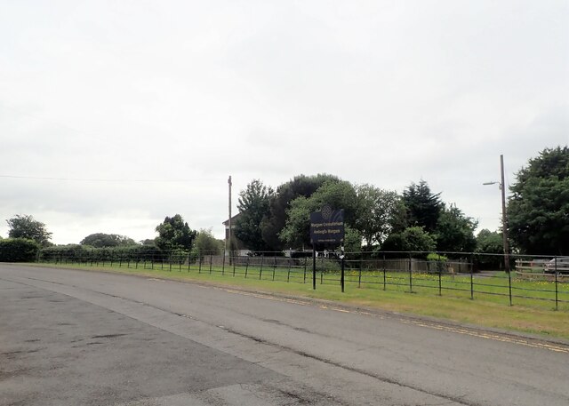
New Pond is a picturesque freshwater body located in the region of Glamorgan, Wales. Nestled among rolling hills and lush greenery, it serves as a serene and tranquil refuge for both locals and tourists alike. With an area of approximately 2 acres, New Pond is classified as a small to medium-sized water body.
The pond, fed by natural springs and rainwater runoff, boasts crystal-clear freshwater, making it an ideal habitat for a diverse range of aquatic flora and fauna. The water is teeming with various species of fish, including common carp, perch, and roach, attracting fishing enthusiasts throughout the year.
Surrounded by a verdant landscape, New Pond is a haven for birdwatchers, as it provides a sanctuary for a multitude of avian species. Visitors can spot majestic swans gliding gracefully across the water, while ducks and geese form playful communities along the pond's edge. The surrounding trees and vegetation attract a wide variety of songbirds, enhancing the symphony of nature.
New Pond is also home to a thriving ecosystem of aquatic plants, such as water lilies and reeds, which provide shelter for small invertebrates and amphibians. The pond's shallow edges give rise to a vibrant freshwater marsh, creating a habitat for frogs, toads, and dragonflies.
Visitors can enjoy the beauty of New Pond through various recreational activities. A well-maintained footpath surrounds the pond, offering walkers and joggers a scenic route with breathtaking views. Additionally, there are designated picnic areas where families can relax and enjoy a peaceful day out.
In conclusion, New Pond in Glamorgan is a stunning freshwater body that offers a harmonious blend of natural beauty, diverse wildlife, and recreational opportunities. It serves as a valuable ecological asset and a cherished destination for those seeking solace in nature's embrace.
If you have any feedback on the listing, please let us know in the comments section below.
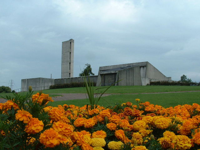
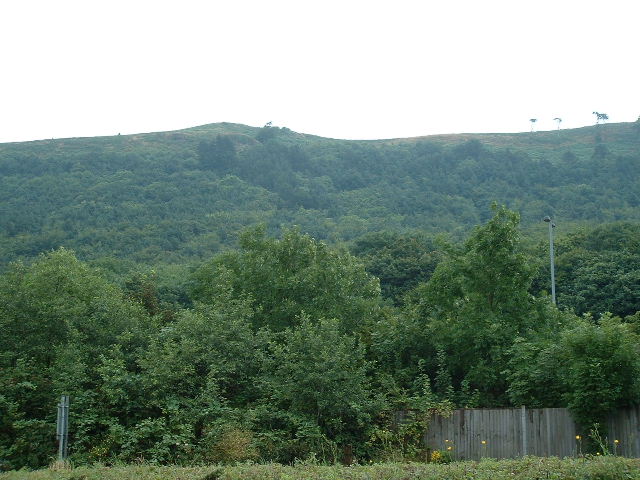
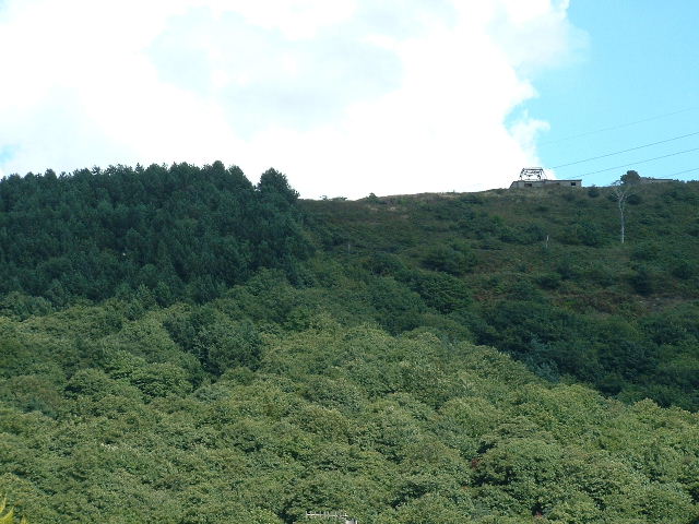
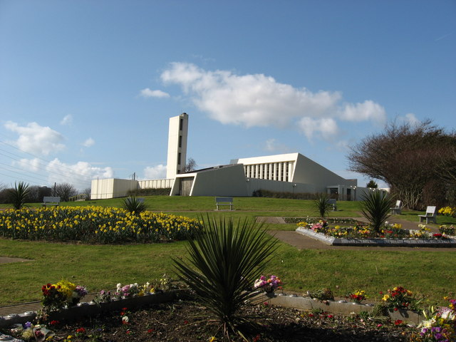
New Pond Images
Images are sourced within 2km of 51.560339/-3.7212842 or Grid Reference SS8086. Thanks to Geograph Open Source API. All images are credited.


New Pond is located at Grid Ref: SS8086 (Lat: 51.560339, Lng: -3.7212842)
Unitary Authority: Neath Port Talbot
Police Authority: South Wales
What 3 Words
///pats.neck.regard. Near Taibach, Neath Port Talbot
Nearby Locations
Related Wikis

Margam Castle
Margam Castle, Margam, Port Talbot, Wales, is a late Georgian country house built for Christopher Rice Mansel Talbot. Designed by Thomas Hopper, the castle...

Margam Country Park
Margam Country Park is a country park estate in Wales, of around 850 acres (3.4 km²). It is situated in Margam, about 2 miles (3 km) from Port Talbot in...
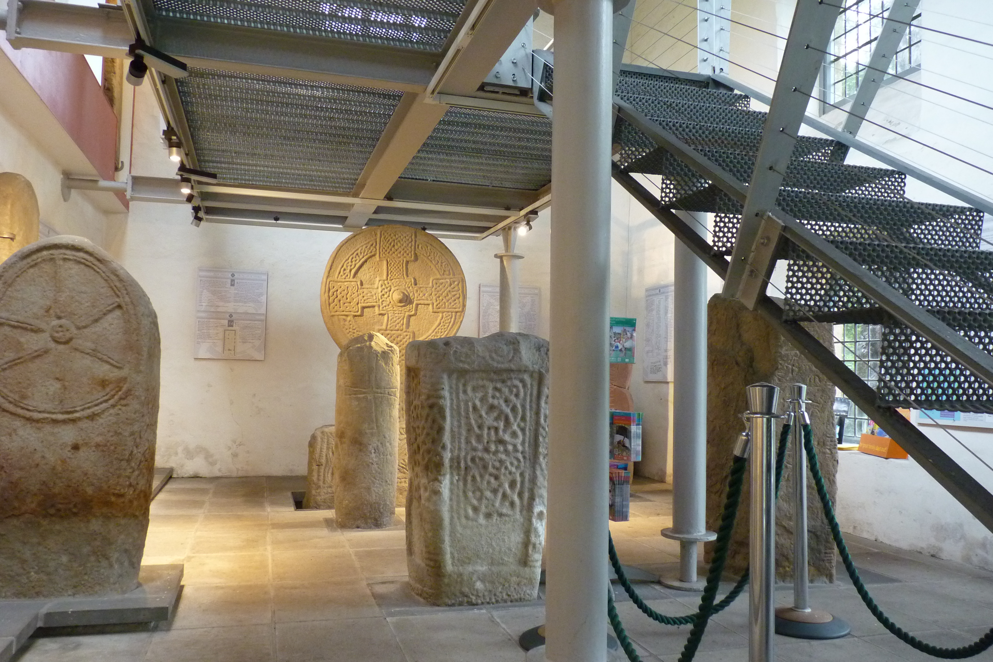
Margam Stones Museum
Margam Stones Museum is a small Victorian schoolhouse near Port Talbot, South Wales, which now provides a home for one of the most important collections...

Margam Abbey
Margam Abbey (Welsh: Abaty Margam) was a Cistercian monastery, located in the village of Margam, a suburb of modern Port Talbot in Wales. == History... ==

Eglwys Nunydd
The Eglwys Nunydd is a 260-acre (110 ha) supply reservoir in Margam, Wales. It was originally constructed in 1963 to provide cooling water for the cold...
Groes, Port Talbot
Groes was a village south of Port Talbot in the county of Glamorgan, Wales. It was demolished in 1976 to make way for Junction 39 of the new M4 motorway...

Steel Company of Wales Ground
Steel Company of Wales Ground is a cricket ground in Margam, Glamorgan. The ground was initially built and owned by the Steel Company of Wales for the...
Dragon Ride Wales
Dragon Ride L'Etape Wales by Le Tour de France is a cyclosportive event based in South Wales, UK. The event is a non competitive cycling marathon run over...
Nearby Amenities
Located within 500m of 51.560339,-3.7212842Have you been to New Pond?
Leave your review of New Pond below (or comments, questions and feedback).