Cwm Bach
Valley in Glamorgan
Wales
Cwm Bach

Cwm Bach is a small village located in the county of Glamorgan, Wales. Situated in the heart of the picturesque Glamorgan Valley, it is surrounded by rolling hills and lush green landscapes. The village is part of the wider community of the Rhondda Valley, which is known for its rich industrial heritage.
Cwm Bach has a population of around 500 residents and is characterized by its tight-knit community and welcoming atmosphere. The village is comprised mainly of traditional stone houses, giving it a charming and quaint feel. The houses are nestled along narrow streets, and a small river runs through the center of the village, adding to its idyllic setting.
Despite its small size, Cwm Bach has a few amenities to offer its residents. There is a local pub, where villagers gather to socialize and enjoy traditional Welsh food and drinks. Additionally, the village has a primary school, ensuring that children have access to education within the community.
The surrounding area of Cwm Bach provides ample opportunities for outdoor activities and exploration. The nearby valleys and hills offer beautiful walking trails, perfect for those looking to immerse themselves in nature. The village is also conveniently located near larger towns and cities, providing easy access to a wider range of amenities and services.
Overall, Cwm Bach is a serene and close-knit village, offering a peaceful lifestyle amidst the stunning natural beauty of the Glamorgan Valley.
If you have any feedback on the listing, please let us know in the comments section below.
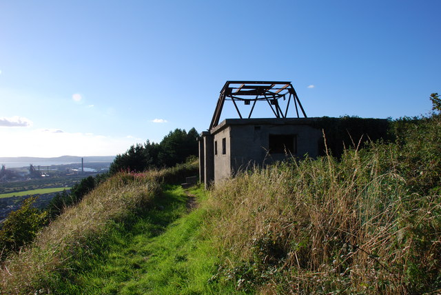
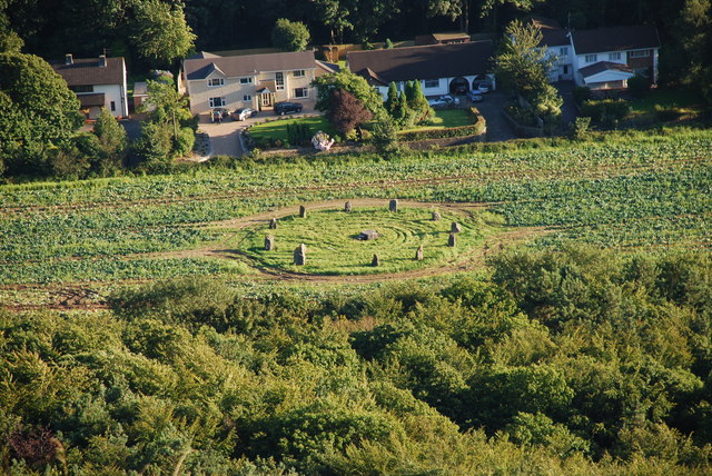
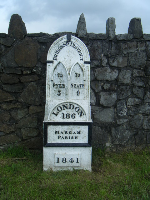
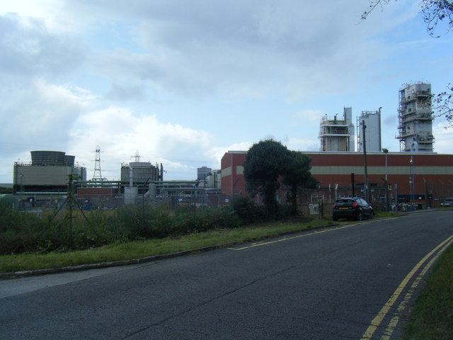
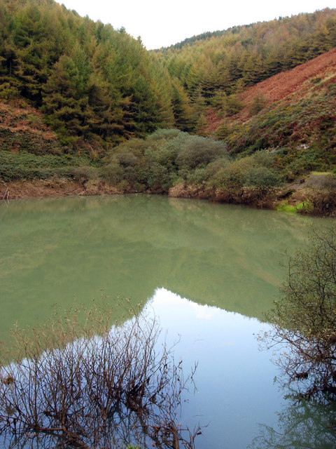
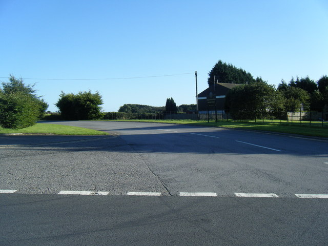
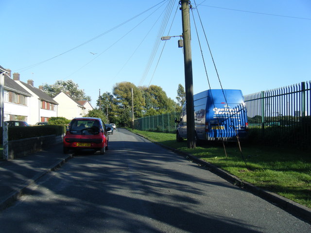
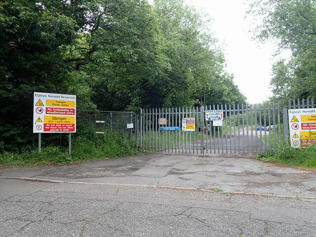
Cwm Bach Images
Images are sourced within 2km of 51.569096/-3.7287287 or Grid Reference SS8086. Thanks to Geograph Open Source API. All images are credited.


Cwm Bach is located at Grid Ref: SS8086 (Lat: 51.569096, Lng: -3.7287287)
Unitary Authority: Neath Port Talbot
Police Authority: South Wales
What 3 Words
///retraced.feasts.initiates. Near Taibach, Neath Port Talbot
Nearby Locations
Related Wikis
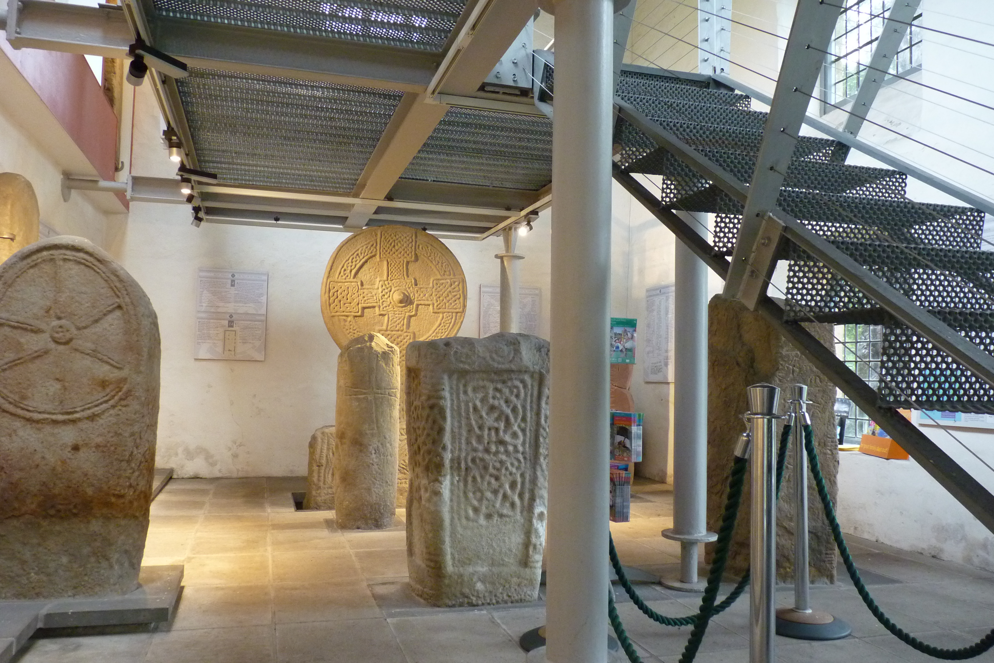
Margam Stones Museum
Margam Stones Museum is a small Victorian schoolhouse near Port Talbot, South Wales, which now provides a home for one of the most important collections...

Margam Country Park
Margam Country Park is a country park estate in Wales, of around 850 acres (3.4 km²). It is situated in Margam, about 2 miles (3 km) from Port Talbot in...

Margam Castle
Margam Castle, Margam, Port Talbot, Wales, is a late Georgian country house built for Christopher Rice Mansel Talbot. Designed by Thomas Hopper, the castle...

Groes, Port Talbot
Groes was a village south of Port Talbot in the county of Glamorgan, Wales. It was demolished in 1976 to make way for Junction 39 of the new M4 motorway...
Related Videos

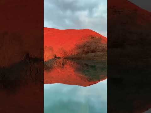
Go Hiking in Wales to Find Their Wind Farm | Margam Country Park | Experiencing Nature
joyce #nature #uk #travelvlog Subject: Go hiking in Margam Country Park to find their wind farm. Location: Margam Country Park, ...

Margam Castle, Wales (No Music, No Talk) 4K Walking Tour
4K Walking tour, Margam Castle, Wales - Walk in the Tudor-Gothic fantasy castle-home #Margam #Castle #wales #UK #4K ...

The Elegance Is Impeccable.
Young Stag Elegantly Walking In The Field.
Nearby Amenities
Located within 500m of 51.569096,-3.7287287Have you been to Cwm Bach?
Leave your review of Cwm Bach below (or comments, questions and feedback).