Mynydd y Gaer

Heritage Site in Denbighshire

Wales

Mynydd y Gaer

Looking towards Plas Cwtta
Looking towards Plas Cwtta Credit: David Medcalf

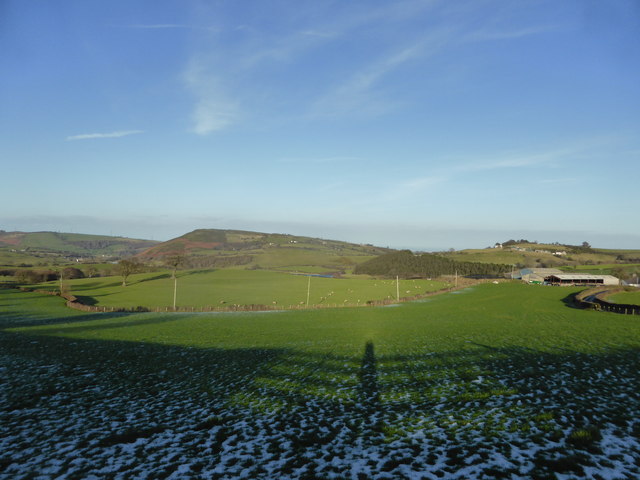
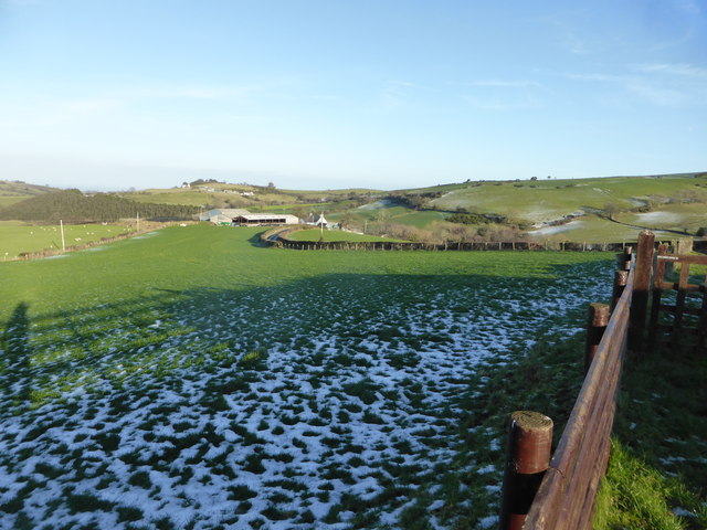
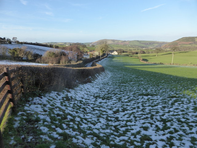
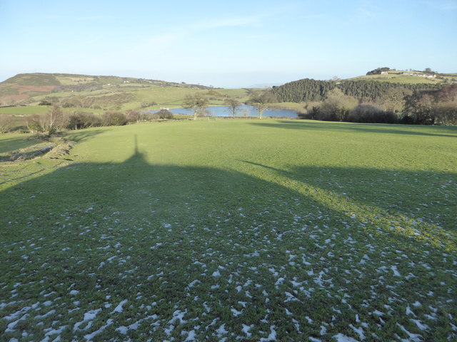
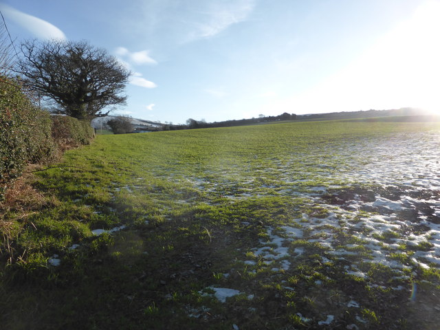
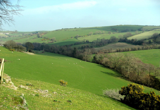
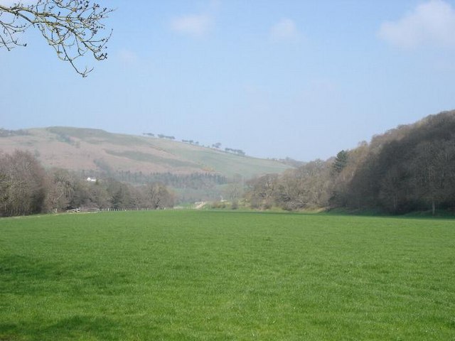
Mynydd y Gaer, located in Denbighshire, Wales, is a prominent heritage site with rich historical and archaeological significance. The site encompasses the remains of a hillfort dating back to the Iron Age, and it offers an intriguing glimpse into the lives and culture of the ancient inhabitants of the region.

The hillfort at Mynydd y Gaer is believed to have been constructed around 500 BC and was occupied until approximately 50 AD. It is situated on a prominent hilltop, providing strategic advantages such as panoramic views of the surrounding landscape and natural defensive features.

The remains of the hillfort consist of earthen ramparts and ditches, which enclose an area of around 3 hectares. These defensive structures were likely built to protect the inhabitants and their livestock from external threats. The inner area of the fort would have contained domestic structures, such as roundhouses, storage pits, and workshops.

Excavations at the site have revealed various artifacts, including pottery, tools, and fragments of iron and bronze objects. These findings provide valuable insights into the material culture and daily life of the Iron Age community that once occupied Mynydd y Gaer.

Today, Mynydd y Gaer is a popular destination for visitors interested in Welsh history and archaeology. The site offers stunning views of the surrounding countryside and provides an opportunity to explore and appreciate the ancient heritage of Denbighshire. Interpretive boards and guided tours are available to enhance visitors' understanding of the site's historical significance and the way of life of its former inhabitants.

If you have any feedback on the listing, please let us know in the comments section below.

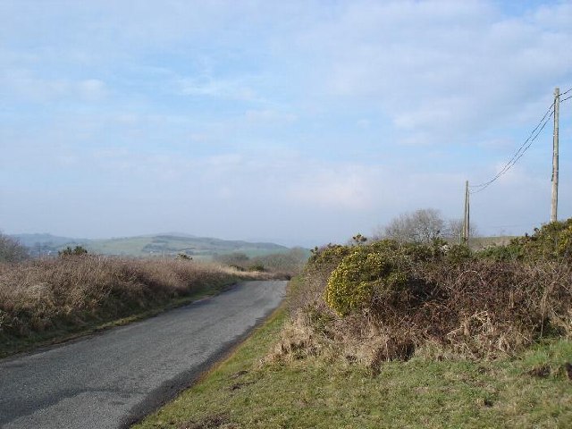
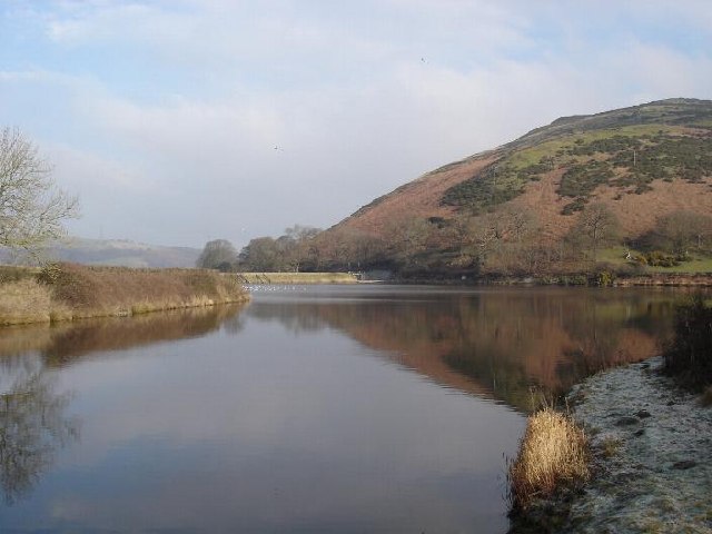
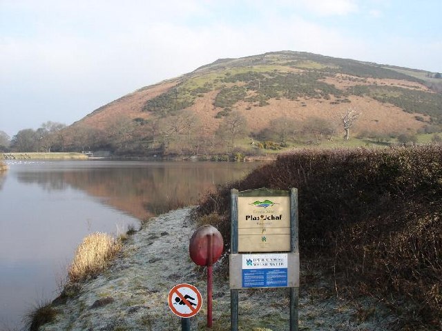
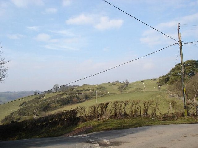
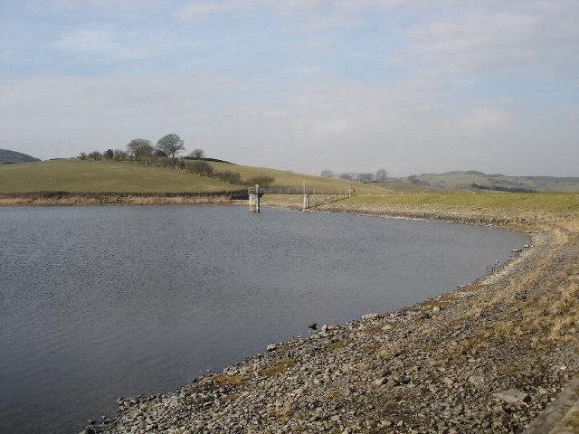
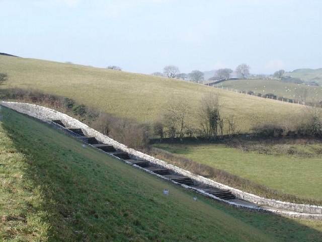
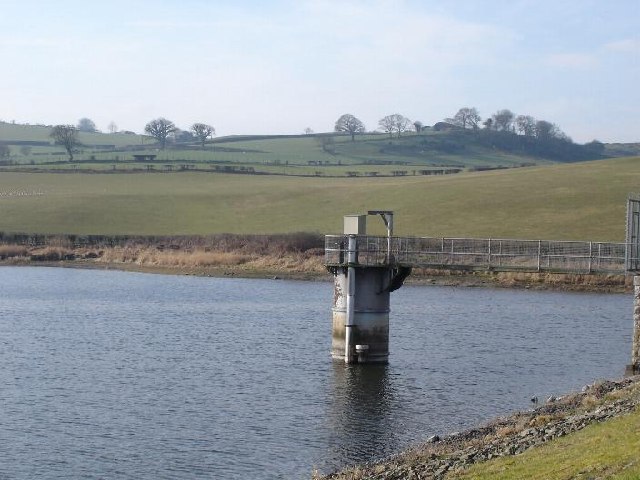
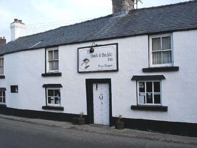
Mynydd y Gaer Images

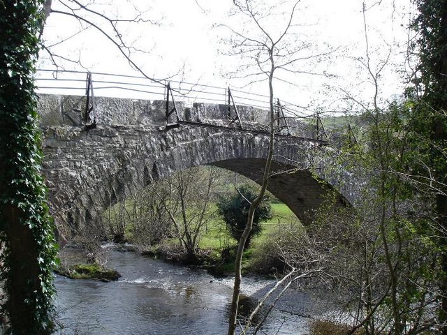
Images are sourced within 2km of 53.23/-3.535 or Grid Reference SH9771. Thanks to Geograph Open Source API. All images are credited.

Looking towards Plas Cwtta
Fences & fields near Plas Cwtta
Lane and fields near Cae Newydd The house on the right of the lane does not appear on the OS map.
Lane and fields near Cae Newydd
The house on the right of the lane does not appear on the OS map.
Looking towards Dolwen reservoir
Snowy field on Mynydd y Girt
Ger Plas Cwtta Edrych i gyfeiriad cronfa Dolwen.
looking towards Dolwen Reservoir.
Ger Plas Cwtta
Edrych i gyfeiriad cronfa Dolwen. looking towards Dolwen Reservoir.
Llannefydd Village centre of Llannefydd with the parish church to the left and the Hawk and Buckle public house to the right
Llannefydd
Village centre of Llannefydd with the parish church to the left and the Hawk and Buckle public house to the right
Llannefydd Village of Llannefydd looking down from the village hall
Llannefydd
Village of Llannefydd looking down from the village hall
Lane to Llannefydd Lane on approach to the village of Llannefydd
Lane to Llannefydd
Lane on approach to the village of Llannefydd
Plas Uchaf Reservoir The reservoir sits to the west of the village of Llannefydd
Plas Uchaf Reservoir
The reservoir sits to the west of the village of Llannefydd
Plas Uchaf Reservoir Owned by Welsh Water, this reservoir services the North Wales coastal region.

Mynydd y Gaer, with a hillfort on top, is in the background. Mynydd y Gaer is Welsh for Mountain Fort. The hillfort is thought to be Iron Age or later.
Plas Uchaf Reservoir
Owned by Welsh Water, this reservoir services the North Wales coastal region. Mynydd y Gaer, with a hillfort on top, is in the background. Mynydd y Gaer is Welsh for Mountain Fort. The hillfort is thought to be Iron Age or later.
Lane and hills Narrow country lanes skirt the hillsides to the west of Llannefydd
Lane and hills
Narrow country lanes skirt the hillsides to the west of Llannefydd
Dolwen reservoir Welsh water authority owned Dolwen reservoir near to the village of Llannefydd
Dolwen reservoir
Welsh water authority owned Dolwen reservoir near to the village of Llannefydd
Reservoir steps The outflow steps leading from Dolwen reservoir
Reservoir steps
The outflow steps leading from Dolwen reservoir
Dolwen reservoir Dolwen reservoir near Llannefydd
Dolwen reservoir
Dolwen reservoir near Llannefydd
The Hawk & Buckle A seventeenth century coaching inn on the old stagecoach route to Holyhead between Denbigh and Abergele in the village of Llannefydd
The Hawk & Buckle
A seventeenth century coaching inn on the old stagecoach route to Holyhead between Denbigh and Abergele in the village of Llannefydd
Pen y Coed Looking over fields towards the hills near Pen y Coed
Pen y Coed
Looking over fields towards the hills near Pen y Coed
Pont y Ddôl The stone bridge "pont" near Ddôl.  Pont or Bont is Welsh for bridge.
Pont y Ddôl
The stone bridge "pont" near Ddôl. Pont or Bont is Welsh for bridge.
Show me another place!

Mynydd y Gaer is located at Grid Ref: SH9771 (Lat: 53.23, Lng: -3.535)

What 3 Words

///dearest.digestion.unrated. Near Bodelwyddan, Denbighshire

Nearby Locations

Mynydd y Gaer

Related Wikis

Llannefydd F.C.

CPD Llannefydd FC (Welsh: Clwb Pêl Droed Llannefydd) is a Welsh football team based in Llannefydd, Conwy County Borough. The team currently play in the...

Llannefydd

Llannefydd (sometimes Welsh: Llanefydd) is a village and community in Conwy County Borough, in Wales. It is located on the border with Denbighshire, between...

Moelfre Isaf

Moelfre Isaf is a 317 m (1,040 ft) hill located to the south of the town of Abergele. There are views towards the Clwydian Range, Snowdonia, and the Isle...

River Aled

The River Aled, a small river near Conwy County Borough, flows into River Elwy.The river originates at Llyn Aled on Mynydd Hiraethog to the right of the...

Cefn Meiriadog

Cefn Meiriadog (sometimes Cefnmeriadog) is a rural community in Denbighshire, Wales, just south-west of the city of St Asaph. The boundary of the community...
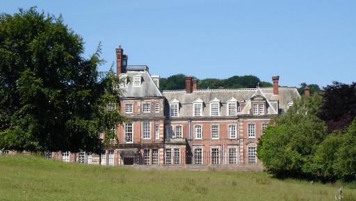
Kinmel Hall

Kinmel Hall is a large country mansion within Kimnel Park near the village of St. George, close to the coastal town of Abergele, in Conwy county borough...

Bedd-y-Cawr Hillfort

Bedd-y-Cawr Hillfort, or Bedd y Cawr Hillfort, is an Iron Age hillfort on a natural inland promontory in the community of Cefnmeiriadog in Denbighshire...

Kinmel Park Training Area

Kinmel Park Training Area is an army training ground in what was once the grounds of Kinmel Hall, near Abergele, in Conwy county borough, Wales. The camp...

Related Videos

quickbuild ford mustang gt

holiday and still building lol.

Nearby Amenities

Located within 500m of 53.23,-3.535
Mynydd Y Gaer
Ele: 275
Natural: peak
Wikidata: Q13130334
Lat/Long: 53.2331093/-3.5402242
Power: pole
Lat/Long: 53.2266788/-3.5391964
Power: pole
Lat/Long: 53.2268451/-3.5383678
Power: pole
Lat/Long: 53.227049/-3.5368697
Power: pole
Lat/Long: 53.227254/-3.5353123
Power: pole
Lat/Long: 53.2274547/-3.5338558
Power: pole
Lat/Long: 53.2276447/-3.5322947
Power: pole
Lat/Long: 53.2278367/-3.5309968
Power: pole
Lat/Long: 53.2280396/-3.5294682
Power: pole
Lat/Long: 53.2282511/-3.5285633
Power: pole
Lat/Long: 53.2283482/-3.5281415
Direction: SSW
Generator Method: photovoltaic
Generator Output Electricity: yes
Generator Solar Modules: 14
Generator Source: solar
Generator Type: solar_photovoltaic_panel
Location: roof
Power: generator
Lat/Long: 53.2312906/-3.5344347
Direction: 145
Generator Method: photovoltaic
Generator Output Electricity: yes
Generator Solar Modules: 21
Generator Source: solar
Generator Type: solar_photovoltaic_panel
Location: roof
Power: generator
Lat/Long: 53.2289212/-3.5284098
The data included in this document is from www.openstreetmap.org. The data is made available under ODbL.

Have you been to Mynydd y Gaer?

Leave your review of Mynydd y Gaer below (or comments, questions and feedback).