King's Stone

Heritage Site in Derbyshire Derbyshire Dales

England

King's Stone

Path down from Stanton Moor
Path down from Stanton Moor Credit: David Lally

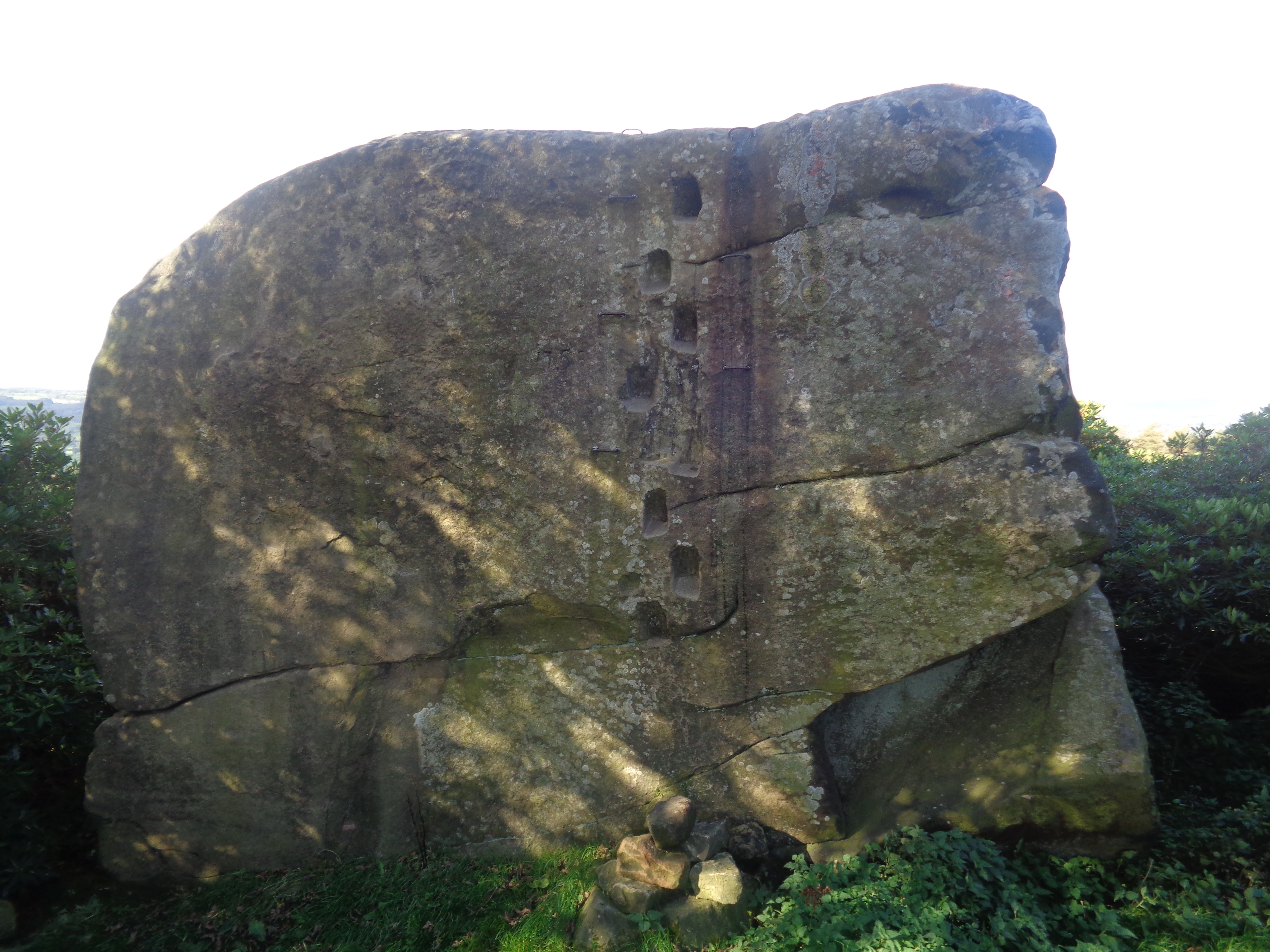
King's Stone is a historic heritage site located in Derbyshire, England. It is a large standing stone and is considered to be one of the most significant prehistoric monuments in the region. The stone stands at an impressive height of approximately 2.7 meters and is made of local gritstone.

The King's Stone is believed to be of Neolithic origin, dating back to around 2000 BC. It is situated on a hillside, providing stunning panoramic views of the surrounding countryside. The stone is thought to have been a prominent marker or boundary stone in ancient times.

The stone itself has a unique shape, with one side being flat and the other side being more rounded. It is speculated that this distinctive shape may have held symbolic meaning for the people who erected it.

Over the years, the King's Stone has become the subject of various legends and folklore. One such legend suggests that the stone was used by kings of old for ceremonial purposes, hence its name. However, there is no concrete evidence to support these claims.

The site is easily accessible to visitors, with a designated footpath leading to the stone. It is a popular destination for hikers, history enthusiasts, and those seeking to enjoy the natural beauty of the Derbyshire countryside.

In conclusion, King's Stone is an ancient standing stone in Derbyshire, England, believed to be of Neolithic origin. It is an interesting and culturally significant heritage site that offers visitors a glimpse into the region's prehistoric past.

If you have any feedback on the listing, please let us know in the comments section below.

King's Stone Images

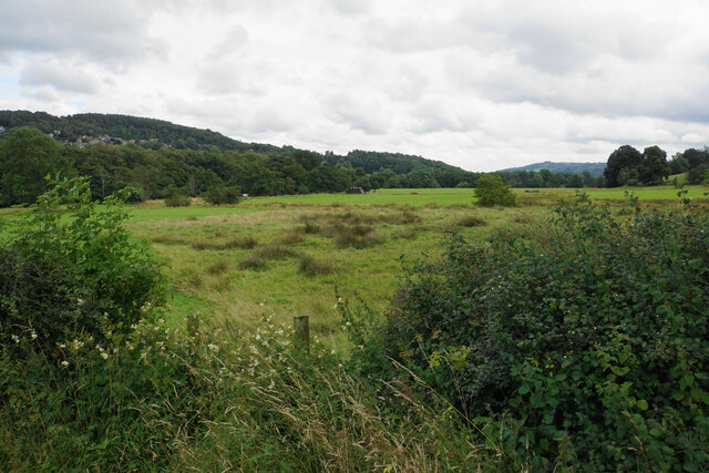
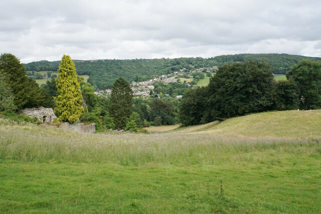
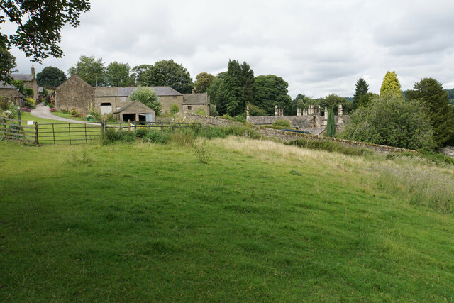
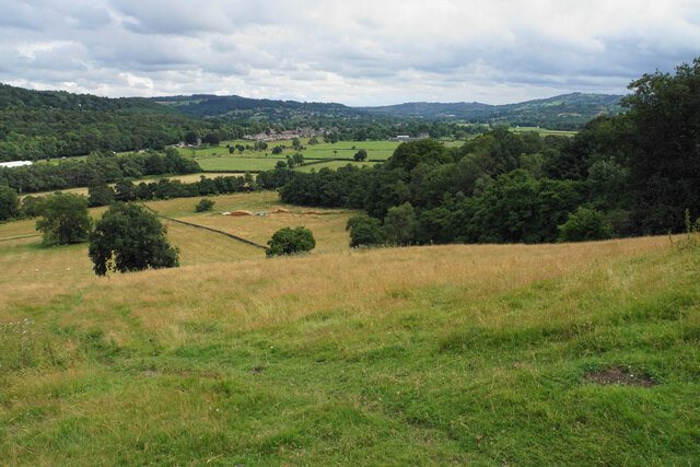
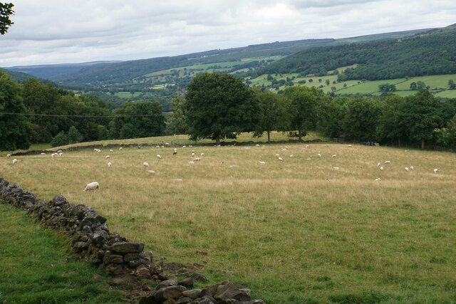
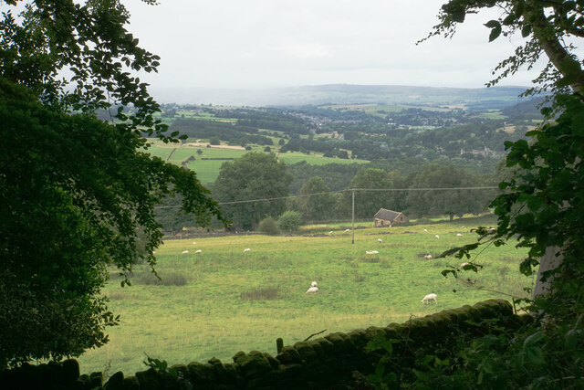
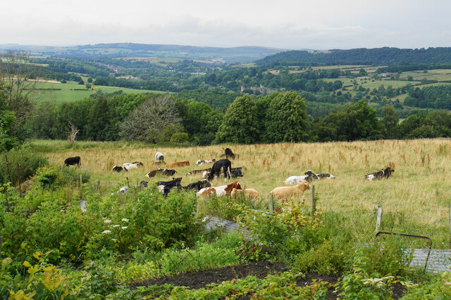
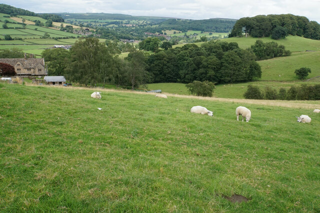
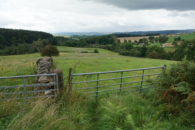
Images are sourced within 2km of 53.168/-1.633 or Grid Reference SK2463. Thanks to Geograph Open Source API. All images are credited.

Path down from Stanton Moor
Leaning oak Wind-blown on Stanton Moor.
Leaning oak
Wind-blown on Stanton Moor.
Valley bottom of the River Derwent Part of the flood plain of the Derwent near Rowsley, a little below its confluence with the Wye.
Valley bottom of the River Derwent
Part of the flood plain of the Derwent near Rowsley, a little below its confluence with the Wye.
Hillside below Stanton Woodhouse The western side of the Derwent valley. The village of Northwood is seen on the other side.
Hillside below Stanton Woodhouse
The western side of the Derwent valley. The village of Northwood is seen on the other side.
Stanton Woodhouse A manor house and farm in the Haddon estate.
Stanton Woodhouse
A manor house and farm in the Haddon estate.
Hillside above the Derwent valley A hillside near Stanton Woodhouse. The next visible community is Darley Dale.
Hillside above the Derwent valley
A hillside near Stanton Woodhouse. The next visible community is Darley Dale.
Sheep above Stanton Woodhouse Looking up the Derwent valley.
Sheep above Stanton Woodhouse
Looking up the Derwent valley.
Cottages in Stanton in Peak A long thin village climbing the hillside. A shower is passing a couple of miles to the north.
Cottages in Stanton in Peak
A long thin village climbing the hillside. A shower is passing a couple of miles to the north.
Field near Stanton in Peak A view from the top of the village, which is off to the left.
Field near Stanton in Peak
A view from the top of the village, which is off to the left.
Cottages in Stanton in Peak Near the bottom of the long thin village.
Cottages in Stanton in Peak
Near the bottom of the long thin village.
Field at Stanton in Peak Right at the bottom of the village.
Field at Stanton in Peak
Right at the bottom of the village.
Stanton in Peak From the bottom of the village looking up. The spire of Holy Trinity Church is seen but the village continues quite a long way past that.
Stanton in Peak
From the bottom of the village looking up. The spire of Holy Trinity Church is seen but the village continues quite a long way past that.
Stanton in Peak The village pub, the Flying Childers, is straight ahead, and the spire of Holy Trinity Church is behind.
Stanton in Peak
The village pub, the Flying Childers, is straight ahead, and the spire of Holy Trinity Church is behind.
Allotments and cattle at Stanton in Peak Looking down on the valley of the River Wye where Haddon Hall can be seen.
Allotments and cattle at Stanton in Peak
Looking down on the valley of the River Wye where Haddon Hall can be seen.
Sheep above Congreave Looking towards Rowsley down the Wye valley.
Sheep above Congreave
Looking towards Rowsley down the Wye valley.
Fields near Birchover The village is seen in the background from this point on Birchover Edge.
Fields near Birchover
The village is seen in the background from this point on Birchover Edge.
Fields below Birchover Looking down towards the valley of Ivy Bar Brook.
Fields below Birchover
Looking down towards the valley of Ivy Bar Brook.
Portal of Hillcarr Sough, Darley Dale Set back from the River Derwent, into which its water flows, is the portal or tail of Hillcarr Sough, one of the most important mine drainage levels within the Derbyshire lead mining area. The total length, including its many branches, is approximately 4.5 miles. Begun in 1766 it took twenty one years to reach the mines and cost about £32,000, which was a huge sum in those days. Because of the great depth beneath Stanton Moor, there were few air shafts sunk during its construction which caused ventilation problems. Ultimately it was hugely successful, allowing mining at depth in the mines around Alport and Youlgreave. Exploration in the late 70s, in chest deep water, revealed beautiful gritstone arching which was carried for some distance from the portal but shortly after this ends, there has been a roof fall over which the water now roars. A rusty link on the portal's keystone was once visible and used to tie boats up during and after construction.
Portal of Hillcarr Sough, Darley Dale
Set back from the River Derwent, into which its water flows, is the portal or tail of Hillcarr Sough, one of the most important mine drainage levels within the Derbyshire lead mining area. The total length, including its many branches, is approximately 4.5 miles. Begun in 1766 it took twenty one years to reach the mines and cost about £32,000, which was a huge sum in those days. Because of the great depth beneath Stanton Moor, there were few air shafts sunk during its construction which caused ventilation problems. Ultimately it was hugely successful, allowing mining at depth in the mines around Alport and Youlgreave. Exploration in the late 70s, in chest deep water, revealed beautiful gritstone arching which was carried for some distance from the portal but shortly after this ends, there has been a roof fall over which the water now roars. A rusty link on the portal's keystone was once visible and used to tie boats up during and after construction.
Show me another place!

King's Stone is located at Grid Ref: SK2463 (Lat: 53.168, Lng: -1.633)

Administrative County: Derbyshire

District: Derbyshire Dales

Police Authority: Derbyshire

What 3 Words

///noises.boarding.airfields. Near Youlgreave, Derbyshire

Related Wikis

Nine Ladies

The Nine Ladies is a stone circle located on Stanton Moor in Derbyshire in the English East Midlands. The Nine Ladies is part of a tradition of stone circle...

Stanton Moor

Stanton Moor is a small upland area in the Derbyshire Peak District of central northern England, lying between Matlock and Bakewell near the villages of...

Andle Stone

The Andle Stone is a large gritstone boulder on Stanton Moor in Derbyshire. The stone block is 6m long, 4m high and lies within a low, circular, dry stone...

Stanton Hall, Stanton in Peak

Stanton Hall is a privately owned country house at Stanton in Peak in the Derbyshire Peak District, the home of the Davie-Thornhill family. It is a Grade...

Holy Trinity Church, Stanton-in-Peak

Holy Trinity Church, Stanton-in-Peak is a Grade II listed parish church in the Church of England in Stanton in Peak, Derbyshire. == History == The church...

Stanton in Peak

Stanton in Peak (also written as Stanton-in-Peak) is a village in the Derbyshire Dales district of Derbyshire, It is about seven miles north-west of Matlock...

Doll Tor

Doll Tor is a stone circle located just to the west of Stanton Moor, near the village of Birchover, Derbyshire in the English East Midlands. Doll Tor is...

St Michael's Church, Birchover

St Michael's Church, Birchover, also known as Rowtor Chapel, is a Grade II listed parish church in the Church of England in Birchover, Derbyshire. Located...

Nearby Amenities

Located within 500m of 53.168,-1.633
Board Title: The Nine Ladies Stone Circle
Board Type: history
Information: board
Tourism: information
Lat/Long: 53.1678899/-1.6284043
Board Title: Stanton Moor - thousands of years of human activity
Board Type: history
Information: board
Tourism: information
Lat/Long: 53.1705273/-1.6295129
Natural: stone
Lat/Long: 53.1679673/-1.6288827
Inscribed stones 1854
Historic: archaeological_site
Lat/Long: 53.1677368/-1.6262299
Natural: stone
Lat/Long: 53.1680178/-1.6288599
Natural: stone
Lat/Long: 53.1680099/-1.6287352
T55 large cairn
Historic: archaeological_site
Lat/Long: 53.1647351/-1.6302126
Natural: stone
Lat/Long: 53.1679503/-1.6288656
Natural: stone
Lat/Long: 53.1679329/-1.6287805
T62 stone circle
Archaeological Site: megalith
Historic: archaeological_site
Megalith Type: stone_circle
Lat/Long: 53.1696322/-1.6284072
Duke of York Stone
Historic: archaeological_site
Lat/Long: 53.1698675/-1.6269798
Natural: stone
Lat/Long: 53.1680243/-1.6287621
Natural: stone
Lat/Long: 53.1679614/-1.6287263
Barrier: stile
Source: survey;gps
Stile: stepover
Lat/Long: 53.1683902/-1.6272554
Stanton Moor
Man Made: tower
Lat/Long: 53.170253/-1.6337646
Barrier: stile
Material: wood
Source: survey;gps
Stile: stepover
Lat/Long: 53.1664623/-1.6346952
Natural: rock
Lat/Long: 53.1660447/-1.6338529
The Kings Stone
Historic: archaeological_site
Natural: stone
Lat/Long: 53.1678295/-1.6293347
Natural: stone
Lat/Long: 53.1680292/-1.6288136
Natural: stone
Lat/Long: 53.1679947/-1.6288808
Barrier: stile
Material: wood
Source: survey;gps
Stile: stepover
Lat/Long: 53.168913/-1.6299465
The data included in this document is from www.openstreetmap.org. The data is made available under ODbL.

Have you been to King's Stone?

Leave your review of King's Stone below (or comments, questions and feedback).