King's Stone

Heritage Site in Perthshire

Scotland

King's Stone

A9, northbound The A9 is a strategic link between the Highlands of Scotland and the Central Belt. It runs 279 miles from junction 5 of the M9 at Polmont to Scrabster. Originally it ran from Edinburgh.
<span class="nowrap"><a title="https://www.sabre-roads.org.uk/wiki/index.php?title=A9" rel="nofollow ugc noopener" href="https://www.sabre-roads.org.uk/wiki/index.php?title=A9">Link</a><img style="margin-left:2px;" alt="External link" title="External link - shift click to open in new window" src="https://s1.geograph.org.uk/img/external.png" width="10" height="10"/></span>
A9, northbound Credit: N Chadwick

King's Stone is a historical heritage site located in Perthshire, Scotland. Situated near the village of Stanley, it is a standing stone monument that holds significant cultural and historical value. The stone is believed to date back to the Bronze Age, around 3,000 to 2,000 BCE.

The King's Stone stands at an impressive height of around 5 meters and is made of local red sandstone. It has a rough, weathered appearance, showcasing its age and the passage of time. The stone is surrounded by a small fenced enclosure, allowing visitors to observe it from a close distance.

The origin and purpose of the King's Stone have long been debated among historians and archaeologists. Some theories suggest that it might have served as a ceremonial or religious monument, while others propose that it could have marked a burial site. Despite the uncertainty surrounding its purpose, the stone's significance lies in its ability to provide insight into the ancient cultures and beliefs of the people who lived in the area thousands of years ago.

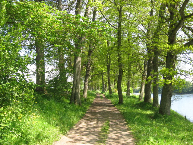
In addition to its historical significance, the King's Stone is also surrounded by beautiful natural scenery. Visitors to the site can enjoy panoramic views of the surrounding Perthshire countryside, with rolling hills and lush greenery stretching as far as the eye can see. This combination of historical intrigue and natural beauty makes King's Stone a compelling destination for both history enthusiasts and nature lovers alike.

If you have any feedback on the listing, please let us know in the comments section below.

King's Stone Images

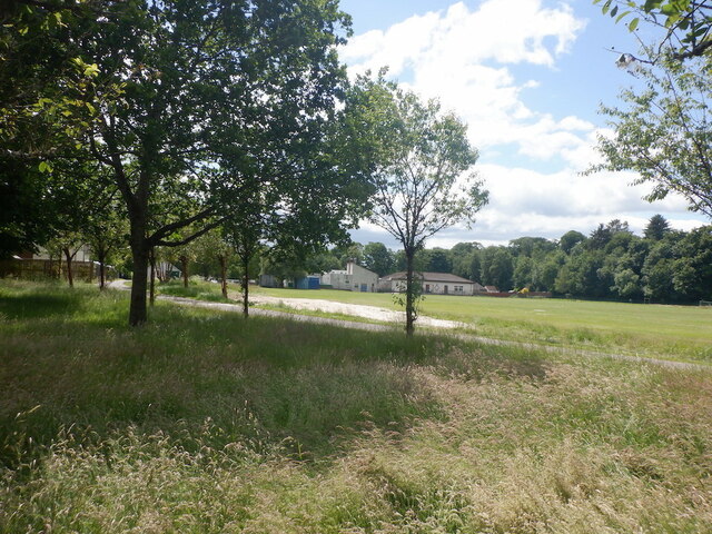
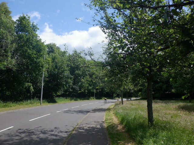
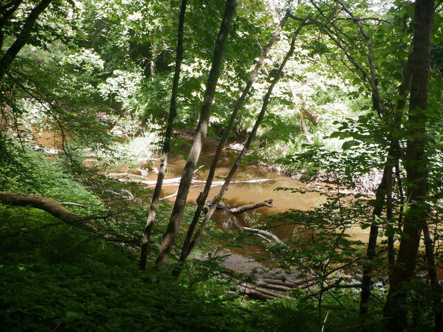
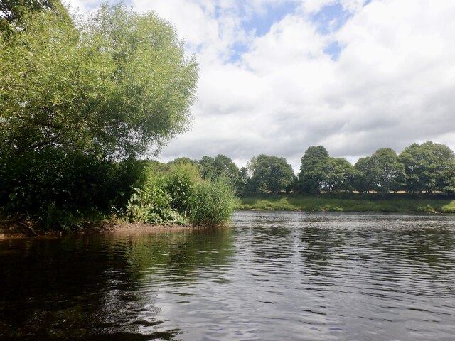
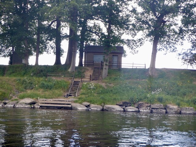
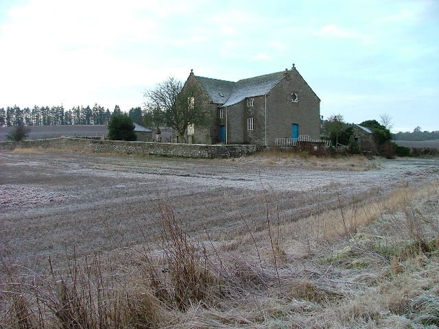
Images are sourced within 2km of 56.44/-3.468 or Grid Reference NO0928. Thanks to Geograph Open Source API. All images are credited.

A9, northbound The A9 is a strategic link between the Highlands of Scotland and the Central Belt. It runs 279 miles from junction 5 of the M9 at Polmont to Scrabster. Originally it ran from Edinburgh.
<span class="nowrap"><a title="https://www.sabre-roads.org.uk/wiki/index.php?title=A9" rel="nofollow ugc noopener" href="https://www.sabre-roads.org.uk/wiki/index.php?title=A9">Link</a><img style="margin-left:2px;" alt="External link" title="External link - shift click to open in new window" src="https://s1.geograph.org.uk/img/external.png" width="10" height="10"/></span>
A9, northbound
The A9 is a strategic link between the Highlands of Scotland and the Central Belt. It runs 279 miles from junction 5 of the M9 at Polmont to Scrabster. Originally it ran from Edinburgh. LinkExternal link
Road bridge - A9 northbound
The Crescent, Luncarty
A9 crossing River Almond The A9 is a strategic link between the Highlands of Scotland and the Central Belt. It runs 279 miles from junction 5 of the M9 at Polmont to Scrabster. Originally it ran from Edinburgh.
<span class="nowrap"><a title="https://www.sabre-roads.org.uk/wiki/index.php?title=A9" rel="nofollow ugc noopener" href="https://www.sabre-roads.org.uk/wiki/index.php?title=A9">Link</a><img style="margin-left:2px;" alt="External link" title="External link - shift click to open in new window" src="https://s1.geograph.org.uk/img/external.png" width="10" height="10"/></span>
A9 crossing River Almond
The A9 is a strategic link between the Highlands of Scotland and the Central Belt. It runs 279 miles from junction 5 of the M9 at Polmont to Scrabster. Originally it ran from Edinburgh. LinkExternal link
Roadworks, A9 The A9 is a strategic link between the Highlands of Scotland and the Central Belt. It runs 279 miles from junction 5 of the M9 at Polmont to Scrabster. Originally it ran from Edinburgh.
<span class="nowrap"><a title="https://www.sabre-roads.org.uk/wiki/index.php?title=A9" rel="nofollow ugc noopener" href="https://www.sabre-roads.org.uk/wiki/index.php?title=A9">Link</a><img style="margin-left:2px;" alt="External link" title="External link - shift click to open in new window" src="https://s1.geograph.org.uk/img/external.png" width="10" height="10"/></span>
Roadworks, A9
The A9 is a strategic link between the Highlands of Scotland and the Central Belt. It runs 279 miles from junction 5 of the M9 at Polmont to Scrabster. Originally it ran from Edinburgh. LinkExternal link
A9, northbound The A9 is a strategic link between the Highlands of Scotland and the Central Belt. It runs 279 miles from junction 5 of the M9 at Polmont to Scrabster. Originally it ran from Edinburgh.
<span class="nowrap"><a title="https://www.sabre-roads.org.uk/wiki/index.php?title=A9" rel="nofollow ugc noopener" href="https://www.sabre-roads.org.uk/wiki/index.php?title=A9">Link</a><img style="margin-left:2px;" alt="External link" title="External link - shift click to open in new window" src="https://s1.geograph.org.uk/img/external.png" width="10" height="10"/></span>
A9, northbound
The A9 is a strategic link between the Highlands of Scotland and the Central Belt. It runs 279 miles from junction 5 of the M9 at Polmont to Scrabster. Originally it ran from Edinburgh. LinkExternal link
A9, northbound at Luncarty The A9 is a strategic link between the Highlands of Scotland and the Central Belt. It runs 279 miles from junction 5 of the M9 at Polmont to Scrabster. Originally it ran from Edinburgh.
<span class="nowrap"><a title="https://www.sabre-roads.org.uk/wiki/index.php?title=A9" rel="nofollow ugc noopener" href="https://www.sabre-roads.org.uk/wiki/index.php?title=A9">Link</a><img style="margin-left:2px;" alt="External link" title="External link - shift click to open in new window" src="https://s1.geograph.org.uk/img/external.png" width="10" height="10"/></span>
A9, northbound at Luncarty
The A9 is a strategic link between the Highlands of Scotland and the Central Belt. It runs 279 miles from junction 5 of the M9 at Polmont to Scrabster. Originally it ran from Edinburgh. LinkExternal link
A9, northbound The A9 is a strategic link between the Highlands of Scotland and the Central Belt. It runs 279 miles from junction 5 of the M9 at Polmont to Scrabster. Originally it ran from Edinburgh.
<span class="nowrap"><a title="https://www.sabre-roads.org.uk/wiki/index.php?title=A9" rel="nofollow ugc noopener" href="https://www.sabre-roads.org.uk/wiki/index.php?title=A9">Link</a><img style="margin-left:2px;" alt="External link" title="External link - shift click to open in new window" src="https://s1.geograph.org.uk/img/external.png" width="10" height="10"/></span>
A9, northbound
The A9 is a strategic link between the Highlands of Scotland and the Central Belt. It runs 279 miles from junction 5 of the M9 at Polmont to Scrabster. Originally it ran from Edinburgh. LinkExternal link
Matrix board - A9 northbound
Junction - A9 northbound
River Tay path .
This riverside pathway extends from Luncarty through to the River Almond. It's a delightful walk especially in late spring with a profusion of wild flowers present.
Mature hardwoods line most of the way with Oak. Beech, Cherry and Birch dominating.
River Tay path
. This riverside pathway extends from Luncarty through to the River Almond. It's a delightful walk especially in late spring with a profusion of wild flowers present. Mature hardwoods line most of the way with Oak. Beech, Cherry and Birch dominating.
Langland Park, Luncarty
Marshall Way, Luncarty
Shochie Burn, Luncarty Near the confluence with the Tay.
Shochie Burn, Luncarty
Near the confluence with the Tay.
River Tay, Luncarty At the confluence with the Shochie Burn.
River Tay, Luncarty
At the confluence with the Shochie Burn.
River Tay, Luncarty
River Tay, Luncarty
Tay, Denmark Green
Tay, Denmark Green
Show me another place!

King's Stone is located at Grid Ref: NO0928 (Lat: 56.44, Lng: -3.468)

Unitary Authority: Perth and Kinross

Police Authority: Tayside

What 3 Words

///climbing.refrained.decisive. Near Luncarty, Perth & Kinross

Nearby Locations

King's Stone Denmark Green

Related Wikis

Redgorton

Redgorton is a settlement in Gowrie, Perth and Kinross, Scotland. It lies a few miles from the River Tay and the A9 road, across the latter from Luncarty...

Luncarty railway station

Luncarty railway station served the village of Luncarty, Perth and Kinross, Scotland, from 1848 to 1951 on the Scottish Midland Junction Railway. ��2...
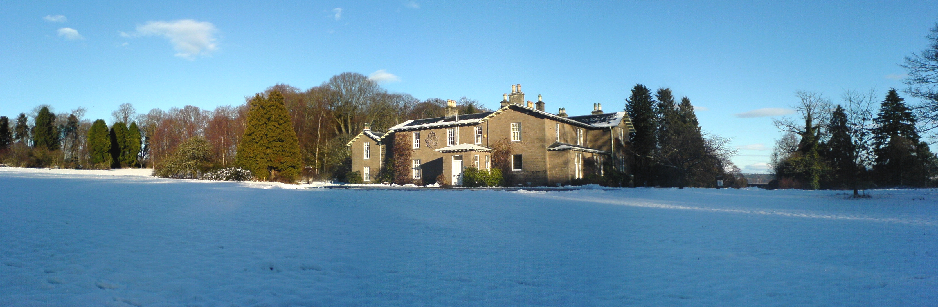
Battleby

Battleby is a country house in Perth and Kinross, Scotland. It is in the parish of Redgorton, 1 kilometre (0.62 mi) west of Luncarty and 6 kilometres...

Luncarty

Luncarty (; pronounced Lung-cur-tay [ˈlʌŋkəɾte]) is a village in Perth and Kinross, Scotland, approximately 4 miles (6 kilometres) north of Perth. It lies...

Nearby Amenities

Located within 500m of 56.44,-3.468
Parking
Layby 4
Access: yes
Fee: no
Parking: layby
Source: survey
Lat/Long: 56.4406116/-3.4720836
Parking
Layby 3
Access: yes
Fee: no
Parking: layby
Source: survey
Lat/Long: 56.4409554/-3.4724411
Power: tower
Source: Bing
Lat/Long: 56.439341/-3.4750751
Power: tower
Source: Bing
Lat/Long: 56.4411498/-3.4646679
Power: tower
Source: Bing
Lat/Long: 56.4400141/-3.4712023
King´s Stone
Archaeological Site: megalith
Historic: archaeological_site
Megalith Type: menhir
Lat/Long: 56.4380477/-3.4658578
Barrier: opening
Source: survey
Lat/Long: 56.4427902/-3.4730521
Communication Mobile Phone: yes
Man Made: mast
Tower Construction: lattice
Tower Type: communication
Lat/Long: 56.440207/-3.4761239
Location Transition: yes
Material: wood
Power: pole
Lat/Long: 56.4401487/-3.4728622
Power: pole
Lat/Long: 56.4402267/-3.4735543
Power: pole
Lat/Long: 56.4403257/-3.4746204
Power: pole
Lat/Long: 56.44044/-3.4756665
Power: pole
Lat/Long: 56.4362778/-3.4712171
Power: pole
Lat/Long: 56.4367722/-3.4712328
Power: pole
Lat/Long: 56.4376346/-3.4710656
Power: pole
Lat/Long: 56.4385205/-3.4708764
Location Transition: yes
Power: pole
Lat/Long: 56.4402783/-3.4716997
Power: pole
Lat/Long: 56.4402565/-3.4713385
Power: pole
Switch: yes
Lat/Long: 56.4394012/-3.4706871
Power: pole
Lat/Long: 56.4402063/-3.4705185
Power: pole
Switch: yes
Lat/Long: 56.4411942/-3.4703148
Line Management: termination
Location Transition: yes
Material: wood
Power: pole
Lat/Long: 56.4425373/-3.4700358
Frequency: 50
Power: pole
Transformer: distribution
Voltage Primary: 11000
Lat/Long: 56.4418042/-3.4701881
Power: pole
Lat/Long: 56.443667/-3.4697713
Power: pole
Lat/Long: 56.4431765/-3.4698977
The data included in this document is from www.openstreetmap.org. The data is made available under ODbL.

Have you been to King's Stone?

Leave your review of King's Stone below (or comments, questions and feedback).