Denmark Green

Wood, Forest in Perthshire

Scotland

Denmark Green

The Crescent, Luncarty
The Crescent, Luncarty Credit: Richard Webb

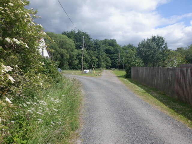
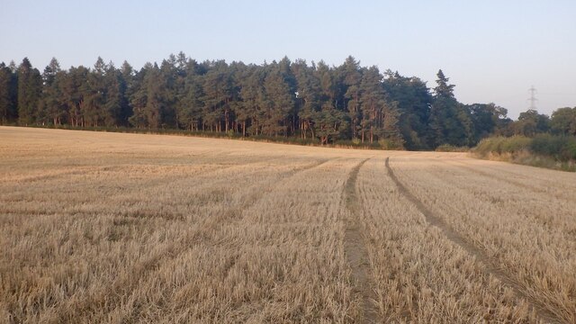
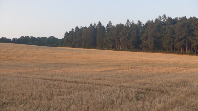
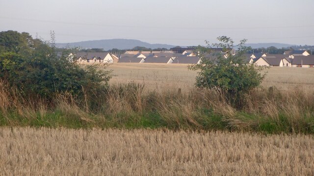
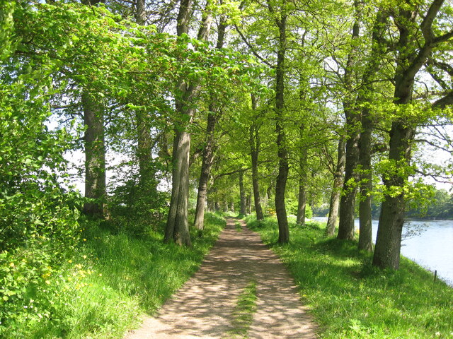
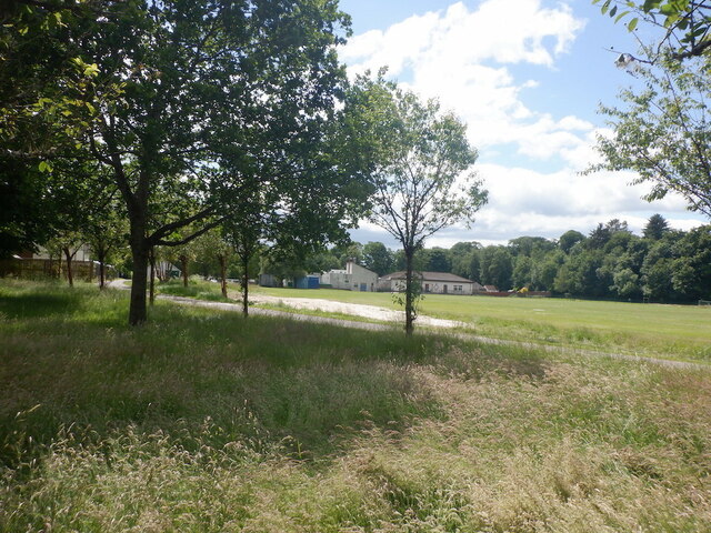
Denmark Green, located in Perthshire, Scotland, is a picturesque wood and forest area that offers visitors a serene and captivating natural experience. Spread over a vast expanse, this enchanting landscape is known for its lush greenery, towering trees, and diverse wildlife.

The forest boasts a rich variety of tree species, including oak, birch, and pine, creating a dense canopy that provides shade and a cool atmosphere even on the hottest days. Walking through Denmark Green, one can appreciate the tranquil ambiance and the soothing sounds of birds chirping and leaves rustling in the gentle breeze.

For nature enthusiasts, Denmark Green is a haven of wildlife. Visitors might catch a glimpse of red deer gracefully roaming the forest or encounter red squirrels darting between trees. The area is also home to a wide range of bird species, including woodpeckers, owls, and wood pigeons. Exploring the forest, one might stumble upon a tranquil pond or a babbling brook, adding to the area's natural beauty.

An extensive network of footpaths and trails wind through Denmark Green, allowing visitors to immerse themselves in this idyllic setting. Whether one prefers a leisurely stroll, a challenging hike, or a peaceful picnic, there is something for everyone to enjoy in this woodland paradise.

Denmark Green, with its breathtaking scenery and abundant wildlife, offers a refreshing escape from the hustle and bustle of everyday life. It is a place where one can reconnect with nature, recharge their senses, and appreciate the wonders of the natural world.

If you have any feedback on the listing, please let us know in the comments section below.

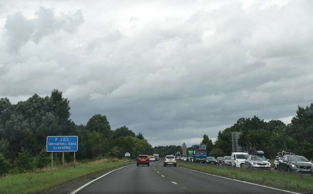
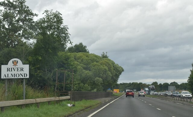
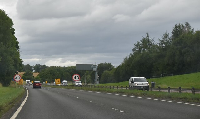
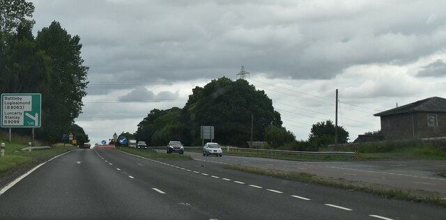
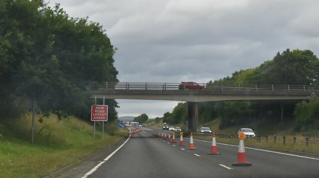
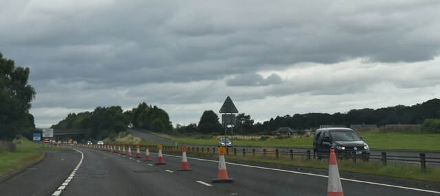
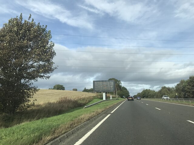
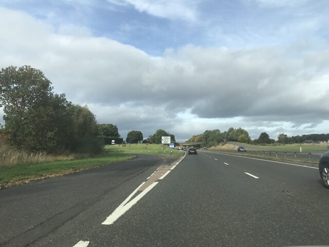
Denmark Green Images

Images are sourced within 2km of 56.437141/-3.4668483 or Grid Reference NO0928. Thanks to Geograph Open Source API. All images are credited.

The Crescent, Luncarty
Gib Place, Bertha Park Bertha Park is a large residential housing development on the northwest of Perth.
Gib Place, Bertha Park
Bertha Park is a large residential housing development on the northwest of Perth.
Gib Place, Bertha Park Bertha Park is a large residential housing development on the northwest of Perth.
Gib Place, Bertha Park
Bertha Park is a large residential housing development on the northwest of Perth.
Stubble, Bertha Park Will there be another harvest here? The house builders are close by.
Stubble, Bertha Park
Will there be another harvest here? The house builders are close by.
Stubble, Bertha Park Looking across barley stubble in a field that is almost certainly going to be built upon
Stubble, Bertha Park
Looking across barley stubble in a field that is almost certainly going to be built upon
Stubble and boundary, Bertha Park Looking towards some of the new houses with more to come on these fields.
Stubble and boundary, Bertha Park
Looking towards some of the new houses with more to come on these fields.
A9, northbound The A9 is a strategic link between the Highlands of Scotland and the Central Belt. It runs 279 miles from junction 5 of the M9 at Polmont to Scrabster. Originally it ran from Edinburgh.
<span class="nowrap"><a title="https://www.sabre-roads.org.uk/wiki/index.php?title=A9" rel="nofollow ugc noopener" href="https://www.sabre-roads.org.uk/wiki/index.php?title=A9">Link</a><img style="margin-left:2px;" alt="External link" title="External link - shift click to open in new window" src="https://s1.geograph.org.uk/img/external.png" width="10" height="10"/></span>
A9, northbound
The A9 is a strategic link between the Highlands of Scotland and the Central Belt. It runs 279 miles from junction 5 of the M9 at Polmont to Scrabster. Originally it ran from Edinburgh. LinkExternal link
A9 crossing River Almond The A9 is a strategic link between the Highlands of Scotland and the Central Belt. It runs 279 miles from junction 5 of the M9 at Polmont to Scrabster. Originally it ran from Edinburgh.
<span class="nowrap"><a title="https://www.sabre-roads.org.uk/wiki/index.php?title=A9" rel="nofollow ugc noopener" href="https://www.sabre-roads.org.uk/wiki/index.php?title=A9">Link</a><img style="margin-left:2px;" alt="External link" title="External link - shift click to open in new window" src="https://s1.geograph.org.uk/img/external.png" width="10" height="10"/></span>
A9 crossing River Almond
The A9 is a strategic link between the Highlands of Scotland and the Central Belt. It runs 279 miles from junction 5 of the M9 at Polmont to Scrabster. Originally it ran from Edinburgh. LinkExternal link
Roadworks, A9 The A9 is a strategic link between the Highlands of Scotland and the Central Belt. It runs 279 miles from junction 5 of the M9 at Polmont to Scrabster. Originally it ran from Edinburgh.
<span class="nowrap"><a title="https://www.sabre-roads.org.uk/wiki/index.php?title=A9" rel="nofollow ugc noopener" href="https://www.sabre-roads.org.uk/wiki/index.php?title=A9">Link</a><img style="margin-left:2px;" alt="External link" title="External link - shift click to open in new window" src="https://s1.geograph.org.uk/img/external.png" width="10" height="10"/></span>
Roadworks, A9
The A9 is a strategic link between the Highlands of Scotland and the Central Belt. It runs 279 miles from junction 5 of the M9 at Polmont to Scrabster. Originally it ran from Edinburgh. LinkExternal link
A9, northbound The A9 is a strategic link between the Highlands of Scotland and the Central Belt. It runs 279 miles from junction 5 of the M9 at Polmont to Scrabster. Originally it ran from Edinburgh.
<span class="nowrap"><a title="https://www.sabre-roads.org.uk/wiki/index.php?title=A9" rel="nofollow ugc noopener" href="https://www.sabre-roads.org.uk/wiki/index.php?title=A9">Link</a><img style="margin-left:2px;" alt="External link" title="External link - shift click to open in new window" src="https://s1.geograph.org.uk/img/external.png" width="10" height="10"/></span>
A9, northbound
The A9 is a strategic link between the Highlands of Scotland and the Central Belt. It runs 279 miles from junction 5 of the M9 at Polmont to Scrabster. Originally it ran from Edinburgh. LinkExternal link
A9, northbound at Luncarty The A9 is a strategic link between the Highlands of Scotland and the Central Belt. It runs 279 miles from junction 5 of the M9 at Polmont to Scrabster. Originally it ran from Edinburgh.
<span class="nowrap"><a title="https://www.sabre-roads.org.uk/wiki/index.php?title=A9" rel="nofollow ugc noopener" href="https://www.sabre-roads.org.uk/wiki/index.php?title=A9">Link</a><img style="margin-left:2px;" alt="External link" title="External link - shift click to open in new window" src="https://s1.geograph.org.uk/img/external.png" width="10" height="10"/></span>
A9, northbound at Luncarty
The A9 is a strategic link between the Highlands of Scotland and the Central Belt. It runs 279 miles from junction 5 of the M9 at Polmont to Scrabster. Originally it ran from Edinburgh. LinkExternal link
A9, northbound The A9 is a strategic link between the Highlands of Scotland and the Central Belt. It runs 279 miles from junction 5 of the M9 at Polmont to Scrabster. Originally it ran from Edinburgh.
<span class="nowrap"><a title="https://www.sabre-roads.org.uk/wiki/index.php?title=A9" rel="nofollow ugc noopener" href="https://www.sabre-roads.org.uk/wiki/index.php?title=A9">Link</a><img style="margin-left:2px;" alt="External link" title="External link - shift click to open in new window" src="https://s1.geograph.org.uk/img/external.png" width="10" height="10"/></span>
A9, northbound
The A9 is a strategic link between the Highlands of Scotland and the Central Belt. It runs 279 miles from junction 5 of the M9 at Polmont to Scrabster. Originally it ran from Edinburgh. LinkExternal link
Matrix board - A9 northbound
Junction - A9 northbound
River Tay path .
This riverside pathway extends from Luncarty through to the River Almond. It's a delightful walk especially in late spring with a profusion of wild flowers present.
Mature hardwoods line most of the way with Oak. Beech, Cherry and Birch dominating.
River Tay path
. This riverside pathway extends from Luncarty through to the River Almond. It's a delightful walk especially in late spring with a profusion of wild flowers present. Mature hardwoods line most of the way with Oak. Beech, Cherry and Birch dominating.
Langland Park, Luncarty
Show me another place!

Denmark Green is located at Grid Ref: NO0928 (Lat: 56.437141, Lng: -3.4668483)

Unitary Authority: Perth and Kinross

Police Authority: Tayside

What 3 Words

///drainage.power.framework. Near Luncarty, Perth & Kinross

Nearby Locations

Denmark Green King's Stone

Related Wikis

Redgorton

Redgorton is a settlement in Gowrie, Perth and Kinross, Scotland. It lies a few miles from the River Tay and the A9 road, across the latter from Luncarty...

Cramock Burn

Cramock Burn is an historic 2.7 mi (4.3 km)-long watercourse in Scone, Perth and Kinross, Scotland. It is a tributary of the River Tay, which it joins...

Luncarty railway station

Luncarty railway station served the village of Luncarty, Perth and Kinross, Scotland, from 1848 to 1951 on the Scottish Midland Junction Railway. ��2...

Bertha (Perth)

Bertha is the name of the site of a Roman fort north of the site of modern Perth, Scotland, at the confluence of the rivers Almond and Tay. It is 0.5 miles...
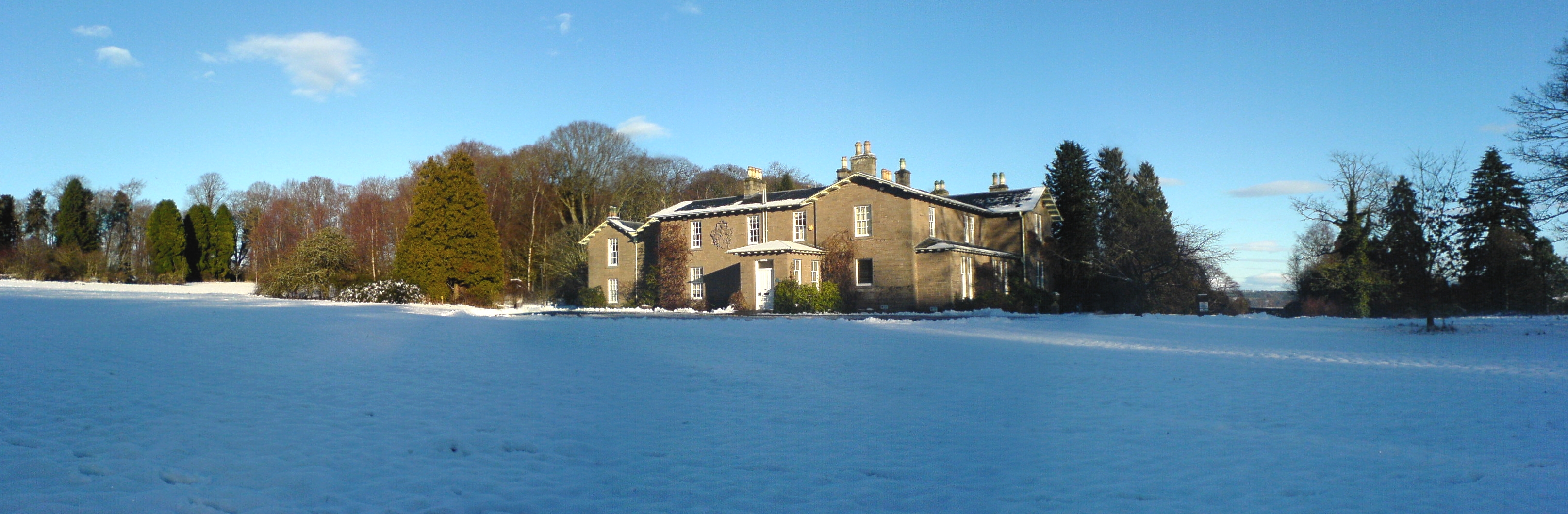
Battleby

Battleby is a country house in Perth and Kinross, Scotland. It is in the parish of Redgorton, 1 kilometre (0.62 mi) west of Luncarty and 6 kilometres...

River Almond, Perth and Kinross

The River Almond (Scottish Gaelic: Uisge Amain) is a tributary of the River Tay in Perth and Kinross, Scotland. It rises in the hills to the south-east...

Luncarty

Luncarty (; pronounced Lung-cur-tay [ˈlʌŋkəɾte]) is a village in Perth and Kinross, Scotland, approximately 4 miles (6 kilometres) north of Perth. It lies...
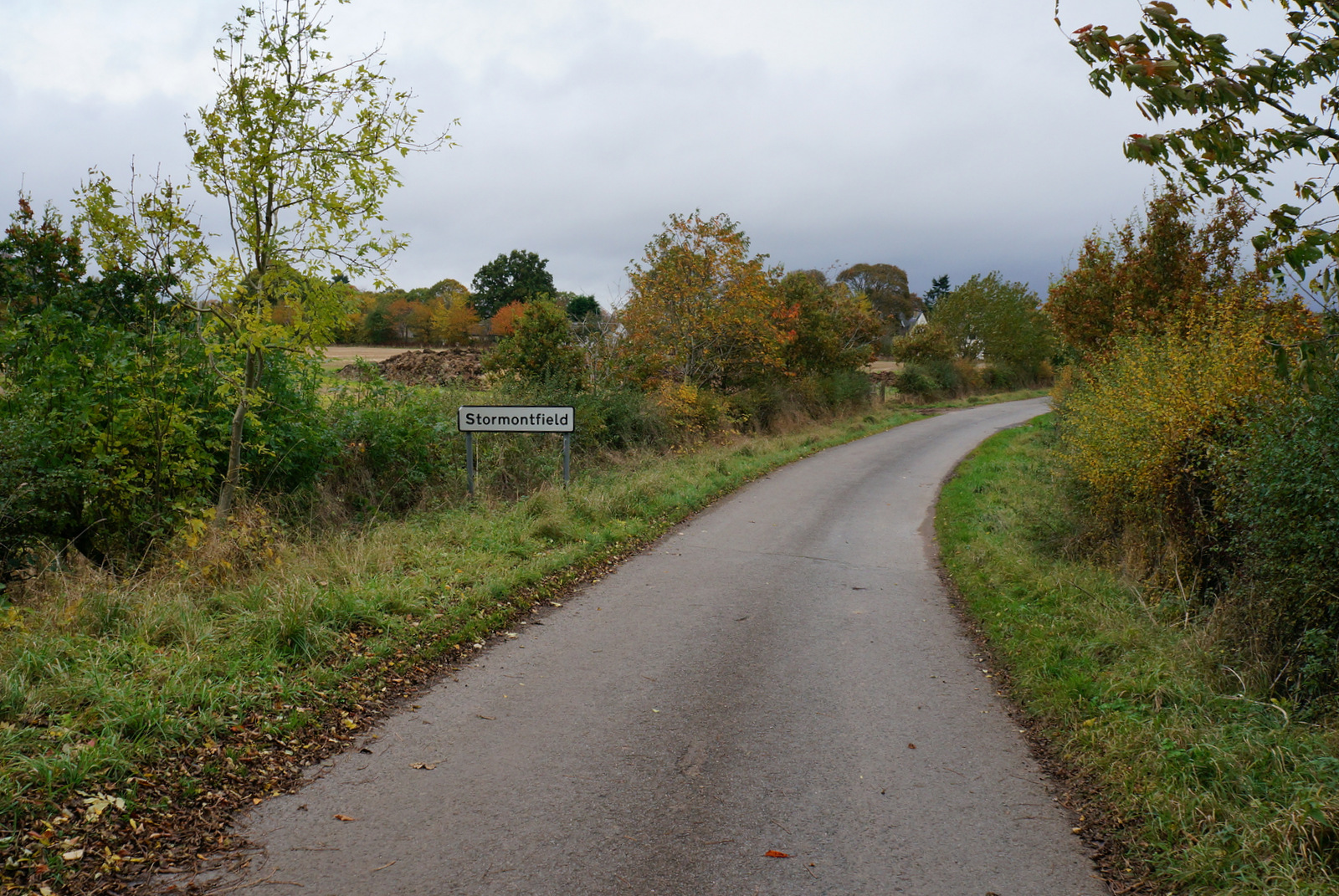
Stormontfield

Stormontfield is a village in Perth and Kinross, Scotland, about 4 miles (6 kilometres) north of Perth. It is located on the eastern banks of the River...

Nearby Amenities

Located within 500m of 56.437141,-3.4668483
Power: tower
Source: Bing
Lat/Long: 56.4411498/-3.4646679
Power: tower
Source: Bing
Lat/Long: 56.4400141/-3.4712023
King´s Stone
Archaeological Site: megalith
Historic: archaeological_site
Megalith Type: menhir
Lat/Long: 56.4380477/-3.4658578
Location Transition: yes
Material: wood
Power: pole
Lat/Long: 56.4401487/-3.4728622
Power: pole
Lat/Long: 56.4337628/-3.471053
Power: pole
Lat/Long: 56.4346331/-3.4711161
Power: pole
Lat/Long: 56.435465/-3.4711729
Power: pole
Lat/Long: 56.4362778/-3.4712171
Power: pole
Lat/Long: 56.4367722/-3.4712328
Power: pole
Lat/Long: 56.4376346/-3.4710656
Power: pole
Lat/Long: 56.4385205/-3.4708764
Location Transition: yes
Power: pole
Lat/Long: 56.4402783/-3.4716997
Power: pole
Lat/Long: 56.4402565/-3.4713385
Power: pole
Switch: yes
Lat/Long: 56.4394012/-3.4706871
Power: pole
Lat/Long: 56.4402063/-3.4705185
Power: pole
Switch: yes
Lat/Long: 56.4411942/-3.4703148
The data included in this document is from www.openstreetmap.org. The data is made available under ODbL.

Have you been to Denmark Green?

Leave your review of Denmark Green below (or comments, questions and feedback).