Seefar Wood
Wood, Forest in Perthshire
Scotland
Seefar Wood

Seefar Wood is a picturesque woodland located in the heart of Perthshire, Scotland. Covering an area of approximately 500 acres, this enchanting forest is nestled amidst the stunning landscape of the Scottish Highlands.
Seefar Wood is renowned for its diverse range of tree species, including ancient oaks, birch, and pine trees, which contribute to its rich biodiversity. The forest floor is adorned with a vibrant carpet of ferns, wildflowers, and mosses, creating a lush and serene environment.
The wood is crisscrossed by a network of well-maintained paths and trails, making it a popular destination for hikers, nature enthusiasts, and birdwatchers. The tranquil atmosphere and breathtaking scenery make it an ideal location for those seeking a peaceful retreat or a relaxing stroll in nature.
One of the highlights of Seefar Wood is its abundant wildlife. Visitors may catch glimpses of red squirrels, roe deer, and a variety of bird species, including woodpeckers and owls. The forest also provides a habitat for rare and protected species, such as the Scottish wildcat and the capercaillie.
Seefar Wood offers a range of recreational activities, including camping, picnicking, and wildlife photography. It is also a popular spot for nature education programs and guided walks, allowing visitors to learn about the forest's ecology and conservation efforts.
Overall, Seefar Wood is a captivating woodland that showcases the natural beauty and biodiversity of Perthshire. Its tranquil ambiance, diverse flora and fauna, and well-maintained trails make it an ideal destination for nature lovers and outdoor enthusiasts.
If you have any feedback on the listing, please let us know in the comments section below.
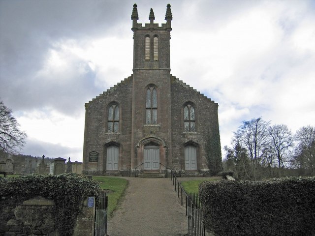
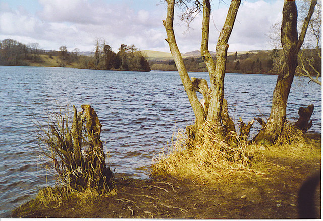
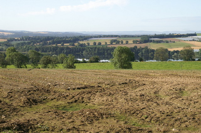
Seefar Wood Images
Images are sourced within 2km of 56.609548/-3.4735269 or Grid Reference NO0947. Thanks to Geograph Open Source API. All images are credited.


Seefar Wood is located at Grid Ref: NO0947 (Lat: 56.609548, Lng: -3.4735269)
Unitary Authority: Perth and Kinross
Police Authority: Tayside
What 3 Words
///establish.brush.attracts. Near Blairgowrie, Perth & Kinross
Nearby Locations
Related Wikis

Achalader
Achalader (Scottish Gaelic: Achadh Chaladair) is a settlement in the council area of Perth and Kinross, Scotland. Achalader is situated 3 miles (5 kilometres...

Loch of Clunie
Loch of Clunie is a small lowland freshwater loch that is located two miles (three kilometres) west of Blairgowrie, Perth and Kinross, Scotland. ��2�...
Clunie
Clunie is a small settlement in Perthshire, Scotland, four miles (six kilometres) west of Blairgowrie. It lies on the western shore of the Loch of Clunie...

Loch Benachally
Loch Benachally is a large shallow freshwater reservoir that is located close to the Forest of Clunie in Perth and Kinross, Scotland.The reservoir is operated...
Craigie (hamlet), Perth and Kinross
Craigie is a village 6 kilometres (3.7 miles) west of Blairgowrie, in Perth and Kinross, Scotland. It is situated on the eastern side of Loch Clunie.Robert...

Loch of Butterstone
Loch of Butterstone is a small freshwater loch, almost circular in shape, located within the nature reserve of the Cardney Estate, near Dunkeld in Perth...

River Ardle
The River Ardle (Scottish Gaelic: Abhainn Àrdail) is a tributary of the River Ericht. It runs for 10 miles (16 km) through Strathardle in Perthshire, Scotland...
Loch of Drumellie
Loch of Drumellie also known as Marlee Loch or Loch of Marlee is a small lowland freshwater loch that is located 2.3 miles west of Blairgowrie, in Perth...
Related Videos
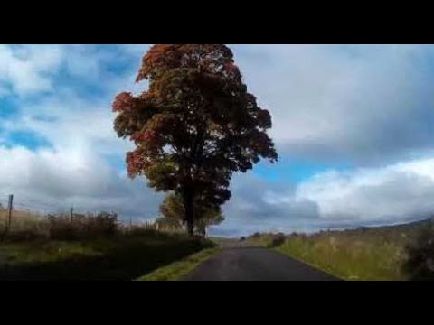
Autumn Sunday Road Trip Drive To Visit Forneth Perthshire Scotland
Tour Scotland Autumn Sunday travel video of a road trip drive, with Scottish bagpipes and drums music, on single track roads to ...

Autumn Road Trip With Music On History Visit To Forneth Perthshire Scotland
Tour Scotland 4K Autumn travel video, with Scottish music, of a road trip drive on a narrow bumpy route to Forneth, a tiny village in ...
Nearby Amenities
Located within 500m of 56.609548,-3.4735269Have you been to Seefar Wood?
Leave your review of Seefar Wood below (or comments, questions and feedback).