King's Standing
Heritage Site in Staffordshire
England
King's Standing
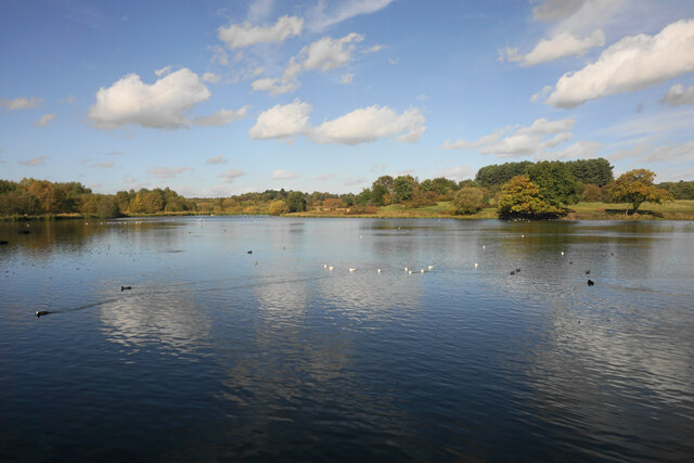
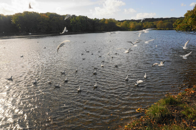
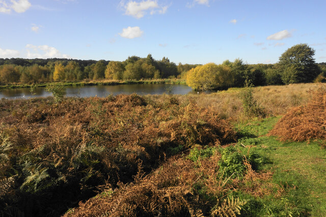
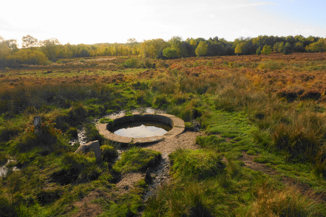
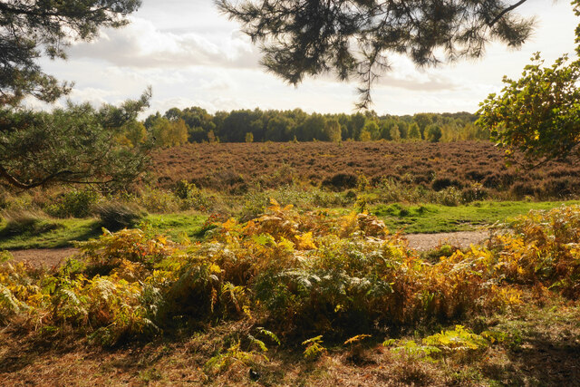
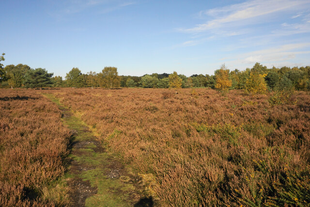
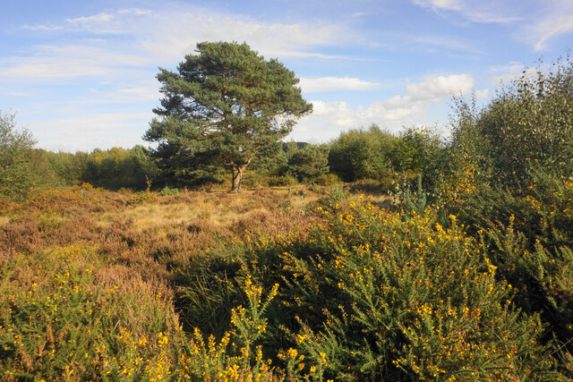
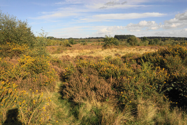
King's Standing is an ancient monument and heritage site located in Staffordshire, England. It is situated within the Cannock Chase Forest, a designated Area of Outstanding Natural Beauty. The site is known for its historical significance and remarkable archaeological remains.
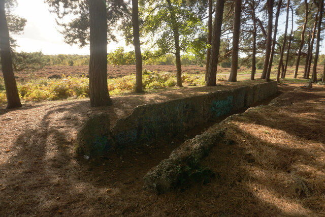
Dating back to the late Neolithic period, King's Standing is believed to be the remains of a burial mound or barrow, which was later re-used as a standing stone circle during the Bronze Age. The monument consists of four remaining stones, each standing at approximately two meters in height. These stones are made of local sandstone and are thought to have been originally part of a larger circle.
The purpose and significance of King's Standing have long been the subject of speculation and debate among archaeologists and historians. Some theories suggest that it served as a ceremonial site, possibly associated with ancient burial rituals or religious practices. Others propose that it may have had astronomical alignments, as many ancient stone circles were constructed in relation to celestial events.
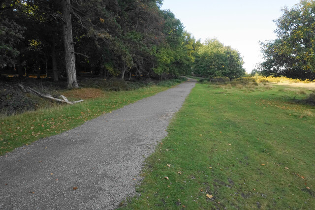
Today, King's Standing is protected as a Scheduled Ancient Monument, ensuring its preservation and safeguarding its historical importance. It attracts visitors interested in the region's rich archaeological heritage and those seeking a tranquil retreat within the picturesque surroundings of Cannock Chase Forest. The site is easily accessible, with designated footpaths leading to and around the monument, providing visitors with an opportunity to explore and appreciate its ancient significance.
If you have any feedback on the listing, please let us know in the comments section below.
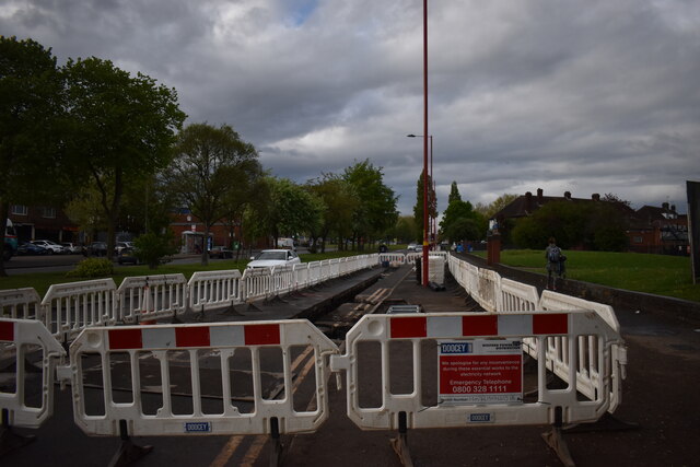
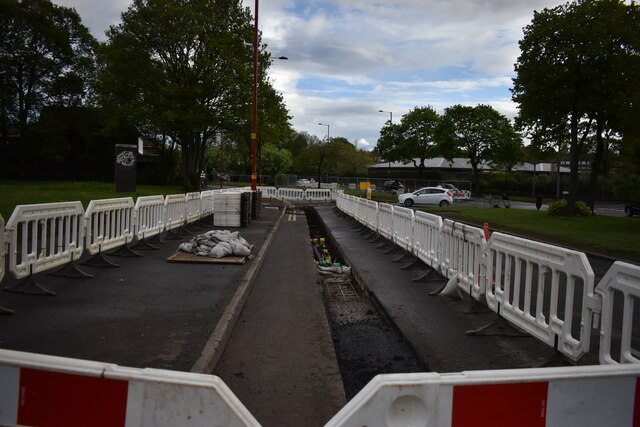
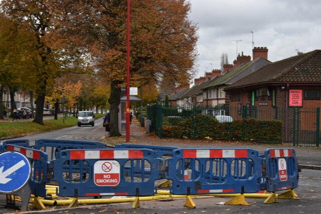
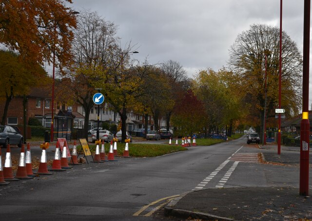
King's Standing Images
Images are sourced within 2km of 52.557/-1.875 or Grid Reference SP0895. Thanks to Geograph Open Source API. All images are credited.
King's Standing is located at Grid Ref: SP0895 (Lat: 52.557, Lng: -1.875)
Unitary Authority: Birmingham
Police Authority: West Midlands
What 3 Words
///like.oddly.wide. Near Streetly, West Midlands
Nearby Locations
Related Wikis
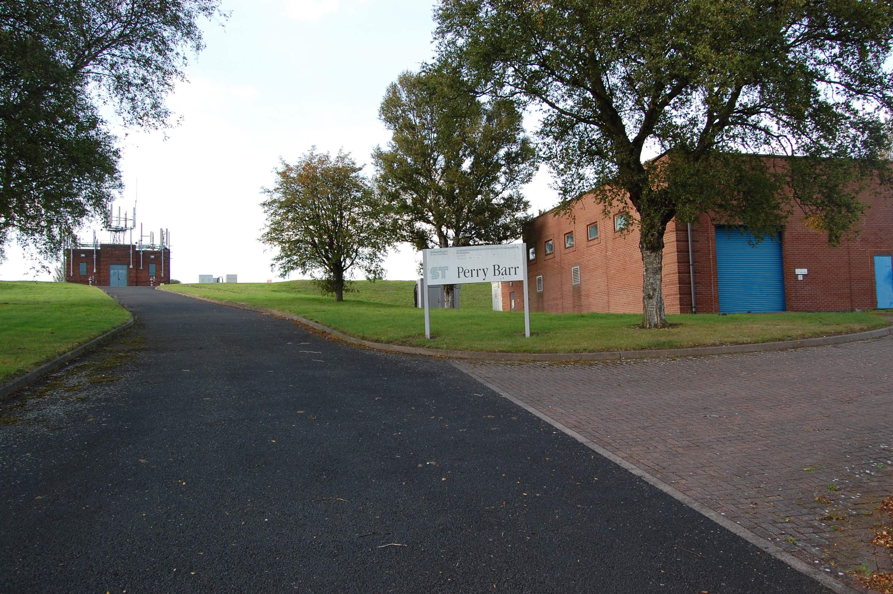
Perry Barr Reservoir
Perry Barr Reservoir is a covered drinking water reservoir, in north Birmingham, England, operated by Severn Trent Water. Built for the then Birmingham...
King's Standing Bowl Barrow
King's Standing Bowl Barrow or Kingstanding Mound, is a scheduled monument in the Kingstanding area of Birmingham. It comprises the buried and earthwork...

Odeon, Kingstanding
The Odeon at Kingstanding, Birmingham, was a 1930s cinema in the Odeon chain. Though closed as a cinema in 1962, the building survives as a bingo hall...
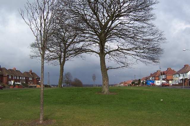
Kingstanding
Kingstanding is an area in north Birmingham, England. It gives its name to a ward in the Erdington council constituency. Kingstanding ward includes the...

Cardinal Wiseman Catholic School, Birmingham
Cardinal Wiseman Catholic School is a non-selective comprehensive state secondary school in Kingstanding; an inner-city suburb of Birmingham, England....

The Streetly Academy
The Streetly Academy (formerly known as The Streetly School) is a large co-educational secondary school in Streetly, West Midlands, England, on the border...

Maryvale Institute
Maryvale Institute is a college of further and higher education, an International Catholic Distance-Learning College for Catechesis, Theology, Philosophy...
Sutton Park, West Midlands
Sutton Park is a large urban park located in Sutton Coldfield, Birmingham, West Midlands, England. Most of the park is a national nature reserve; large...
Nearby Amenities
Located within 500m of 52.557,-1.875Have you been to King's Standing?
Leave your review of King's Standing below (or comments, questions and feedback).