Banners Gate
Settlement in Staffordshire
England
Banners Gate
Banners Gate is a picturesque village located in the county of Staffordshire, England. Situated on the outskirts of Birmingham, it is nestled within the lush green countryside, offering a tranquil and idyllic setting for its residents and visitors.
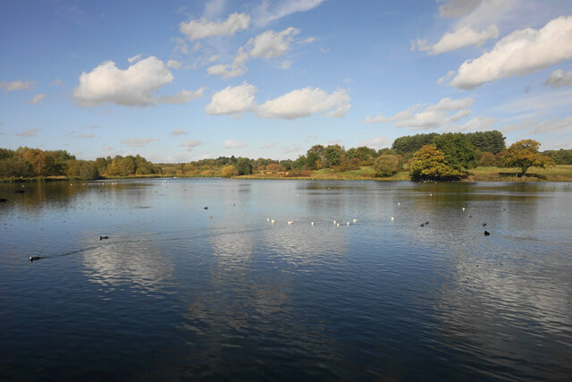
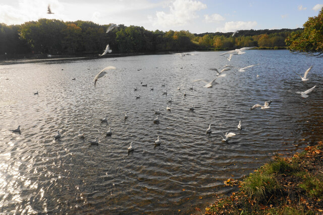
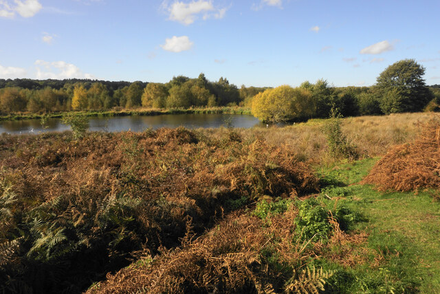
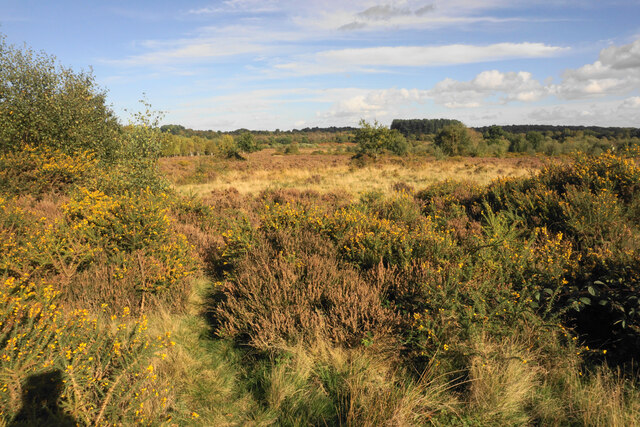
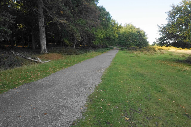
The village is renowned for its historical significance and dates back to the medieval period. It takes its name from the ancient banner that marked the entrance to Sutton Park, a vast and beautiful parkland that is a stone's throw away from Banners Gate. The park offers a plethora of recreational activities, including walking trails, cycling routes, and serene lakes, attracting nature enthusiasts and families alike.
Banners Gate itself exudes charm with its quaint cottages, well-manicured gardens, and traditional English village atmosphere. The local community is close-knit and welcoming, fostering a strong sense of belonging among its residents. The village church, St. Peter's, stands tall and proud, serving as a centerpiece for the community and reflecting the area's rich heritage.
The village is well-served with amenities, including a primary school, local shops, and a charming village pub, where one can indulge in traditional pub fare and enjoy a pint of local ale. Banners Gate also benefits from excellent transportation links, with easy access to major motorways and railway stations nearby.
Overall, Banners Gate offers a serene and picturesque escape from the hustle and bustle of city life, where nature and history seamlessly blend, making it an ideal place to live or visit.
If you have any feedback on the listing, please let us know in the comments section below.
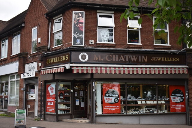
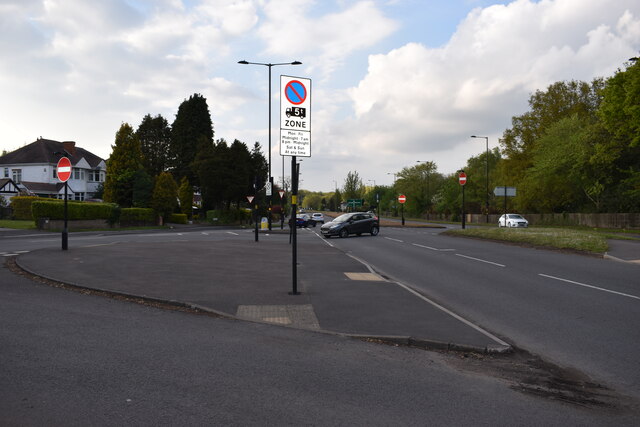
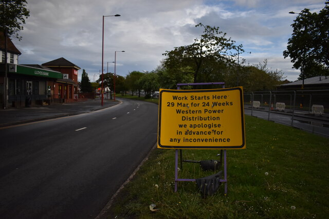
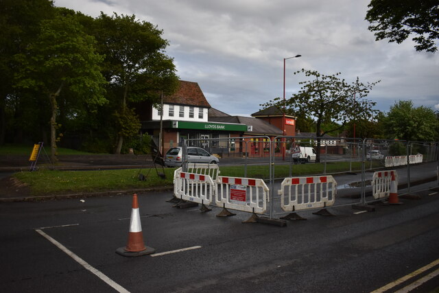
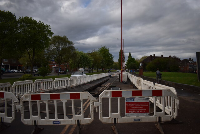
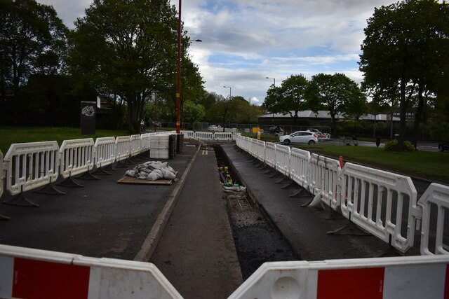
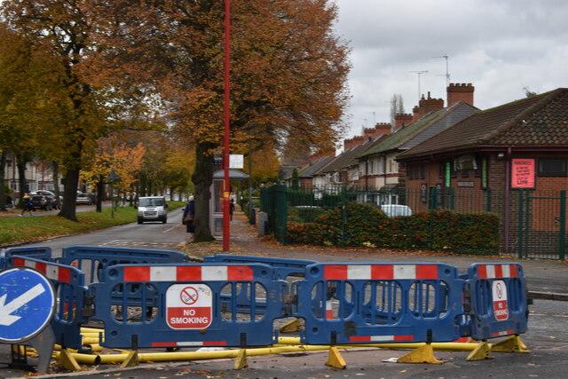
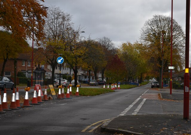
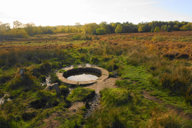
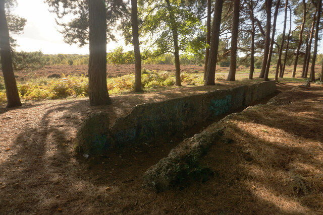
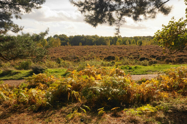
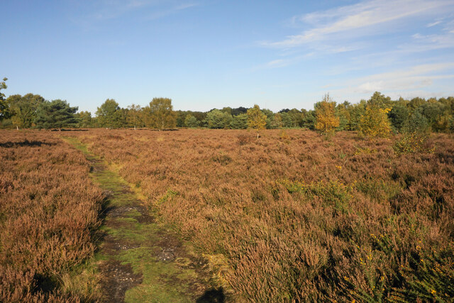
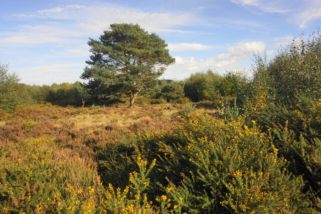
Banners Gate Images
Images are sourced within 2km of 52.559675/-1.877976 or Grid Reference SP0895. Thanks to Geograph Open Source API. All images are credited.
Banners Gate is located at Grid Ref: SP0895 (Lat: 52.559675, Lng: -1.877976)
Unitary Authority: Birmingham
Police Authority: West Midlands
What 3 Words
///record.lance.juror. Near Streetly, West Midlands
Nearby Locations
Related Wikis
King's Standing Bowl Barrow
King's Standing Bowl Barrow or Kingstanding Mound, is a scheduled monument in the Kingstanding area of Birmingham. It comprises the buried and earthwork...
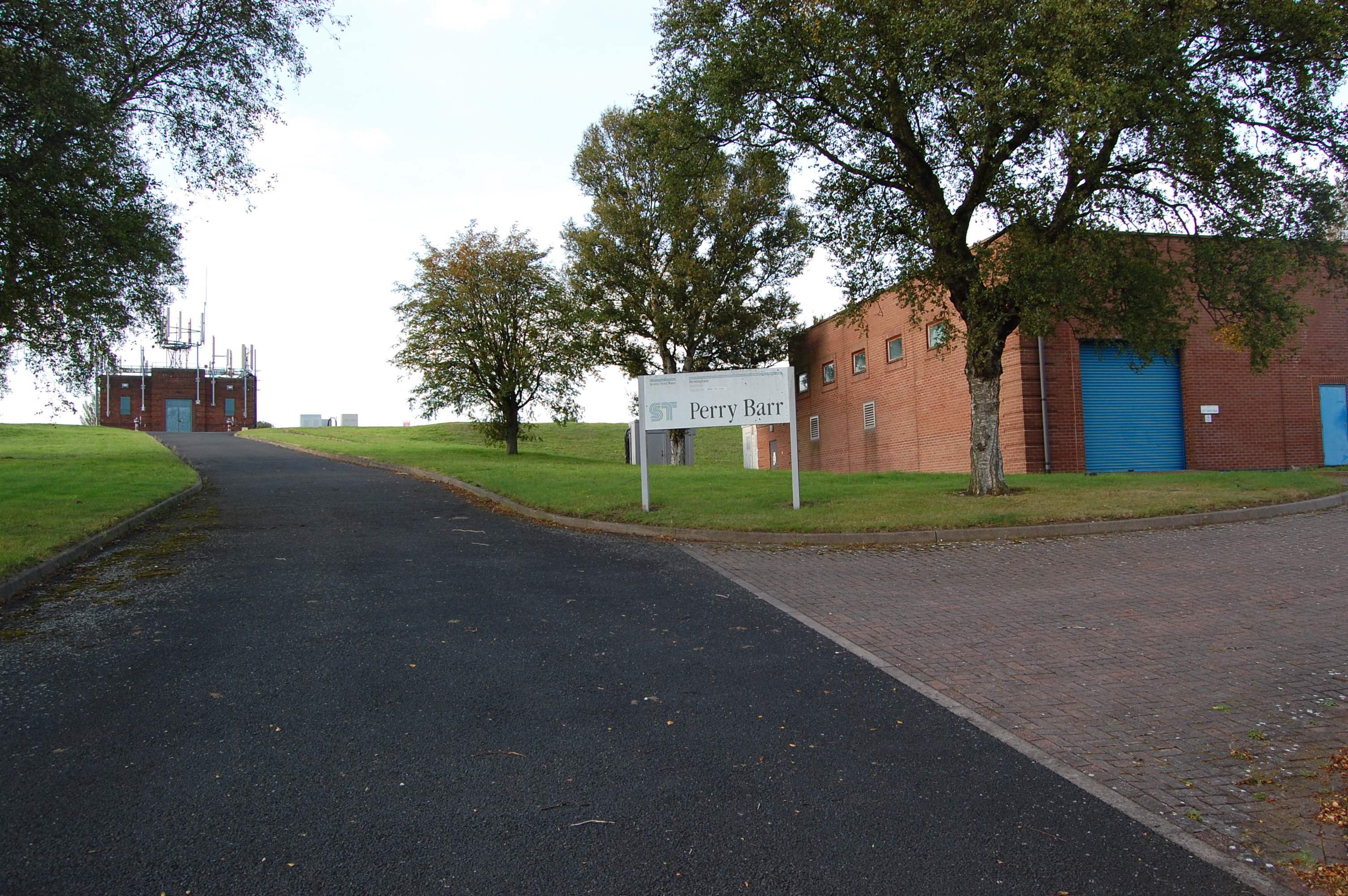
Perry Barr Reservoir
Perry Barr Reservoir is a covered drinking water reservoir, in north Birmingham, England, operated by Severn Trent Water. Built for the then Birmingham...

Odeon, Kingstanding
The Odeon at Kingstanding, Birmingham, was a 1930s cinema in the Odeon chain. Though closed as a cinema in 1962, the building survives as a bingo hall...

The Streetly Academy
The Streetly Academy (formerly known as The Streetly School) is a large co-educational secondary school in Streetly, West Midlands, England, on the border...

Cardinal Wiseman Catholic School, Birmingham
Cardinal Wiseman Catholic School is a non-selective comprehensive state secondary school in Kingstanding; an inner-city suburb of Birmingham, England....
Kingstanding
Kingstanding is an area in north Birmingham, England. It gives its name to a ward in the Erdington council constituency. Kingstanding ward includes the...

Maryvale Institute
Maryvale Institute is a college of further and higher education, an International Catholic Distance-Learning College for Catechesis, Theology, Philosophy...

Pheasey
Pheasey is a residential area of Walsall Metropolitan Borough in the West Midlands of England, often considered to be part of Great Barr. The area was...
Nearby Amenities
Located within 500m of 52.559675,-1.877976Have you been to Banners Gate?
Leave your review of Banners Gate below (or comments, questions and feedback).