Banningham

Settlement in Norfolk North Norfolk

England

Banningham

Church of St Giles, Colby <span class="nowrap"><a title="https://historicengland.org.uk/listing/the-list/list-entry/1373434?section=official-list-entry" rel="nofollow ugc noopener" href="https://historicengland.org.uk/listing/the-list/list-entry/1373434?section=official-list-entry">Link</a><img style="margin-left:2px;" alt="External link" title="External link - shift click to open in new window" src="https://s1.geograph.org.uk/img/external.png" width="10" height="10"/></span>
Church of St Giles, Colby Credit: Sandy Gerrard

Banningham is a small village located in the county of Norfolk, England. Situated approximately 15 miles north of Norwich, the village is nestled amidst the picturesque countryside of East Anglia. Banningham has a population of around 250 residents, offering a close-knit and peaceful community atmosphere.

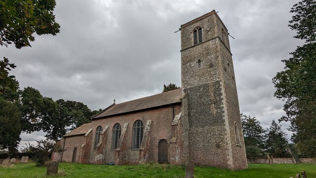
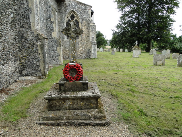
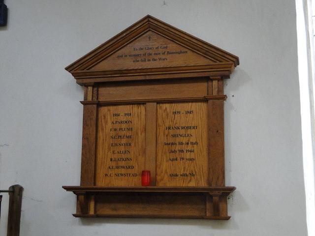
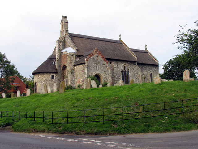
The village dates back to medieval times and is known for its rich history. It features several well-preserved buildings from different eras, including the Grade II listed St. Botolph's Church, which dates back to the 14th century. The church's architecture showcases stunning examples of Gothic and Georgian styles.

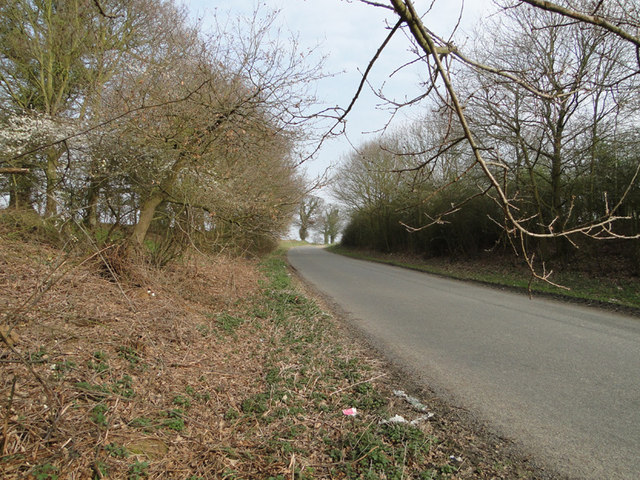
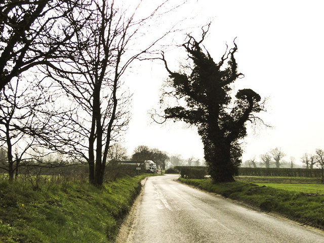
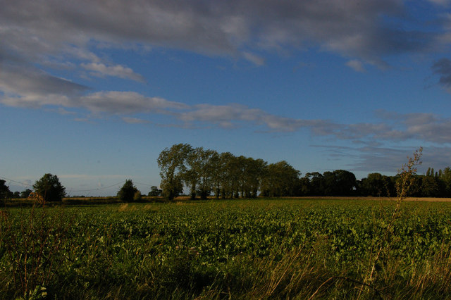
Surrounded by beautiful landscapes, Banningham is a haven for nature enthusiasts. The village is situated near the renowned Bure Valley, which offers delightful walks and cycling routes through scenic countryside and alongside the picturesque Bure River. The area is also home to an abundance of wildlife, making it a popular spot for birdwatching and nature photography.

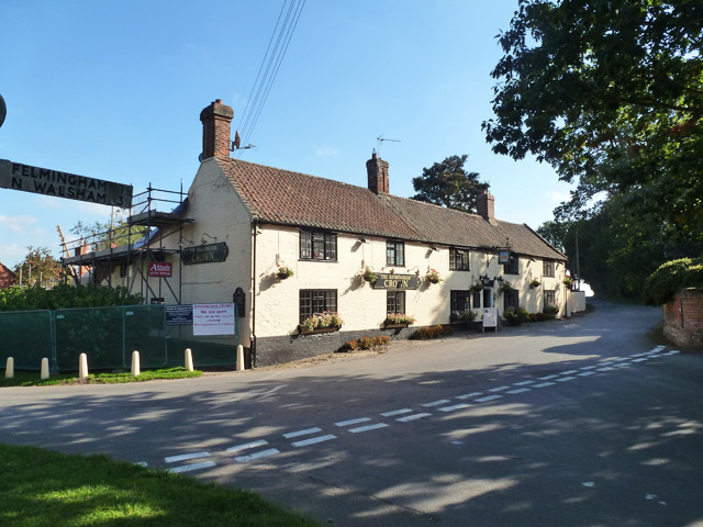
Despite its small size, Banningham offers essential amenities to its residents. These include a village hall, a primary school, and a local pub, providing a sense of community and meeting places for villagers. For more extensive shopping and recreational options, the nearby market town of Aylsham is easily accessible.

Banningham, Norfolk, is a charming village that captures the essence of rural England, with its historical buildings, stunning landscapes, and a close-knit community spirit. It offers a tranquil retreat from the hustle and bustle of larger towns and cities, making it an ideal place for those seeking a peaceful and idyllic countryside lifestyle.

If you have any feedback on the listing, please let us know in the comments section below.
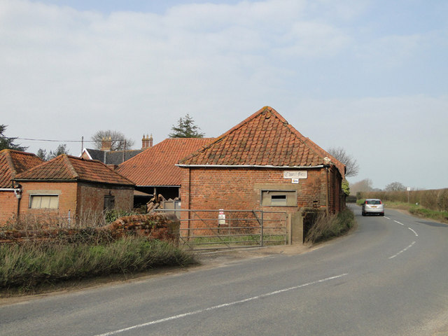
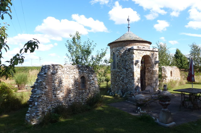
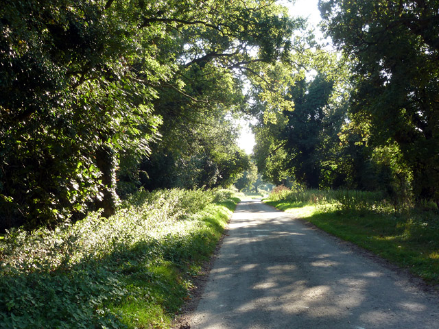
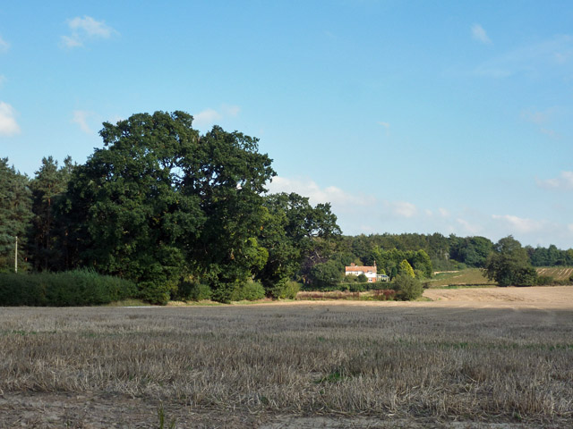
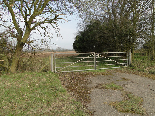
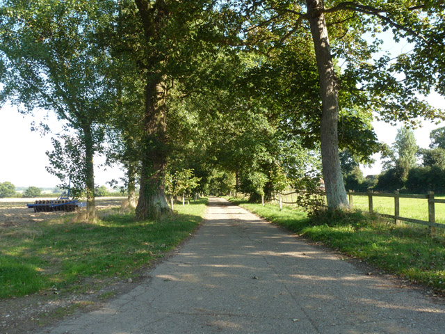
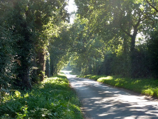
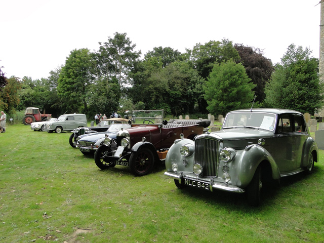
Banningham Images

Images are sourced within 2km of 52.81878/1.287277 or Grid Reference TG2129. Thanks to Geograph Open Source API. All images are credited.

Church of St Giles, Colby <span class="nowrap"><a title="https://historicengland.org.uk/listing/the-list/list-entry/1373434?section=official-list-entry" rel="nofollow ugc noopener" href="https://historicengland.org.uk/listing/the-list/list-entry/1373434?section=official-list-entry">Link</a><img style="margin-left:2px;" alt="External link" title="External link - shift click to open in new window" src="https://s1.geograph.org.uk/img/external.png" width="10" height="10"/></span>
Church of St Giles, Colby
Road to Banningham just off the A140
A140 junction from the B1145 north Walsham Road
Farm building at Church Farm, Banningham
Church Farm, Banningham
Felmingham Chapel folly A small chapel built around 2009 of flint. It is flanked by two ruined walls and the inside features cast heads and medieval style paintings.
Felmingham Chapel folly
A small chapel built around 2009 of flint. It is flanked by two ruined walls and the inside features cast heads and medieval style paintings.
Drabblegate The name of the lane heading towards a small settlement also called Drabblegate.
Drabblegate
The name of the lane heading towards a small settlement also called Drabblegate.
View towards The Cottage Looking from Drabblegate towards a cottage on Banningham Road with Aylsham Wood beyond.
View towards The Cottage
Looking from Drabblegate towards a cottage on Banningham Road with Aylsham Wood beyond.
The Banningham Crown Across the road from the church, the perfect antidote for dry sermons.
The Banningham Crown
Across the road from the church, the perfect antidote for dry sermons.
View north across the fields towards Banningham
Banningham war memorial in the churchyard The memorial has lost half the names through flaking of the stone and erosion. The names have been badly transcribed to a wooden memorial in the church but there are some differences. the corrected names are: Ernest ALLEN, Rees James ATKINS, Alfred Ernest HOWARD, George NEWSTEAD, Herbert PARDEN, Frederick  William PLUME, Sidney Charles PLUME and E. Daisley SAYER.
Banningham war memorial in the churchyard
The memorial has lost half the names through flaking of the stone and erosion. The names have been badly transcribed to a wooden memorial in the church but there are some differences. the corrected names are: Ernest ALLEN, Rees James ATKINS, Alfred Ernest HOWARD, George NEWSTEAD, Herbert PARDEN, Frederick William PLUME, Sidney Charles PLUME and E. Daisley SAYER.
Banningham in-church War memorial The names have been incorrectly transcribed from the stone cross in the churchyard which is badly eroded.
The corrected names can be seen here > <a title="https://www.geograph.org.uk/photo/4600950" href="https://www.geograph.org.uk/photo/4600950">Link</a>
Banningham in-church War memorial
The names have been incorrectly transcribed from the stone cross in the churchyard which is badly eroded. The corrected names can be seen here > Link
Discarded plastic bag and orange peel on the A140 Suffolk is running an anti-litter campaign called 'Don't be a Tosser' but one has been here in Norfolk.
Discarded plastic bag and orange peel on the A140
Suffolk is running an anti-litter campaign called 'Don't be a Tosser' but one has been here in Norfolk.
Metal field gate alongside the A140 near Banningham
Drive to Manor Farm A turning off Church Road.
Drive to Manor Farm
A turning off Church Road.
Church Road, Colby A continuation of Long Lane.
Church Road, Colby
A continuation of Long Lane.
Some vintage cars at Colby church open day Nearest is a 1953 Bentley 'R'type Next is a 1925 Bullnose Morris. Further down the line is a 1947 1250cc MG seen here > <a title="https://www.geograph.org.uk/photo/4600139" href="https://www.geograph.org.uk/photo/4600139">Link</a>
Some vintage cars at Colby church open day
Nearest is a 1953 Bentley 'R'type Next is a 1925 Bullnose Morris. Further down the line is a 1947 1250cc MG seen here > Link
1947 1250 cc MG At Colby church open day
1947 1250 cc MG
At Colby church open day
Show me another place!

Banningham is located at Grid Ref: TG2129 (Lat: 52.81878, Lng: 1.287277)

Administrative County: Norfolk

District: North Norfolk

Police Authority: Norfolk

What 3 Words

///drizzly.parading.snapped. Near Aylsham, Norfolk

Nearby Locations

Banningham

Related Wikis

Banningham

Banningham is a village and former civil parish, now in the parish of Colby, in the North Norfolk district, in the English county of Norfolk. The village...

Colby, Norfolk

Colby is a village and a civil parish in the English county of Norfolk. The village is 8.6 miles (13.8 km) south of Cromer, 16.8 miles (27.0 km) north...

Ingworth

Ingworth is a village and a civil parish in the English county of Norfolk. It is 1.7 miles (2.7 km) north of Aylsham, 14.3 miles (23.0 km) north of Norwich...

Aylsham North railway station

Aylsham North railway station (originally Aylsham Town and later known as Aylsham) was a station in Aylsham, Norfolk, on the Midland and Great Northern...

Nearby Amenities

Located within 500m of 52.81878,1.287277
Crown, opp
Naptan AtcoCode: 2900C2110
Naptan Bearing: E
Naptan BusStopType: CUS
Naptan CommonName: Crown
Naptan Indicator: opp
Naptan Landmark: public house
Naptan Locality: Banningham
Naptan NaptanCode: nfoajmpg
Naptan ShortCommonName: Crown
Naptan Street: Colby Road
Naptan Verified: no
Source: naptan_import
Lat/Long: 52.8173576/1.286924
Crown, adj
Naptan AtcoCode: 2900C212
Naptan Bearing: N
Naptan BusStopType: CUS
Naptan CommonName: Crown
Naptan Indicator: adj
Naptan Landmark: Crown public house
Naptan Locality: Banningham
Naptan NaptanCode: nfoajmta
Naptan ShortCommonName: Crown
Naptan Street: Colby Road
Naptan Verified: no
Source: naptan_import
Lat/Long: 52.8169427/1.2869669
Banningham
Place: village
Wikidata: Q4856986
Lat/Long: 52.8174107/1.2875931
Post Box
Operator: Royal Mail
Post Box Type: wall
Lat/Long: 52.8170822/1.2870344
Give Way
Lat/Long: 52.8173686/1.286623
Give Way
Lat/Long: 52.8174273/1.2861996
Entrance: yes
Lat/Long: 52.8170233/1.2864055
Entrance: yes
Lat/Long: 52.8170382/1.286579
Entrance: main
Lat/Long: 52.8168935/1.2864606
Entrance: yes
Lat/Long: 52.8168691/1.286785
Historic: memorial
Memorial: war_memorial
Lat/Long: 52.816925/1.2869038
Give Way
Lat/Long: 52.8171676/1.287072
The data included in this document is from www.openstreetmap.org. The data is made available under ODbL.

Have you been to Banningham?

Leave your review of Banningham below (or comments, questions and feedback).