Bannister Green

Settlement in Essex Uttlesford

England

Bannister Green

Field near Leez Priory
Field near Leez Priory Credit: JThomas

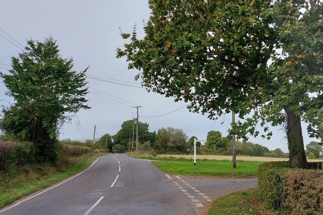
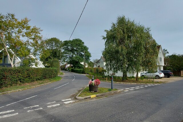
Bannister Green is a small village located in the county of Essex, England. Situated approximately 4 miles northwest of the town of Chelmsford, it is part of the Chelmsford district and falls within the civil parish of Margaretting. The village is surrounded by picturesque countryside, providing residents with a tranquil and peaceful environment.

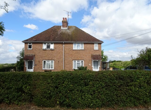
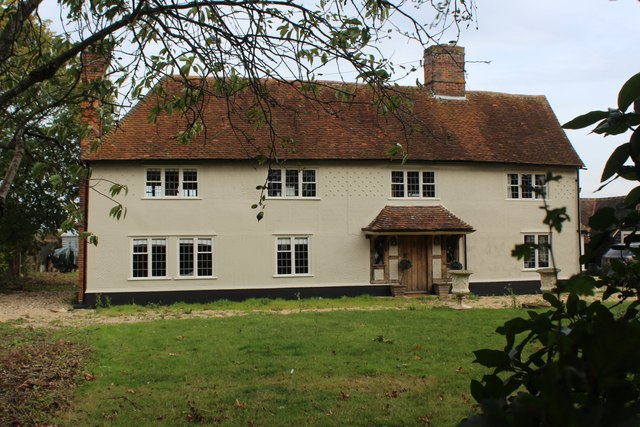
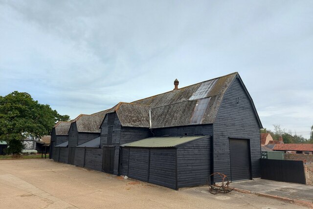
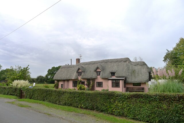
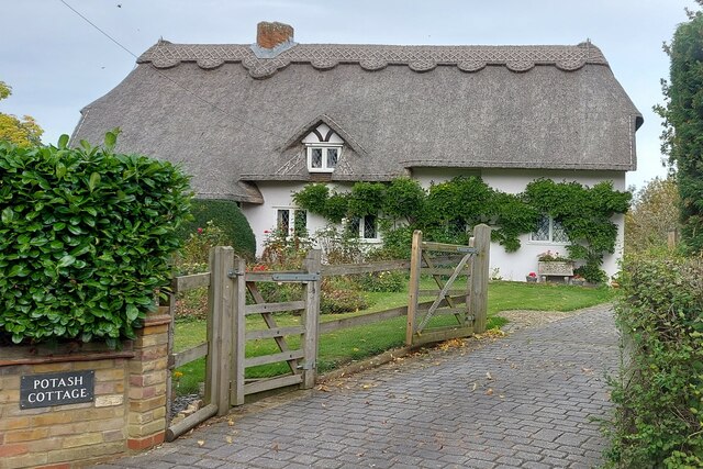
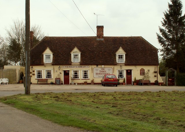
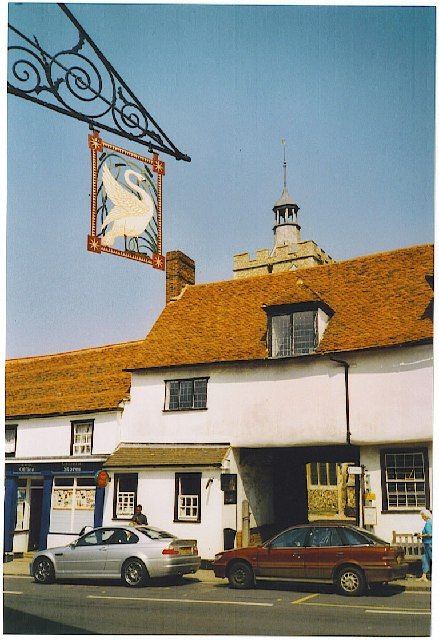
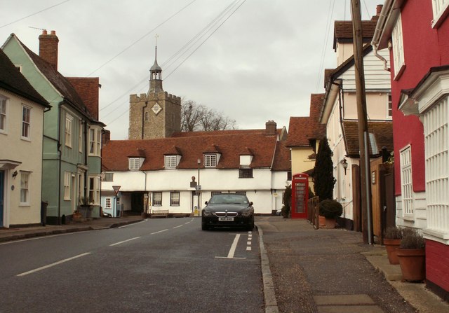
Bannister Green is a rural community with a small population, giving it a close-knit and friendly atmosphere. The village is characterized by its charming thatched cottages, which add to its traditional English village feel. The architecture in the area is predominantly in the English vernacular style, with a mix of old and new buildings.

Although small in size, Bannister Green benefits from its proximity to Chelmsford, which offers a wide range of amenities including shops, restaurants, and leisure facilities. The village also has good transport links, with easy access to major roads such as the A12 and A414, making it convenient for commuters.

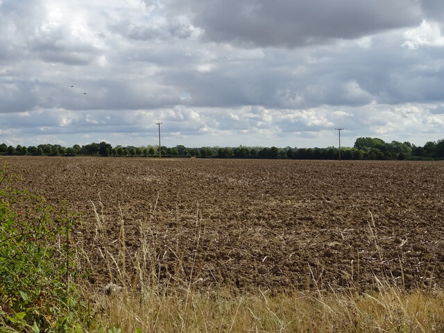
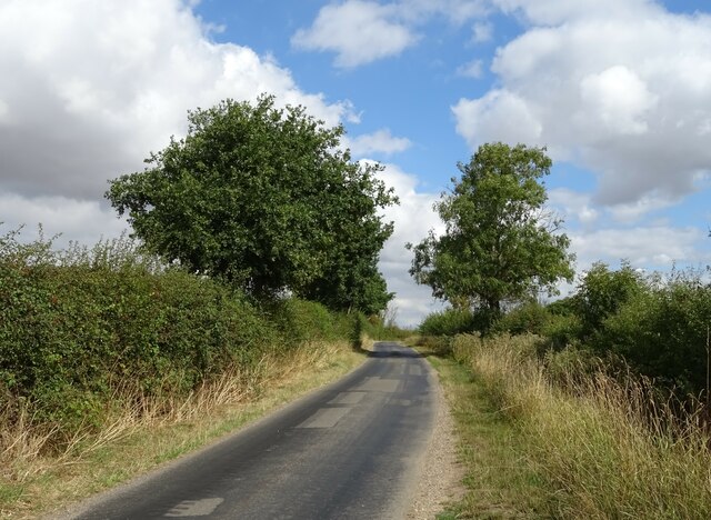
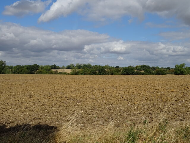
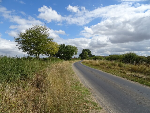
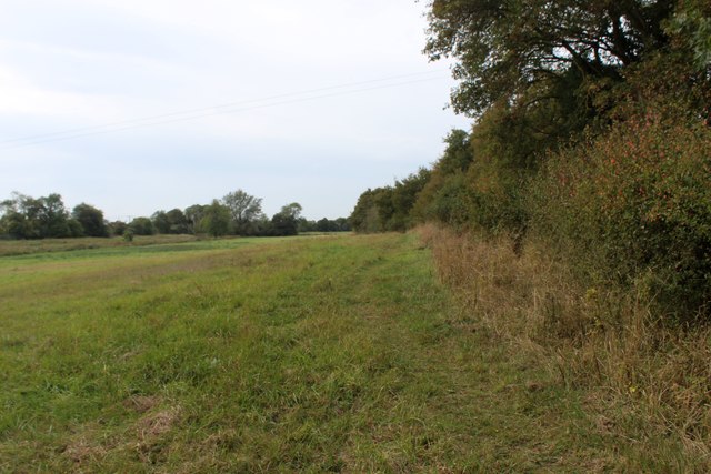
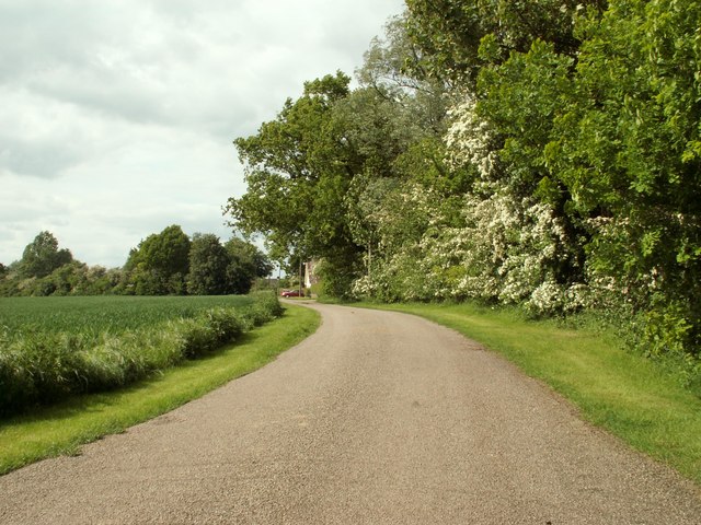
The surrounding countryside provides ample opportunities for outdoor activities. Residents can enjoy leisurely walks, cycling, or horse riding along the numerous footpaths and bridleways that crisscross the area. Bannister Green is also close to the River Chelmer, which is popular for boating and fishing.

Overall, Bannister Green offers a peaceful and idyllic setting for those seeking a quieter lifestyle while still being within easy reach of larger towns and cities. Its charming character and countryside location make it an attractive place to live for those who appreciate the beauty of rural England.

If you have any feedback on the listing, please let us know in the comments section below.

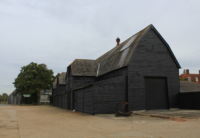
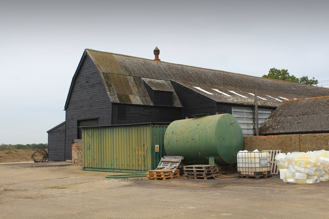
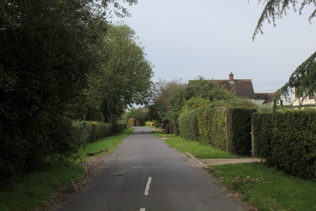
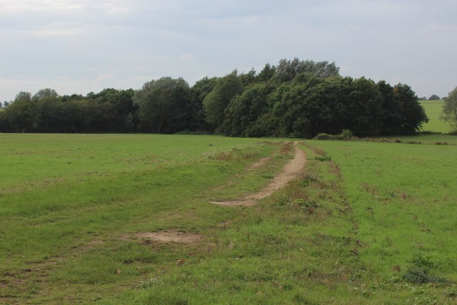
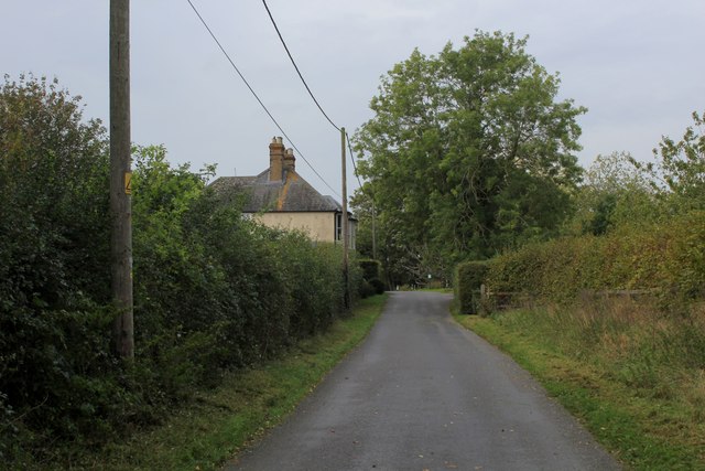
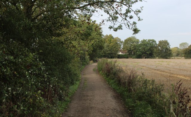
Bannister Green Images

Images are sourced within 2km of 51.857686/0.462871 or Grid Reference TL6920. Thanks to Geograph Open Source API. All images are credited.

Field near Leez Priory
Lane towards Willows Green
Field, Thistley Green
Minor Road, Thistley Green Towards Willows Green.
Minor Road, Thistley Green
Towards Willows Green.
Houses, Thistley Green
Black Barn at Leigh Lodge Farm (1) Fine example of a long black barn to be found at Leigh Lodge in Thistley Green
Black Barn at Leigh Lodge Farm (1)
Fine example of a long black barn to be found at Leigh Lodge in Thistley Green
Black Barn at Leigh Lodge Farm (2) Fine example of a long barn at Leigh Lodge in Thistley Green
Black Barn at Leigh Lodge Farm (2)
Fine example of a long barn at Leigh Lodge in Thistley Green
Footpath at Thistley Green Footpath heading south west off Felsted Road in Thistley Green - it follows the hedgerow, although invisible on the ground.
Footpath at Thistley Green
Footpath heading south west off Felsted Road in Thistley Green - it follows the hedgerow, although invisible on the ground.
Cock Green Causeway End Road heading through the hamlet of Cock Green
Cock Green
Causeway End Road heading through the hamlet of Cock Green
Farm Track heading away from Causeway End Road
Approaching Cobler's Green
Bakers Lane Lane is rather a grand name for this thoroughfare - more a well maintained footpath approaching Jollyboys.
Bakers Lane
Lane is rather a grand name for this thoroughfare - more a well maintained footpath approaching Jollyboys.
Jollyboys House Grade II Listed building dating back to the 17th Century, with later alterations.
Jollyboys House
Grade II Listed building dating back to the 17th Century, with later alterations.
Leighs Lodge Barn Listed Grade II. Late 17th century, and one of the largest barns in Essex <span class="nowrap"><a title="https://historicengland.org.uk/listing/the-list/list-entry/1308583?section=official-list-entry" rel="nofollow ugc noopener" href="https://historicengland.org.uk/listing/the-list/list-entry/1308583?section=official-list-entry">Link</a><img style="margin-left:2px;" alt="External link" title="External link - shift click to open in new window" src="https://s1.geograph.org.uk/img/external.png" width="10" height="10"/></span>
Leighs Lodge Barn
Listed Grade II. Late 17th century, and one of the largest barns in Essex LinkExternal link
Road junction at Thistley Green Hollow Road leading off Felstead Road
Road junction at Thistley Green
Hollow Road leading off Felstead Road
Cock Green The hamlet was called Parndon Green in the late 18th century, but renamed after the Cock Inn <span class="nowrap"><a title="https://epns.nottingham.ac.uk/browse/id/532858b7b47fc40a9800040d-Cock+Green" rel="nofollow ugc noopener" href="https://epns.nottingham.ac.uk/browse/id/532858b7b47fc40a9800040d-Cock+Green">Link</a><img style="margin-left:2px;" alt="External link" title="External link - shift click to open in new window" src="https://s1.geograph.org.uk/img/external.png" width="10" height="10"/></span>
Cock Green
The hamlet was called Parndon Green in the late 18th century, but renamed after the Cock Inn LinkExternal link
Breadlands, Cock Green Listed Grade II, "C16/C17 or earlier with later additions and alterations" <span class="nowrap"><a title="https://historicengland.org.uk/listing/the-list/list-entry/1112837?section=official-list-entry" rel="nofollow ugc noopener" href="https://historicengland.org.uk/listing/the-list/list-entry/1112837?section=official-list-entry">Link</a><img style="margin-left:2px;" alt="External link" title="External link - shift click to open in new window" src="https://s1.geograph.org.uk/img/external.png" width="10" height="10"/></span>
Breadlands, Cock Green
Listed Grade II, "C16/C17 or earlier with later additions and alterations" LinkExternal link
Potash Cottage Listed Grade II, 17th century or earlier <span class="nowrap"><a title="https://historicengland.org.uk/listing/the-list/list-entry/1147208?section=official-list-entry" rel="nofollow ugc noopener" href="https://historicengland.org.uk/listing/the-list/list-entry/1147208?section=official-list-entry">Link</a><img style="margin-left:2px;" alt="External link" title="External link - shift click to open in new window" src="https://s1.geograph.org.uk/img/external.png" width="10" height="10"/></span> . The name likely reflects the former production of potash in the area <span class="nowrap"><a title="https://www.wilcuma.org.uk/the-history-of-essex-after-1066/medieval-essex/" rel="nofollow ugc noopener" href="https://www.wilcuma.org.uk/the-history-of-essex-after-1066/medieval-essex/">Link</a><img style="margin-left:2px;" alt="External link" title="External link - shift click to open in new window" src="https://s1.geograph.org.uk/img/external.png" width="10" height="10"/></span>
Potash Cottage
Listed Grade II, 17th century or earlier LinkExternal link . The name likely reflects the former production of potash in the area LinkExternal link
Show me another place!

Bannister Green is located at Grid Ref: TL6920 (Lat: 51.857686, Lng: 0.462871)

Administrative County: Essex

District: Uttlesford

Police Authority: Essex

What 3 Words

///overheard.book.conjured. Near Little Dunmow, Essex

Nearby Locations

Bannister Green Felsted

Related Wikis

Nearby Amenities

Located within 500m of 51.857686,0.462871
Bannister Green
Is In: Felsted
Place: hamlet
Wikidata: Q2184548
Lat/Long: 51.8588669/0.4602026
The data included in this document is from www.openstreetmap.org. The data is made available under ODbL.

Have you been to Bannister Green?

Leave your review of Bannister Green below (or comments, questions and feedback).