Bannockburn
Settlement in Stirlingshire
Scotland
Bannockburn
Bannockburn is a small town located in the county of Stirlingshire, Scotland. Situated just a few miles south of Stirling, it holds significant historical importance due to the famous Battle of Bannockburn, which took place nearby in 1314. The town's name derives from the Scots Gaelic words "bann" (meaning white) and "coch" (meaning hill), referring to the white hill that overlooks the area.
The Battle of Bannockburn was a pivotal event in Scottish history, where the Scottish army, led by King Robert the Bruce, defeated the English forces under King Edward II. Today, the battlefield is preserved as a heritage site and attracts tourists from around the world who come to learn about this crucial moment in Scottish independence.
Despite its historical significance, Bannockburn remains a relatively small residential area with a population of around 8,000 people. It offers a peaceful and picturesque setting, surrounded by beautiful countryside and green spaces, making it an ideal location for nature enthusiasts and outdoor activities.
The town provides essential amenities for its residents, including shops, restaurants, and local businesses. Bannockburn Primary School serves the community's educational needs, while a variety of community groups and organizations contribute to the town's vibrant social life.
With its rich history, stunning landscapes, and welcoming community, Bannockburn continues to be a place of interest for both locals and visitors alike, offering a glimpse into Scotland's past while providing a comfortable and scenic place to call home.
If you have any feedback on the listing, please let us know in the comments section below.
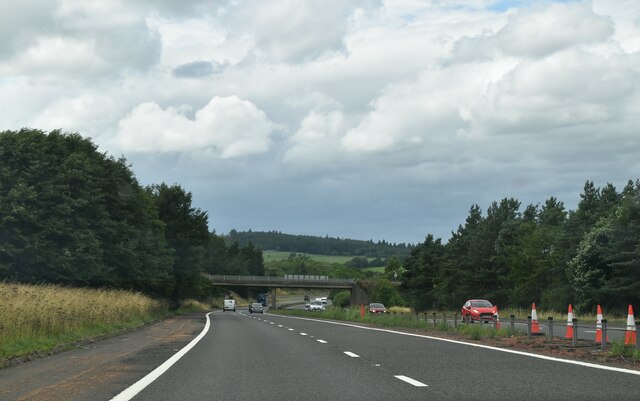
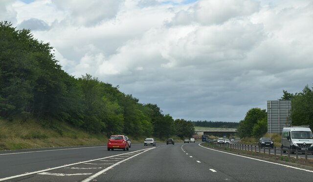
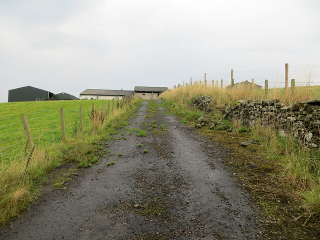
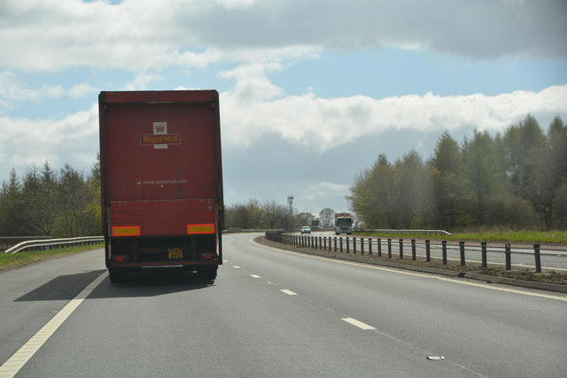
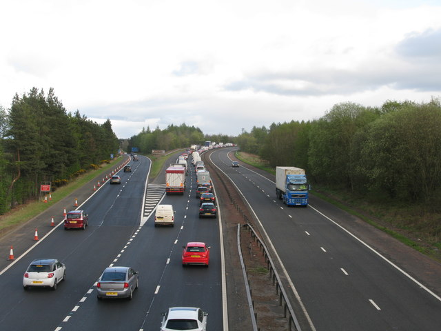
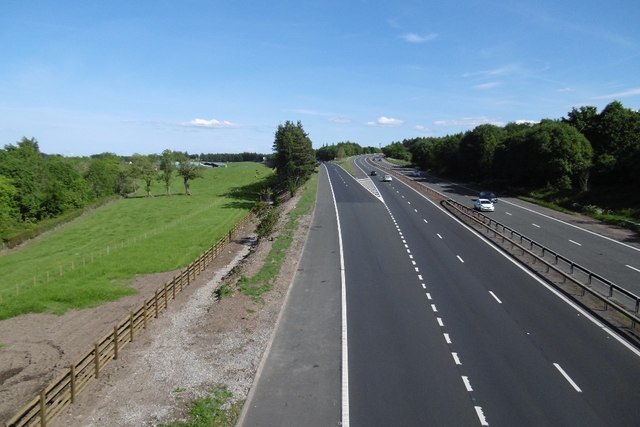
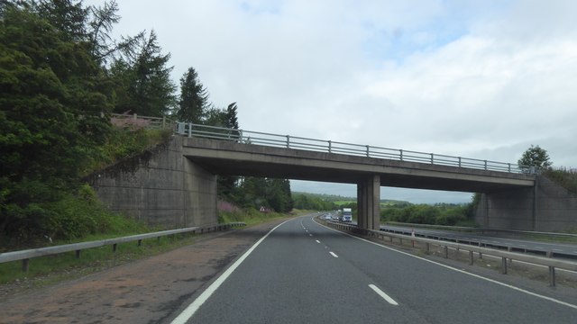
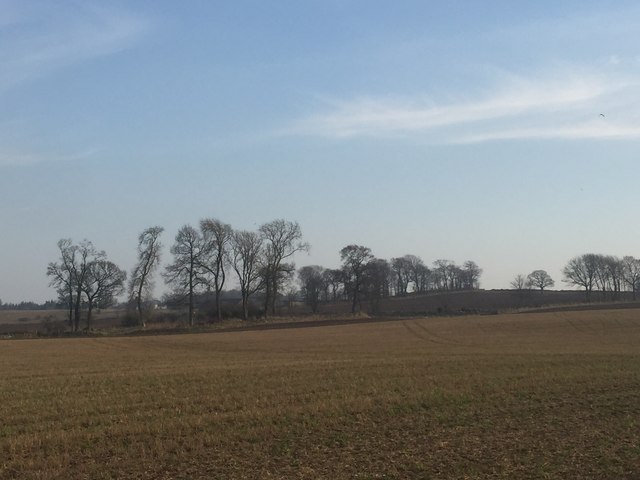
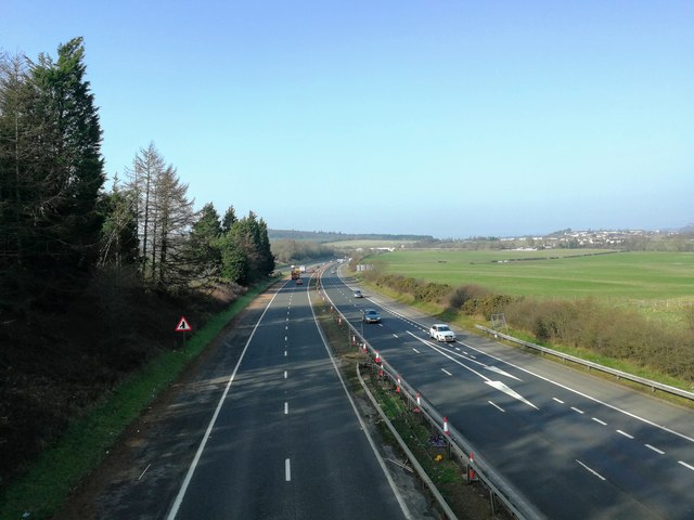
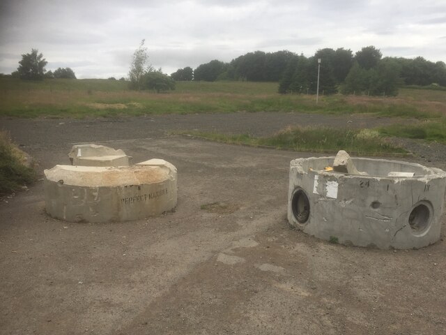
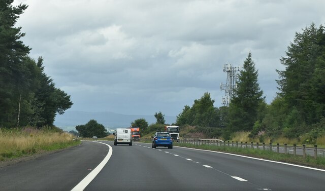
Bannockburn Images
Images are sourced within 2km of 56.090997/-3.914526 or Grid Reference NS8090. Thanks to Geograph Open Source API. All images are credited.


Bannockburn is located at Grid Ref: NS8090 (Lat: 56.090997, Lng: -3.914526)
Unitary Authority: Stirling
Police Authority: Forth Valley
What 3 Words
///matchbox.downcast.married. Near Bannockburn, Stirling
Nearby Locations
Related Wikis

Bannockburn
Bannockburn (Scottish Gaelic Allt a' Bhonnaich) is an area immediately south of the centre of Stirling in Scotland. It is part of the City of Stirling...

Bannockburn railway station
Bannockburn railway station served the town of Bannockburn, Stirlingshire, Scotland from 1848 to 1950 on the Scottish Central Railway. == History == The...

Broomridge
Broomridge is a district in the south of the city of Stirling, Scotland, located north of Bannockburn and east of St. Ninians. It is home to Bannockburn...
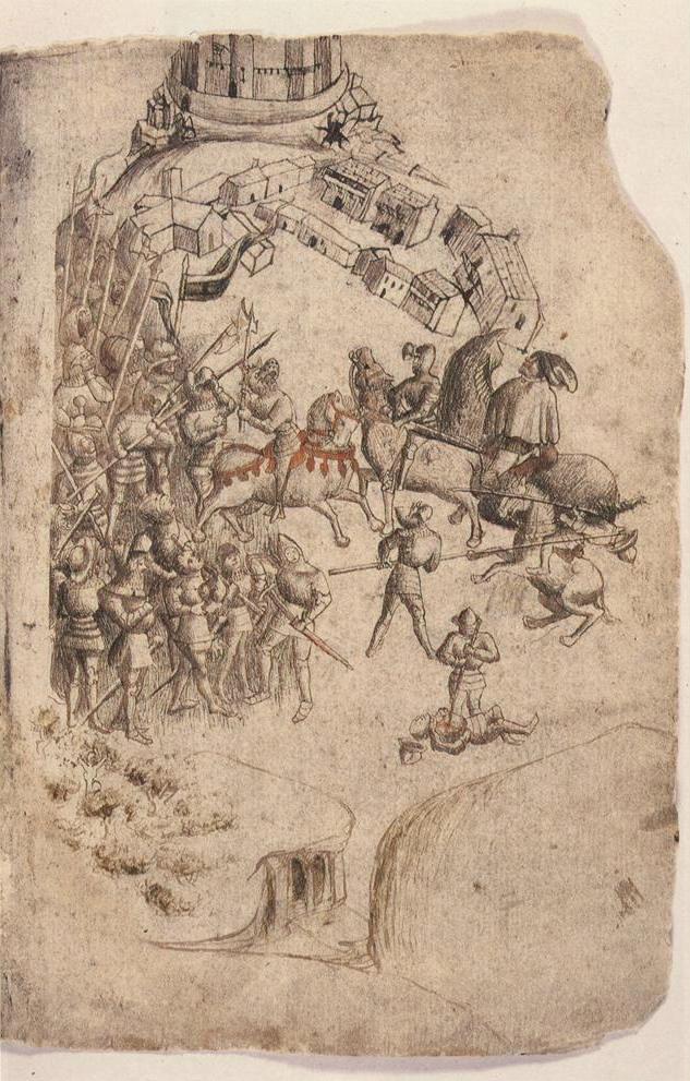
Battle of Bannockburn
The Battle of Bannockburn (Scottish Gaelic: Blàr Allt nam Bànag or Blàr Allt a' Bhonnaich) was fought on 23–24 June 1314, between the army of Robert the...
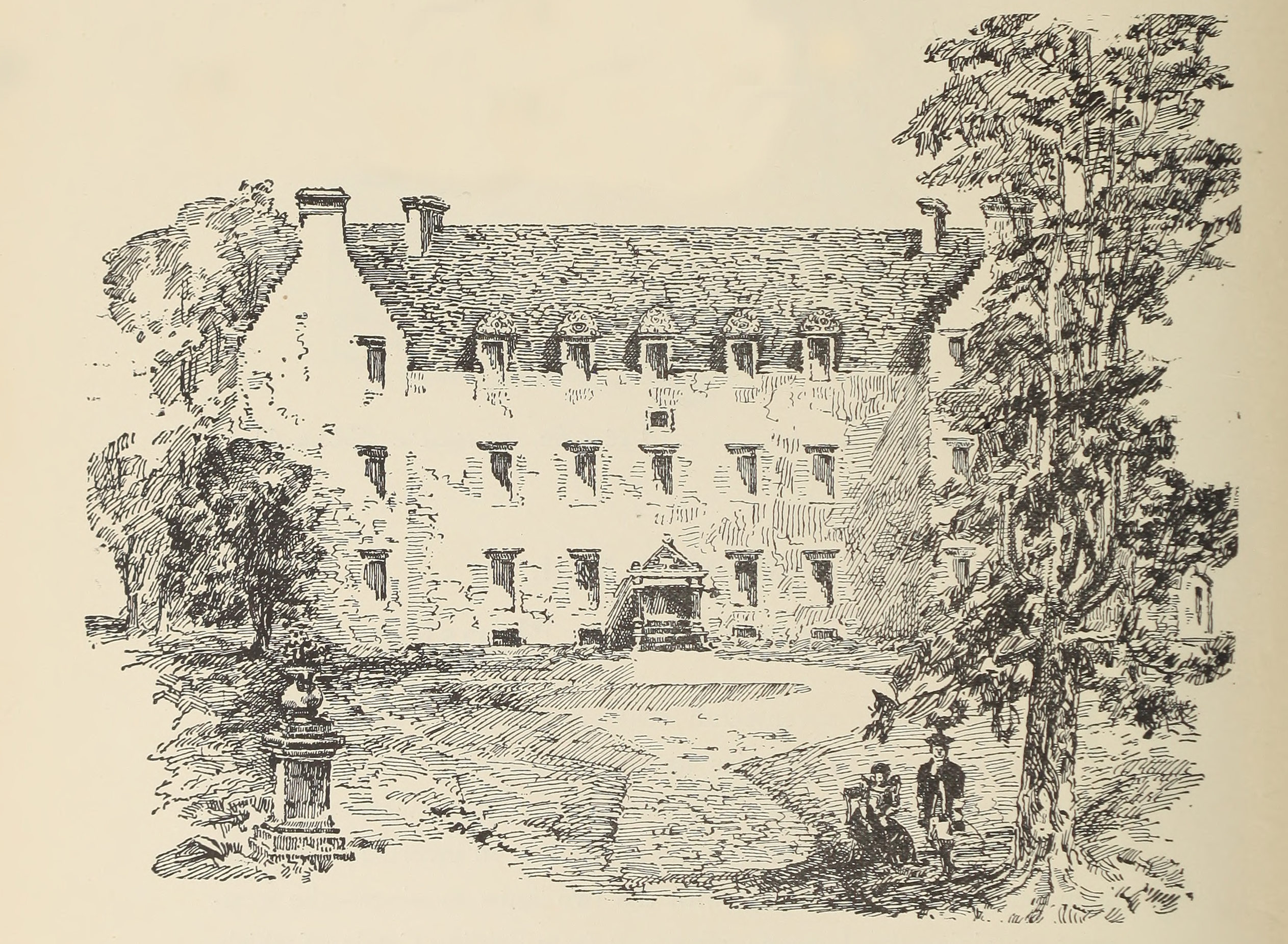
Bannockburn House
Bannockburn House is a property of historical significance in the town of Bannockburn. It is a Category A listed building. == History == Bannockburn House...
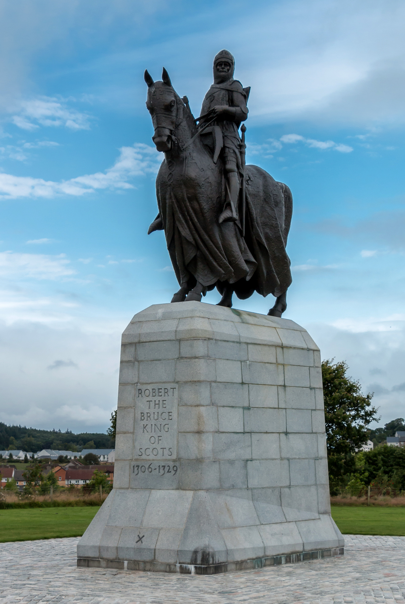
Equestrian statue of Robert the Bruce, Bannockburn
The equestrian statue of Robert the Bruce at the Bannockburn Visitor Centre, Bannockburn, Stirling, is a 1964 work by Pilkington Jackson. == Description... ==
Stirling services
Stirling services is a motorway service station near Stirling, Scotland. The service station is located where the M9 motorway and M80 motorway join. It...

St. Ninians
St. Ninians is a long-standing settlement which is now a district of the city of Stirling in central Scotland. It is located approximately one mile south...
Nearby Amenities
Located within 500m of 56.090997,-3.914526Have you been to Bannockburn?
Leave your review of Bannockburn below (or comments, questions and feedback).