Banns
Settlement in Cornwall
England
Banns

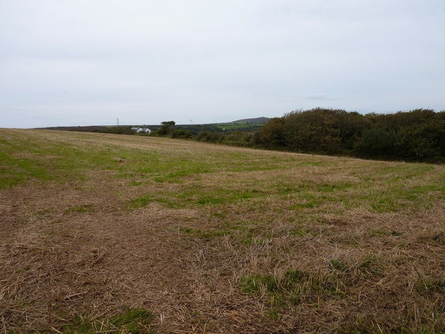
Banns is a small village located in the county of Cornwall, England. Situated on the southern coast of the country, it belongs to the civil parish of St. Breward and lies within the Bodmin Moor Area of Outstanding Natural Beauty. With a population of around 200 residents, Banns is known for its tranquil and rural setting.
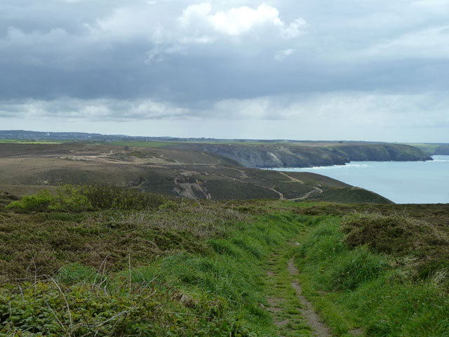
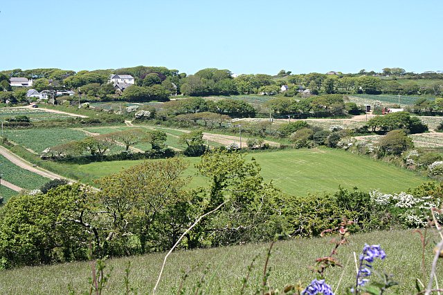
The village is surrounded by stunning natural landscapes, characterized by rolling hills, picturesque meadows, and charming woodlands. This makes Banns a popular destination for nature enthusiasts seeking peaceful walks, hikes, and cycling routes. The nearby Bodmin Moor offers extensive opportunities for outdoor activities, such as birdwatching, horse riding, and fishing.
In terms of amenities, Banns has limited facilities. However, the neighboring village of St. Breward provides essential services, including a post office, a primary school, and a local pub. The area is also renowned for its rich history, with several ancient sites and landmarks scattered throughout the region. Notably, the Hurlers Stone Circles and the famous Jamaica Inn, made famous by Daphne du Maurier's novel, are within easy reach of Banns.
Banns offers a peaceful and idyllic countryside lifestyle, away from the hustle and bustle of larger towns and cities. The village's close-knit community, stunning natural surroundings, and proximity to historical attractions make it an attractive location for those seeking a quiet retreat in the heart of Cornwall.
If you have any feedback on the listing, please let us know in the comments section below.
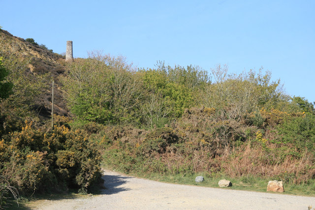
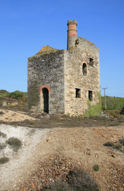
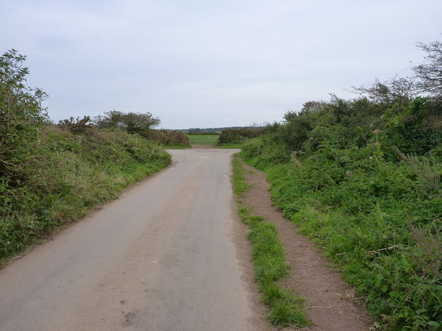
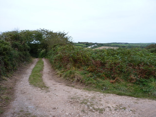
Banns Images
Images are sourced within 2km of 50.28703/-5.2301149 or Grid Reference SW7048. Thanks to Geograph Open Source API. All images are credited.


Banns is located at Grid Ref: SW7048 (Lat: 50.28703, Lng: -5.2301149)
Unitary Authority: Cornwall
Police Authority: Devon and Cornwall
What 3 Words
///swaps.retailing.prospers. Near Mount Hawke, Cornwall
Nearby Locations
Related Wikis

Porthtowan
Porthtowan (Standard Written Form: Porth Tewyn, meaning cove of sand dunes) is a small village in Cornwall, England which is a popular summer tourist destination...

Banns, Cornwall
Banns is a hamlet in west Cornwall, England, United Kingdom situated between Mount Hawke and Porthtowan at grid reference SW 710 480 in the civil parish...
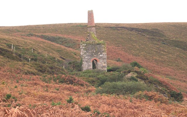
Great Wheal Charlotte
Great Wheal Charlotte, also known as Wheal Charlotte, is an abandoned copper and tin mine near St Agnes in Cornwall, England. All that is left of the mine...

Mingoose
Mingoose is a hamlet near St Agnes and north of Mount Hawke in Cornwall, England. == References ==
Mount Hawke
Mount Hawke is a village in Cornwall, United Kingdom. It is situated approximately eight miles (13 km) west-northwest of Truro, five miles (8.0 km) north...
Menagissey
Menagissey is a hamlet in Cornwall, England, United Kingdom. It is half-a-mile south of Mount Hawke about three miles (5 km) north-northeast of Redruth...

Manor Parsley
Manor Parsley is a hamlet near Mount Hawke in Cornwall, England, UK. Manor Parsley is approximately 2 miles (3.2 km) north of Redruth. == References ==

Wheal Coates
Wheal Coates is a former tin mine situated on the north coast of Cornwall, UK, on the cliff tops between Porthtowan and St Agnes. It is preserved and maintained...
Related Videos
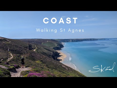
Walking Wheal Coates to Trevaunance Cove
On one of the hottest days of the year, Toby takes a walk from Wheal Coates to Trevaunance Cove along the South West Coast ...

Globe Vale Holiday Park Redruth Cornwall Camping and Caravan Site
Globe Vale Holiday Park Redruth Cornwall Camping and Caravan Site DJI Mavic pro drone / smart controller. Edited on Corel ...

Globe Vale Holiday Park | Best Campsite In Cornwall | Tour & HONEST Review
Join us as we give a full tour and honest review of Globe Vale Holiday Park in Cornwall. This site has a great reputation and is ...

English Cottage Vacation - UK Cornwall beaches! #ChapelPorth
Come with us as we take a trip to just one of many magnificent beaches in Cornwall, England. This beach is Chapelporth!
Nearby Amenities
Located within 500m of 50.28703,-5.2301149Have you been to Banns?
Leave your review of Banns below (or comments, questions and feedback).