Westwood Coppice
Wood, Forest in Warwickshire
England
Westwood Coppice
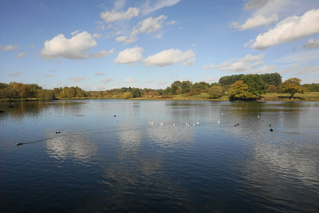
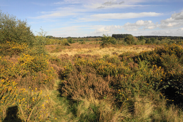
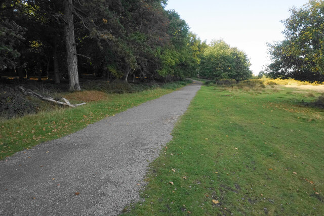
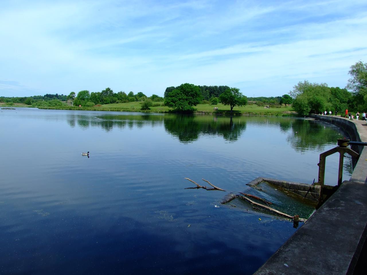
Westwood Coppice is a serene woodland located in Warwickshire, England. Stretching over a vast area, this ancient forest is a hub of natural beauty and biodiversity. The coppice, which refers to a woodland area specifically managed for the production of timber, has a rich history dating back centuries.
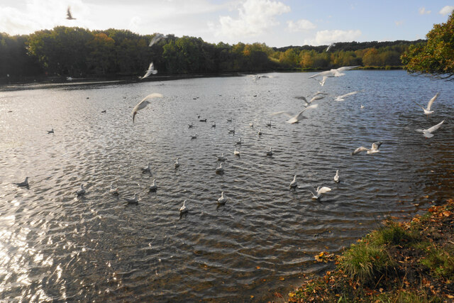
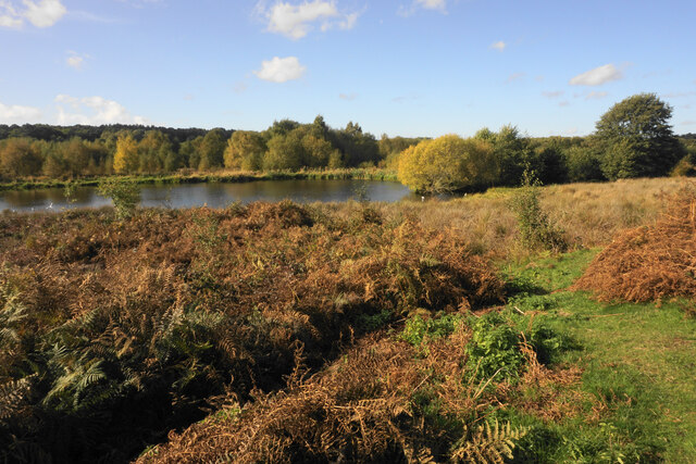
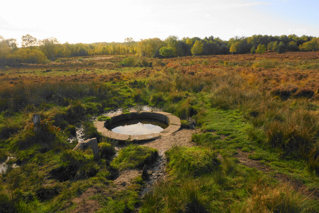
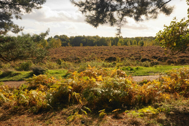
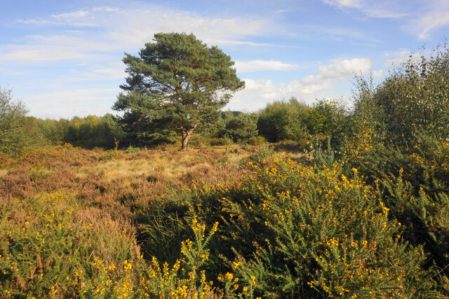
The forest is predominantly made up of broadleaf trees such as oak, ash, beech, and birch, creating a diverse and vibrant canopy. These towering trees provide shelter and habitat for a plethora of wildlife species, including birds, mammals, and insects. The forest floor is adorned with a tapestry of wildflowers, ferns, and mosses, creating a picturesque landscape.
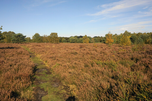
Westwood Coppice is a popular destination for nature enthusiasts and outdoor enthusiasts alike. The forest offers a network of well-maintained trails, allowing visitors to explore the woodland and discover its hidden treasures. Hiking, birdwatching, and photography are common activities enjoyed by visitors to the forest.
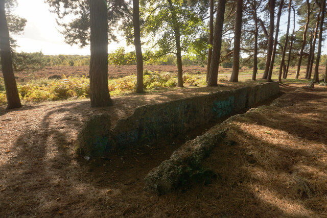
In addition to its natural beauty, Westwood Coppice is also of historical significance. The woodland has played a vital role in providing timber for various industries throughout the centuries. The management of the coppice involves a sustainable practice known as coppicing, where certain trees are cut down periodically to stimulate new growth. This traditional forestry technique has been employed in the woodland for generations.
Overall, Westwood Coppice is a captivating destination that showcases the beauty of Warwickshire's natural landscapes. Its rich biodiversity, historical significance, and recreational opportunities make it a must-visit location for nature lovers and those seeking tranquility amid the hustle and bustle of modern life.
If you have any feedback on the listing, please let us know in the comments section below.
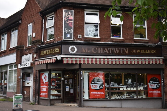
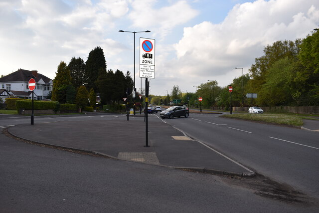
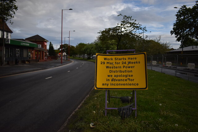
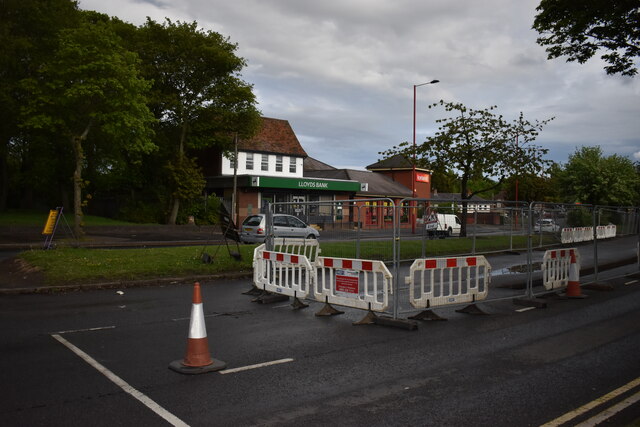
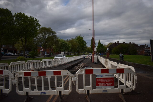
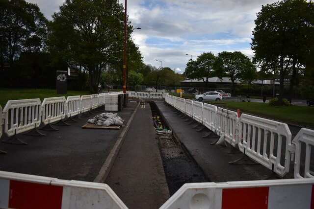
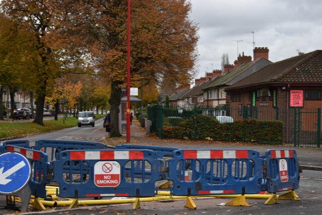
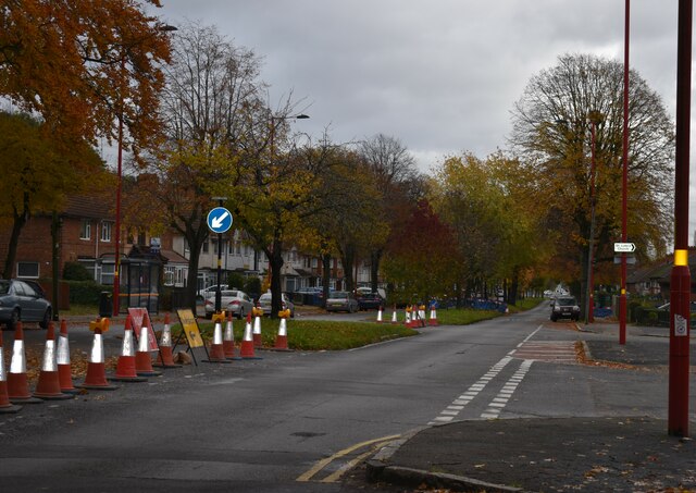
Westwood Coppice Images
Images are sourced within 2km of 52.56145/-1.8724016 or Grid Reference SP0895. Thanks to Geograph Open Source API. All images are credited.
Westwood Coppice is located at Grid Ref: SP0895 (Lat: 52.56145, Lng: -1.8724016)
Unitary Authority: Birmingham
Police Authority: West Midlands
What 3 Words
///lakes.pans.flap. Near Streetly, West Midlands
Nearby Locations
Related Wikis
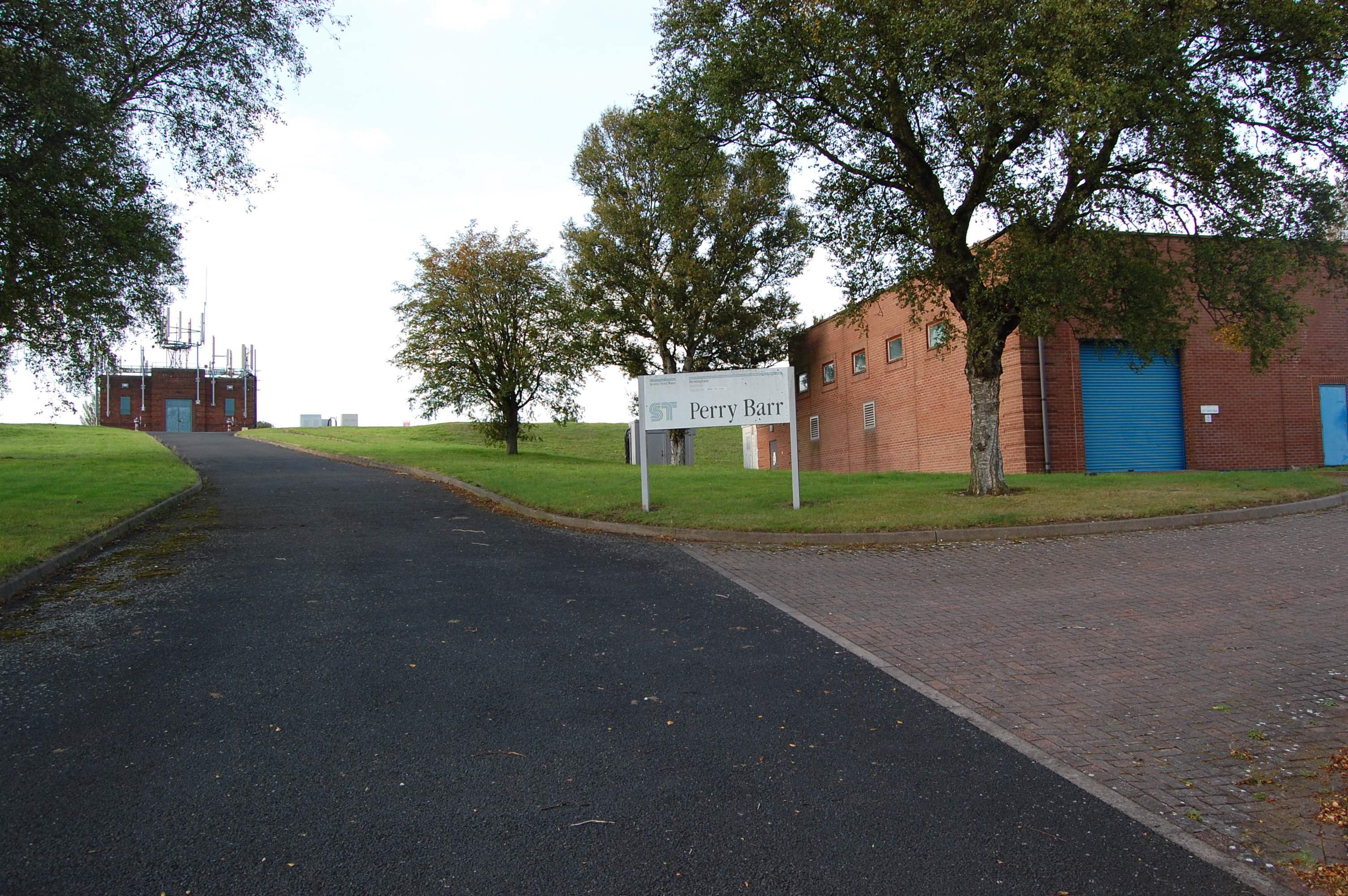
Perry Barr Reservoir
Perry Barr Reservoir is a covered drinking water reservoir, in north Birmingham, England, operated by Severn Trent Water. Built for the then Birmingham...
King's Standing Bowl Barrow
King's Standing Bowl Barrow or Kingstanding Mound, is a scheduled monument in the Kingstanding area of Birmingham. It comprises the buried and earthwork...

The Streetly Academy
The Streetly Academy (formerly known as The Streetly School) is a large co-educational secondary school in Streetly, West Midlands, England, on the border...

Odeon, Kingstanding
The Odeon at Kingstanding, Birmingham, was a 1930s cinema in the Odeon chain. Though closed as a cinema in 1962, the building survives as a bingo hall...
Sutton Park, West Midlands
Sutton Park is a large urban park located in Sutton Coldfield, Birmingham, West Midlands, England. Most of the park is a national nature reserve; large...
Kingstanding
Kingstanding is an area in north Birmingham, England. It gives its name to a ward in the Erdington council constituency. Kingstanding ward includes the...

Cardinal Wiseman Catholic School, Birmingham
Cardinal Wiseman Catholic School is a non-selective comprehensive state secondary school in Kingstanding; an inner-city suburb of Birmingham, England....
Streetly
Streetly is an area in the county of West Midlands, England which lies around 7 miles (11 km) to the north of Birmingham City Centre. It is uniquely located...
Nearby Amenities
Located within 500m of 52.56145,-1.8724016Have you been to Westwood Coppice?
Leave your review of Westwood Coppice below (or comments, questions and feedback).