King's Low

Heritage Site in Staffordshire Stafford

England

King's Low

Public footpath across field
Public footpath across field Credit: Jonathan Hutchins

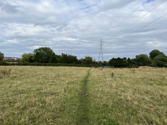
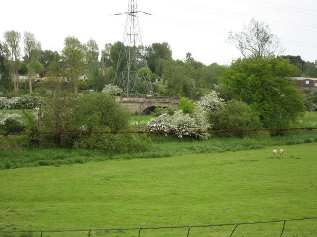
King's Low is a historically significant heritage site located in Staffordshire, England. It is an ancient burial ground, dating back to the Bronze Age, and is considered one of the most important archaeological sites in the country. The site covers an area of approximately 30 hectares and is situated near the River Trent, adding to its aesthetic appeal.

The burial mounds at King's Low are well-preserved and provide valuable insights into the burial practices and rituals of the Bronze Age people. The site contains around 67 burial mounds, known as round barrows, which are circular mounds of earth and stones. These barrows vary in size, with some reaching up to 30 meters in diameter. They were likely used to bury important individuals or families of high social status.

Excavations at King's Low have revealed a wealth of artifacts, including pottery, flint tools, and jewelry, which further enhance our understanding of the Bronze Age culture. These findings suggest a sophisticated society that valued craftsmanship and trade.

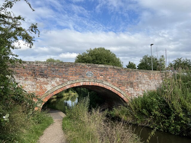
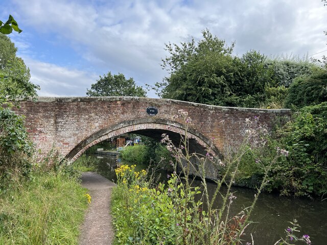
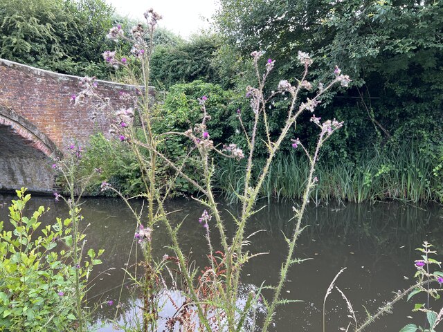
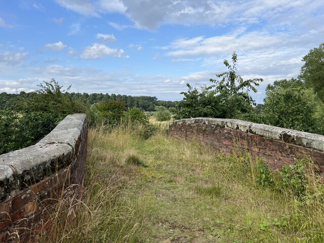
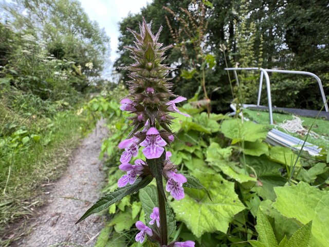
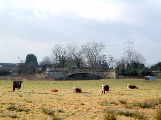
The landscape surrounding King's Low is also of significant importance. It comprises both wetland and dryland areas, providing a diverse habitat for various plant and animal species. This natural environment adds to the charm of the site and makes it a popular destination for nature enthusiasts.

Due to its archaeological and ecological significance, King's Low has been designated as a protected heritage site. It offers a unique opportunity for visitors to explore the ancient past of Staffordshire and gain a deeper appreciation for the rich history of the region.

If you have any feedback on the listing, please let us know in the comments section below.
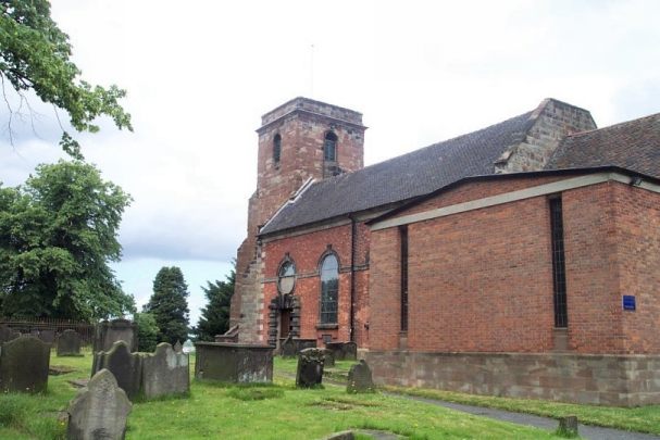
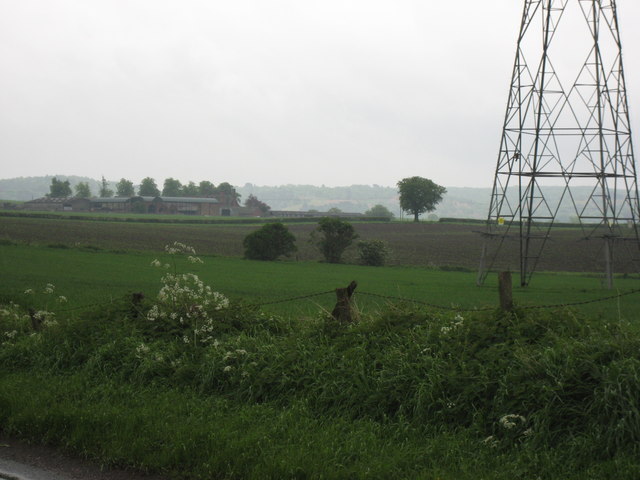
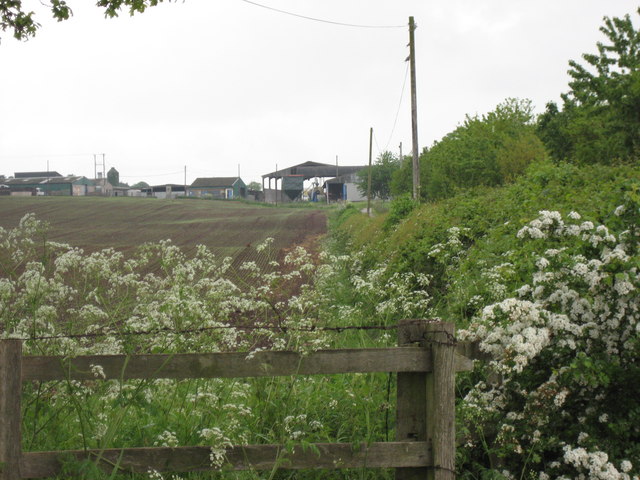
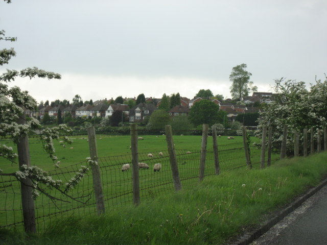
King's Low Images

Images are sourced within 2km of 52.808/-2.067 or Grid Reference SJ9523. Thanks to Geograph Open Source API. All images are credited.

Public footpath across field
Bridge over the River Penk The River Penk is a small river flowing though Staffordshire. Its course is mainly within South Staffordshire, and it drains most of the northern part of that district, together with some adjoining areas of Cannock Chase, Stafford, Wolverhampton, and Shropshire. It flows into the River Sow. The river rises near Wolverhampton and generally flows north to meet the River Sow at Stafford.
Bridge over the River Penk
The River Penk is a small river flowing though Staffordshire. Its course is mainly within South Staffordshire, and it drains most of the northern part of that district, together with some adjoining areas of Cannock Chase, Stafford, Wolverhampton, and Shropshire. It flows into the River Sow. The river rises near Wolverhampton and generally flows north to meet the River Sow at Stafford.
Canal near Baswich The Staffordshire and Worcestershire Canal was opened in 1772, engineered by James Brindley. It cost a little over £100,000 at the time. It links the River Severn at Stourport to the Trent and Mersey Canal at Great Haywood Junction in Staffordshire. There are 43 locks (45 if you don't fancy the deep wide locks at Stourport) and the canal is 46 miles in length.
Canal near Baswich
The Staffordshire and Worcestershire Canal was opened in 1772, engineered by James Brindley. It cost a little over £100,000 at the time. It links the River Severn at Stourport to the Trent and Mersey Canal at Great Haywood Junction in Staffordshire. There are 43 locks (45 if you don't fancy the deep wide locks at Stourport) and the canal is 46 miles in length.
St Thomas canal bridge Bridge no.101 over the Staffordshire and Worcestershire Canal is Grade II listed, see <span class="nowrap"><a title="https://historicengland.org.uk/listing/the-list/list-entry/1211073?section=official-list-entry" rel="nofollow ugc noopener" href="https://historicengland.org.uk/listing/the-list/list-entry/1211073?section=official-list-entry">Link</a><img style="margin-left:2px;" alt="External link" title="External link - shift click to open in new window" src="https://s1.geograph.org.uk/img/external.png" width="10" height="10"/></span>
St Thomas canal bridge
Bridge no.101 over the Staffordshire and Worcestershire Canal is Grade II listed, see LinkExternal link
Lodgefield canal bridge The Staffordshire and Worcestershire Canal was opened in 1772, engineered by James Brindley. It cost a little over £100,000 at the time. It links the River Severn at Stourport to the Trent and Mersey Canal at Great Haywood Junction in Staffordshire. There are 43 locks (45 if you don't fancy the deep wide locks at Stourport) and the canal is 46 miles in length.
Lodgefield canal bridge
The Staffordshire and Worcestershire Canal was opened in 1772, engineered by James Brindley. It cost a little over £100,000 at the time. It links the River Severn at Stourport to the Trent and Mersey Canal at Great Haywood Junction in Staffordshire. There are 43 locks (45 if you don't fancy the deep wide locks at Stourport) and the canal is 46 miles in length.
Marsh Thistle by canal The Staffordshire and Worcestershire Canal was opened in 1772, engineered by James Brindley. It cost a little over £100,000 at the time. It links the River Severn at Stourport to the Trent and Mersey Canal at Great Haywood Junction in Staffordshire. There are 43 locks (45 if you don't fancy the deep wide locks at Stourport) and the canal is 46 miles in length.
Marsh Thistle by canal
The Staffordshire and Worcestershire Canal was opened in 1772, engineered by James Brindley. It cost a little over £100,000 at the time. It links the River Severn at Stourport to the Trent and Mersey Canal at Great Haywood Junction in Staffordshire. There are 43 locks (45 if you don't fancy the deep wide locks at Stourport) and the canal is 46 miles in length.
Lodgefield canal bridge The Staffordshire and Worcestershire Canal was opened in 1772, engineered by James Brindley. It cost a little over £100,000 at the time. It links the River Severn at Stourport to the Trent and Mersey Canal at Great Haywood Junction in Staffordshire. There are 43 locks (45 if you don't fancy the deep wide locks at Stourport) and the canal is 46 miles in length.
Lodgefield canal bridge
The Staffordshire and Worcestershire Canal was opened in 1772, engineered by James Brindley. It cost a little over £100,000 at the time. It links the River Severn at Stourport to the Trent and Mersey Canal at Great Haywood Junction in Staffordshire. There are 43 locks (45 if you don't fancy the deep wide locks at Stourport) and the canal is 46 miles in length.
Marsh Woundwort by canal The Staffordshire and Worcestershire Canal was opened in 1772, engineered by James Brindley. It cost a little over £100,000 at the time. It links the River Severn at Stourport to the Trent and Mersey Canal at Great Haywood Junction in Staffordshire. There are 43 locks (45 if you don't fancy the deep wide locks at Stourport) and the canal is 46 miles in length.
Marsh Woundwort by canal
The Staffordshire and Worcestershire Canal was opened in 1772, engineered by James Brindley. It cost a little over £100,000 at the time. It links the River Severn at Stourport to the Trent and Mersey Canal at Great Haywood Junction in Staffordshire. There are 43 locks (45 if you don't fancy the deep wide locks at Stourport) and the canal is 46 miles in length.
Katherine House Hospice Hospice in Stafford, preparing for charity bike ride.
Katherine House Hospice
Hospice in Stafford, preparing for charity bike ride.
Bridge over the River Penk , Baswich Road I believe this is one of Telford's bridges
Bridge over the River Penk , Baswich Road
I believe this is one of Telford's bridges
Holy Trinity, Baswich <span class="nowrap"><a title="http://www.achurchnearyou.com/berkswich-holy-trinity/" rel="nofollow ugc noopener" href="http://www.achurchnearyou.com/berkswich-holy-trinity/">Link</a><img style="margin-left:2px;" alt="External link" title="External link - shift click to open in new window" src="https://s1.geograph.org.uk/img/external.png" width="10" height="10"/></span>
Holy Trinity, Baswich
Brancote Farm On a rather poor day !
Brancote Farm
On a rather poor day !
Tixall Heath Farm From the side of its drive way
Tixall Heath Farm
From the side of its drive way
Looking across the fields to the Houses At the edge of Stafford
Looking across the fields to the Houses
At the edge of Stafford
Fields at St Thomas Looking towards the bridge over the Penk. In the Spring, on a wet day.
Fields at St Thomas
Looking towards the bridge over the Penk. In the Spring, on a wet day.
Stafford fire station Stafford fire station, Beaconside, Stafford, Staffordshire.
Stafford fire station
Stafford fire station, Beaconside, Stafford, Staffordshire.
Stafford Crematorium Stafford Crematorium
Stafford Crematorium
Road to crematorium The road leads from the crematorium down to the junction with the Stafford - Uttoxeter road (just out of sight).
Road to crematorium
The road leads from the crematorium down to the junction with the Stafford - Uttoxeter road (just out of sight).
Show me another place!

King's Low is located at Grid Ref: SJ9523 (Lat: 52.808, Lng: -2.067)

Administrative County: Staffordshire

District: Stafford

Police Authority: Staffordshire

What 3 Words

///swing.damage.gown. Near Stafford, Staffordshire

Nearby Locations

Crab Covert King's Low

Related Wikis

Priory of St. Thomas near Stafford

Priory of St. Thomas near Stafford was an Augustinian religious house near Stafford, Staffordshire, England. Founded sometime in approximately 1174, it...

Weston Road Academy

The Weston Road Academy (formerly Weston Road High School) is an academy school in Stafford, England. It provides secondary and further education for pupils...

River Penk

The River Penk is a small river flowing through Staffordshire, England. Its course is mainly within South Staffordshire, and it drains most of the northern...

Baswich

Baswich is an estate on the south eastern side of Stafford, in the Stafford district, in the county of Staffordshire, England. Baswich amenities are a...

Bingley Hall, Stafford

Bingley Hall (also known as New Bingley Hall to distinguish itself from the Bingley Hall in Birmingham) is an exhibition hall located in Stafford, England...

Mid Staffordshire Postgraduate Medical Centre

Mid Staffordshire Postgraduate Medical Centre is a Medical Education establishment situated in Stafford, England. The Centre is located in the grounds...

Stafford Hospital scandal

The Stafford Hospital scandal concerns poor care and high mortality rates amongst patients at the Stafford Hospital, Stafford, England, during the first...

County Hospital, Stafford

County Hospital is an acute hospital with less than 200 inpatient beds, opened in 1983. It is the main hospital in Stafford, England. The hospital is managed...

Nearby Amenities

Located within 500m of 52.808,-2.067
Traffic Signals
Traffic Signals Direction: forward
Lat/Long: 52.8081172/-2.0739225
Junction: crossroads
Lat/Long: 52.8079227/-2.0740336
Power: tower
Source: Bing
Lat/Long: 52.8042596/-2.0680472
Power: tower
Source: Bing
Lat/Long: 52.8049731/-2.0622751
Traffic Signals
Traffic Signals Direction: backward
Lat/Long: 52.8077725/-2.0741088
Traffic Signals
Traffic Signals Direction: backward
Lat/Long: 52.8079326/-2.0743497
Traffic Signals
Traffic Signals Direction: forward
Lat/Long: 52.8079163/-2.0736242
Addr Housename: Tixall Heath Cottages
Lat/Long: 52.807048/-2.0667162
Noexit: yes
Lat/Long: 52.8083515/-2.0734441
The data included in this document is from www.openstreetmap.org. The data is made available under ODbL.

Have you been to King's Low?

Leave your review of King's Low below (or comments, questions and feedback).