Bury Castle
Heritage Site in Somerset Somerset West and Taunton
England
Bury Castle
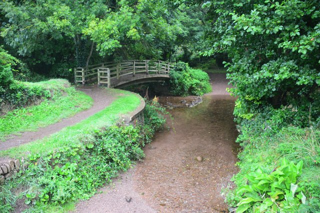
Bury Castle, located in the county of Somerset, England, is a historical site of great significance. Perched on a hilltop overlooking the village of Babcary, this ancient hillfort provides a glimpse into the region's rich archaeological heritage.
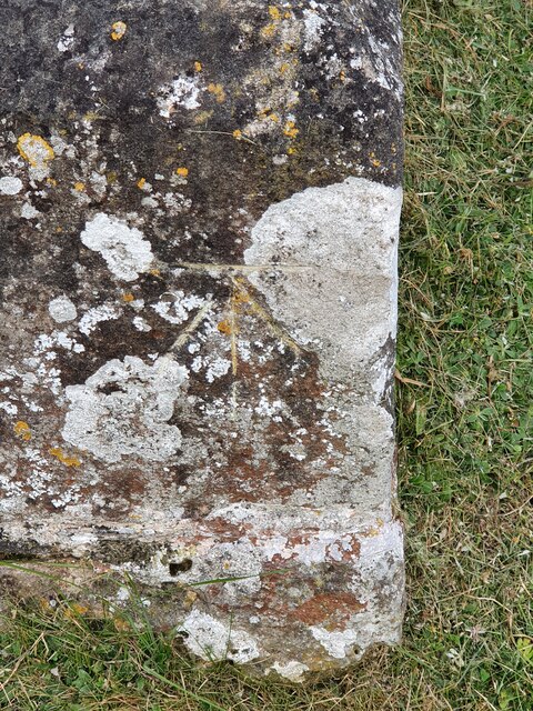
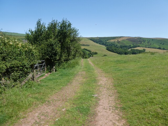
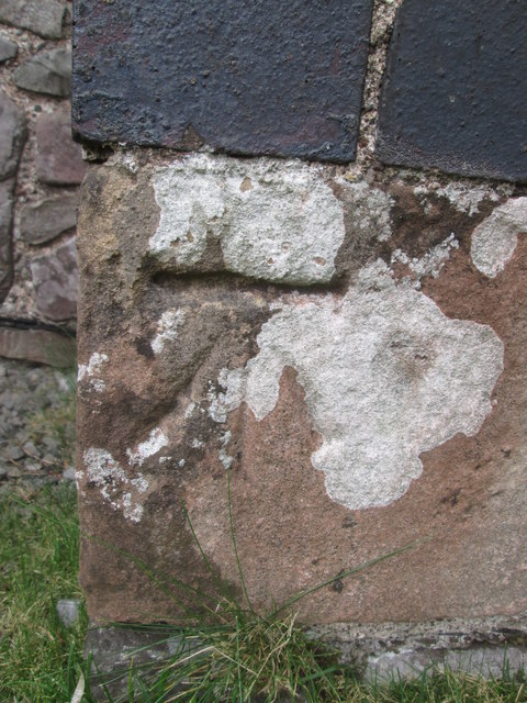
Dating back to the Iron Age, Bury Castle is believed to have been constructed around 300 BCE. The site covers an area of approximately 1.2 hectares and is surrounded by a series of impressive ramparts and ditches, which were likely used as defensive structures. These earthworks are still visible today, offering visitors a chance to witness the strategic design of this ancient fortification.
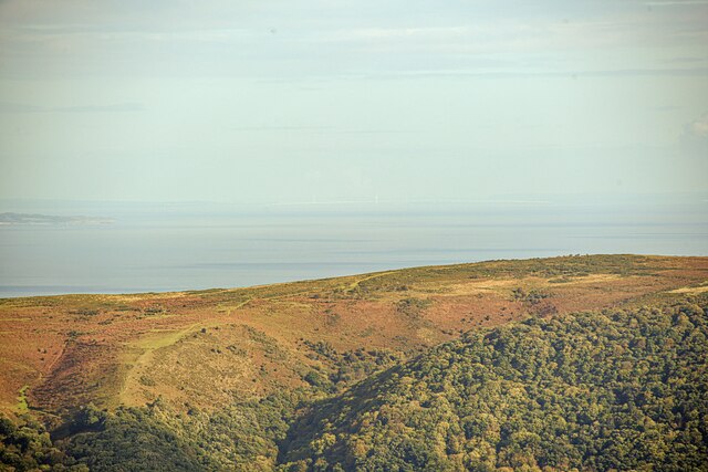
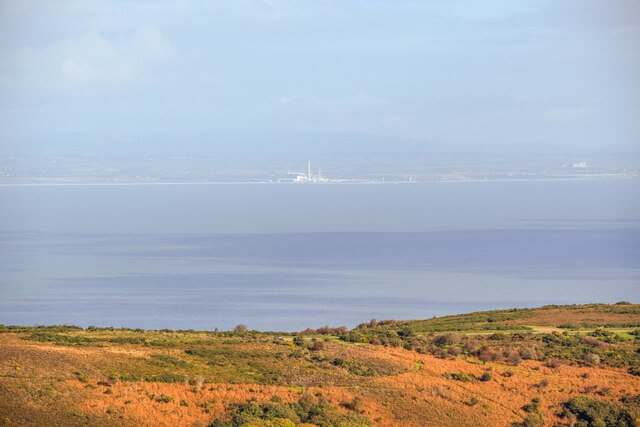
Although the exact purpose of Bury Castle is not entirely clear, it is speculated that it served as a defensive stronghold and a place of refuge during times of conflict. The site's elevated position allowed for excellent visibility of the surrounding landscape, making it an ideal location for early inhabitants to monitor and defend against potential threats.
Over the centuries, Bury Castle has undergone various modifications and adaptations. During the Roman period, it is believed that the site was transformed into a small settlement. Later, in the Medieval period, a motte-and-bailey castle was built within the existing earthworks. Unfortunately, only scant remains of this castle can be seen today.
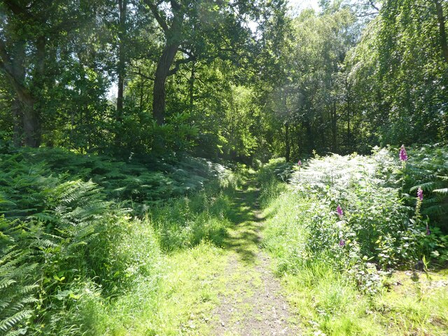
Bury Castle is now a designated heritage site, protected under the Ancient Monuments and Archaeological Areas Act of 1979. Visitors can explore the site's ancient earthworks and enjoy panoramic views of the picturesque Somerset countryside. This historical gem offers a fascinating insight into the region's ancient past and is a must-visit destination for history enthusiasts and archaeology lovers alike.
If you have any feedback on the listing, please let us know in the comments section below.
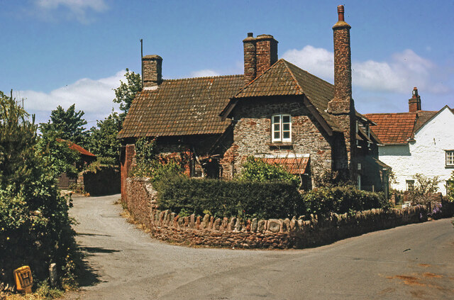
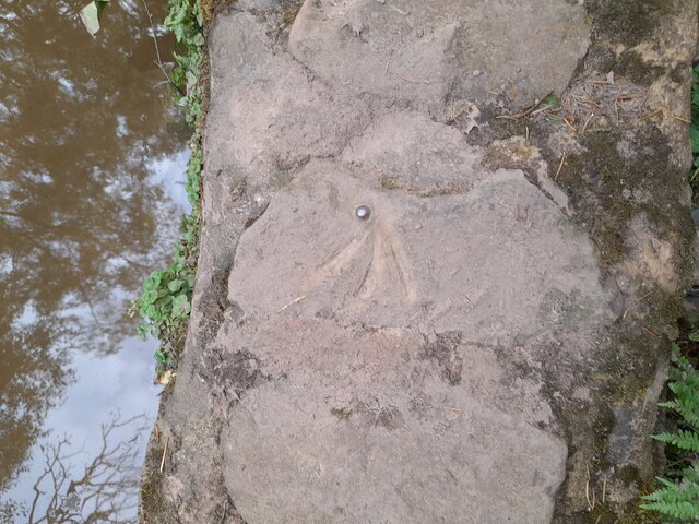
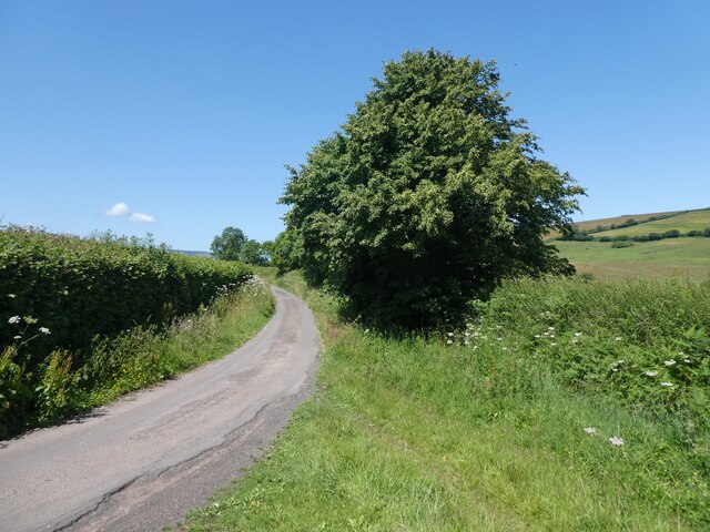
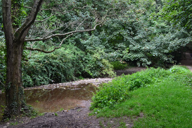
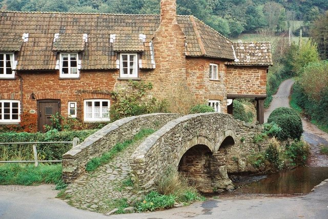
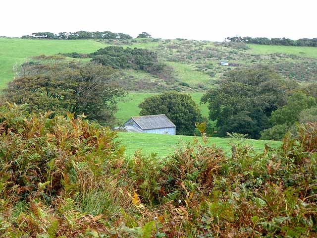
Bury Castle Images
Images are sourced within 2km of 51.215/-3.553 or Grid Reference SS9147. Thanks to Geograph Open Source API. All images are credited.

Bury Castle is located at Grid Ref: SS9147 (Lat: 51.215, Lng: -3.553)
Administrative County: Somerset
District: Somerset West and Taunton
Police Authority: Avon and Somerset
What 3 Words
///thundered.walkway.everyone. Near Porlock, Somerset
Related Wikis

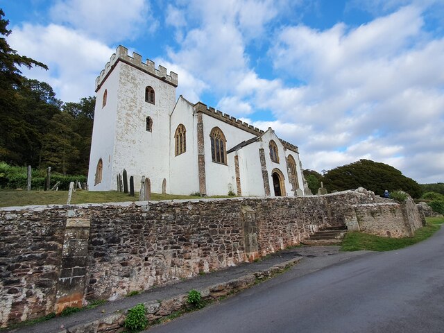
Bury Castle, Selworthy
Bury Castle is an Iron Age hillfort near Selworthy, Somerset, England. It has been designated as a scheduled monument. == History == Bury Castle was built...

Selworthy
Selworthy is a small village and civil parish 5 kilometres (3 mi) from Minehead in Somerset, England. It is located in the National Trust's Holnicote Estate...
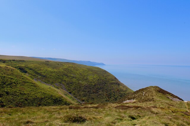
Selworthy Beacon
Selworthy Beacon is a hill and Marilyn of Exmoor in Somerset, England. It lies within the boundaries of Exmoor National Park, to the north of the village...
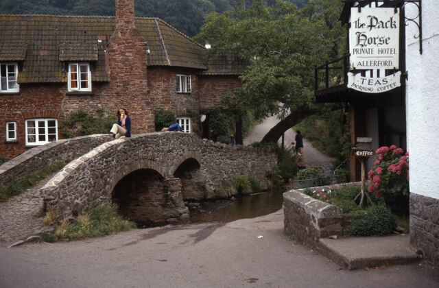
Allerford
Allerford is a village in the county of Somerset, England, located within Exmoor National Park, and is part of the parish of Selworthy in the district...

Holnicote Estate
Holnicote (pronounced "Hunnicutt") in the parish of Selworthy, West Somerset, England, is a historic estate consisting of 12,420 acres (5,026 hectares...

West Somerset Rural Life Museum and Victorian School
The West Somerset Rural Life Museum is a small museum in Allerford, Somerset, England. The building was built in 1821 as the village school and was closed...

Lynch Chapel Of Ease
The Anglican Lynch Chapel Of Ease in West Lynch, Selworthy, Somerset, England was built around 1530. It is a Grade II* listed building. == History == The...
East Myne
East Myne is a univallate Iron Age hill fort enclosure in the West Somerset district of Somerset, England. The hill fort is situated approximately 1.1...
Nearby Amenities
Located within 500m of 51.215,-3.553Have you been to Bury Castle?
Leave your review of Bury Castle below (or comments, questions and feedback).