Selworthy Plantation

Wood, Forest in Somerset Somerset West and Taunton

England

Selworthy Plantation

Thatched cottage at Bossington c.1970
Thatched cottage at Bossington c.1970 Credit: Ronald Searle

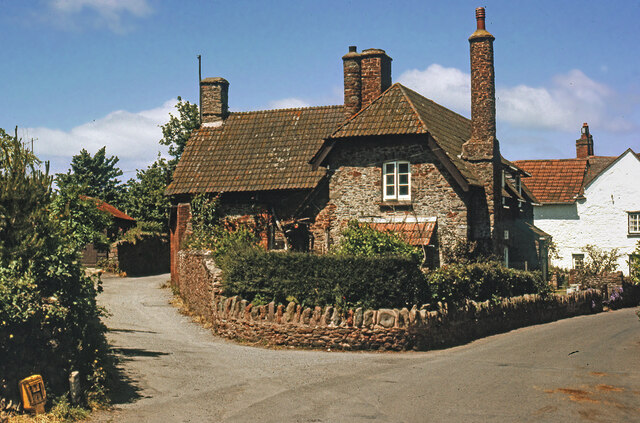
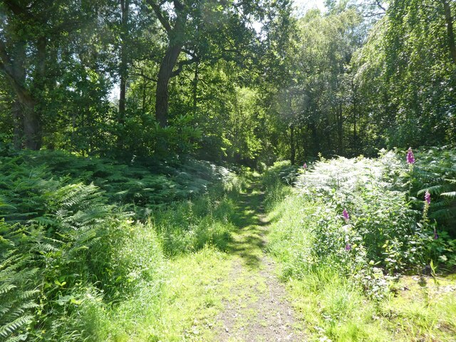
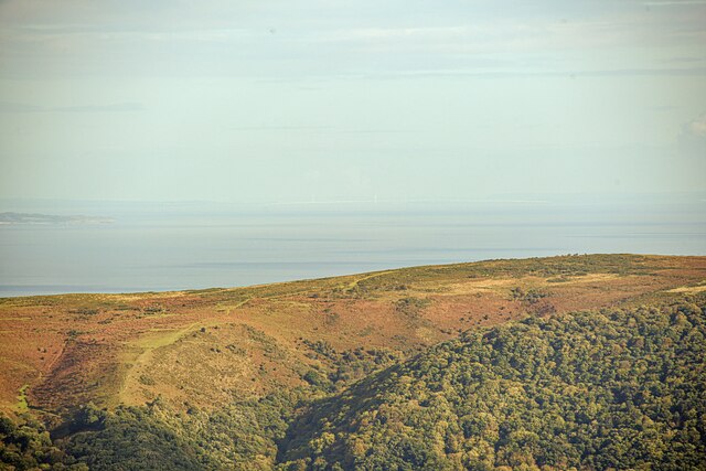
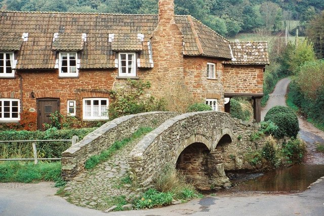
Selworthy Plantation is a picturesque woodland located in Somerset, England. Situated on the edge of the Exmoor National Park, this stunning plantation covers an area of approximately 200 hectares and is managed by the National Trust.

The plantation is characterized by its dense woodland of mainly coniferous trees, including Norway spruce, Douglas fir, and Scots pine. These trees create a lush and vibrant canopy that provides a haven for a variety of wildlife, including deer, birds, and small mammals.

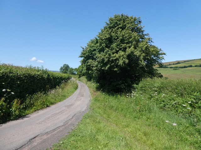
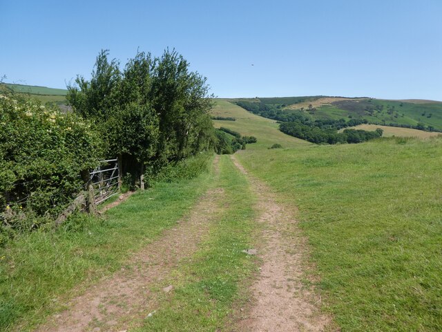
Selworthy Plantation offers visitors a tranquil and serene environment, perfect for leisurely walks and exploration. There are well-maintained footpaths that wind their way through the plantation, allowing visitors to immerse themselves in the beauty of nature. These paths offer breathtaking views of the surrounding countryside and provide an opportunity to spot various species of flora and fauna.

The plantation is also home to a number of historic features, such as ancient boundary banks and ditches, which add to its charm and allure. Additionally, there are several picnic areas and benches strategically placed throughout the plantation, providing the perfect spot for visitors to relax and enjoy a picnic amidst the natural beauty.

Selworthy Plantation is open to the public year-round and offers a range of activities for all ages. From nature walks and birdwatching to photography and picnicking, this enchanting woodland provides a peaceful escape from the hustle and bustle of everyday life. Whether you are a nature enthusiast or simply seeking a tranquil retreat, Selworthy Plantation is a must-visit destination in Somerset.

If you have any feedback on the listing, please let us know in the comments section below.

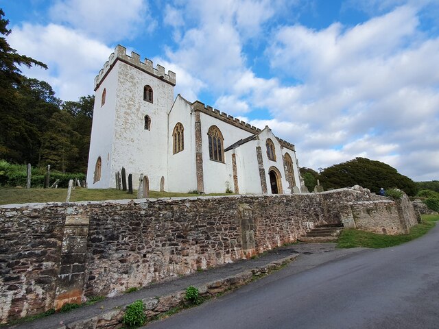
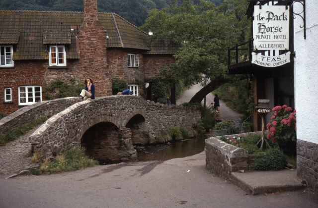
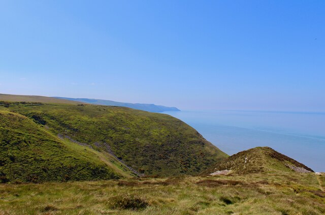
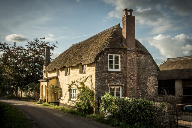
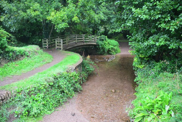
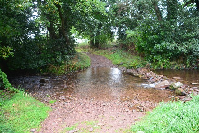
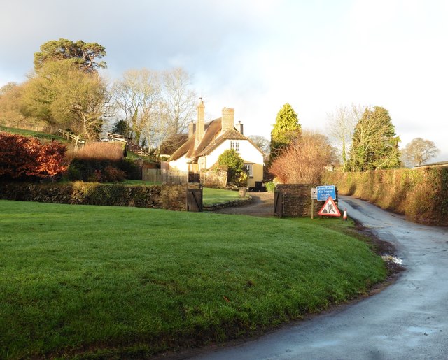
Selworthy Plantation Images

Images are sourced within 2km of 51.212894/-3.5556809 or Grid Reference SS9147. Thanks to Geograph Open Source API. All images are credited.

Thatched cottage at Bossington c.1970
All Saints' Church, Selworthy, Somerset All Saints' Church at Selworthy, Somerset. The Church also has an Ordnance Survey bench mark.
<a href="https://www.geograph.org.uk/photo/6999454">SS9146 : Ordnance Survey Bench Mark</a>
All Saints' Church, Selworthy, Somerset
All Saints' Church at Selworthy, Somerset. The Church also has an Ordnance Survey bench mark. SS9146 : Ordnance Survey Bench Mark
Ordnance Survey Bench Mark A very warn mark located at All Saints' Church, Selworthy. These marks were used by Ordnance Survey  for mapping purposes.
<a href="https://www.geograph.org.uk/photo/6999451">SS9146 : All Saints' Church, Selworthy, Somerset</a>
Ordnance Survey Bench Mark
A very warn mark located at All Saints' Church, Selworthy. These marks were used by Ordnance Survey for mapping purposes. SS9146 : All Saints' Church, Selworthy, Somerset
Allerford's packhorse bridge The bridge now only carries those on foot, other traffic takes the ford alongside.
Allerford's packhorse bridge
The bridge now only carries those on foot, other traffic takes the ford alongside.
South West Coast Path The South West Coast Path National Trail - 630 miles of superb coastal walking. From Minehead on the edge of the Exmoor National Park to the shores of Poole Harbour in Dorset. It is the longest of all Britain's National Trails.
Website: <span class="nowrap"><a title="http://www.southwestcoastpath.com/" rel="nofollow ugc noopener" href="http://www.southwestcoastpath.com/">Link</a><img style="margin-left:2px;" alt="External link" title="External link - shift click to open in new window" src="https://s1.geograph.org.uk/img/external.png" width="10" height="10"/></span>
South West Coast Path
The South West Coast Path National Trail - 630 miles of superb coastal walking. From Minehead on the edge of the Exmoor National Park to the shores of Poole Harbour in Dorset. It is the longest of all Britain's National Trails. Website: LinkExternal link
Allerford Post Office c.1970 Still the village Post Office to this day. Allerford, along with Bossington and Selworthy, is contained within the National Trust’s Holnicote Estate, which takes in over 12,000 acres of Exmoor coast and countryside.
Allerford Post Office c.1970
Still the village Post Office to this day. Allerford, along with Bossington and Selworthy, is contained within the National Trust’s Holnicote Estate, which takes in over 12,000 acres of Exmoor coast and countryside.
Ordnance Survey Rivet This OS rivet can be found on the small dam. It marks a point 246.639m above mean sea level.
Ordnance Survey Rivet
This OS rivet can be found on the small dam. It marks a point 246.639m above mean sea level.
Back road to Selworthy
Track to Hindon Farm
Little Headon Plantation
Luccombe : Bossington Hill Looking towards Bossington Hill and beyond to the Bristol Channel. The Prince of Wales Bridge and Severn Bridge can be seen in the very hazy distance.
Luccombe : Bossington Hill
Looking towards Bossington Hill and beyond to the Bristol Channel. The Prince of Wales Bridge and Severn Bridge can be seen in the very hazy distance.
Porlock : Bossington Hill Looking across to Bossington Hill and beyond to the Bristol Channel.
Porlock : Bossington Hill
Looking across to Bossington Hill and beyond to the Bristol Channel.
Ordnance Survey Cut Mark This OS cut mark can be found on the Methodist Chapel. It marks a point 17.654m above mean sea level.
Ordnance Survey Cut Mark
This OS cut mark can be found on the Methodist Chapel. It marks a point 17.654m above mean sea level.
Bossington Village
Bossington Village
Bossington Ford This ford is found beside North Bridge at Bossington.
Bossington Ford
This ford is found beside North Bridge at Bossington.
West Luccumbe Ford This ford on Horner Water is found at West Luccumbe.
West Luccumbe Ford
This ford on Horner Water is found at West Luccumbe.
Bossington Footbridge Bossington North Bridge
Bossington Footbridge
Bossington North Bridge
Thatched cottage, West Luccombe
Show me another place!

Selworthy Plantation is located at Grid Ref: SS9147 (Lat: 51.212894, Lng: -3.5556809)

Administrative County: Somerset

District: Somerset West and Taunton

Police Authority: Avon and Somerset

What 3 Words

///compacts.attends.vows. Near Porlock, Somerset

Related Wikis

Bury Castle, Selworthy

Bury Castle is an Iron Age hillfort near Selworthy, Somerset, England. It has been designated as a scheduled monument. == History == Bury Castle was built...

Selworthy

Selworthy is a small village and civil parish 5 kilometres (3 mi) from Minehead in Somerset, England. It is located in the National Trust's Holnicote Estate...

Holnicote Estate

Holnicote (pronounced "Hunnicutt") in the parish of Selworthy, West Somerset, England, is a historic estate consisting of 12,420 acres (5,026 hectares...

Selworthy Beacon

Selworthy Beacon is a hill and Marilyn of Exmoor in Somerset, England. It lies within the boundaries of Exmoor National Park, to the north of the village...

West Somerset Rural Life Museum and Victorian School

The West Somerset Rural Life Museum is a small museum in Allerford, Somerset, England. The building was built in 1821 as the village school and was closed...

Allerford

Allerford is a village in the county of Somerset, England, located within Exmoor National Park, and is part of the parish of Selworthy in the district...

Lynch Chapel Of Ease

The Anglican Lynch Chapel Of Ease in West Lynch, Selworthy, Somerset, England was built around 1530. It is a Grade II* listed building. == History == The...

Coleridge Way

The Coleridge Way is a 51-mile (82 km) long-distance trail in Somerset and Devon, England. It was opened in April 2005, and the route links several sites...

Nearby Amenities

Located within 500m of 51.212894,-3.5556809
Selworthy Farm
Tourism: guest_house
Lat/Long: 51.2093099/-3.5518356
Bury Castle
Historic: archaeological_site
Wikidata: Q5001077
Wikipedia: en:Bury Castle, Selworthy
Lat/Long: 51.2133916/-3.5511635
Bench
Lat/Long: 51.2106394/-3.5543374
Bench
Lat/Long: 51.2109519/-3.557025
Bench
Lat/Long: 51.2104394/-3.5532859
Bicycle: no
Horse: no
Lat/Long: 51.2133483/-3.5516203
The data included in this document is from www.openstreetmap.org. The data is made available under ODbL.

Have you been to Selworthy Plantation?

Leave your review of Selworthy Plantation below (or comments, questions and feedback).