Silver Firs
Wood, Forest in Somerset Somerset West and Taunton
England
Silver Firs

Silver Firs, Somerset, also known as Silver Firs Wood or Silver Firs Forest, is a picturesque woodland located in the county of Somerset, England. Covering an area of approximately 100 hectares, it is a popular destination for nature lovers and outdoor enthusiasts alike.
The woodland is characterized by its dense canopy of silver firs, which give the forest its name. These majestic trees create a tranquil and serene atmosphere, providing shade and shelter for a diverse range of flora and fauna. The forest floor is covered in a lush carpet of moss, ferns, and wildflowers, adding to its natural beauty.
Silver Firs is home to a variety of wildlife, including numerous bird species such as woodpeckers, owls, and songbirds. Small mammals like squirrels, rabbits, and hedgehogs can also be spotted scurrying through the undergrowth. The forest is a haven for nature photographers and birdwatchers, who can capture stunning images of the local wildlife in their natural habitat.
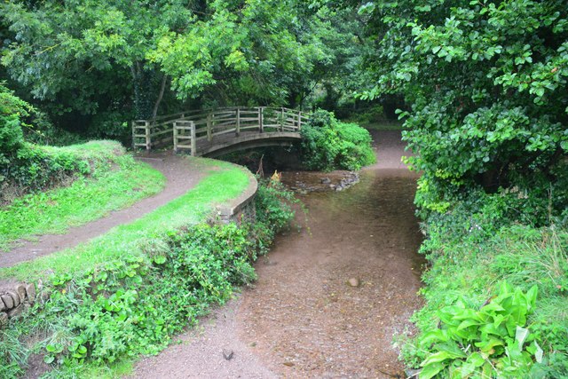
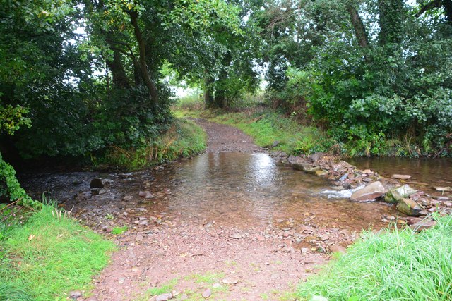
The woodland offers several walking trails, providing visitors with the opportunity to explore its hidden gems. These trails wind through the forest, leading to secluded clearings and peaceful streams. The scent of pine fills the air, creating a soothing and invigorating experience for those who venture into the woods.
Silver Firs, Somerset, is not only a place of natural beauty but also a valuable conservation area. Efforts are made to preserve and protect the forest, ensuring its long-term sustainability and the continued enjoyment of its visitors. With its serene ambiance and abundant wildlife, Silver Firs offers a tranquil escape from the hustle and bustle of everyday life.
If you have any feedback on the listing, please let us know in the comments section below.
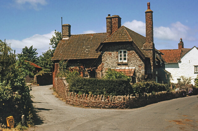
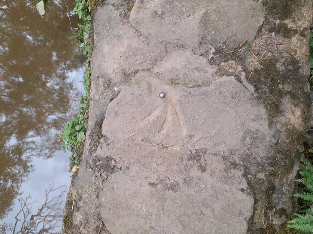
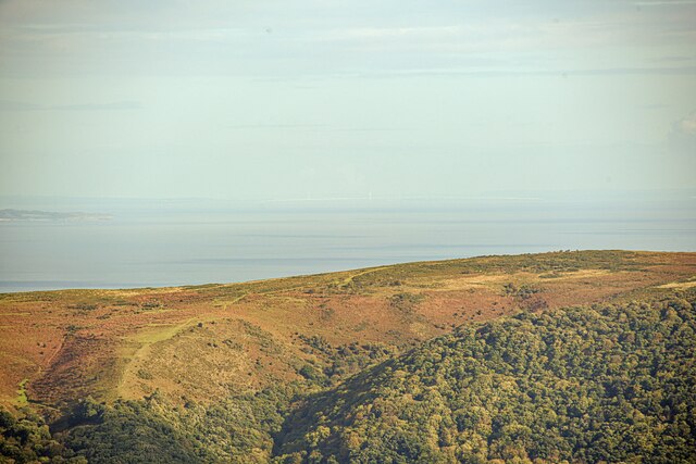
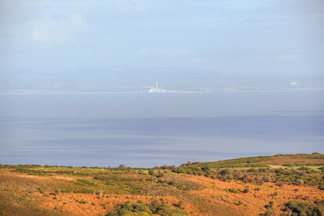
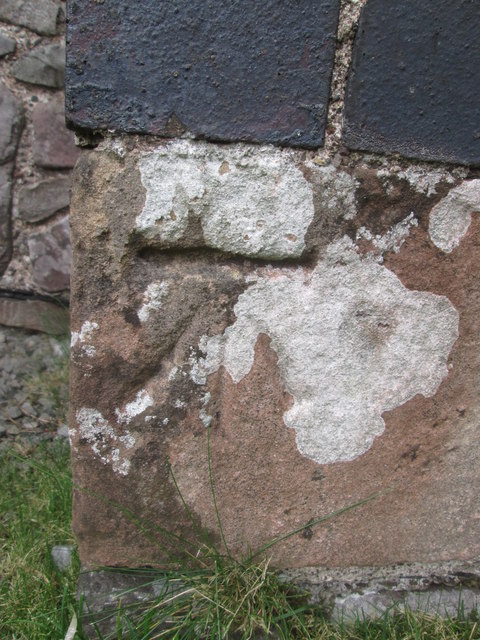
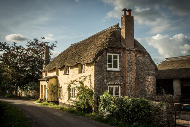
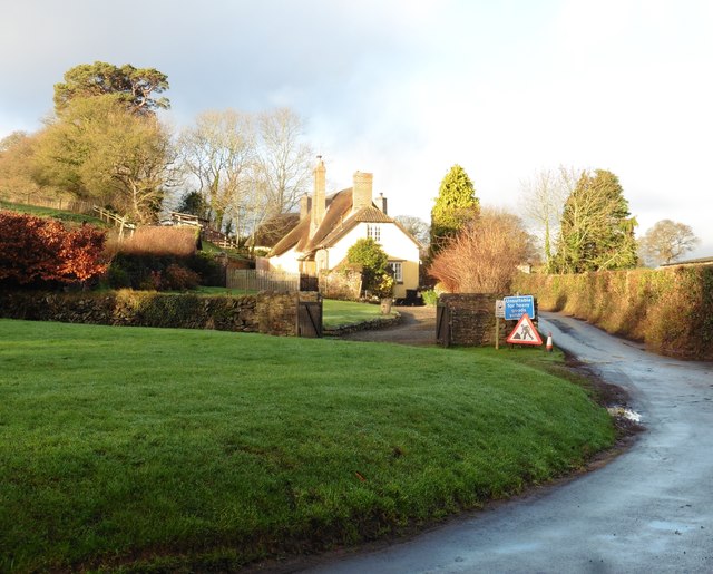
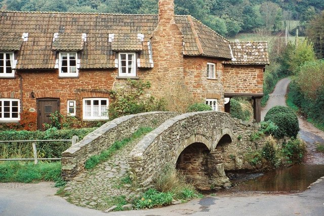
Silver Firs Images
Images are sourced within 2km of 51.214226/-3.5609805 or Grid Reference SS9147. Thanks to Geograph Open Source API. All images are credited.


Silver Firs is located at Grid Ref: SS9147 (Lat: 51.214226, Lng: -3.5609805)
Administrative County: Somerset
District: Somerset West and Taunton
Police Authority: Avon and Somerset
What 3 Words
///firm.severe.still. Near Porlock, Somerset
Related Wikis
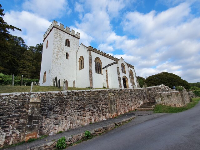
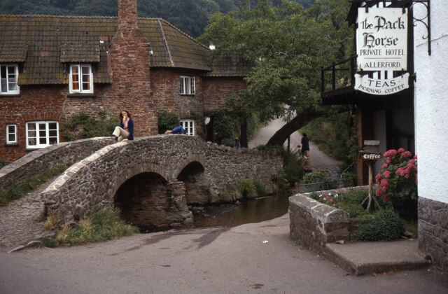
Allerford
Allerford is a village in the county of Somerset, England, located within Exmoor National Park, and is part of the parish of Selworthy in the district...

West Somerset Rural Life Museum and Victorian School
The West Somerset Rural Life Museum is a small museum in Allerford, Somerset, England. The building was built in 1821 as the village school and was closed...

Bury Castle, Selworthy
Bury Castle is an Iron Age hillfort near Selworthy, Somerset, England. It has been designated as a scheduled monument. == History == Bury Castle was built...

Selworthy
Selworthy is a small village and civil parish 5 kilometres (3 mi) from Minehead in Somerset, England. It is located in the National Trust's Holnicote Estate...

Holnicote Estate
Holnicote (pronounced "Hunnicutt") in the parish of Selworthy, West Somerset, England, is a historic estate consisting of 12,420 acres (5,026 hectares...
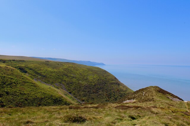
Selworthy Beacon
Selworthy Beacon is a hill and Marilyn of Exmoor in Somerset, England. It lies within the boundaries of Exmoor National Park, to the north of the village...

Lynch Chapel Of Ease
The Anglican Lynch Chapel Of Ease in West Lynch, Selworthy, Somerset, England was built around 1530. It is a Grade II* listed building. == History == The...
River Aller
The River Aller is a small river on Exmoor in Somerset, England. It rises as several small streams around Tivington and Huntscott and flows through the...
Nearby Amenities
Located within 500m of 51.214226,-3.5609805Have you been to Silver Firs?
Leave your review of Silver Firs below (or comments, questions and feedback).