Bury Castle

Heritage Site in Cornwall

England

Bury Castle

Rifle range, fiercely guarded by sheep I wonder if the sheep explode.
Rifle range, fiercely guarded by sheep Credit: Gareth

Bury Castle, located in Cornwall, England, is a historic heritage site that holds significant archaeological and historical importance. Situated on a hilltop near the village of St. Germans, the castle is believed to have been constructed during the Iron Age, with evidence of occupation dating back to the 3rd century BC.

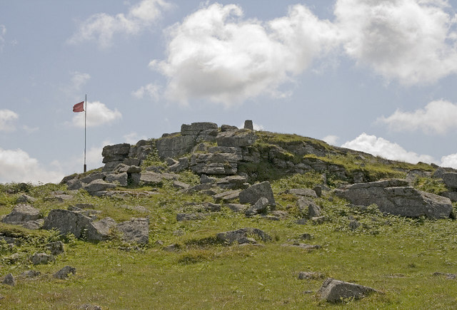
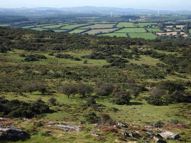
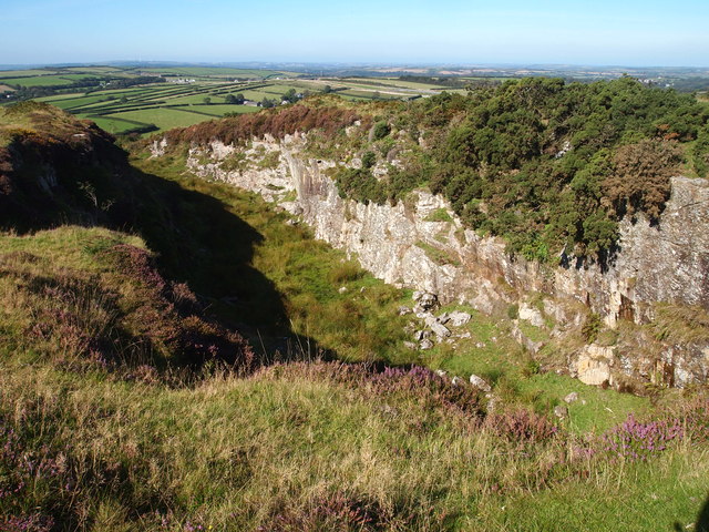
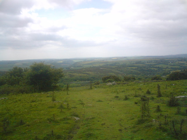
The castle, now in ruins, was built on a natural promontory, providing a strategic defensive position overlooking the surrounding countryside and the River Tiddy. The site covers an area of approximately 2 hectares and is enclosed by impressive ramparts, which are still visible today. These ramparts, made of earth and stone, were fortified with wooden palisades and ditches to enhance the castle's defenses.

During its occupation, Bury Castle served as a significant hillfort, protecting the local community and their livestock. It is believed that the site was inhabited until the Roman period, after which it gradually fell into disuse.

Excavations conducted in the 19th century uncovered a variety of artifacts, including Iron Age pottery, bronze objects, and human remains. These findings provided valuable insights into the lifestyle, trade, and defensive strategies of the ancient inhabitants.

Today, Bury Castle remains an important archaeological site and offers visitors a glimpse into the region's rich history. The site is managed by English Heritage, and visitors can explore the remaining earthworks, walk along the ancient ramparts, and appreciate the panoramic views of the surrounding landscape. Bury Castle stands as a testament to the ingenuity and resilience of its Iron Age inhabitants and serves as a reminder of Cornwall's ancient past.

If you have any feedback on the listing, please let us know in the comments section below.
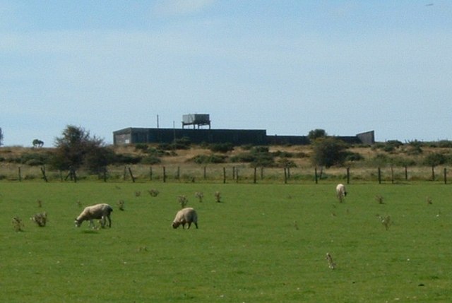
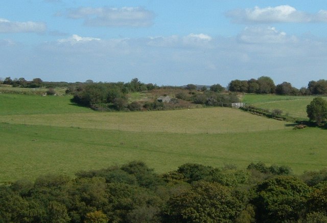
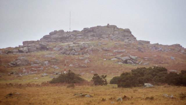
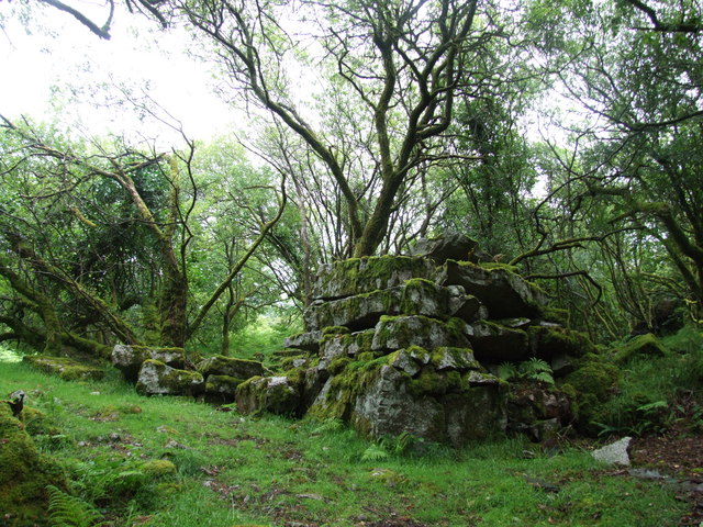
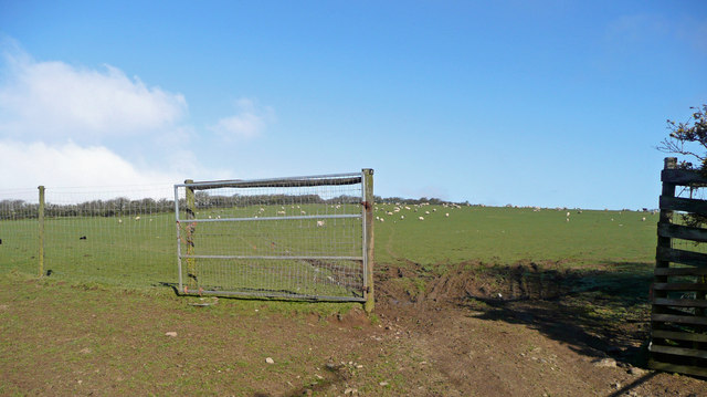
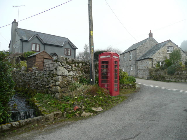
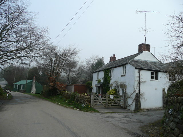
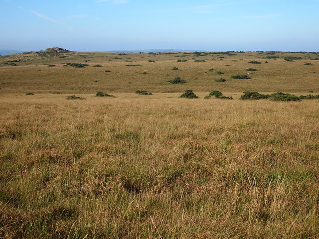
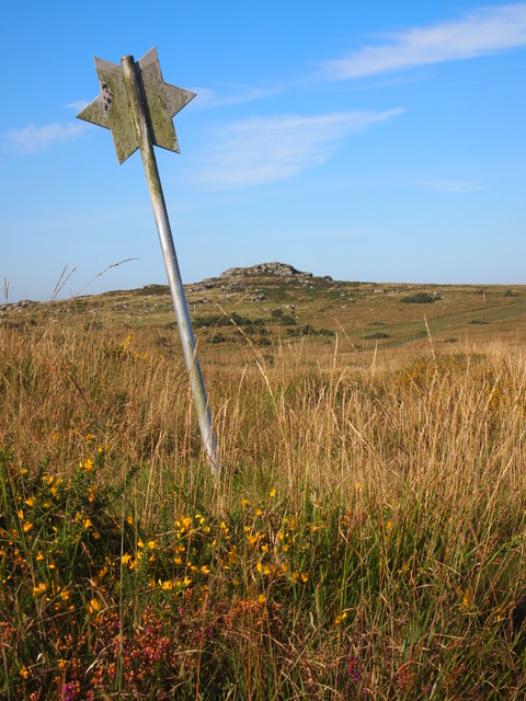
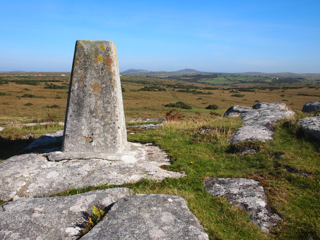
Bury Castle Images

Images are sourced within 2km of 50.495/-4.63 or Grid Reference SX1369. Thanks to Geograph Open Source API. All images are credited.

Rifle range, fiercely guarded by sheep I wonder if the sheep explode.
Rifle range, fiercely guarded by sheep
I wonder if the sheep explode.
Tremoreland, over fields I think I took a wrong lane.  I was supposed to end up a bit closer than this.
Tremoreland, over fields
I think I took a wrong lane. I was supposed to end up a bit closer than this.
St Bellarmin's Tor, Cardinham Moor The tor straddles the Ministry of Defence Millpool firing range boundary.  The picture shows range marker post (Centre L) and a pole on top of the tor from which a red flag is flown when the range is closed to the public. There is a "Gallery Range" for live small-arms firing and the whole area of Cardinham Moor is used for training with associated "pyrotechnics" and smoke grenades. To the right of the tor can just be seen the Trig Point plinth.
St Bellarmin's Tor, Cardinham Moor
The tor straddles the Ministry of Defence Millpool firing range boundary. The picture shows range marker post (Centre L) and a pole on top of the tor from which a red flag is flown when the range is closed to the public. There is a "Gallery Range" for live small-arms firing and the whole area of Cardinham Moor is used for training with associated "pyrotechnics" and smoke grenades. To the right of the tor can just be seen the Trig Point plinth.
Smoke Grenade, Cardinham Moor This discharged smoke grenade was found next to the bridle way crossing Cardinham Moor and was left behind after a training exercise.  
Notices warn walkers against picking up "undischarged ordnance" and although this did not fit the description, we left it well alone!
Smoke Grenade, Cardinham Moor
This discharged smoke grenade was found next to the bridle way crossing Cardinham Moor and was left behind after a training exercise. Notices warn walkers against picking up "undischarged ordnance" and although this did not fit the description, we left it well alone!
Industrial Remains Below the rock formation Corner Quoit are hidden the remains of 19th century quarrying.
Industrial Remains
Below the rock formation Corner Quoit are hidden the remains of 19th century quarrying.
Sheep pasture at Tremoreland View north-west uphill towards Great Care Hill on the southern edge of Bodmin Moor.
Sheep pasture at Tremoreland
View north-west uphill towards Great Care Hill on the southern edge of Bodmin Moor.
Cottages and 'phone box in Millpool A village tucked into the upper valley of the Cardinham Water on the southern edge of Bodmin Moor.
Cottages and 'phone box in Millpool
A village tucked into the upper valley of the Cardinham Water on the southern edge of Bodmin Moor.
Cottage at Millpool This is a hamlet in the parish of Cardinham.
Cottage at Millpool
This is a hamlet in the parish of Cardinham.
Millpool Methodist church Clearly a thriving church as evidenced by two extensions dated in the 1990's.
Millpool Methodist church
Clearly a thriving church as evidenced by two extensions dated in the 1990's.
Cardinham Moor Although Open Access, a significant area is reserved by the MoD when the nearby rifle range is in use. On this visit red warning flags were flying from the mining waste tip in the distance and from nearby St Bellarmin's Tor.
Cardinham Moor
Although Open Access, a significant area is reserved by the MoD when the nearby rifle range is in use. On this visit red warning flags were flying from the mining waste tip in the distance and from nearby St Bellarmin's Tor.
St  Bellarmin's Tor On this visit, on a Summer Saturday afternoon, we were surprised to find the range flags flying and the sound of gunfire coming from the rifle range.
St Bellarmin's Tor
On this visit, on a Summer Saturday afternoon, we were surprised to find the range flags flying and the sound of gunfire coming from the rifle range.
Millpool village Could the green building be the local snooker room or is it something else?
Millpool village
Could the green building be the local snooker room or is it something else?
Cardinham Moor St Bellarmin's Tor in the far distance.
Cardinham Moor
St Bellarmin's Tor in the far distance.
Marker, Cardinham Moor Ranges Reminiscent of 'antiquity stars' on Exmoor.  St Bellarmin's Tor in the distance.
Marker, Cardinham Moor Ranges
Reminiscent of 'antiquity stars' on Exmoor. St Bellarmin's Tor in the distance.
Trig Point, St Bellarmin's Tor
The View From St Bellarmin's Tor
Quarry Near St Bellarmin's Tor
Cairns at the top Another image uploaded of the DofE silver expedition we undertook.
Cairns at the top
Another image uploaded of the DofE silver expedition we undertook.
Show me another place!

Bury Castle is located at Grid Ref: SX1369 (Lat: 50.495, Lng: -4.63)

Unitary Authority: Cornwall

Police Authority: Devon and Cornwall

What 3 Words

///channel.mixing.agenda. Near Helland, Cornwall

Related Wikis

Nearby Amenities

Located within 500m of 50.495,-4.63
Bury Castle
Archaeological Site: fortification
Fortification Type: hill_fort
Historic: archaeological_site
Is In County: Cornwall
Source: NPE
Tourism: attraction
Website: https://www.pastscape.org.uk/hob.aspx?hob_id=432566
Wikidata: Q17641882
Lat/Long: 50.4965543/-4.6305735
The data included in this document is from www.openstreetmap.org. The data is made available under ODbL.

Have you been to Bury Castle?

Leave your review of Bury Castle below (or comments, questions and feedback).