Bury Camp

Heritage Site in Wiltshire

England

Bury Camp

Gates to St. James' Church, North Wraxall The gateway to the church of St. James in North Wraxall.
Gates to St. James' Church, North Wraxall Credit: Kevin Pearson

Bury Camp, located in the county of Wiltshire, England, is a significant heritage site that has been attracting visitors for centuries. Dating back to the Iron Age, this ancient hillfort sits atop an imposing hill, offering breathtaking panoramic views of the surrounding landscape. The site covers a total area of approximately 10 acres, with the fortification itself spanning over 600 feet in diameter.

The hillfort is encircled by sturdy earthworks, consisting of a series of concentric ditches and ramparts, which were built as a defensive measure to protect the settlement. These fortifications provide valuable insights into the strategic and military practices of the Iron Age inhabitants. The earthworks still stand today, although they have undergone some erosion and damage over time.

Excavations at Bury Camp have unearthed a wealth of archaeological artifacts, including pottery fragments, tools, and animal bones. These findings have shed light on the daily lives and activities of the people who once occupied the hillfort. The site is believed to have been occupied from the late Bronze Age through the Iron Age and possibly into the Roman period.

Bury Camp is not only of historical importance but also offers a picturesque setting for outdoor enthusiasts. The surrounding countryside is abundant with wildlife, making it a popular spot for nature lovers and birdwatchers. The hillfort is easily accessible, with nearby parking and footpaths leading visitors to the summit.

Overall, Bury Camp stands as a testament to the ancient civilizations that once thrived in Wiltshire, offering a glimpse into their lives and leaving visitors in awe of the region's rich cultural heritage.

If you have any feedback on the listing, please let us know in the comments section below.
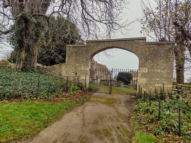
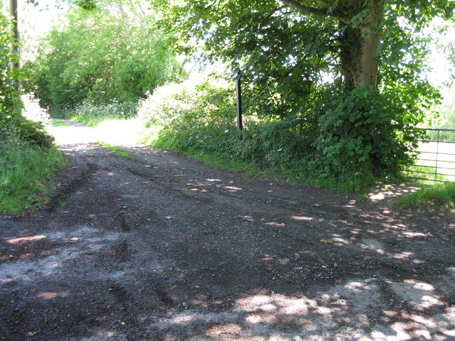
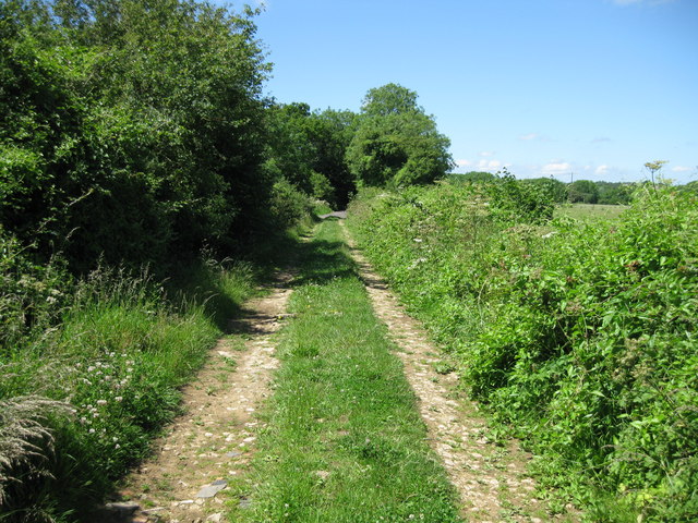
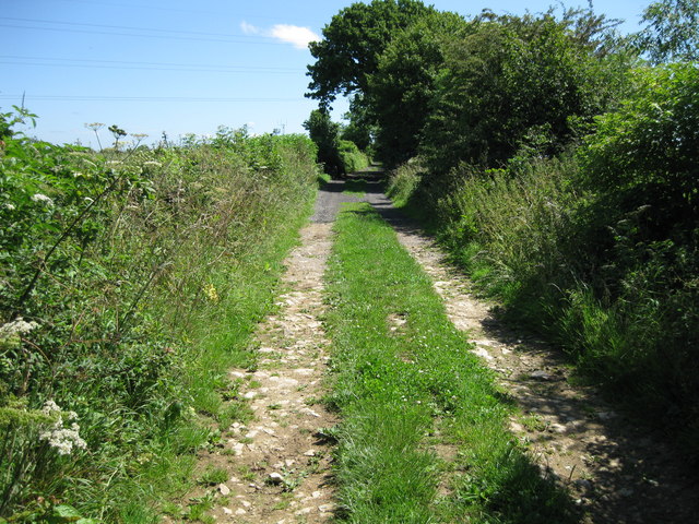
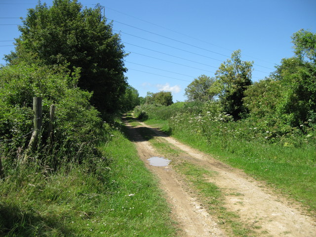
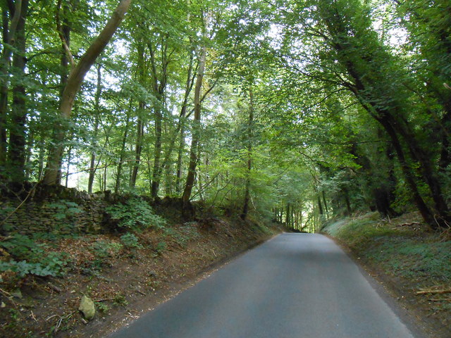
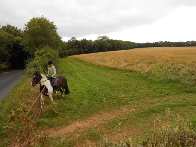
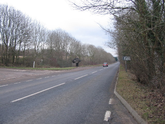
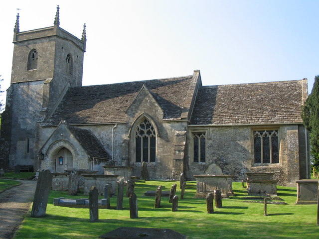
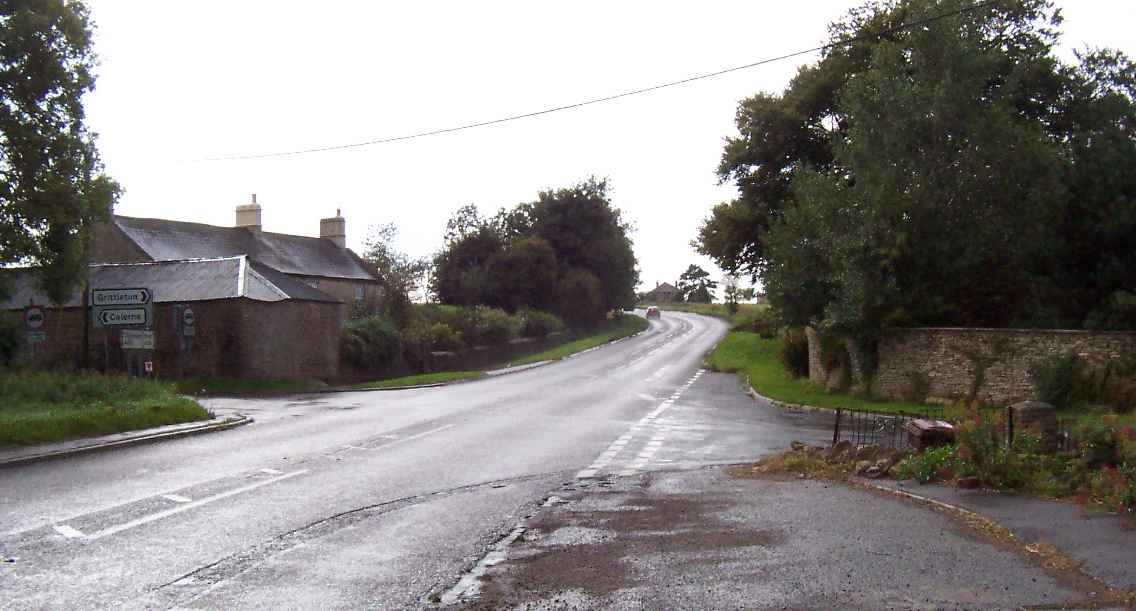
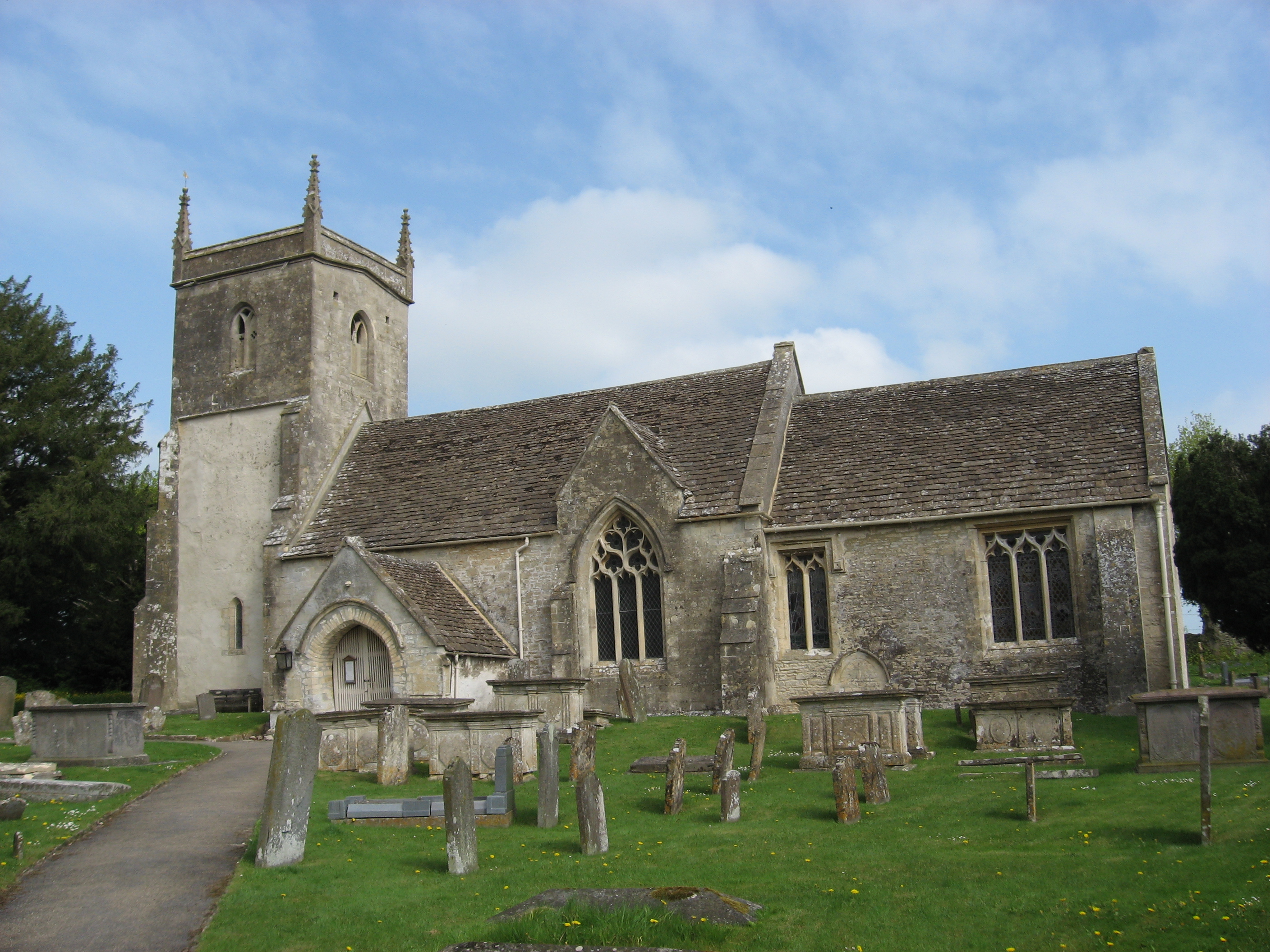
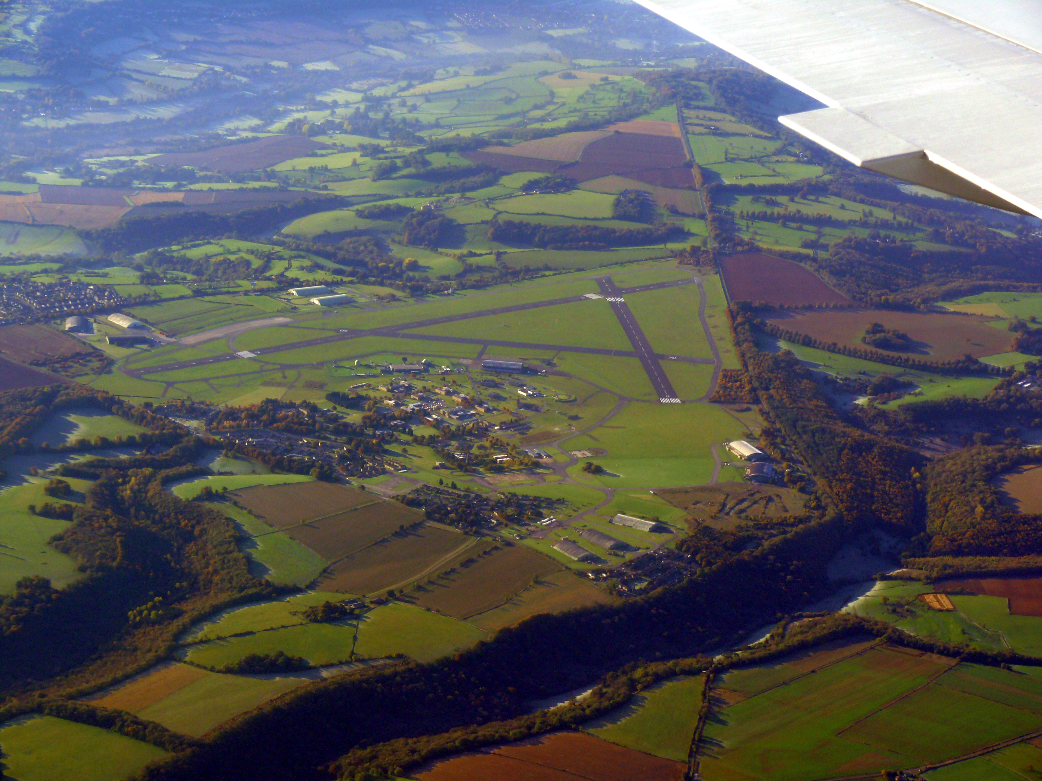
Bury Camp Images

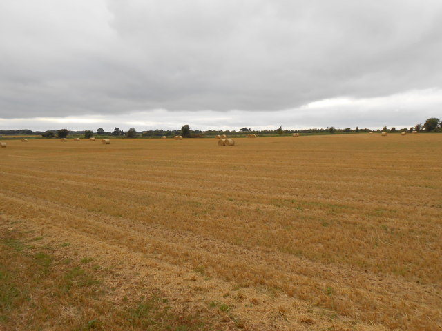
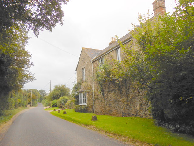
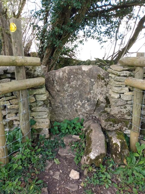
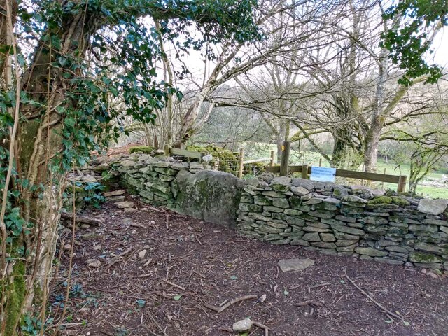
Images are sourced within 2km of 51.46/-2.267 or Grid Reference ST8173. Thanks to Geograph Open Source API. All images are credited.

Gates to St. James' Church, North Wraxall The gateway to the church of St. James in North Wraxall.
Gates to St. James' Church, North Wraxall
The gateway to the church of St. James in North Wraxall.
The Old Coach Road The Old Coach Road is now a byway.  It leaves the tarmac lane between North Wraxall and the A420 at this point and continues roughly eastwards for a little over 2km to Ford village on the A420.
The Old Coach Road
The Old Coach Road is now a byway. It leaves the tarmac lane between North Wraxall and the A420 at this point and continues roughly eastwards for a little over 2km to Ford village on the A420.
Looking west along The Old Coach Road The byway has a good stone surface at this point.
Looking west along The Old Coach Road
The byway has a good stone surface at this point.
Looking east along The Old Coach Road
The Old Coach Road Byway
Old Hangars At Colerne Airfield This airfield used to house an active RAF base but now it is mainly used by flying schools and Air Training Corps groups. The entrance is just off the old Fosse Way.
Old Hangars At Colerne Airfield
This airfield used to house an active RAF base but now it is mainly used by flying schools and Air Training Corps groups. The entrance is just off the old Fosse Way.
Fosse Way This shows the line of the old Roman road as it heads north and starts to descend into the valley of the Doncombe Brook. The road also make its first significant deviation from a straight line after arriving on the high ground at Bannerdown above Batheaston 4km to the south.
Fosse Way
This shows the line of the old Roman road as it heads north and starts to descend into the valley of the Doncombe Brook. The road also make its first significant deviation from a straight line after arriving on the high ground at Bannerdown above Batheaston 4km to the south.
Horse Rider arriving at the Fosse Way A footpath goes off across the field in the right foreground. The horse rider was arriving at the gate after having ridden round the field in the background. The modern road following the line of the Fosse Way can be seen on the left. There was a gap next to the gate so it was unnecessary for the rider to open the gate.
Horse Rider arriving at the Fosse Way
A footpath goes off across the field in the right foreground. The horse rider was arriving at the gate after having ridden round the field in the background. The modern road following the line of the Fosse Way can be seen on the left. There was a gap next to the gate so it was unnecessary for the rider to open the gate.
Fields at Upper Wraxall All that was left in this large wheat field after harvesting was a few round bales of straw and some stubble.It is just off the Fosse Way
Fields at Upper Wraxall
All that was left in this large wheat field after harvesting was a few round bales of straw and some stubble.It is just off the Fosse Way
Halls Barn Farm Situated right on the Fosse Way just west of North Wraxall this is a large working farm with a considerable number of buildings on both sides of the old Roman road.
Halls Barn Farm
Situated right on the Fosse Way just west of North Wraxall this is a large working farm with a considerable number of buildings on both sides of the old Roman road.
Stone Stile, Colerne GS5701 On Gloucestershire footpath LMA/38 NW of the airfield looking West. The view looking East is <a href="https://www.geograph.org.uk/photo/7249155">ST7973 : Stone Stile, Colerne GS5701</a>.
Stone Stile, Colerne GS5701
On Gloucestershire footpath LMA/38 NW of the airfield looking West. The view looking East is ST7973 : Stone Stile, Colerne GS5701.
Stone Stile, Colerne GS5701 On Gloucestershire footpath LMA/38 NW of the airfield looking East. The view looking West is <a href="https://www.geograph.org.uk/photo/7249153">ST7973 : Stone Stile, Colerne GS5701</a>.
Stone Stile, Colerne GS5701
On Gloucestershire footpath LMA/38 NW of the airfield looking East. The view looking West is ST7973 : Stone Stile, Colerne GS5701.
Bridge over Doncombe Brook A view of the bridge over Doncombe Brook on the minor road from the A420 at The Shoe to Batheaston via Banner Down. The junction on the left is Doncombe Lane which goes to Colerne via the eastern perimetr of RAF Colerne. At right is the junction of Star Lane.
Bridge over Doncombe Brook
A view of the bridge over Doncombe Brook on the minor road from the A420 at The Shoe to Batheaston via Banner Down. The junction on the left is Doncombe Lane which goes to Colerne via the eastern perimetr of RAF Colerne. At right is the junction of Star Lane.
Road to Colerne past the Camp Steep hill, gets very icy in winter
Road to Colerne past the Camp
Steep hill, gets very icy in winter
The Shoe at The Shoe This used to be The Shoe pub until the early 2000s (IIRC)
The Shoe at The Shoe
This used to be The Shoe pub until the early 2000s (IIRC)
Lucknam Park Entrance to the Lucknam Park Hotel estate
Lucknam Park
Entrance to the Lucknam Park Hotel estate
A420 approaching Ford A view looking east along the A420 at the junction with the minor road to North Wraxall. A rustic bus shelter survives on the opposite side of the road.
A420 approaching Ford
A view looking east along the A420 at the junction with the minor road to North Wraxall. A rustic bus shelter survives on the opposite side of the road.
St. James, North Wraxall A view looking north across the graveyard of the church of St. James the Great at North Wraxall. The nave, chancel and tower were rebuilt in the 13th century, the porch being the only remaining Norman feature. The church contains a large white marble tomb known as the Methuen Chapel.
St. James, North Wraxall
A view looking north across the graveyard of the church of St. James the Great at North Wraxall. The nave, chancel and tower were rebuilt in the 13th century, the porch being the only remaining Norman feature. The church contains a large white marble tomb known as the Methuen Chapel.
Show me another place!

Bury Camp is located at Grid Ref: ST8173 (Lat: 51.46, Lng: -2.267)

Unitary Authority: Wiltshire

Police Authority: Wiltshire

What 3 Words

///assembles.lyricist.jumbo. Near North Wraxall, Wiltshire

Related Wikis

Nearby Amenities

Located within 500m of 51.46,-2.267
Barrier: bollard
Lat/Long: 51.4564127/-2.2655202
Power: pole
Lat/Long: 51.4573663/-2.2725311
Power: pole
Transformer: distribution
Lat/Long: 51.4581493/-2.2721703
The data included in this document is from www.openstreetmap.org. The data is made available under ODbL.

Have you been to Bury Camp?

Leave your review of Bury Camp below (or comments, questions and feedback).