Sewell Wood

Wood, Forest in Wiltshire

England

Sewell Wood

Gates to St. James' Church, North Wraxall The gateway to the church of St. James in North Wraxall.
Gates to St. James' Church, North Wraxall Credit: Kevin Pearson

Sewell Wood is a quaint and picturesque woodland located in the county of Wiltshire, England. Covering an area of approximately 100 acres, this woodland is known for its natural beauty and diverse range of flora and fauna.

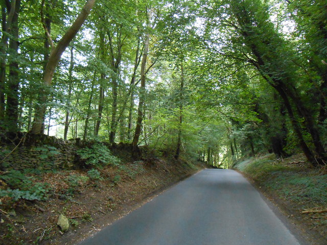
The wood is predominantly made up of deciduous trees such as oak, beech, and birch, which create a stunning canopy of vibrant colors during autumn. The forest floor is adorned with a carpet of bluebells in the spring, creating a breathtaking sight for visitors.

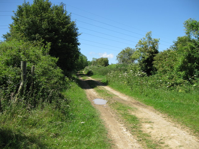
Sewell Wood is popular with nature enthusiasts and hikers due to its extensive network of well-maintained walking trails. The trails wind through the wood, allowing visitors to explore its hidden treasures, including a small stream that meanders through the trees.

Wildlife can be spotted throughout the woodland, with sightings of deer, rabbits, and various species of birds being common. The wood is also home to a variety of insects, including butterflies and dragonflies, which thrive in the diverse ecosystem.

The wood is managed by a local conservation organization, ensuring that it remains a protected and well-preserved natural habitat. Visitors can enjoy the tranquility and serenity of the wood, immersing themselves in its peaceful atmosphere and enjoying the sounds of nature.

Overall, Sewell Wood offers a captivating experience for nature lovers, providing a haven of beauty and tranquility in the heart of Wiltshire.

If you have any feedback on the listing, please let us know in the comments section below.
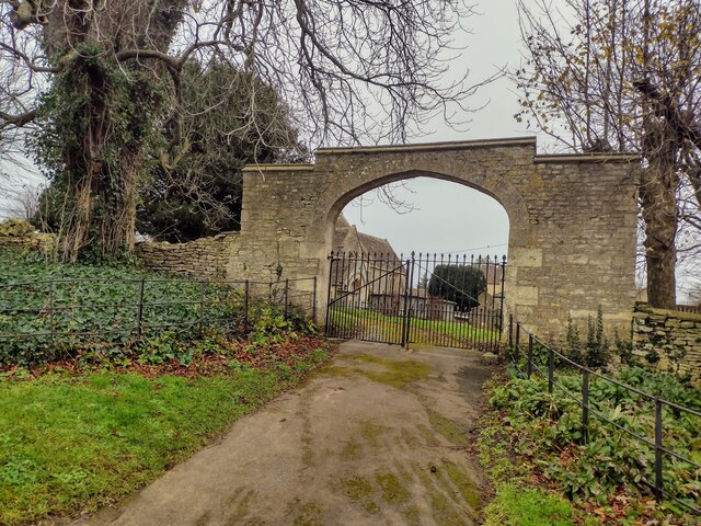
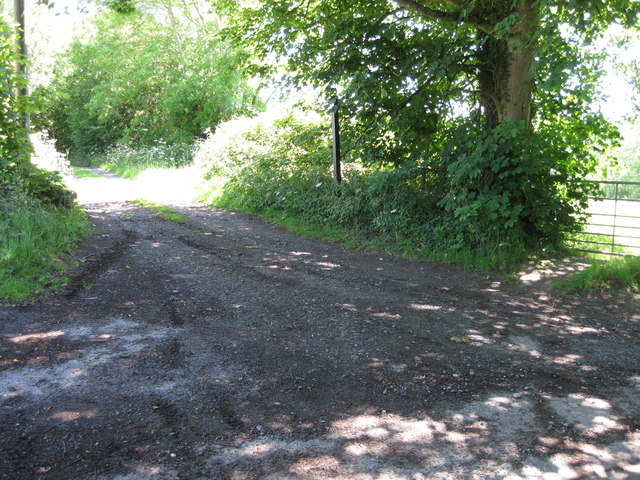
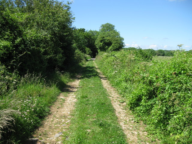
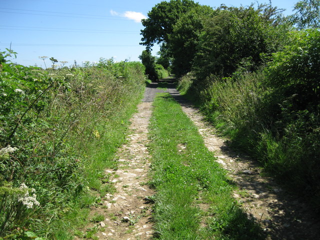
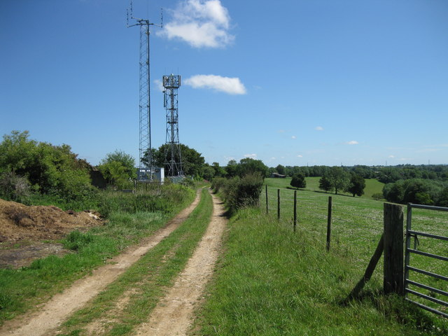
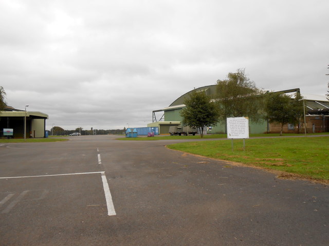
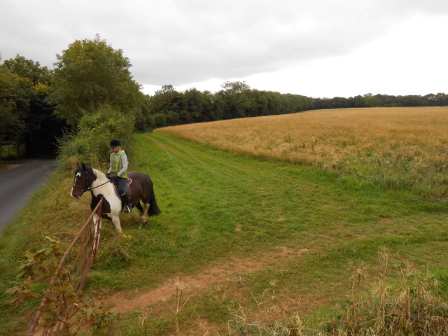
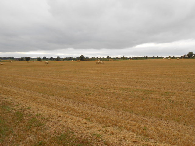
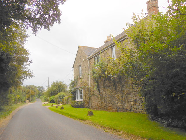
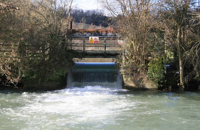
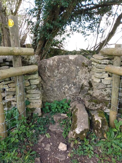
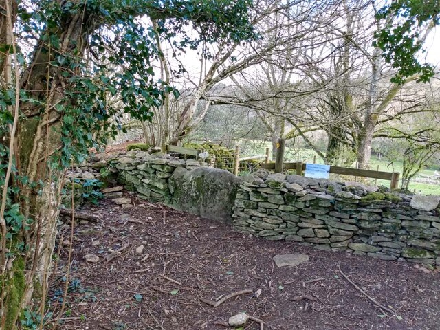
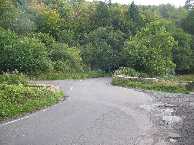
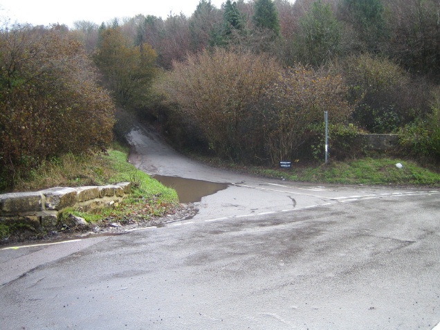
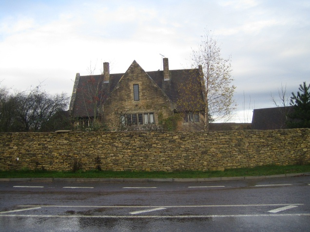
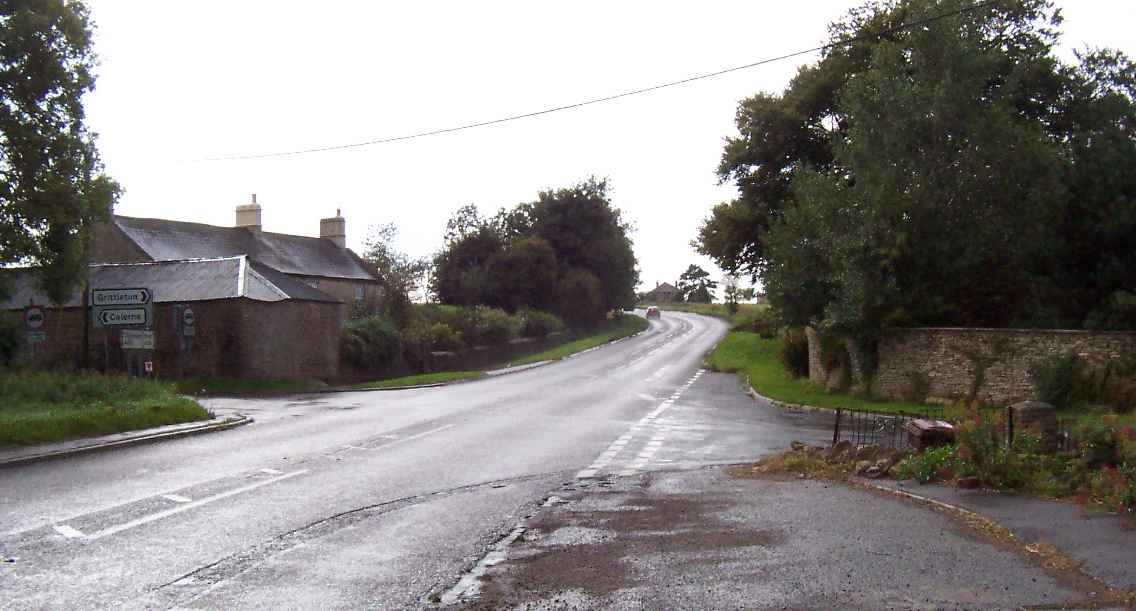
Sewell Wood Images

Images are sourced within 2km of 51.459219/-2.2625862 or Grid Reference ST8173. Thanks to Geograph Open Source API. All images are credited.

Gates to St. James' Church, North Wraxall The gateway to the church of St. James in North Wraxall.
Gates to St. James' Church, North Wraxall
The gateway to the church of St. James in North Wraxall.
St James, North Wraxall: January 2024
The Old Coach Road The Old Coach Road is now a byway.  It leaves the tarmac lane between North Wraxall and the A420 at this point and continues roughly eastwards for a little over 2km to Ford village on the A420.
The Old Coach Road
The Old Coach Road is now a byway. It leaves the tarmac lane between North Wraxall and the A420 at this point and continues roughly eastwards for a little over 2km to Ford village on the A420.
Looking west along The Old Coach Road The byway has a good stone surface at this point.
Looking west along The Old Coach Road
The byway has a good stone surface at this point.
Looking east along The Old Coach Road
Aerials on the byway The Old Coach Road provides access to new aerial masts for mobile phones
Aerials on the byway
The Old Coach Road provides access to new aerial masts for mobile phones
The Old Coach Road Byway
Old Hangars At Colerne Airfield This airfield used to house an active RAF base but now it is mainly used by flying schools and Air Training Corps groups. The entrance is just off the old Fosse Way.
Old Hangars At Colerne Airfield
This airfield used to house an active RAF base but now it is mainly used by flying schools and Air Training Corps groups. The entrance is just off the old Fosse Way.
Fosse Way This shows the line of the old Roman road as it heads north and starts to descend into the valley of the Doncombe Brook. The road also make its first significant deviation from a straight line after arriving on the high ground at Bannerdown above Batheaston 4km to the south.
Fosse Way
This shows the line of the old Roman road as it heads north and starts to descend into the valley of the Doncombe Brook. The road also make its first significant deviation from a straight line after arriving on the high ground at Bannerdown above Batheaston 4km to the south.
Horse Rider arriving at the Fosse Way A footpath goes off across the field in the right foreground. The horse rider was arriving at the gate after having ridden round the field in the background. The modern road following the line of the Fosse Way can be seen on the left. There was a gap next to the gate so it was unnecessary for the rider to open the gate.
Horse Rider arriving at the Fosse Way
A footpath goes off across the field in the right foreground. The horse rider was arriving at the gate after having ridden round the field in the background. The modern road following the line of the Fosse Way can be seen on the left. There was a gap next to the gate so it was unnecessary for the rider to open the gate.
Fields at Upper Wraxall All that was left in this large wheat field after harvesting was a few round bales of straw and some stubble.It is just off the Fosse Way
Fields at Upper Wraxall
All that was left in this large wheat field after harvesting was a few round bales of straw and some stubble.It is just off the Fosse Way
Halls Barn Farm Situated right on the Fosse Way just west of North Wraxall this is a large working farm with a considerable number of buildings on both sides of the old Roman road.
Halls Barn Farm
Situated right on the Fosse Way just west of North Wraxall this is a large working farm with a considerable number of buildings on both sides of the old Roman road.
By Brook - Slaughterford Gate A sluice operated by the Environment Agency on the By Brook near Slaughterford.
By Brook - Slaughterford Gate
A sluice operated by the Environment Agency on the By Brook near Slaughterford.
Stone Stile, Colerne GS5701 On Gloucestershire footpath LMA/38 NW of the airfield looking West. The view looking East is <a href="https://www.geograph.org.uk/photo/7249155">ST7973 : Stone Stile, Colerne GS5701</a>.
Stone Stile, Colerne GS5701
On Gloucestershire footpath LMA/38 NW of the airfield looking West. The view looking East is ST7973 : Stone Stile, Colerne GS5701.
Stone Stile, Colerne GS5701 On Gloucestershire footpath LMA/38 NW of the airfield looking East. The view looking West is <a href="https://www.geograph.org.uk/photo/7249153">ST7973 : Stone Stile, Colerne GS5701</a>.
Stone Stile, Colerne GS5701
On Gloucestershire footpath LMA/38 NW of the airfield looking East. The view looking West is ST7973 : Stone Stile, Colerne GS5701.
Bridge over Doncombe Brook A view of the bridge over Doncombe Brook on the minor road from the A420 at The Shoe to Batheaston via Banner Down. The junction on the left is Doncombe Lane which goes to Colerne via the eastern perimetr of RAF Colerne. At right is the junction of Star Lane.
Bridge over Doncombe Brook
A view of the bridge over Doncombe Brook on the minor road from the A420 at The Shoe to Batheaston via Banner Down. The junction on the left is Doncombe Lane which goes to Colerne via the eastern perimetr of RAF Colerne. At right is the junction of Star Lane.
Road to Colerne past the Camp Steep hill, gets very icy in winter
Road to Colerne past the Camp
Steep hill, gets very icy in winter
The Shoe at The Shoe This used to be The Shoe pub until the early 2000s (IIRC)
The Shoe at The Shoe
This used to be The Shoe pub until the early 2000s (IIRC)
Show me another place!

Sewell Wood is located at Grid Ref: ST8173 (Lat: 51.459219, Lng: -2.2625862)

Unitary Authority: Wiltshire

Police Authority: Wiltshire

What 3 Words

///sprayer.padlock.bags. Near North Wraxall, Wiltshire

Related Wikis

Nearby Amenities

Located within 500m of 51.459219,-2.2625862
Barrier: bollard
Lat/Long: 51.4564127/-2.2655202
Ford: yes
Lat/Long: 51.4618456/-2.2599855
The data included in this document is from www.openstreetmap.org. The data is made available under ODbL.

Have you been to Sewell Wood?

Leave your review of Sewell Wood below (or comments, questions and feedback).