Doncombe Bottom

Valley in Wiltshire

England

Doncombe Bottom

Gates to St. James' Church, North Wraxall The gateway to the church of St. James in North Wraxall.
Gates to St. James' Church, North Wraxall Credit: Kevin Pearson

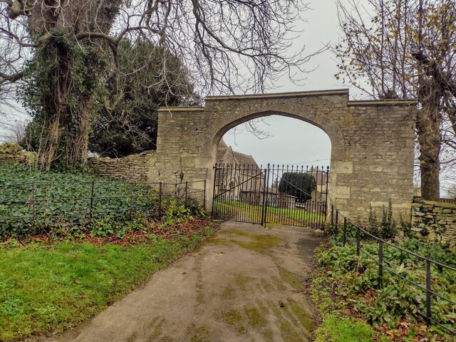
Doncombe Bottom is a picturesque valley located in the county of Wiltshire, England. Situated in the southern part of the county, it is nestled between the rolling hills of the Cotswolds and the Salisbury Plain. The valley is named after the small hamlet of Doncombe, which is located within its boundaries.

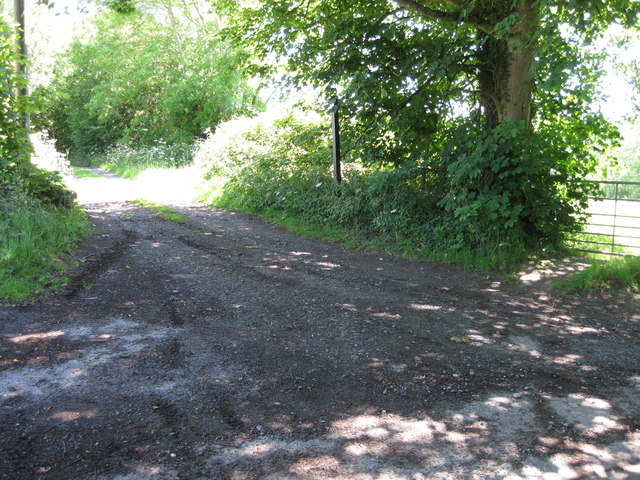
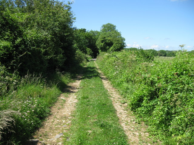
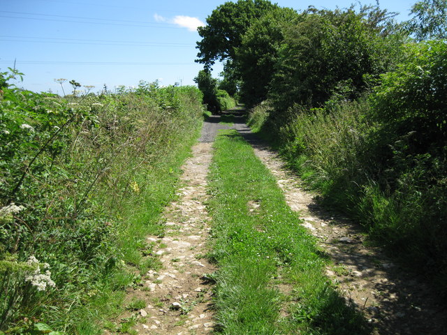
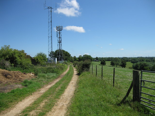
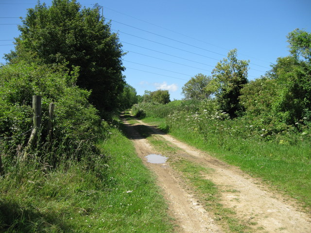
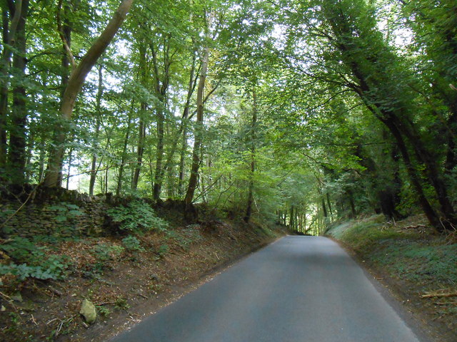
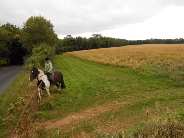
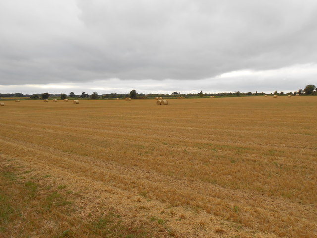
This idyllic valley is known for its natural beauty, with its lush green meadows, meandering streams, and dense woodlands. The landscape is a mix of open fields, hedgerows, and small copses, creating a diverse and rich habitat for a variety of wildlife.

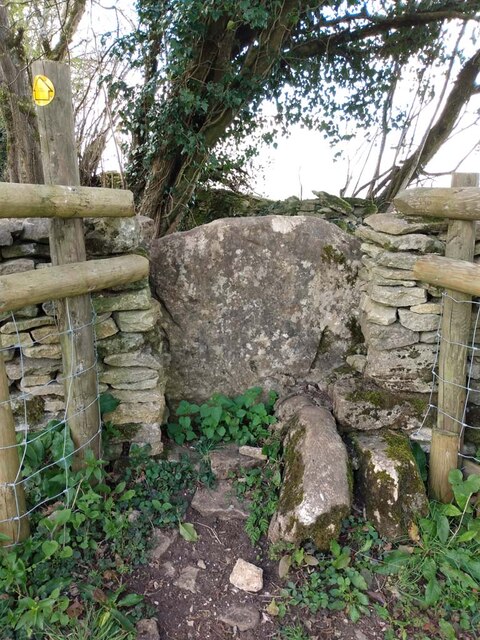
Doncombe Bottom is popular among nature enthusiasts and hikers due to its extensive network of footpaths and bridleways. These trails offer stunning views of the surrounding countryside and provide opportunities to explore the valley's natural wonders. The area is also home to several species of birds, including buzzards, kestrels, and skylarks, making it a haven for birdwatchers.

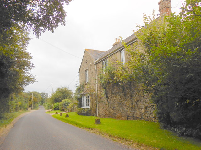
Historically, Doncombe Bottom has been inhabited since ancient times, with evidence of prehistoric settlements in the area. The valley's fertile soil has attracted human settlement throughout the ages, and there are remnants of old farmsteads and buildings that reflect its agricultural past.

Today, Doncombe Bottom remains a tranquil and unspoiled part of Wiltshire's countryside. Its peaceful ambiance and captivating natural beauty make it a popular destination for those seeking a rural escape or a place to reconnect with nature.

If you have any feedback on the listing, please let us know in the comments section below.

Doncombe Bottom Images

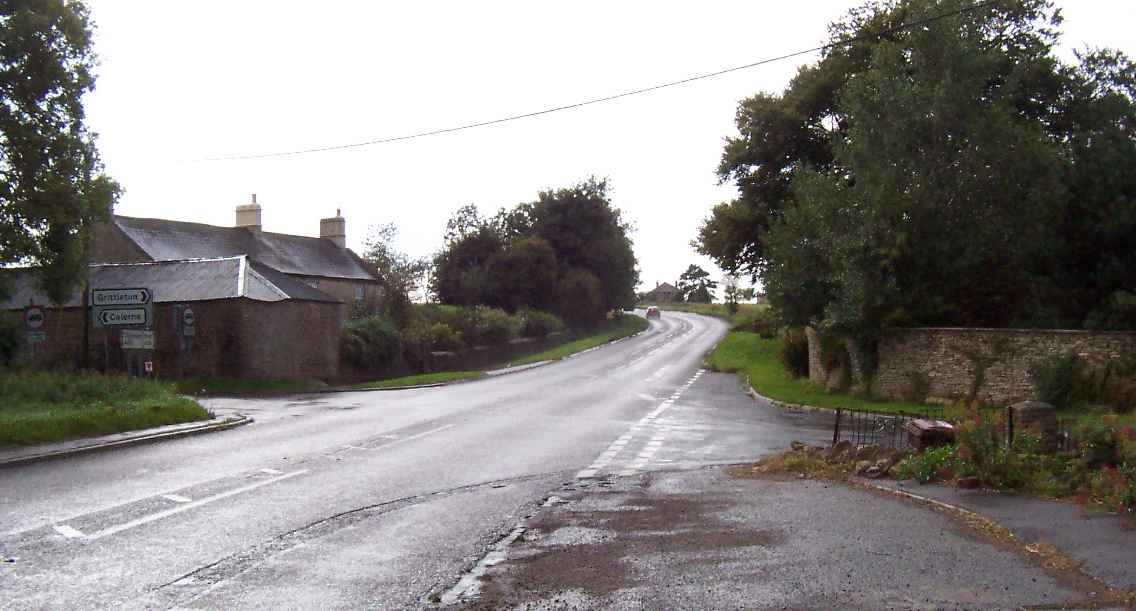
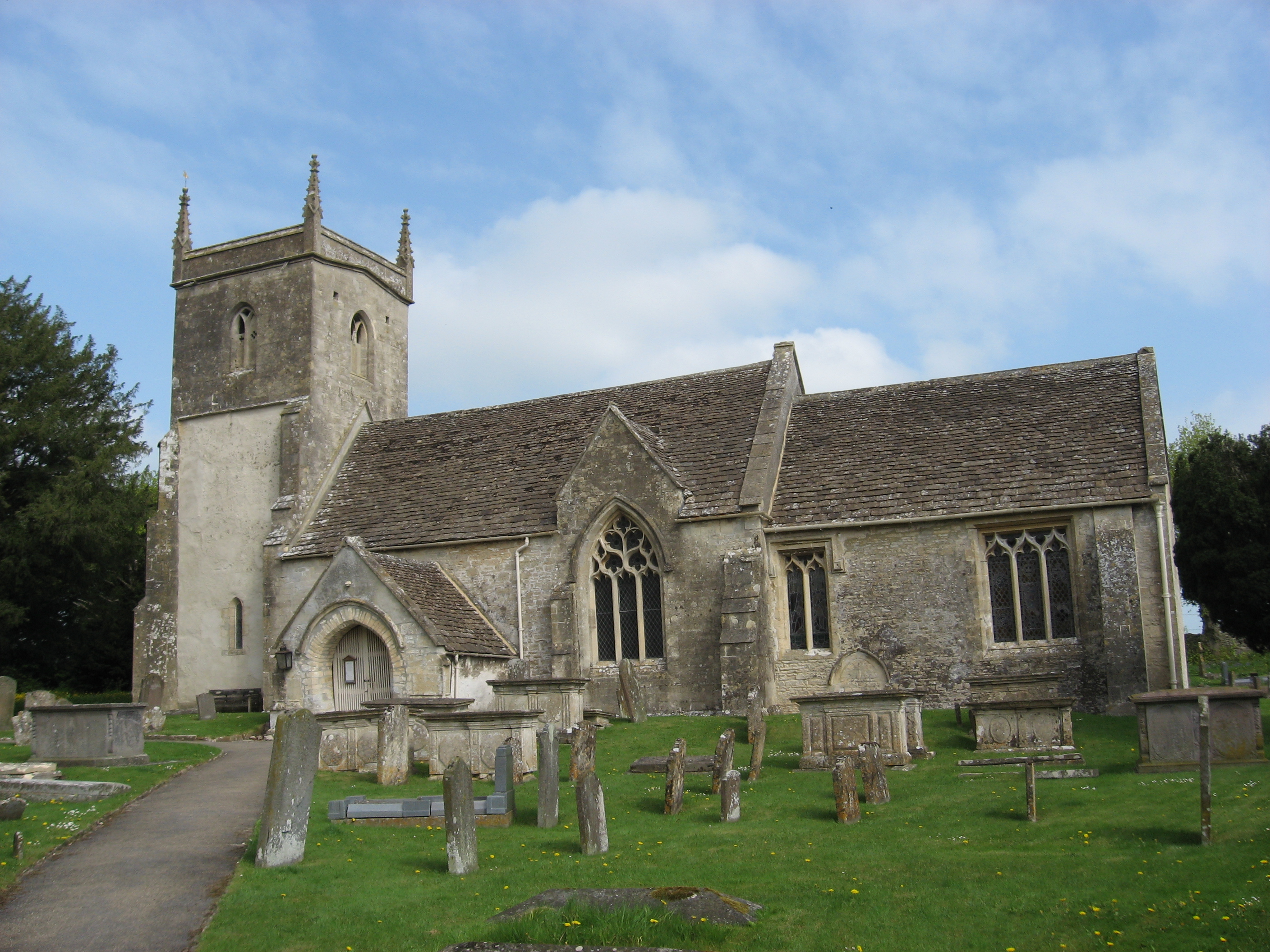
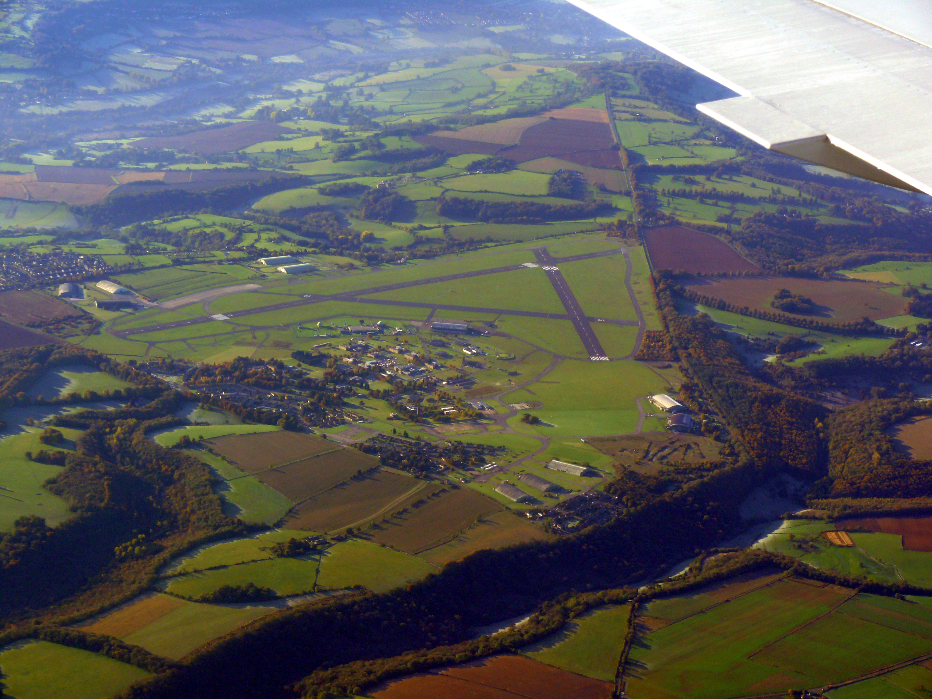
Images are sourced within 2km of 51.4641/-2.270805 or Grid Reference ST8173. Thanks to Geograph Open Source API. All images are credited.

Gates to St. James' Church, North Wraxall The gateway to the church of St. James in North Wraxall.
Gates to St. James' Church, North Wraxall
The gateway to the church of St. James in North Wraxall.
St James, North Wraxall: January 2024
Fosse Farm northerly aspect The front of the farm faces onto the Fosse Way and ancient Roman Trackway.
Fosse Farm northerly aspect
The front of the farm faces onto the Fosse Way and ancient Roman Trackway.
The Old Coach Road The Old Coach Road is now a byway.  It leaves the tarmac lane between North Wraxall and the A420 at this point and continues roughly eastwards for a little over 2km to Ford village on the A420.
The Old Coach Road
The Old Coach Road is now a byway. It leaves the tarmac lane between North Wraxall and the A420 at this point and continues roughly eastwards for a little over 2km to Ford village on the A420.
Looking west along The Old Coach Road The byway has a good stone surface at this point.
Looking west along The Old Coach Road
The byway has a good stone surface at this point.
Looking east along The Old Coach Road
Aerials on the byway The Old Coach Road provides access to new aerial masts for mobile phones
Aerials on the byway
The Old Coach Road provides access to new aerial masts for mobile phones
The Old Coach Road Byway
Old Hangars At Colerne Airfield This airfield used to house an active RAF base but now it is mainly used by flying schools and Air Training Corps groups. The entrance is just off the old Fosse Way.
Old Hangars At Colerne Airfield
This airfield used to house an active RAF base but now it is mainly used by flying schools and Air Training Corps groups. The entrance is just off the old Fosse Way.
Fosse Way This shows the line of the old Roman road as it heads north and starts to descend into the valley of the Doncombe Brook. The road also make its first significant deviation from a straight line after arriving on the high ground at Bannerdown above Batheaston 4km to the south.
Fosse Way
This shows the line of the old Roman road as it heads north and starts to descend into the valley of the Doncombe Brook. The road also make its first significant deviation from a straight line after arriving on the high ground at Bannerdown above Batheaston 4km to the south.
Horse Rider arriving at the Fosse Way A footpath goes off across the field in the right foreground. The horse rider was arriving at the gate after having ridden round the field in the background. The modern road following the line of the Fosse Way can be seen on the left. There was a gap next to the gate so it was unnecessary for the rider to open the gate.
Horse Rider arriving at the Fosse Way
A footpath goes off across the field in the right foreground. The horse rider was arriving at the gate after having ridden round the field in the background. The modern road following the line of the Fosse Way can be seen on the left. There was a gap next to the gate so it was unnecessary for the rider to open the gate.
Fields at Upper Wraxall All that was left in this large wheat field after harvesting was a few round bales of straw and some stubble.It is just off the Fosse Way
Fields at Upper Wraxall
All that was left in this large wheat field after harvesting was a few round bales of straw and some stubble.It is just off the Fosse Way
Halls Barn Farm Situated right on the Fosse Way just west of North Wraxall this is a large working farm with a considerable number of buildings on both sides of the old Roman road.
Halls Barn Farm
Situated right on the Fosse Way just west of North Wraxall this is a large working farm with a considerable number of buildings on both sides of the old Roman road.
Powerlines near Fosse Farm This powerline runs straight across the Fosse Way east of Mountain Bower and north of North Wraxall. The fields in this area are a mix of pasture and arable. A footpath to West Kington runs on the other side of the fence on the right.
Powerlines near Fosse Farm
This powerline runs straight across the Fosse Way east of Mountain Bower and north of North Wraxall. The fields in this area are a mix of pasture and arable. A footpath to West Kington runs on the other side of the fence on the right.
Junction of minor roads at Mountain Bower For a small hamlet there are a lot of roads meeting here! Three roads cross at this point, in the form of a star, so from here you can go in six directions. To be exact, you can if on foot or horseback: one of the six is actually a track which is a Public Bridleway.
Junction of minor roads at Mountain Bower
For a small hamlet there are a lot of roads meeting here! Three roads cross at this point, in the form of a star, so from here you can go in six directions. To be exact, you can if on foot or horseback: one of the six is actually a track which is a Public Bridleway.
Entrance to Ridleys Cheer This unusually named private property has attached to it a 14 acre, plantsmans garden and arboretum. The garden contains a wide range of plants, shrubs and trees, including some 130 different species and cultivars of rose, with tree ramblers reaching to the very tops of some of the trees. Four thousand trees have been planted over a 40 year period of occupancy including: Acers, Magnolias, Fagus, Ilex, Tillia. There are Daphnes in many species and cultivars. See:-  <span class="nowrap"><a title="http://www.ridleyscheer.co.uk/gardens_and_arboretum.htm" rel="nofollow ugc noopener" href="http://www.ridleyscheer.co.uk/gardens_and_arboretum.htm">Link</a><img style="margin-left:2px;" alt="External link" title="External link - shift click to open in new window" src="https://s1.geograph.org.uk/img/external.png" width="10" height="10"/></span>
Entrance to Ridleys Cheer
This unusually named private property has attached to it a 14 acre, plantsmans garden and arboretum. The garden contains a wide range of plants, shrubs and trees, including some 130 different species and cultivars of rose, with tree ramblers reaching to the very tops of some of the trees. Four thousand trees have been planted over a 40 year period of occupancy including: Acers, Magnolias, Fagus, Ilex, Tillia. There are Daphnes in many species and cultivars. See:- LinkExternal link
Ridleys Cheer wildflower meadow This 14 acre plantsmans garden is open to the public by appointment.  <span class="nowrap"><a title="http://www.ridleyscheer.co.uk/gardens_and_arboretum.htm" rel="nofollow ugc noopener" href="http://www.ridleyscheer.co.uk/gardens_and_arboretum.htm">Link</a><img style="margin-left:2px;" alt="External link" title="External link - shift click to open in new window" src="https://s1.geograph.org.uk/img/external.png" width="10" height="10"/></span>
Shown here is a section of the 3 acre, limestone, wild-flower meadow.
Ridleys Cheer wildflower meadow
This 14 acre plantsmans garden is open to the public by appointment. LinkExternal link Shown here is a section of the 3 acre, limestone, wild-flower meadow.
Stone Stile, Colerne GS5701 On Gloucestershire footpath LMA/38 NW of the airfield looking West. The view looking East is <a href="https://www.geograph.org.uk/photo/7249155">ST7973 : Stone Stile, Colerne GS5701</a>.
Stone Stile, Colerne GS5701
On Gloucestershire footpath LMA/38 NW of the airfield looking West. The view looking East is ST7973 : Stone Stile, Colerne GS5701.
Show me another place!

Doncombe Bottom is located at Grid Ref: ST8173 (Lat: 51.4641, Lng: -2.270805)

Unitary Authority: Wiltshire

Police Authority: Wiltshire

What 3 Words

///spider.inspected.encloses. Near North Wraxall, Wiltshire

Related Wikis

Nearby Amenities

Located within 500m of 51.4641,-2.270805
The Shoe
Place: hamlet
Wikidata: Q7763888
Wikipedia: en:The Shoe
Lat/Long: 51.4666343/-2.2760788
Direction: 140
Generator Method: photovoltaic
Generator Output Electricity: yes
Generator Solar Modules: 16
Generator Source: solar
Generator Type: solar_photovoltaic_panel
Location: roof
Power: generator
Lat/Long: 51.4672667/-2.2728238
Power: pole
Lat/Long: 51.4634233/-2.2776614
Power: pole
Lat/Long: 51.4642516/-2.2760816
Power: pole
Lat/Long: 51.4652784/-2.2753741
Power: pole
Lat/Long: 51.4661444/-2.2747767
Power: pole
Lat/Long: 51.4671901/-2.2739801
Power: pole
Lat/Long: 51.4674522/-2.2739929
The data included in this document is from www.openstreetmap.org. The data is made available under ODbL.

Have you been to Doncombe Bottom?

Leave your review of Doncombe Bottom below (or comments, questions and feedback).