Bury Camp
Heritage Site in Leicestershire Hinckley and Bosworth
England
Bury Camp
Bury Camp, located in Leicestershire, England, is a significant heritage site known for its historical and archaeological importance. This Iron Age hillfort is situated on a prominent hilltop, offering commanding views of the surrounding landscape. The site covers an area of approximately 16 acres and is surrounded by a well-preserved double rampart and ditch system.
The origins of Bury Camp can be traced back to the Late Bronze Age, around 1000 BC, with evidence of early occupation and defensive structures. However, the hillfort reached its peak during the Iron Age, around 400 BC, when it was extensively fortified and occupied by a significant population.
The impressive earthworks of Bury Camp consist of two concentric ramparts, which enclose the central area. These ramparts were likely constructed using local materials, such as clay and chalk, and would have provided formidable defenses against potential invaders. The inner rampart is higher and steeper than the outer one, creating an effective barrier to deter any attacks.
Excavations at Bury Camp have revealed numerous artifacts, including pottery, coins, and metal objects, indicating a thriving community that engaged in trade and craftsmanship. The site's strategic location would have facilitated communication and trade with neighboring settlements.
Bury Camp is not only a testament to the advanced engineering skills of its Iron Age inhabitants but also provides a unique insight into the daily lives and social structures of this ancient community. As a designated heritage site, it attracts visitors interested in history, archaeology, and the cultural heritage of the Leicestershire region.
If you have any feedback on the listing, please let us know in the comments section below.
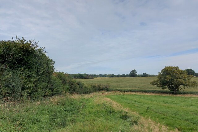
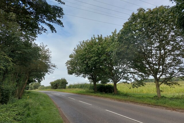
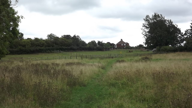
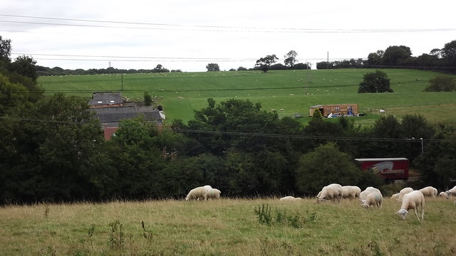
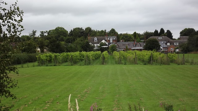
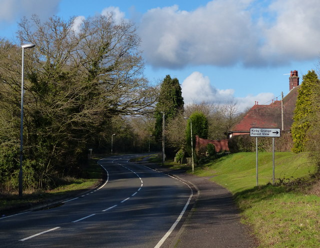
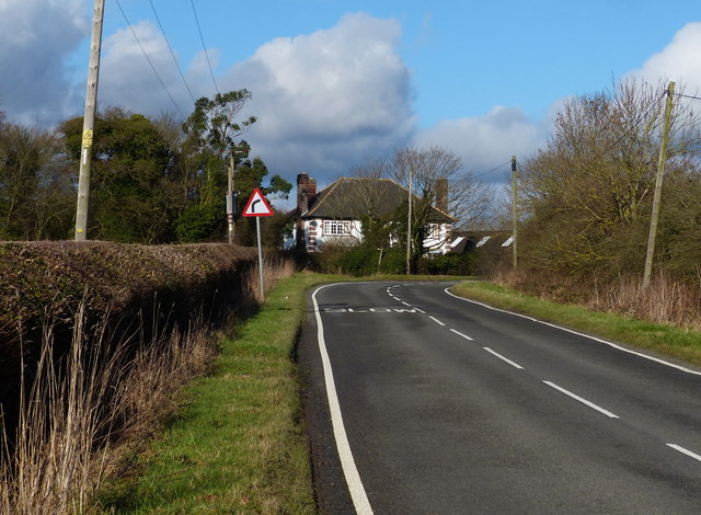
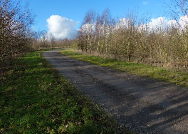
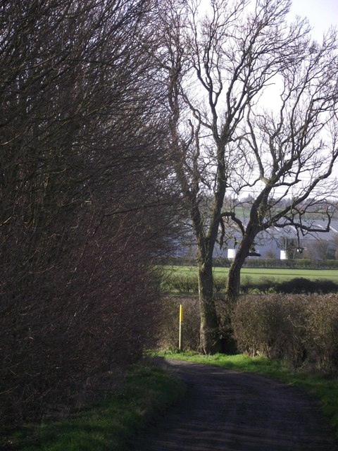
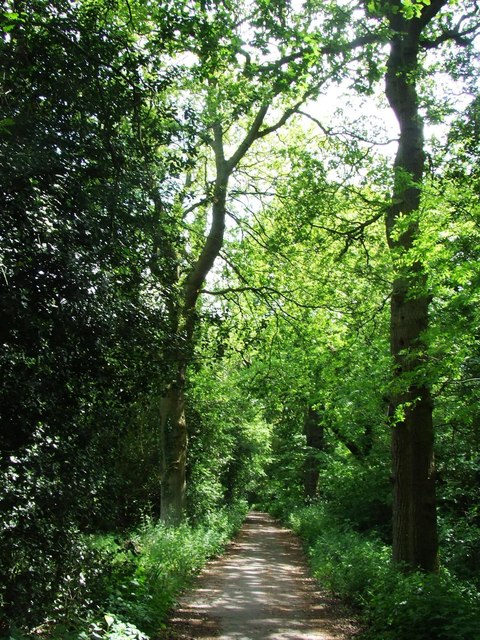
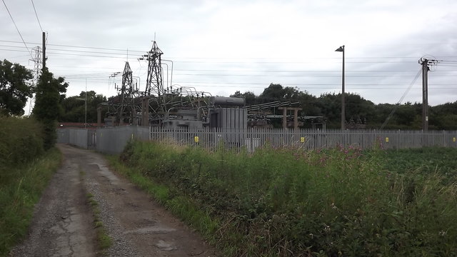
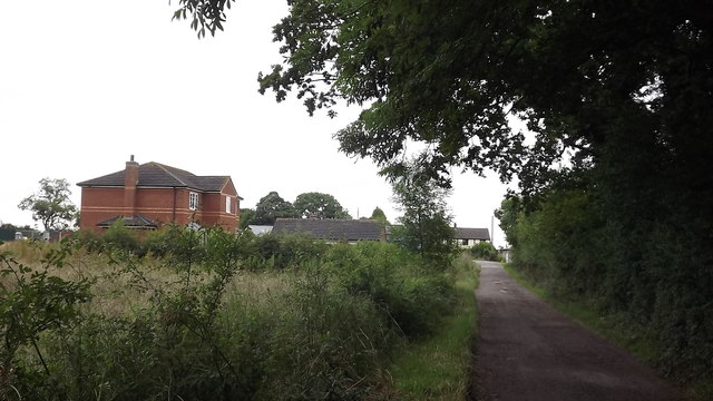
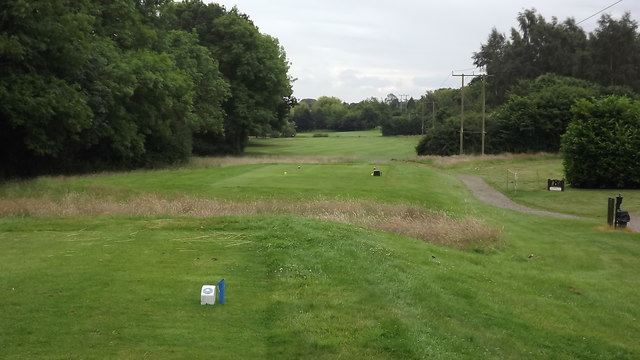
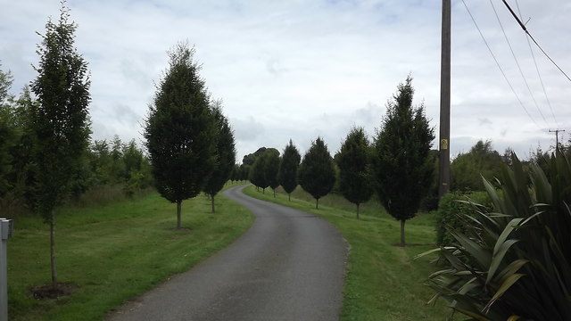
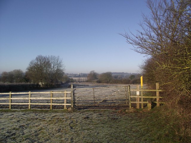
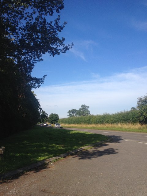
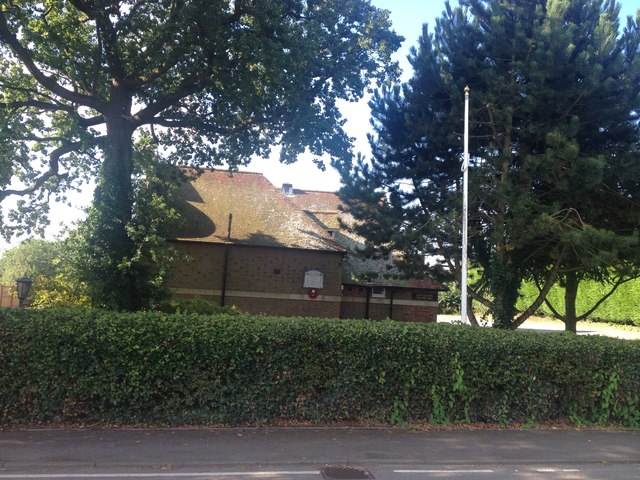
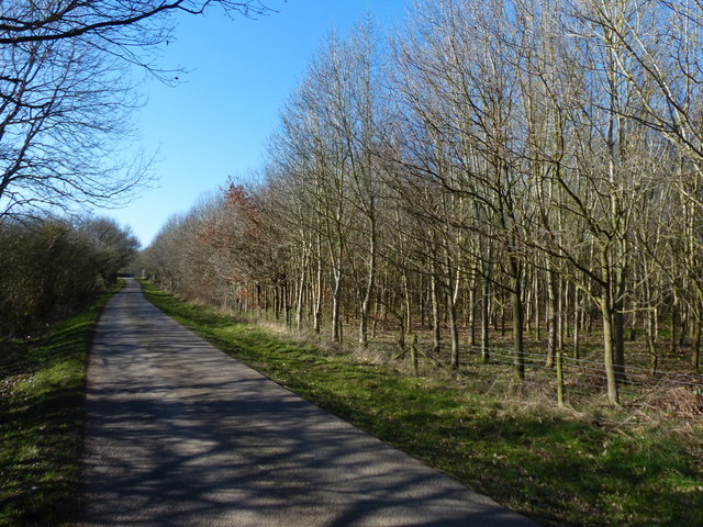
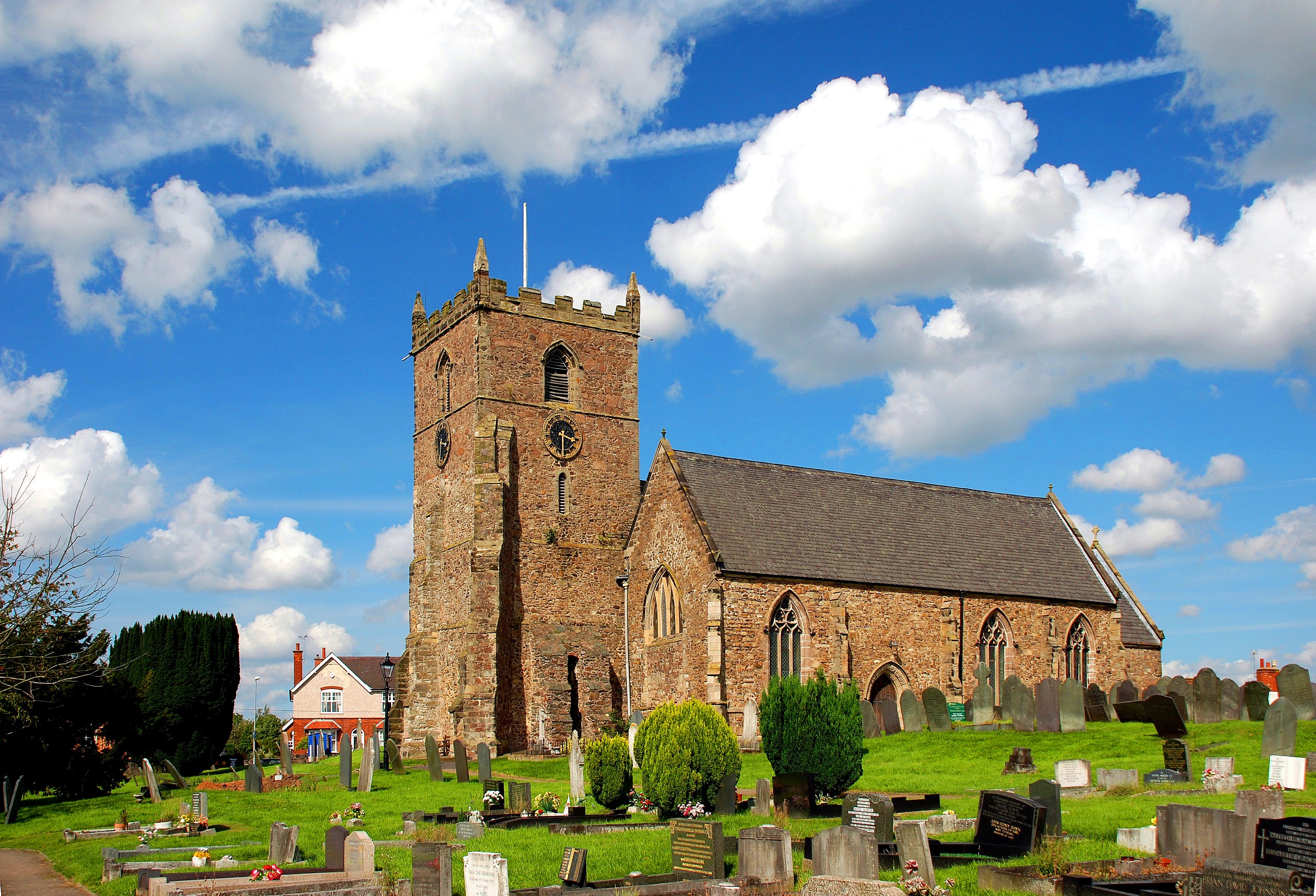
Bury Camp Images
Images are sourced within 2km of 52.645/-1.268 or Grid Reference SK4905. Thanks to Geograph Open Source API. All images are credited.
Bury Camp is located at Grid Ref: SK4905 (Lat: 52.645, Lng: -1.268)
Administrative County: Leicestershire
District: Hinckley and Bosworth
Police Authority: Leicestershire
What 3 Words
///awaited.airfields.monks. Near Ratby, Leicestershire
Nearby Locations
Related Wikis

Botcheston Bog
Botcheston Bog is a 2.9-hectare (7.2-acre) biological Site of Special Scientific Interest near Botcheston, west of Leicester.This grazed marsh on peaty...

Newtown Unthank
Newtown Unthank is a hamlet in the Hinckley and Bosworth district of Leicestershire about 6 miles (10 km) west of Leicester. It is in the civil parish...

Botcheston
Botcheston is a hamlet in the Hinckley and Bosworth district of Leicestershire about 6.5 miles (10.5 km) west of Leicester. It is in the civil parish of...

Desford railway station
Desford railway station was a railway station in Leicestershire, England on the Leicester and Swannington Railway, which later became part of the Midland...
Ratby
Ratby is a commuter village and civil parish in the Hinckley and Bosworth district of Leicestershire, England. It is situated to the west of Leicester...

Ratby railway station
Ratby railway station served the village of Ratby, Leicestershire, England, from 1832 to 1928 on the Leicester and Swannington Railway. == History == The...

Tropical Birdland, Leicestershire
Tropical Birdland in the north of the village of Desford, Leicestershire, England, is a visitor attraction that has many bird species including parrots...

Bosworth Academy
Bosworth Academy (formerly Bosworth Community College) is a coeducational secondary school located in Desford, Leicester, England and is part of the LiFE...
Nearby Amenities
Located within 500m of 52.645,-1.268Have you been to Bury Camp?
Leave your review of Bury Camp below (or comments, questions and feedback).