Bury Bank

Heritage Site in Staffordshire Stafford

England

Bury Bank

Christchurch First School, Stone The school dates from 1887, and is described as in "Flemish Gothic style" <span class="nowrap"><a title="http://www.britishlistedbuildings.co.uk/en-386028-christchurch-schools-stone-staffordshire" rel="nofollow ugc noopener" href="http://www.britishlistedbuildings.co.uk/en-386028-christchurch-schools-stone-staffordshire">Link</a><img style="margin-left:2px;" alt="External link" title="External link - shift click to open in new window" src="https://s1.geograph.org.uk/img/external.png" width="10" height="10"/></span> . " On the roof ridge, a wood and lead lantern with ogee roof and spirelet." This is on Northesk Street.
Christchurch First School, Stone Credit: Derek Harper

Bury Bank is an ancient hill fort located in Staffordshire, England. It is considered a significant heritage site due to its historical and archaeological importance. The site is situated on a prominent hilltop, offering panoramic views of the surrounding landscape.

The hill fort dates back to the Iron Age, with evidence suggesting that it was originally constructed around 500 BC. The fort covers an area of approximately 5 hectares and is surrounded by earthen ramparts and ditches. These defensive features indicate that Bury Bank was likely used for military purposes, providing protection and a vantage point for its inhabitants.

Excavations at Bury Bank have revealed numerous artifacts, including pottery fragments, tools, and weapons, which provide valuable insights into the daily life of the Iron Age community that inhabited the site. The fort's strategic location and its role as a central hub for trade and communication during this era further contribute to its historical significance.

Today, Bury Bank is open to the public, attracting visitors interested in exploring its ancient remains and learning about its rich history. The site offers informative panels and guided tours to help visitors understand the significance of the hill fort and its place in the wider context of Iron Age settlements in the region.

Bury Bank serves as an important reminder of Staffordshire's ancient past and provides a fascinating glimpse into the lives of its earliest inhabitants.

If you have any feedback on the listing, please let us know in the comments section below.
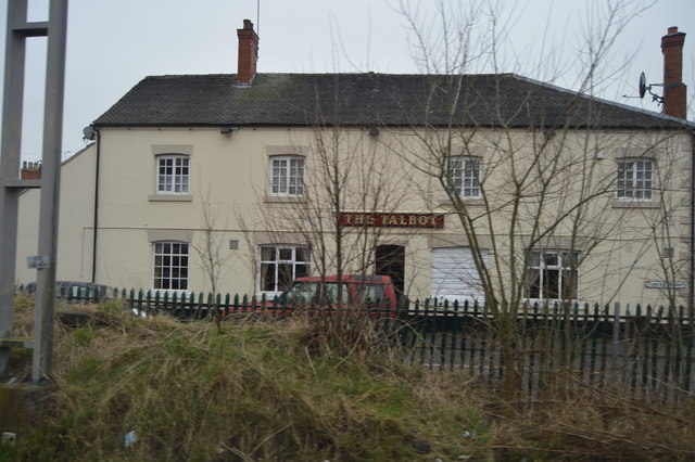
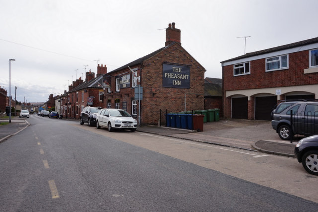
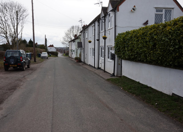
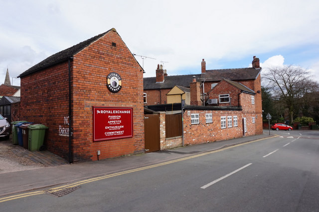
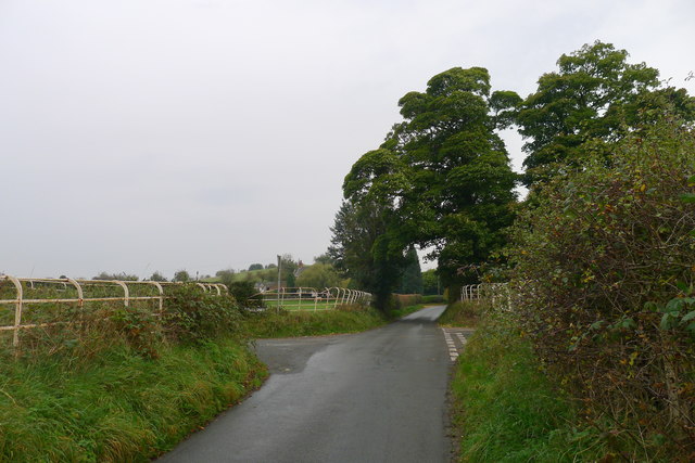
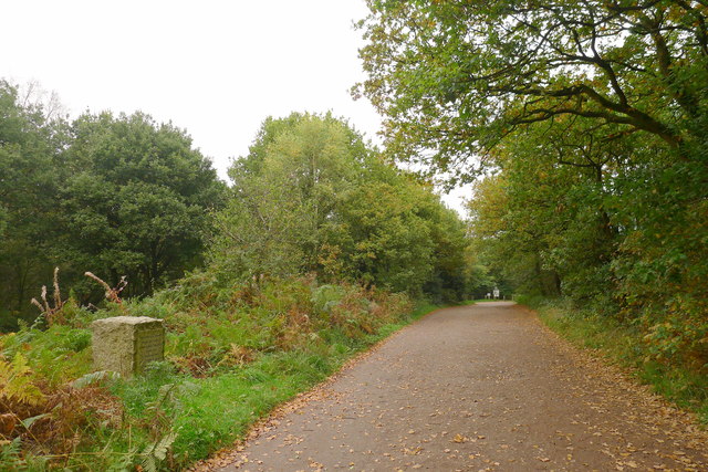
Bury Bank Images

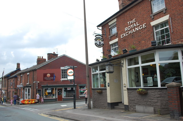
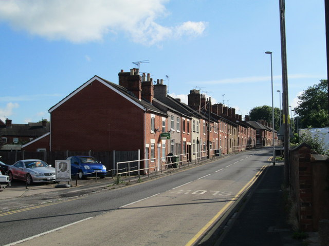
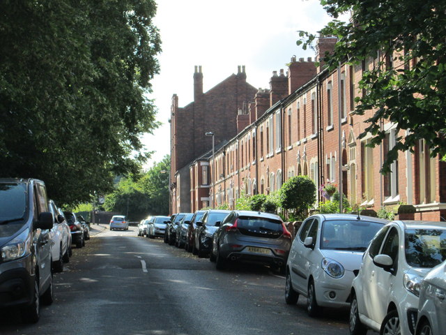
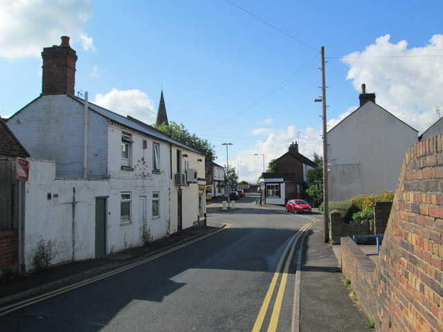
Images are sourced within 2km of 52.917/-2.17 or Grid Reference SJ8835. Thanks to Geograph Open Source API. All images are credited.

Christchurch First School, Stone The school dates from 1887, and is described as in "Flemish Gothic style" <span class="nowrap"><a title="http://www.britishlistedbuildings.co.uk/en-386028-christchurch-schools-stone-staffordshire" rel="nofollow ugc noopener" href="http://www.britishlistedbuildings.co.uk/en-386028-christchurch-schools-stone-staffordshire">Link</a><img style="margin-left:2px;" alt="External link" title="External link - shift click to open in new window" src="https://s1.geograph.org.uk/img/external.png" width="10" height="10"/></span> . " On the roof ridge, a wood and lead lantern with ogee roof and spirelet." This is on Northesk Street.
Christchurch First School, Stone
The school dates from 1887, and is described as in "Flemish Gothic style" LinkExternal link . " On the roof ridge, a wood and lead lantern with ogee roof and spirelet." This is on Northesk Street.
The Royal Exchange and road junction Looking down Radford Street to its junction with Northesk Street, with The Royal Exchange on the corner.
The Royal Exchange and road junction
Looking down Radford Street to its junction with Northesk Street, with The Royal Exchange on the corner.
Longton Road, Stone The A520 on the northern edge of Stone.
Longton Road, Stone
The A520 on the northern edge of Stone.
King's Avenue, Stone Looking towards the junction with Radford Street. The avenue is alongside a railway line.
King's Avenue, Stone
Looking towards the junction with Radford Street. The avenue is alongside a railway line.
Old Road, Stone In the middle distance is the junction with Oulton Road on the left; further on is the junction with Longton Road. The spire of St John's Church, on Longton Road, can be seen.
Old Road, Stone
In the middle distance is the junction with Oulton Road on the left; further on is the junction with Longton Road. The spire of St John's Church, on Longton Road, can be seen.
The Talbot
The Talbot
The Pheasant Inn, Old Road, Stone
Houses on Old Road, Stone
Christ Church C of E First School On Northesk Street, Stone.
Christ Church C of E First School
On Northesk Street, Stone.
Christ Church C of E First School
The Royal Exchange On Radford Street, Stone. <a title="https://www.geograph.org.uk/photo/4892094" href="https://www.geograph.org.uk/photo/4892094">Link</a>
The Royal Exchange
On Radford Street, Stone. Link
The Royal Exchange On Radford Street, Stone.  <a title="https://www.geograph.org.uk/photo/4892089" href="https://www.geograph.org.uk/photo/4892089">Link</a>
The Royal Exchange
On Radford Street, Stone. Link
The Royal Exchange Taken from Northesk Street, Stone.
The Royal Exchange
Taken from Northesk Street, Stone.
Titanic Brewery sign on Northesk Street, Stone
Cross Roads on Old Road Old Road was the original route from Stone to Longton, now superseded by the A520 (the 'New Road') <span class="nowrap"><a title="http://alittlebitofstone.com/2013/02/05/history-monthly-stone-street-names-part-2/" rel="nofollow ugc noopener" href="http://alittlebitofstone.com/2013/02/05/history-monthly-stone-street-names-part-2/">Link</a><img style="margin-left:2px;" alt="External link" title="External link - shift click to open in new window" src="https://s1.geograph.org.uk/img/external.png" width="10" height="10"/></span>
Cross Roads on Old Road
Old Road was the original route from Stone to Longton, now superseded by the A520 (the 'New Road') LinkExternal link
Entrance to Downs Banks, and war memorial The granite stone on the left is inscribed:
THESE DOWNS WERE PURCHASED BY JOHN JOULE AND SONS LTD
ENDOWED BY PUBLIC SUBSCRIPTION
AND PRESENTED
TO THE NATIONAL TRUST
ON THE 22ND DAY OF JULY 1950
AS A THANK OFFERING FOR VICTORY
IN THE WAR OF 1939-1945
AND AS A MEMORIAL
TO THOSE WHO FELL IN THE WAR
Entrance to Downs Banks, and war memorial
The granite stone on the left is inscribed: THESE DOWNS WERE PURCHASED BY JOHN JOULE AND SONS LTD ENDOWED BY PUBLIC SUBSCRIPTION AND PRESENTED TO THE NATIONAL TRUST ON THE 22ND DAY OF JULY 1950 AS A THANK OFFERING FOR VICTORY IN THE WAR OF 1939-1945 AND AS A MEMORIAL TO THOSE WHO FELL IN THE WAR
St Dominic's Social Centre The building then known as St Joseph's Hall was used as an Auxiliary Hospital during the Great War.
St Dominic's Social Centre
The building then known as St Joseph's Hall was used as an Auxiliary Hospital during the Great War.
Shops on corner of Radford Road and King's Road The ghost writing on the gable suggests that this was once the Cooperative store.
Shops on corner of Radford Road and King's Road
The ghost writing on the gable suggests that this was once the Cooperative store.
Show me another place!

Bury Bank is located at Grid Ref: SJ8835 (Lat: 52.917, Lng: -2.17)

Administrative County: Staffordshire

District: Stafford

Police Authority: Staffordshire

What 3 Words

///asset.shows.tests. Near Stone, Staffordshire

Related Wikis

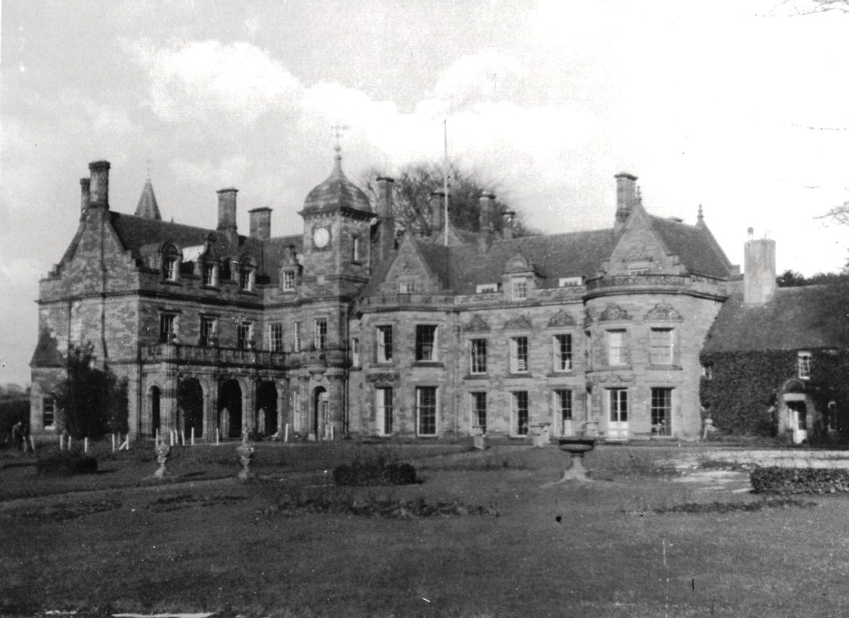
Meaford Hall, Staffordshire

Meaford Hall in Staffordshire, England is a 17th-century country house at Meaford, near Stone, Staffordshire. The River Trent runs through the estate's...

Bury Bank

Bury Bank is an Iron Age hillfort in Staffordshire, England, about 1.5 miles (2.4 km) north-west of Stone and near the village of Meaford. It is a scheduled...

Dorlestone Hall

Dorlestone Hall was a manor house at Darlaston, a locality also known as Dorlestone, near Stone, Staffordshire, England, on the Trent. The Hall was built...

Meaford Power Station

Meaford Power Station was a coal-fired power station situated on the River Trent at Meaford near Stone in Staffordshire. == History == === Meaford A... ===

Stone railway station

Stone railway station serves the market town of Stone, Staffordshire, England. The station is located on a junction of the Colwich to Manchester spur of...

Stone Rural District

Stone Rural District was a rural district in Staffordshire, England. It was created in 1894 and abolished by virtue of the Local Government Act 1972 in...

Downs Banks

Downs Bank, also known as Barlaston Downs, is an area of open countryside, located two miles (3 km) north of the town of Stone in Staffordshire, and four...

St Dominic's Priory School, Stone

St Dominic's Priory School is an independent Catholic day school in the town of Stone, Staffordshire, halfway between Stoke-on-Trent and Stafford. The...

Nearby Amenities

Located within 500m of 52.917,-2.17
Speed Camera
Lat/Long: 52.9146666/-2.1687767
Seamark Type: gate
Waterway: lock_gate
Lat/Long: 52.9150146/-2.1646008
Seamark Type: gate
Waterway: lock_gate
Lat/Long: 52.9172274/-2.1632138
Seamark Type: gate
Source: survey
Waterway: lock_gate
Lat/Long: 52.9182224/-2.1628587
Seamark Type: gate
Source: survey
Waterway: lock_gate
Lat/Long: 52.9170351/-2.1633341
Seamark Type: gate
Source: survey
Waterway: lock_gate
Lat/Long: 52.914819/-2.1647259
Seamark Type: gate
Waterway: lock_gate
Lat/Long: 52.9141478/-2.1651429
Seamark Type: gate
Source: survey
Waterway: lock_gate
Lat/Long: 52.9139229/-2.165189
Bus Stop
George & Dragon PH
Bus: yes
Naptan AtcoCode: 3800C716301
Naptan Bearing: NW
Naptan CommonName: George & Dragon PH
Naptan Indicator: Opp
Naptan Landmark: George & Dragon PH
Naptan Street: A34
Naptan Verified: no
Public Transport: platform
Source: naptan_import
Lat/Long: 52.9154831/-2.1699251
Bus Stop
Bury Bank
Bus: yes
Naptan AtcoCode: 3800C739801
Naptan Bearing: N
Naptan CommonName: Bury Bank
Naptan Indicator: Adj
Naptan Landmark: Bury Bank
Naptan Street: Bankside
Naptan Verified: no
Public Transport: platform
Source: naptan_import
Lat/Long: 52.9186795/-2.1726147
Bus Stop
Bury Bank
Bus: yes
Naptan AtcoCode: 3800C739802
Naptan Bearing: S
Naptan CommonName: Bury Bank
Naptan Indicator: Opp
Naptan Landmark: Bury Bank
Naptan Street: Bankside
Naptan Verified: no
Public Transport: platform
Source: naptan_import
Lat/Long: 52.9189502/-2.1719019
Speed Camera
Lat/Long: 52.9151377/-2.1690462
Noexit: yes
Lat/Long: 52.9144858/-2.1646152
Noexit: yes
Lat/Long: 52.9150174/-2.1638546
Post Box
Collection Times: Mo-Fr 16:00; Sa 07:30
Post Box Type: wall
Ref: ST15 227
Source: survey
Lat/Long: 52.9171948/-2.1731497
Power: pole
Lat/Long: 52.9181697/-2.163768
Power: pole
Lat/Long: 52.9131157/-2.169628
Power: pole
Lat/Long: 52.9171009/-2.1646846
Power: pole
Lat/Long: 52.9147745/-2.1667108
Power: pole
Lat/Long: 52.9156695/-2.1659321
Power: pole
Source: Bing
Lat/Long: 52.9128067/-2.1698959
Power: pole
Source: Bing
Lat/Long: 52.9143433/-2.1746595
Power: pole
Source: Bing
Lat/Long: 52.9148059/-2.1731414
Power: pole
Source: Bing
Lat/Long: 52.9151518/-2.1720202
Power: pole
Source: Bing
Lat/Long: 52.9143367/-2.1712853
Power: pole
Source: Bing
Lat/Long: 52.9135475/-2.1705718
Bus Stop
Bus: yes
Public Transport: platform
Lat/Long: 52.9137003/-2.1669542
Power: pole
Lat/Long: 52.9144235/-2.1673241
Barrier: bollard
Lat/Long: 52.9182866/-2.1647874
Barrier: height_restrictor
Lat/Long: 52.9187398/-2.1646509
Barrier: height_restrictor
Lat/Long: 52.9187368/-2.1645632
Power: pole
Lat/Long: 52.9175961/-2.1629014
Power: pole
Lat/Long: 52.9182014/-2.1630364
Direction: 180
Man Made: surveillance
Surveillance: public
Surveillance Type: ALPR
Surveillance Zone: traffic
Lat/Long: 52.9185646/-2.1724678
Camera Direction: 120
Camera Mount: street_lamp
Camera Type: fixed
Man Made: surveillance
Surveillance: public
Surveillance Type: camera
Surveillance Zone: traffic
Lat/Long: 52.9176088/-2.1742384
Camera Direction: 350
Camera Mount: mast
Camera Type: fixed
Man Made: surveillance
Surveillance: public
Surveillance Type: camera
Surveillance Zone: traffic
Lat/Long: 52.9169015/-2.1708835
Darlaston
Place: hamlet
Lat/Long: 52.9171682/-2.1736741
Barrier: block
Lat/Long: 52.9176917/-2.1727338
Barrier: block
Lat/Long: 52.917895/-2.1726683
The data included in this document is from www.openstreetmap.org. The data is made available under ODbL.

Have you been to Bury Bank?

Leave your review of Bury Bank below (or comments, questions and feedback).