Meaford
Settlement in Staffordshire Stafford
England
Meaford

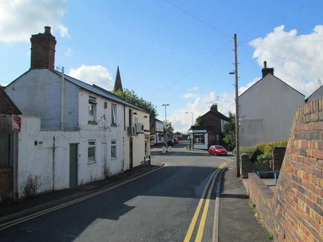
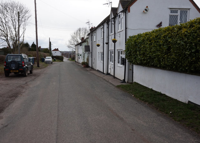
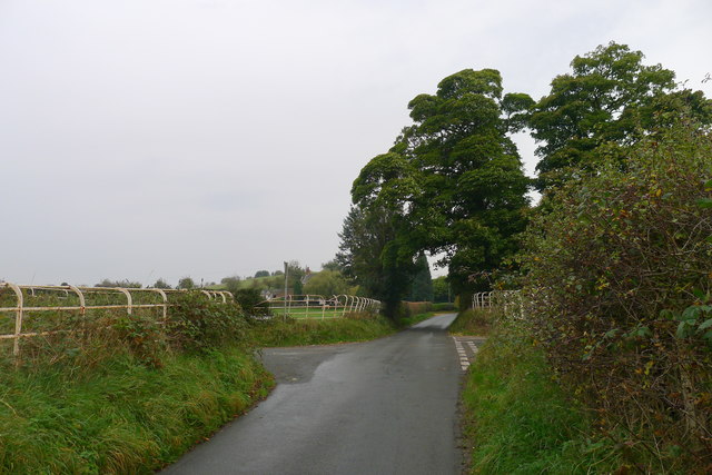
Meaford is a small village located in the county of Staffordshire, in the West Midlands region of England. Situated approximately 5 miles east of the county town of Stafford, Meaford is nestled in the picturesque countryside, surrounded by rolling hills and green fields.
The village is known for its tranquil and peaceful atmosphere, making it a popular destination for those seeking a break from the hustle and bustle of city life. The River Trent flows close by, adding to the scenic beauty of the area.
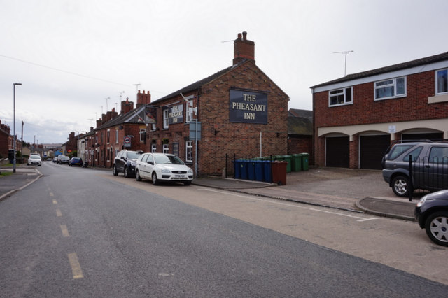
Meaford is home to a close-knit community, with a population of around 500 residents. The village offers a range of amenities, including a local pub, a village hall, and a primary school. The nearby town of Stafford provides additional services and facilities, such as supermarkets, shops, and healthcare facilities.
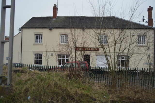
The village is rich in history, with several historical landmarks and buildings. Meaford Hall, a Grade II listed building, is a prominent feature in the village. Dating back to the 18th century, it has served as a community center and venue for various events and activities.
Nature enthusiasts can enjoy the surrounding countryside, with numerous walking and cycling trails available. The Staffordshire countryside offers breathtaking views and opportunities for outdoor recreation.
Overall, Meaford offers a charming and idyllic countryside retreat, with its scenic beauty, close community, and historical significance.
If you have any feedback on the listing, please let us know in the comments section below.
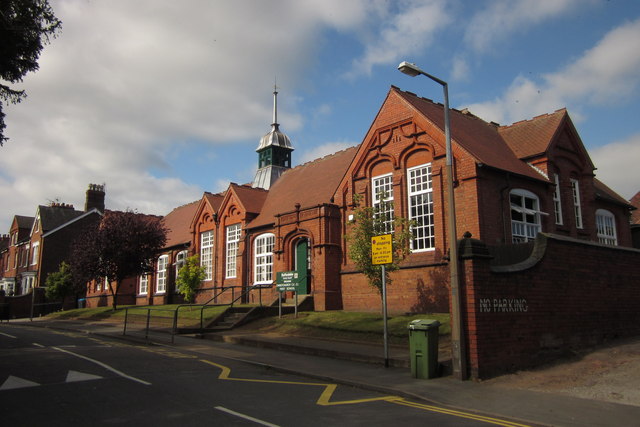
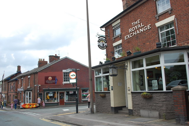
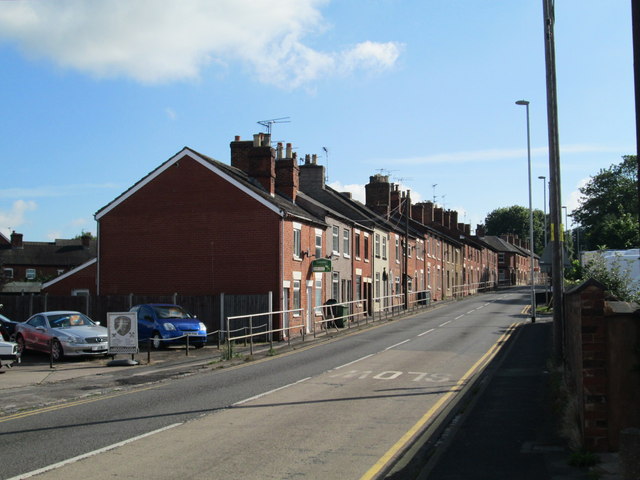
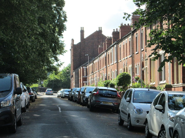
Meaford Images
Images are sourced within 2km of 52.916781/-2.168766 or Grid Reference SJ8835. Thanks to Geograph Open Source API. All images are credited.


Meaford is located at Grid Ref: SJ8835 (Lat: 52.916781, Lng: -2.168766)
Administrative County: Staffordshire
District: Stafford
Police Authority: Staffordshire
What 3 Words
///swaps.string.placed. Near Stone, Staffordshire
Nearby Locations
Related Wikis
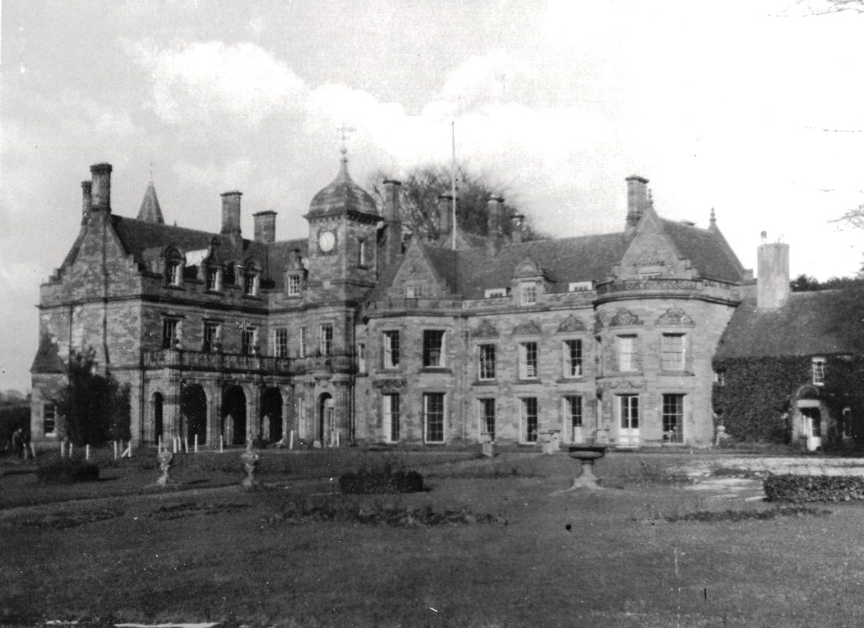
Meaford Hall, Staffordshire
Meaford Hall in Staffordshire, England is a 17th-century country house at Meaford, near Stone, Staffordshire. The River Trent runs through the estate's...

Bury Bank
Bury Bank is an Iron Age hillfort in Staffordshire, England, about 1.5 miles (2.4 km) north-west of Stone and near the village of Meaford. It is a scheduled...

Dorlestone Hall
Dorlestone Hall was a manor house at Darlaston, a locality also known as Dorlestone, near Stone, Staffordshire, England, on the Trent. The Hall was built...
Meaford Power Station
Meaford Power Station was a coal-fired power station situated on the River Trent at Meaford near Stone in Staffordshire. == History == === Meaford A... ===

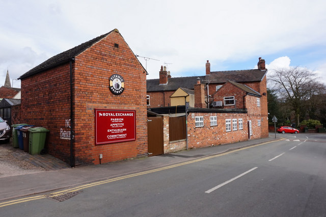
Stone railway station
Stone railway station serves the market town of Stone, Staffordshire, England. The station is located on a junction of the Colwich to Manchester spur of...
Stone Rural District
Stone Rural District was a rural district in Staffordshire, England. It was created in 1894 and abolished by virtue of the Local Government Act 1972 in...
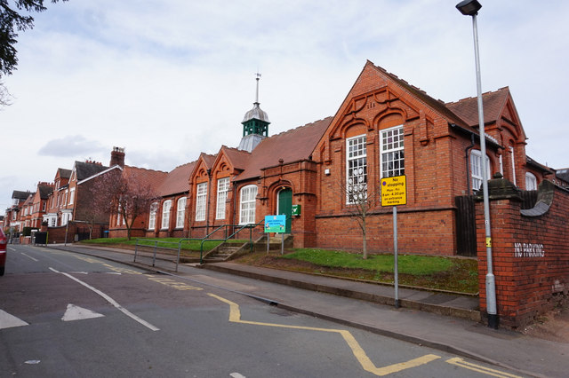
St Dominic's Priory School, Stone
St Dominic's Priory School is an independent Catholic day school in the town of Stone, Staffordshire, halfway between Stoke-on-Trent and Stafford. The...
Alleyne's Academy
Alleyne's Academy (formerly Alleyne's High School) is a coeducational secondary school and sixth form with academy status. It is located in Stone, Staffordshire...
Nearby Amenities
Located within 500m of 52.916781,-2.168766Have you been to Meaford?
Leave your review of Meaford below (or comments, questions and feedback).