Burton Mill Woods
Heritage Site in Cheshire
England
Burton Mill Woods
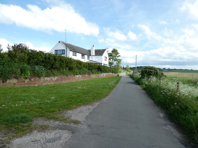
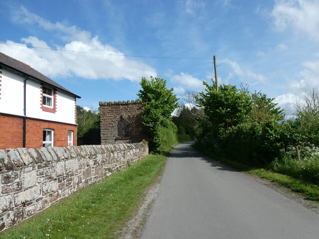
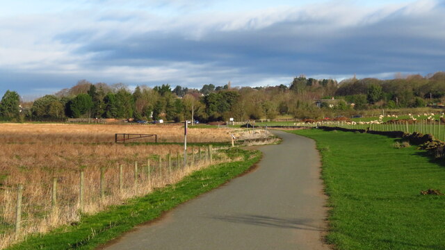
Burton Mill Woods is a historical site located in the picturesque county of Cheshire, England. This enchanting woodland is nestled in the countryside, just a few miles away from the bustling market town of Tarporley. The woods are part of the larger Delamere Forest and have been designated as a heritage site due to their rich cultural and historical significance.
Dating back to the medieval era, Burton Mill Woods were once a vital part of the local economy, as they housed a water-powered corn mill. The remnants of this mill can still be seen today, with the millpond and its accompanying channel acting as a reminder of the area's industrial past. The tranquil surroundings, with the gentle sound of the flowing water, create a peaceful and serene atmosphere for visitors to enjoy.
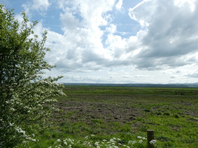
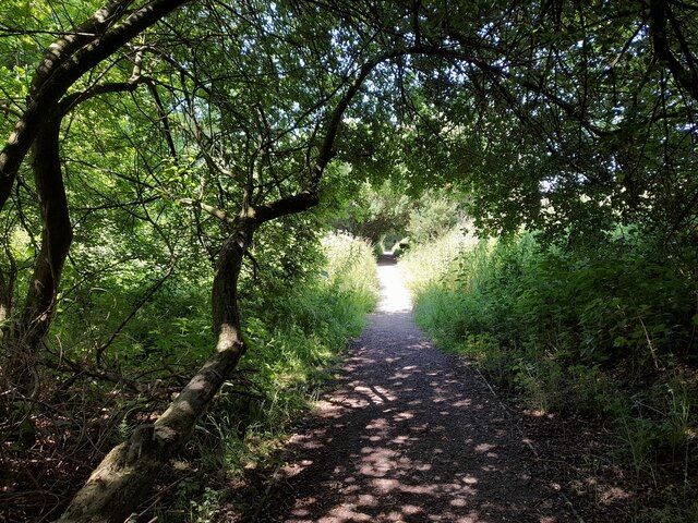
The woods themselves are home to a diverse range of flora and fauna, making it a haven for nature enthusiasts. Ancient oak trees, carpeted with moss and lichen, dominate the landscape, while bluebells and wild garlic add a splash of color during the spring months. The area is also frequented by a variety of bird species, including woodpeckers, nuthatches, and tawny owls.
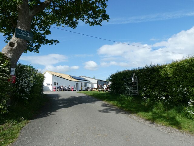
Visitors to Burton Mill Woods can explore the well-maintained footpaths that wind through the forest, offering breathtaking views of the surrounding countryside. The site is also popular with walkers and cyclists, who can take advantage of the numerous trails that crisscross the area.
Overall, Burton Mill Woods provides a captivating glimpse into the history and natural beauty of Cheshire. Its tranquil ambiance and scenic surroundings make it a perfect destination for those seeking a peaceful escape from the hustle and bustle of modern life.
If you have any feedback on the listing, please let us know in the comments section below.
Burton Mill Woods Images
Images are sourced within 2km of 53.263/-3.03 or Grid Reference SJ3174. Thanks to Geograph Open Source API. All images are credited.


Burton Mill Woods is located at Grid Ref: SJ3174 (Lat: 53.263, Lng: -3.03)
Unitary Authority: Cheshire West and Chester
Police Authority: Cheshire
What 3 Words
///scoping.koala.means. Near Neston, Cheshire
Nearby Locations
Related Wikis

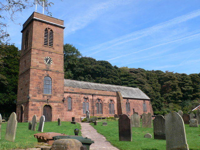
St Nicholas Church, Burton
St Nicholas Church is in the village of Burton, Ellesmere Port and Neston, Cheshire, England. It is recorded in the National Heritage List for England...

Burton Manor
Burton Manor is a former manor house in the village of Burton, Cheshire, England. It is recorded in the National Heritage List for England as a designated...
Burton (near Neston)
Burton is a village on the Wirral Peninsula, in the unitary authority of Cheshire West and Chester and the ceremonial county of Cheshire, England. It is...

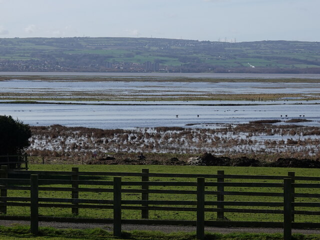
Burton Mere Wetlands
Burton Mere Wetlands (grid reference SJ304744) is a nature reserve on the Dee Estuary straddling the border between Cheshire, England and Flintshire, Wales...

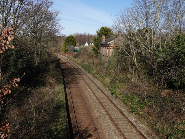
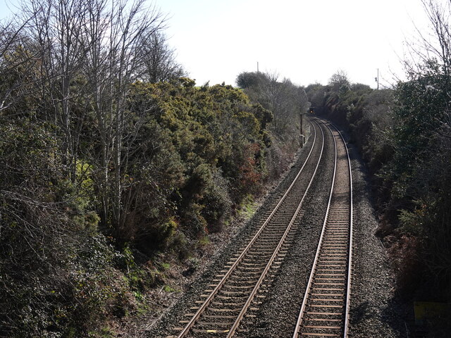
Burton Point railway station
Burton Point railway station was located on the northern side of Station Road, at Burton, Cheshire, England. The station opened on 1 August 1899 on the...
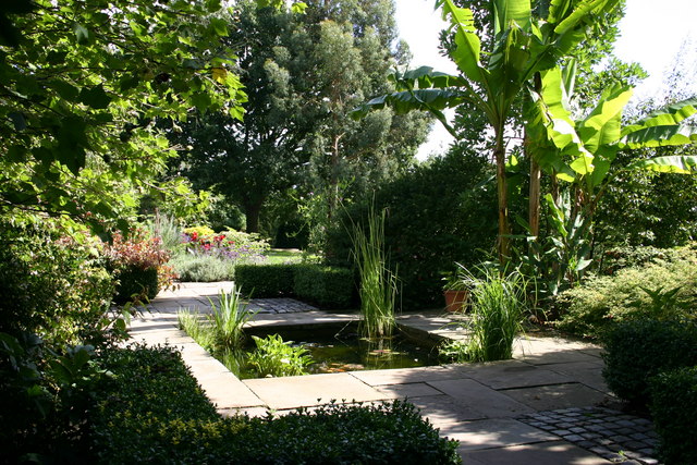
Ness Botanic Gardens
Ness Botanic Gardens are at Ness, Cheshire in the Wirral Peninsula. This is near the cities of Liverpool and Chester and close to the English-Welsh border...
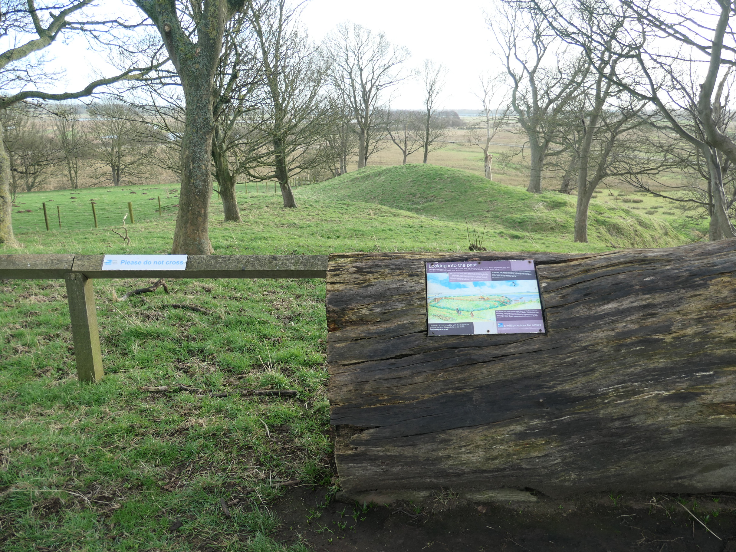
Burton Point, Cheshire
Burton Point is an Iron Age promontory fort located 1 mile (1.6 km) to the southeast of the village of Burton, in the Wirral Peninsula, Cheshire, England...

Puddington Old Hall
Puddington Old Hall stands on a former moated site in the village of Puddington, Cheshire, England. It is sited near the England–Wales border, overlooking...
Nearby Amenities
Located within 500m of 53.263,-3.03Have you been to Burton Mill Woods?
Leave your review of Burton Mill Woods below (or comments, questions and feedback).