Old Woodlands
Wood, Forest in Leicestershire Hinckley and Bosworth
England
Old Woodlands
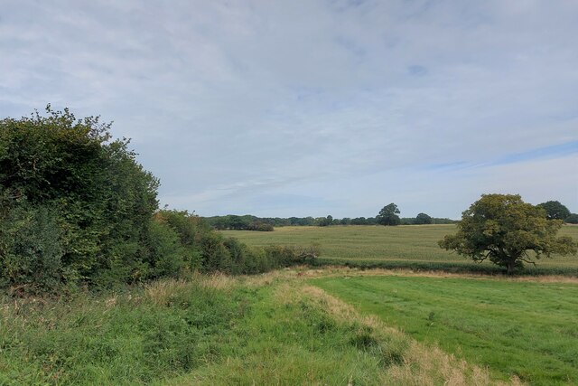
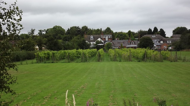
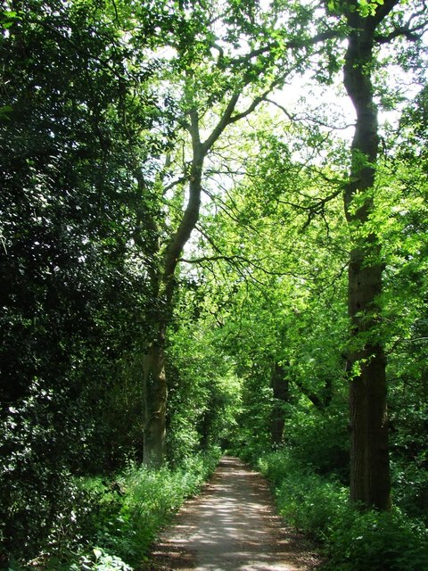
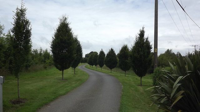
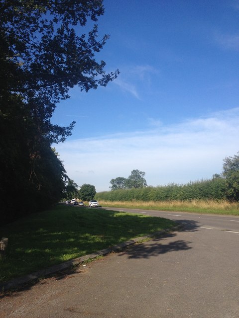
Old Woodlands is a picturesque forest located in Leicestershire, England. Covering an area of approximately 500 acres, it is a haven for nature enthusiasts and an important wildlife habitat. The woodland is primarily composed of ancient oak trees, which provide a stunning canopy of green throughout the year.
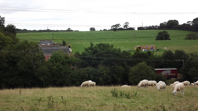
The forest boasts a diverse range of flora and fauna, making it an ideal destination for nature walks and wildlife spotting. Visitors can expect to encounter a variety of bird species, including woodpeckers, owls, and thrushes, as well as small mammals like squirrels and rabbits. The forest floor is carpeted with wildflowers in the spring and summer, creating a vibrant display of colors.
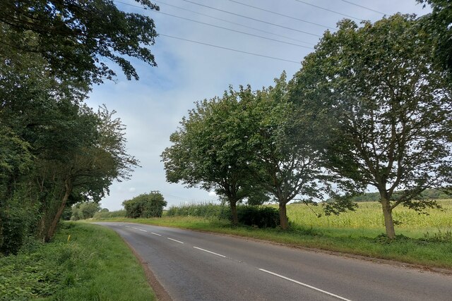
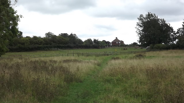
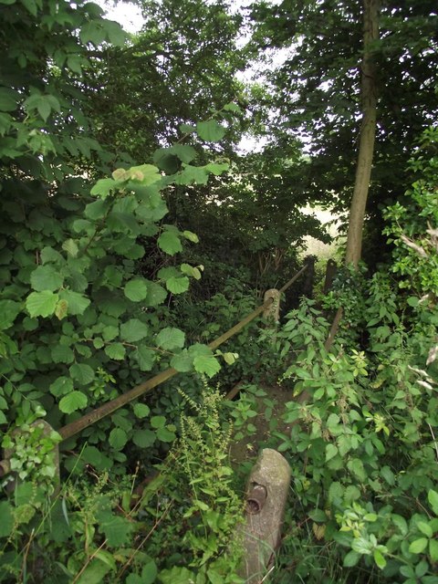
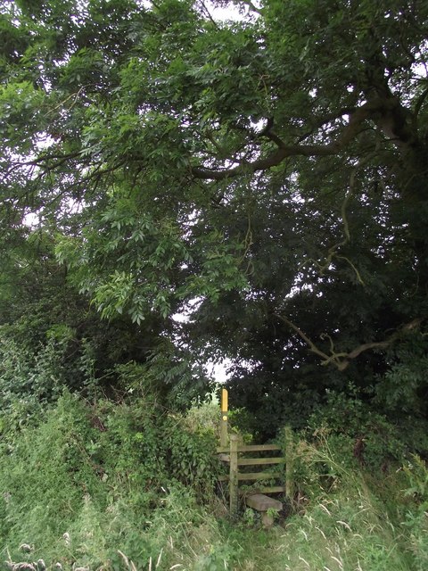
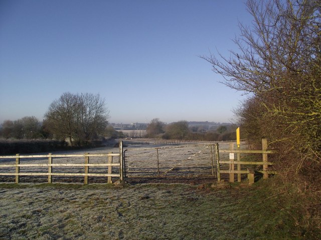
Walking trails crisscross the woodlands, allowing visitors to explore its various nooks and crannies. The paths are well-maintained and clearly signposted, ensuring a pleasant and safe experience for all. Along the way, visitors may stumble upon hidden clearings and babbling brooks, adding to the enchanting atmosphere of the forest.
Old Woodlands holds great historical and cultural significance. It is believed to have been in existence for centuries, with some of the oak trees estimated to be over 500 years old. The forest has been a source of inspiration for many artists and writers throughout the years, who have captured its beauty in paintings and literature.
Overall, Old Woodlands in Leicestershire offers a serene and captivating experience for nature lovers. Its ancient trees, abundant wildlife, and tranquil ambiance make it a must-visit destination for those seeking a connection with the natural world.
If you have any feedback on the listing, please let us know in the comments section below.
Old Woodlands Images
Images are sourced within 2km of 52.641193/-1.269674 or Grid Reference SK4905. Thanks to Geograph Open Source API. All images are credited.

Old Woodlands is located at Grid Ref: SK4905 (Lat: 52.641193, Lng: -1.269674)
Administrative County: Leicestershire
District: Hinckley and Bosworth
Police Authority: Leicestershire
What 3 Words
///depth.protects.huts. Near Ratby, Leicestershire
Nearby Locations
Related Wikis

Newtown Unthank
Newtown Unthank is a hamlet in the Hinckley and Bosworth district of Leicestershire about 6 miles (10 km) west of Leicester. It is in the civil parish...

Botcheston Bog
Botcheston Bog is a 2.9-hectare (7.2-acre) biological Site of Special Scientific Interest near Botcheston, west of Leicester.This grazed marsh on peaty...

Botcheston
Botcheston is a hamlet in the Hinckley and Bosworth district of Leicestershire about 6.5 miles (10.5 km) west of Leicester. It is in the civil parish of...

Desford railway station
Desford railway station was a railway station in Leicestershire, England on the Leicester and Swannington Railway, which later became part of the Midland...
Ratby
Ratby is a commuter village and civil parish in the Hinckley and Bosworth district of Leicestershire, England. It is situated to the west of Leicester...

Bosworth Academy
Bosworth Academy (formerly Bosworth Community College) is a coeducational secondary school located in Desford, Leicester, England and is part of the LiFE...

Tropical Birdland, Leicestershire
Tropical Birdland in the north of the village of Desford, Leicestershire, England, is a visitor attraction that has many bird species including parrots...

Ratby railway station
Ratby railway station served the village of Ratby, Leicestershire, England, from 1832 to 1928 on the Leicester and Swannington Railway. == History == The...
Nearby Amenities
Located within 500m of 52.641193,-1.269674Have you been to Old Woodlands?
Leave your review of Old Woodlands below (or comments, questions and feedback).