Aske Hall

Heritage Site in Yorkshire

England

Aske Hall

Pasture and woodland, Gilling The public bridleway follows the edge of The Ashes to the west of Gillingwood Hall.
Pasture and woodland, Gilling Credit: Andrew Smith

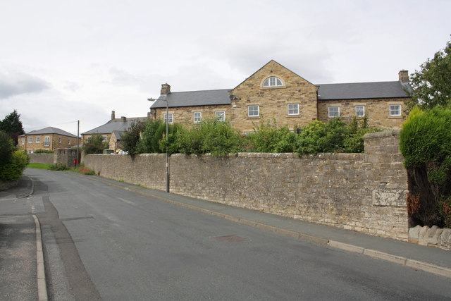
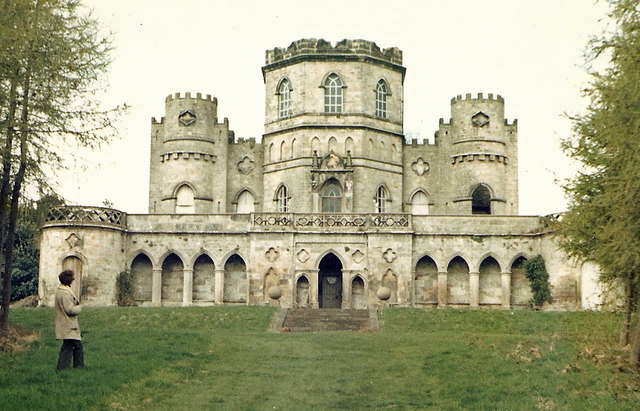
Aske Hall, located in Richmond, North Yorkshire, is a historic and prestigious country house that holds great significance in the region's heritage. Built in the 18th century, the hall stands as a fine example of Georgian architecture, showcasing the elegance and grandeur of the era.

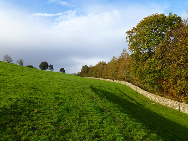
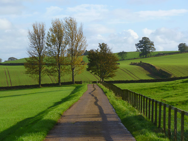
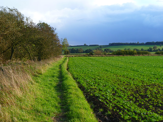
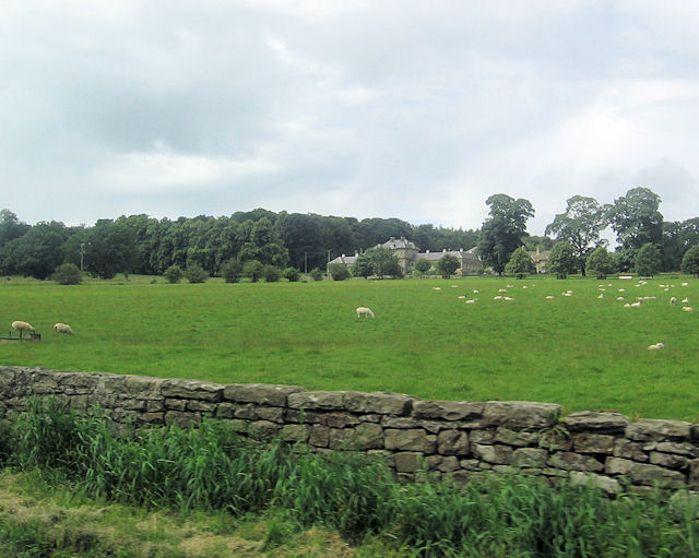
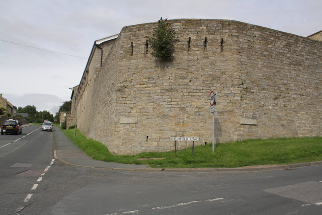
The hall is nestled within a vast estate encompassing around 1,500 acres of picturesque parkland, including lush gardens and serene woodland. The estate offers breathtaking views of the surrounding Yorkshire Dales, making it a popular destination for nature enthusiasts and history buffs alike.

Inside Aske Hall, visitors are treated to a remarkable display of period furnishings, exquisite artwork, and intricate craftsmanship. The opulent interiors reflect the luxurious lifestyle of its former inhabitants, including the prominent Dawnay family, who resided here for several generations.

The estate also boasts a stunning chapel, which dates back to the 12th century. This beautiful place of worship features remarkable stained glass windows, intricate woodwork, and a peaceful ambiance that invites contemplation and reflection.

In addition to its architectural and historical significance, Aske Hall serves as a venue for various events and functions, from weddings and corporate gatherings to cultural exhibitions and art showcases. Its magnificent surroundings and well-preserved heritage make it an ideal setting for creating unforgettable memories.

Aske Hall, with its rich history, breathtaking scenery, and cultural importance, remains a cherished heritage site in Yorkshire, attracting visitors from near and far who seek to immerse themselves in the grandeur of the past.

If you have any feedback on the listing, please let us know in the comments section below.
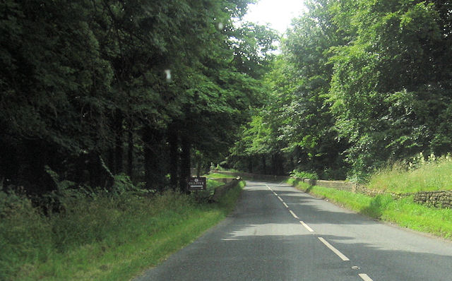
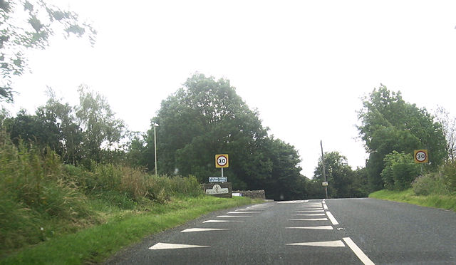
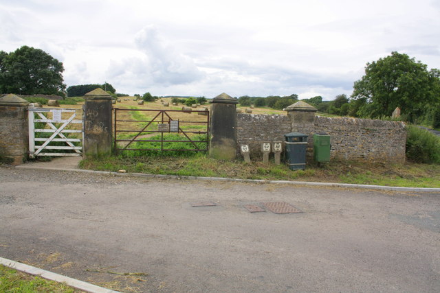
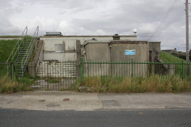
Aske Hall Images

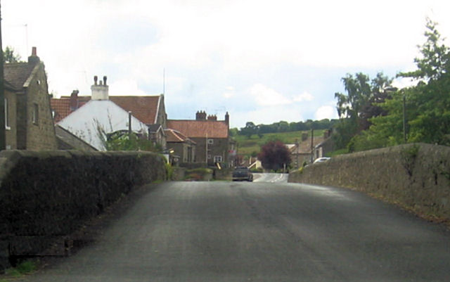
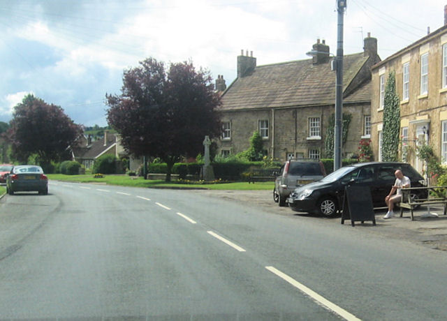
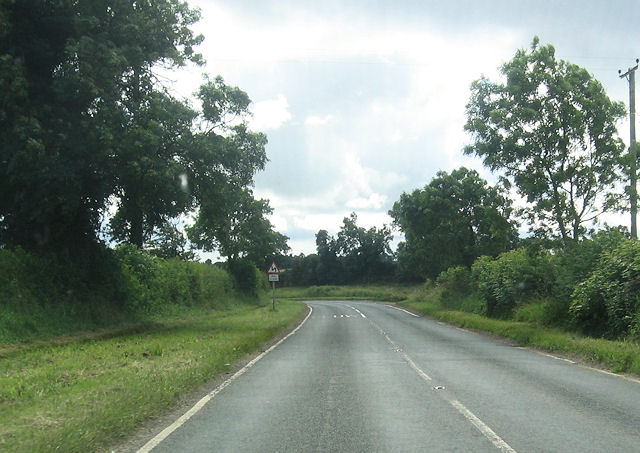
Images are sourced within 2km of 54.427/-1.73 or Grid Reference NZ1703. Thanks to Geograph Open Source API. All images are credited.

Pasture and woodland, Gilling The public bridleway follows the edge of The Ashes to the west of Gillingwood Hall.
Pasture and woodland, Gilling
The public bridleway follows the edge of The Ashes to the west of Gillingwood Hall.
Farm road and farmland, Gilling The public bridleway heading away from Gillingwood Hall.
Farm road and farmland, Gilling
The public bridleway heading away from Gillingwood Hall.
Farmland, Gilling The footpath heading towards Skeeby beside a crop of oil-seed rape.
Farmland, Gilling
The footpath heading towards Skeeby beside a crop of oil-seed rape.
Ripening crop Crabtree Farm on the skyline.
Ripening crop
Crabtree Farm on the skyline.
Road through Gilling West
Crossing Gilling bridge
Gilling West From south of The White Swan
Gilling West
From south of The White Swan
B6274 at double bends South of Gilling West
B6274 at double bends
South of Gilling West
Grazing land by B6274 Aske Hall in the background
Grazing land by B6274
Aske Hall in the background
B6274 approaching Aske Bridge Gates to Aske Hall and to Olliver cottages here
B6274 approaching Aske Bridge
Gates to Aske Hall and to Olliver cottages here
B6274 approaching Richmond
Benchmark on wall pier at entrance to Richmond Racecourse Ordnance Survey cut mark benchmark described on the Bench Mark Database at <span class="nowrap"><a title="http://www.bench-marks.org.uk/bm44924" rel="nofollow ugc noopener" href="http://www.bench-marks.org.uk/bm44924">Link</a><img style="margin-left:2px;" alt="External link" title="External link - shift click to open in new window" src="https://s1.geograph.org.uk/img/external.png" width="10" height="10"/></span>
Benchmark on wall pier at entrance to Richmond Racecourse
Ordnance Survey cut mark benchmark described on the Bench Mark Database at LinkExternal link
Whashton Road entrance to Richmond Racecourse The former racecourse now provides walking and dog exercising opportunities. There is an OS benchmark <a href="https://www.geograph.org.uk/photo/3152032">NZ1702 : Benchmark on wall pier at entrance to Richmond Racecourse</a> on the wall pier behind the dog waste bin.
Whashton Road entrance to Richmond Racecourse
The former racecourse now provides walking and dog exercising opportunities. There is an OS benchmark NZ1702 : Benchmark on wall pier at entrance to Richmond Racecourse on the wall pier behind the dog waste bin.
Benchmark on former barracks, Beechfield Road Ordnance Survey cut mark benchmark described on the Bench Mark Database at <span class="nowrap"><a title="http://www.bench-marks.org.uk/bm44983" rel="nofollow ugc noopener" href="http://www.bench-marks.org.uk/bm44983">Link</a><img style="margin-left:2px;" alt="External link" title="External link - shift click to open in new window" src="https://s1.geograph.org.uk/img/external.png" width="10" height="10"/></span>
Benchmark on former barracks, Beechfield Road
Ordnance Survey cut mark benchmark described on the Bench Mark Database at LinkExternal link
Former barracks at junction of Beechfield Road and Galloway There is an OS benchmark <a href="https://www.geograph.org.uk/photo/3209029">NZ1701 : Benchmark on former barracks, Beechfield Road</a> on the corner of the building
Former barracks at junction of Beechfield Road and Galloway
There is an OS benchmark NZ1701 : Benchmark on former barracks, Beechfield Road on the corner of the building
Benchmark on wall angle next to #21 Beechfield Road The Ordnance Survey cut mark benchmark is on an inscribed stone (the last word is 'SOUTH') and is described on the Bench Mark Database at <span class="nowrap"><a title="http://www.bench-marks.org.uk/bm44984" rel="nofollow ugc noopener" href="http://www.bench-marks.org.uk/bm44984">Link</a><img style="margin-left:2px;" alt="External link" title="External link - shift click to open in new window" src="https://s1.geograph.org.uk/img/external.png" width="10" height="10"/></span>
Benchmark on wall angle next to #21 Beechfield Road
The Ordnance Survey cut mark benchmark is on an inscribed stone (the last word is 'SOUTH') and is described on the Bench Mark Database at LinkExternal link
Housing provided by converted barracks, Beechfield Road There is an OS benchmark <a href="https://www.geograph.org.uk/photo/3209091">NZ1701 : Benchmark on wall angle next to #21 Beechfield Road</a> on the inscribed stone inserted in the wall end near the right hand side of the image
Housing provided by converted barracks, Beechfield Road
There is an OS benchmark NZ1701 : Benchmark on wall angle next to #21 Beechfield Road on the inscribed stone inserted in the wall end near the right hand side of the image
High Zone - Coalsgarth covered reservoir, Whashton Road The white mushroom-like instrument on the top right of the reservoir is an Ordnance Survey active triangulation station, <span class="nowrap"><a title="http://trigpointinguk.com/trigs/trig-details.php?t=7385" rel="nofollow ugc noopener" href="http://trigpointinguk.com/trigs/trig-details.php?t=7385">Link</a><img style="margin-left:2px;" alt="External link" title="External link - shift click to open in new window" src="https://s1.geograph.org.uk/img/external.png" width="10" height="10"/></span>
High Zone - Coalsgarth covered reservoir, Whashton Road
The white mushroom-like instrument on the top right of the reservoir is an Ordnance Survey active triangulation station, LinkExternal link
Show me another place!

Aske Hall is located at Grid Ref: NZ1703 (Lat: 54.427, Lng: -1.73)

Division: North Riding

Police Authority: North Yorkshire

What 3 Words

///presume.glitz.storeroom. Near Richmond, North Yorkshire

Related Wikis

Aske, North Yorkshire

Aske is a civil parish in the Richmondshire district of North Yorkshire, England, about two miles north of Richmond. According to the 2001 census it had...

Aske Hall

Aske Hall is a Georgian country house, with parkland attributed to Capability Brown, 1.5 miles (2.4 km) north of Richmond, North Yorkshire, England. It...

Gilling West

Gilling West is a village about 3.5 miles (5.6 km) north of Richmond in the Richmondshire district of North Yorkshire, England. It is located in the civil...

Richmond Barracks, North Yorkshire

Richmond Barracks was a military installation in Richmond, North Yorkshire. == History == The barracks were built as the depot of the two battalions of...

Richmond Racecourse

Richmond Racecourse was a British horse racing track situated at Richmond, North Yorkshire at first High Moor, then Low Moor, from 1765 to 1776. It was...

St Francis Xavier School, North Yorkshire

St. Francis Xavier School is a coeducational secondary school situated on Darlington Road, Richmond, North Yorkshire, England. It is a joint Roman Catholic...

Richmond School

Richmond School & Sixth Form College, often referred to simply as Richmond School, is a coeducational secondary school located in North Yorkshire, England...

Victoria Hospital, Richmond

The Victoria Hospital was a health facility in Queen's Road, Richmond, North Yorkshire, England. It is now used as a funeral director's offices and remains...

Nearby Amenities

Located within 500m of 54.427,-1.73
Barrier: yes
Lat/Long: 54.4266328/-1.7257652
Aske Estate
Place: locality
Lat/Long: 54.4265103/-1.7288562
Aske Park
Place: locality
Lat/Long: 54.4229043/-1.7323596
The data included in this document is from www.openstreetmap.org. The data is made available under ODbL.

Have you been to Aske Hall?

Leave your review of Aske Hall below (or comments, questions and feedback).