Askerton Castle
Heritage Site in Cumberland Carlisle
England
Askerton Castle
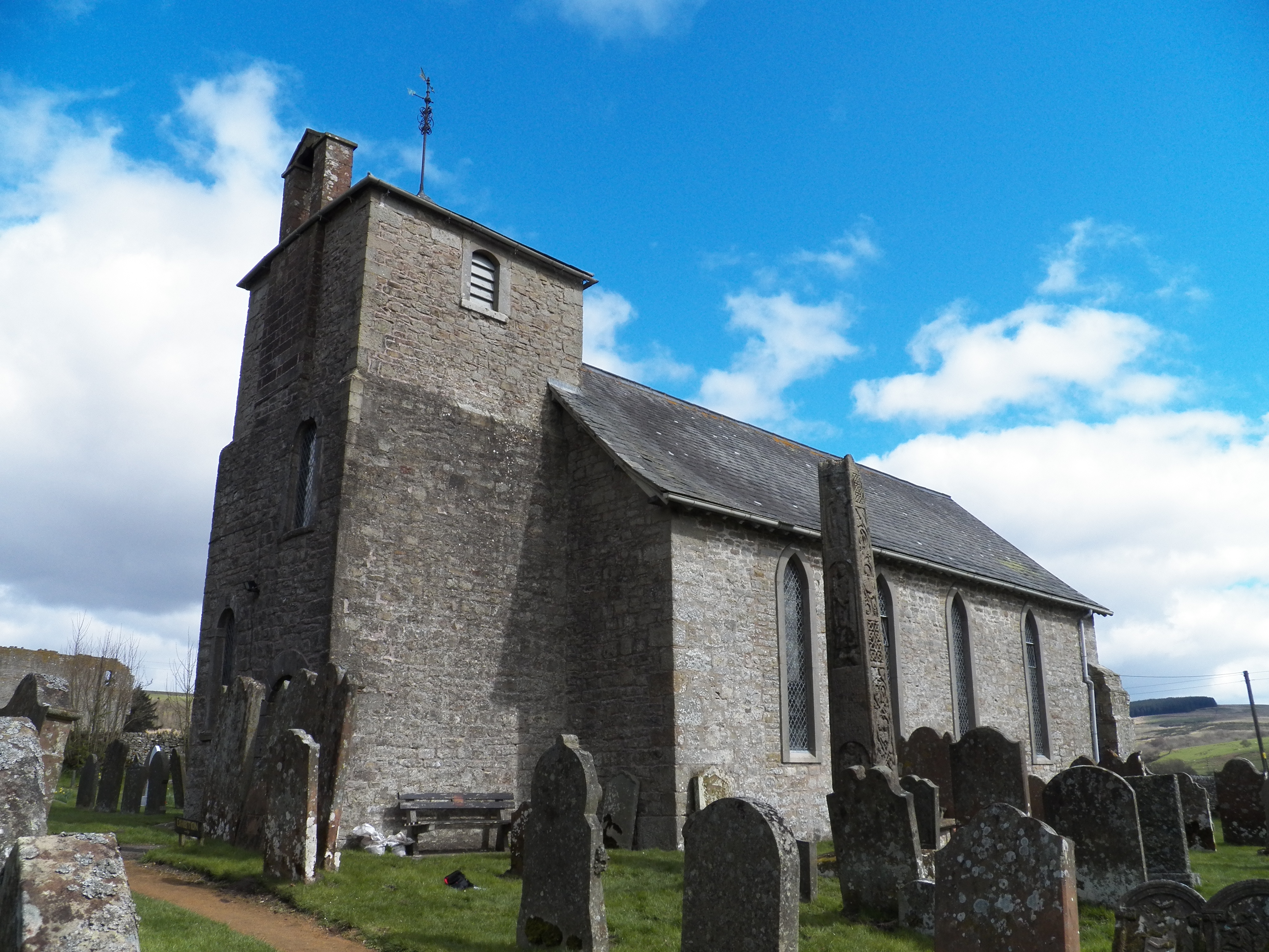
Askerton Castle is a historic site located in the county of Cumberland, England. Situated near the village of Askerton, the castle holds significant historical and architectural value. The origins of the castle can be traced back to the 14th century when it was constructed as a fortified tower house.
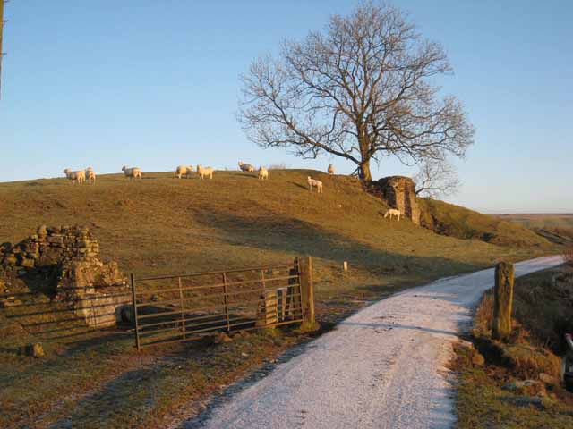
The castle is built on a prominent hilltop, providing a strategic vantage point over the surrounding landscape. It was originally designed to serve as a defensive structure, protecting the local area from potential threats. Over time, the castle underwent several modifications and expansions, reflecting the changing needs and tastes of its occupants.
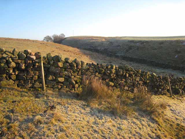
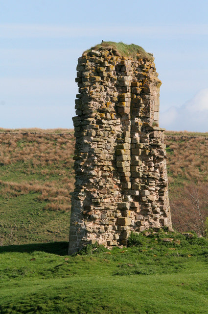
The architecture of Askerton Castle is a remarkable example of medieval construction techniques. The walls are constructed from local stone, providing a sturdy and imposing appearance. The castle also features a distinctive square tower, which stands as a testament to the defensive purpose of the structure.
Throughout its history, Askerton Castle has been home to various noble families and witnessed numerous historical events. Today, the castle stands as a heritage site, preserved and maintained by local authorities. Visitors to the site can explore the castle's interior, which has been partially restored and houses a museum showcasing the history of the local area.
The castle's location amidst scenic countryside makes it a popular attraction for tourists and history enthusiasts alike. The site offers stunning views of the surrounding landscape and provides an opportunity to step back in time and experience the rich history of Cumberland.
If you have any feedback on the listing, please let us know in the comments section below.
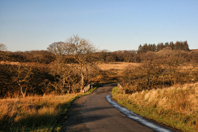
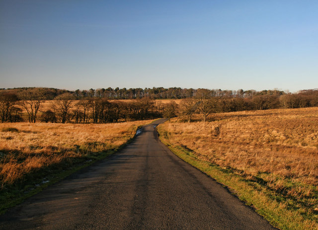
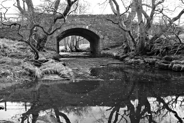
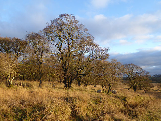
Askerton Castle Images
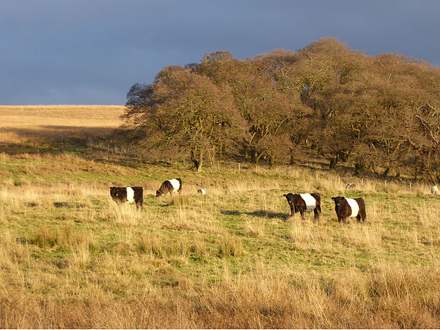
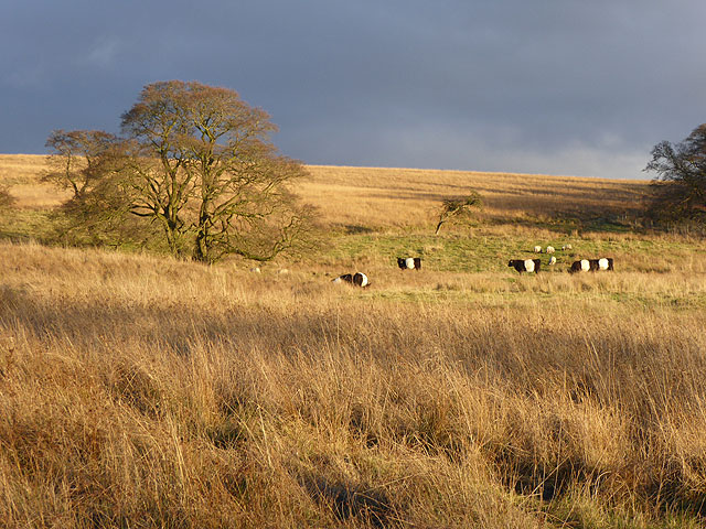
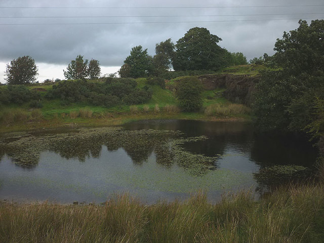
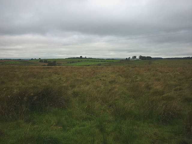
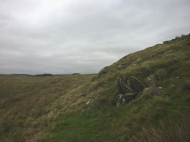
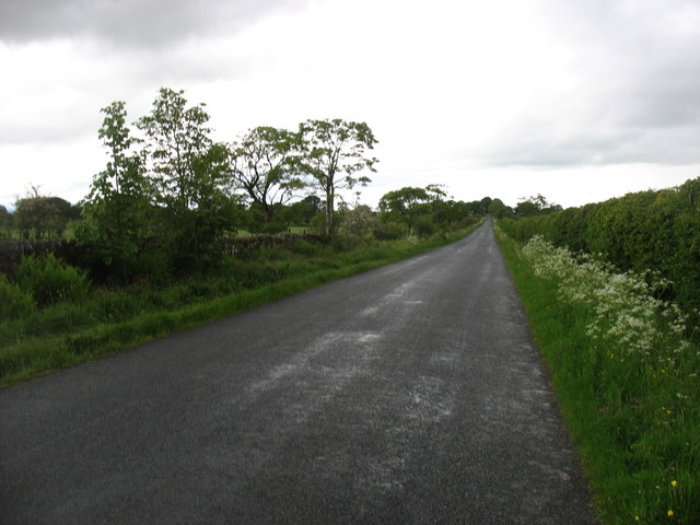
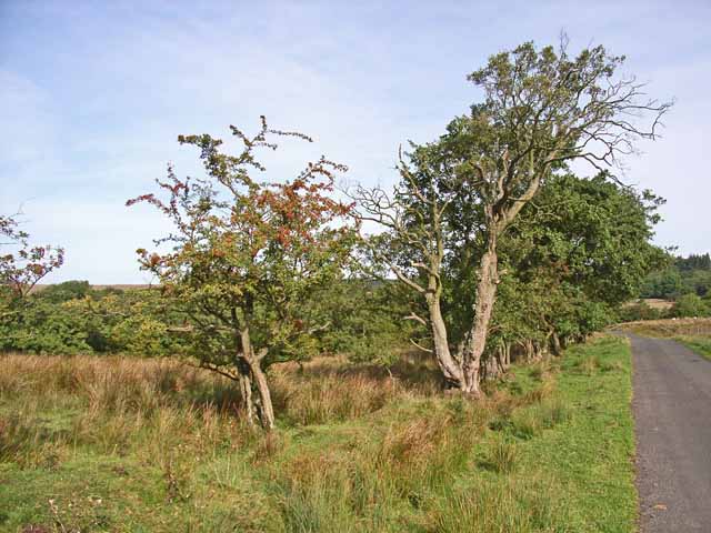
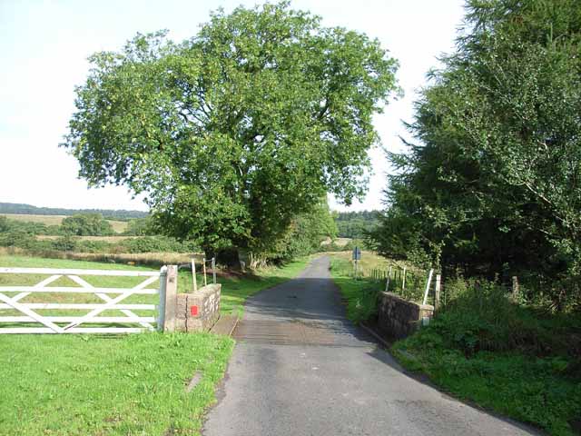
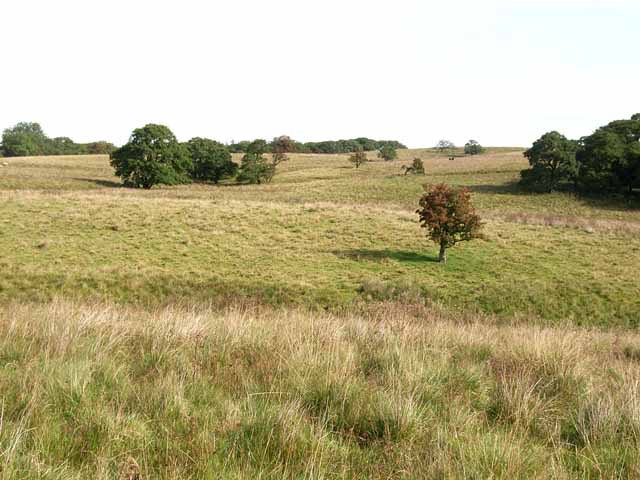
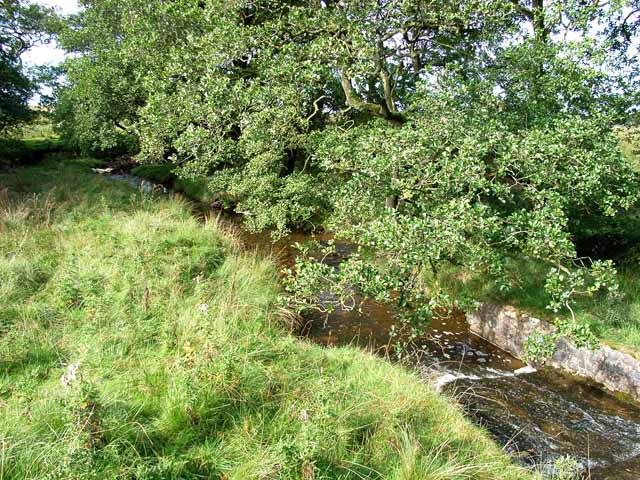
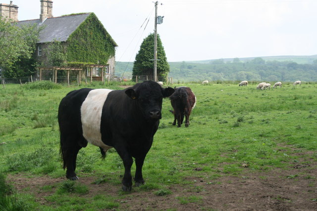
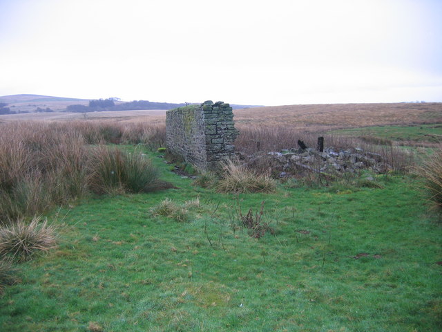
Images are sourced within 2km of 55.018/-2.697 or Grid Reference NY5569. Thanks to Geograph Open Source API. All images are credited.
Askerton Castle is located at Grid Ref: NY5569 (Lat: 55.018, Lng: -2.697)
Administrative County: Cumbria
District: Carlisle
Police Authority: Cumbria
What 3 Words
///resist.engulfing.pirates. Near Brampton, Cumbria
Nearby Locations
Related Wikis

Askerton
Askerton is a civil parish in the City of Carlisle district of Cumbria, England. It has a population of 162 according to the 2001 census, decreasing to...

Askerton Castle
Askerton Castle is a medieval fortified manor house in Cumbria, England. == History == Askerton Castle was built in the parish of Askerton in Cumbria around...

Kingwater
Kingwater is a civil parish in City of Carlisle district, Cumbria, England. At the 2011 census it had a population of 170.The parish is bordered to the...
Triermain Castle
Triermain Castle was a castle near Brampton, Cumbria, England. Triermain, Cumbria (Trewermain, Treverman c 1200): 'homestead at the stone' (Welsh tre(f...

Milecastle 53
Milecastle 53 (Banks Burn) was a milecastle on Hadrian's Wall (grid reference NY56486460). == Description == Milecastle 53 is west of the hamlet of Banks...
Milecastle 54
Milecastle 54 (Randylands) was a milecastle on Hadrian's Wall (grid reference NY55066444). == Description == Milecastle 54 is on a west-facing hill-slope...
Bewcastle
Bewcastle is a large civil parish in the Cumberland unitary authority area of Cumbria, England. It is in the historic county of Cumberland. According to...

Banks, Cumbria
Banks is a village in Cumbria, England, astride the course of Hadrian's Wall, 3 mile (5 km) NE of the market town of Brampton. The historic Lanercost Priory...
Nearby Amenities
Located within 500m of 55.018,-2.697Have you been to Askerton Castle?
Leave your review of Askerton Castle below (or comments, questions and feedback).