Gallows Hill
Hill, Mountain in Cumberland Carlisle
England
Gallows Hill
Gallows Hill is a prominent landmark located in Cumberland, a town in Providence County, Rhode Island, United States. This hill, also referred to as Cumberland Hill or Cumberland Mountain, is situated in the northern part of town and stands at an elevation of approximately 490 feet (149 meters).
The name "Gallows Hill" has historical significance, as it is believed that during the colonial era, this site was used as a location for public executions. The exact details and number of executions are unclear, but local folklore suggests that several convicted criminals met their fate on the hill.
Today, Gallows Hill is primarily known for its picturesque views and recreational opportunities. The hill is densely covered with trees, providing a serene and natural setting for hikers, nature enthusiasts, and photographers. Several trails wind through the area, allowing visitors to explore the hill's diverse flora and fauna.
Cumberland Hill is also home to a variety of wildlife, including deer, foxes, and various bird species, making it a popular destination for birdwatching. The hill's summit offers panoramic views of the surrounding landscape, including Cumberland's rolling hills, forests, and nearby lakes.
Additionally, Gallows Hill has become a popular spot for outdoor activities such as picnicking, kite-flying, and sledding during the winter months. Its accessibility and proximity to residential areas make it a favored destination for locals and visitors alike.
In conclusion, Gallows Hill in Cumberland, Rhode Island, is a historically significant landmark that now serves as a recreational haven, offering stunning views, peaceful trails, and a wealth of natural beauty to those who venture to its summit.
If you have any feedback on the listing, please let us know in the comments section below.
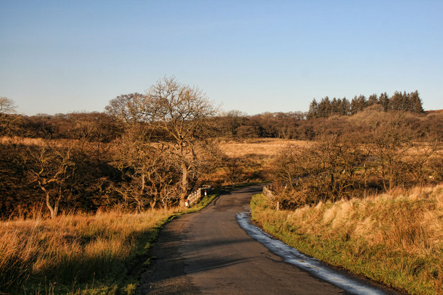
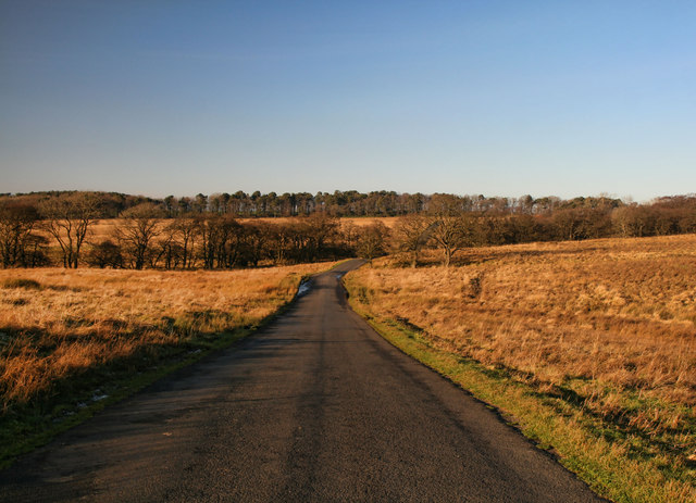
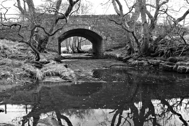
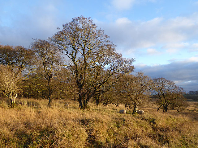
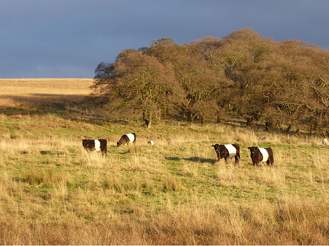
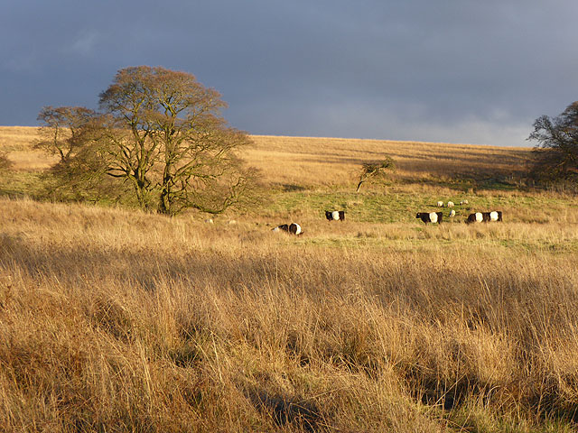
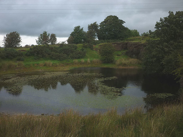
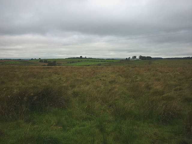
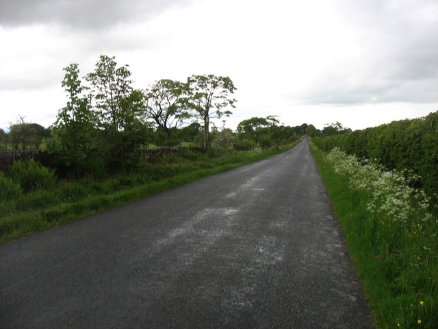
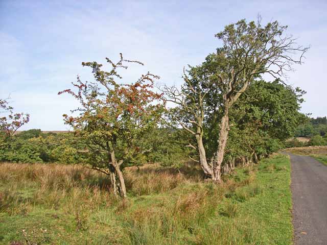
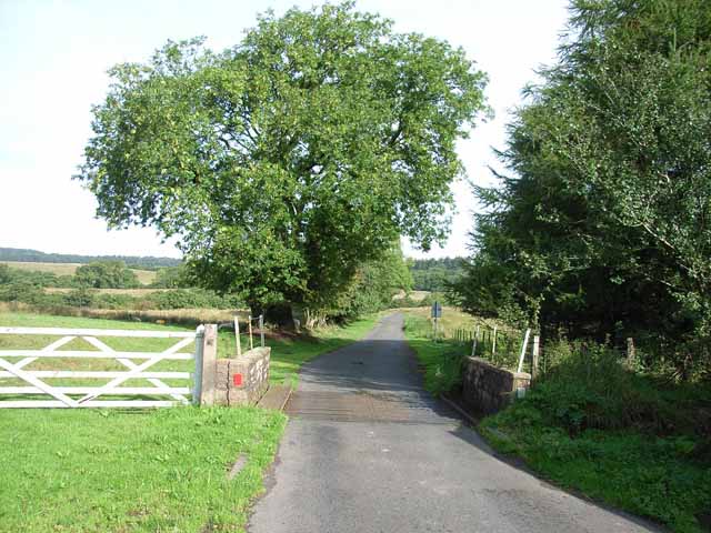
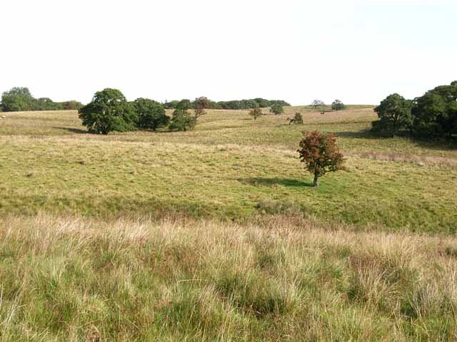
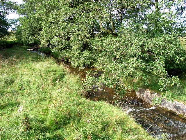
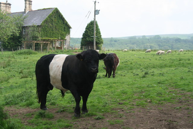
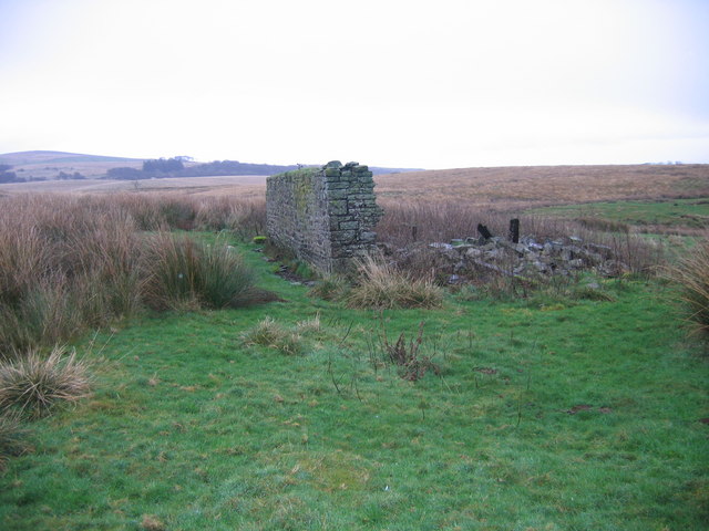
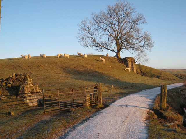
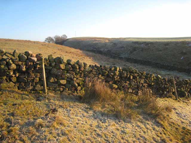
Gallows Hill Images
Images are sourced within 2km of 55.018757/-2.6999068 or Grid Reference NY5569. Thanks to Geograph Open Source API. All images are credited.

Gallows Hill is located at Grid Ref: NY5569 (Lat: 55.018757, Lng: -2.6999068)
Administrative County: Cumbria
District: Carlisle
Police Authority: Cumbria
What 3 Words
///surnames.position.clapper. Near Brampton, Cumbria
Nearby Locations
Related Wikis

Askerton
Askerton is a civil parish in the City of Carlisle district of Cumbria, England. It has a population of 162 according to the 2001 census, decreasing to...

Askerton Castle
Askerton Castle is a medieval fortified manor house in Cumbria, England. == History == Askerton Castle was built in the parish of Askerton in Cumbria around...

Kingwater
Kingwater is a civil parish in City of Carlisle district, Cumbria, England. At the 2011 census it had a population of 170.The parish is bordered to the...
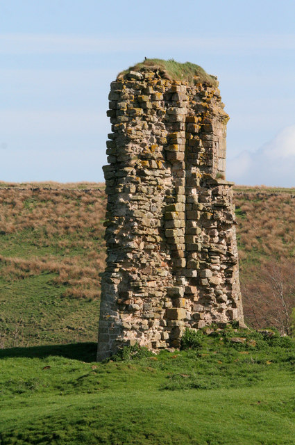
Triermain Castle
Triermain Castle was a castle near Brampton, Cumbria, England. Triermain, Cumbria (Trewermain, Treverman c 1200): 'homestead at the stone' (Welsh tre(f...
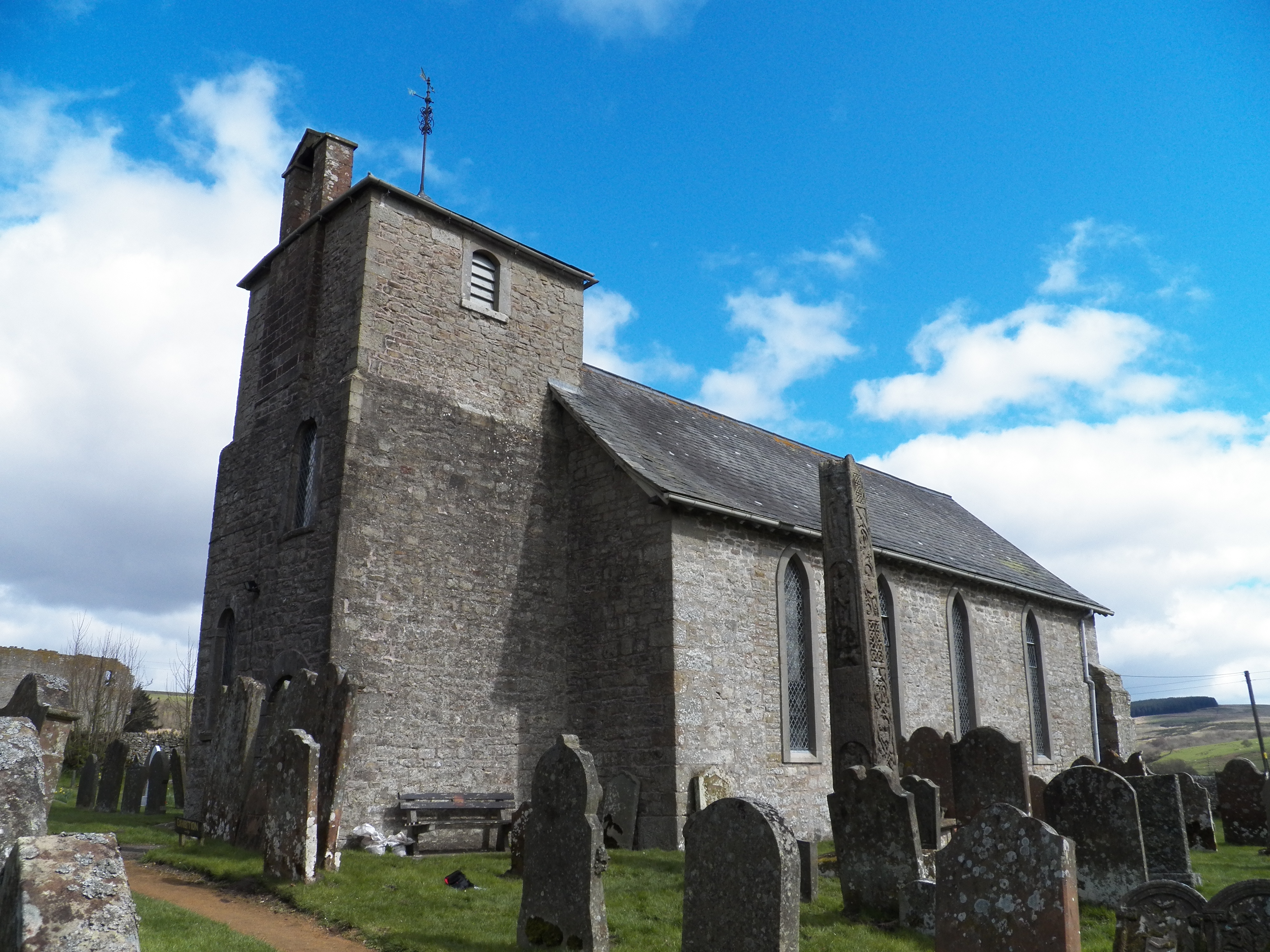
Bewcastle
Bewcastle is a large civil parish in the Cumberland unitary authority area of Cumbria, England. It is in the historic county of Cumberland. According to...

Milecastle 53
Milecastle 53 (Banks Burn) was a milecastle on Hadrian's Wall (grid reference NY56486460). == Description == Milecastle 53 is west of the hamlet of Banks...

Bewcastle Cross
The Bewcastle Cross is an Anglo-Saxon cross which is still in its original position within the churchyard of St Cuthbert's church at Bewcastle, in the...

Bewcastle Roman Fort
Bewcastle Roman Fort was built to the north of Hadrian's Wall as an outpost fort possibly intended for scouting and intelligence. The remains of the fort...
Nearby Amenities
Located within 500m of 55.018757,-2.6999068Have you been to Gallows Hill?
Leave your review of Gallows Hill below (or comments, questions and feedback).