Asthall Barrow

Heritage Site in Oxfordshire West Oxfordshire

England

Asthall Barrow

A40 south of Worsham
A40 south of Worsham Credit: Colin Pyle

Asthall Barrow is a historic heritage site located in Oxfordshire, England. It is a Bronze Age burial mound that dates back to around 1800 BCE. The barrow is situated on a gentle slope overlooking the Windrush Valley, providing stunning views of the surrounding countryside.

The Asthall Barrow is a circular mound, approximately 30 meters in diameter and 3 meters high. It is made up of compacted earth and stones, creating a solid structure that has withstood the test of time. The burial mound is believed to have been used for the interment of high-status individuals, possibly tribal leaders or important community members.

Archaeological excavations carried out in the 19th century revealed the presence of cremated human remains, along with pottery and other grave goods. These artifacts suggest that the site was used for ceremonial purposes, and provide valuable insight into the beliefs and practices of the Bronze Age people who inhabited the area.

Today, Asthall Barrow is protected as a Scheduled Ancient Monument, ensuring its preservation for future generations. It is a popular destination for history enthusiasts, archaeologists, and tourists alike, who are drawn to the site's rich cultural and historical significance. Visitors can explore the barrow and its surroundings, taking in the breathtaking views of the Windrush Valley and immersing themselves in the ancient history of the area.

If you have any feedback on the listing, please let us know in the comments section below.

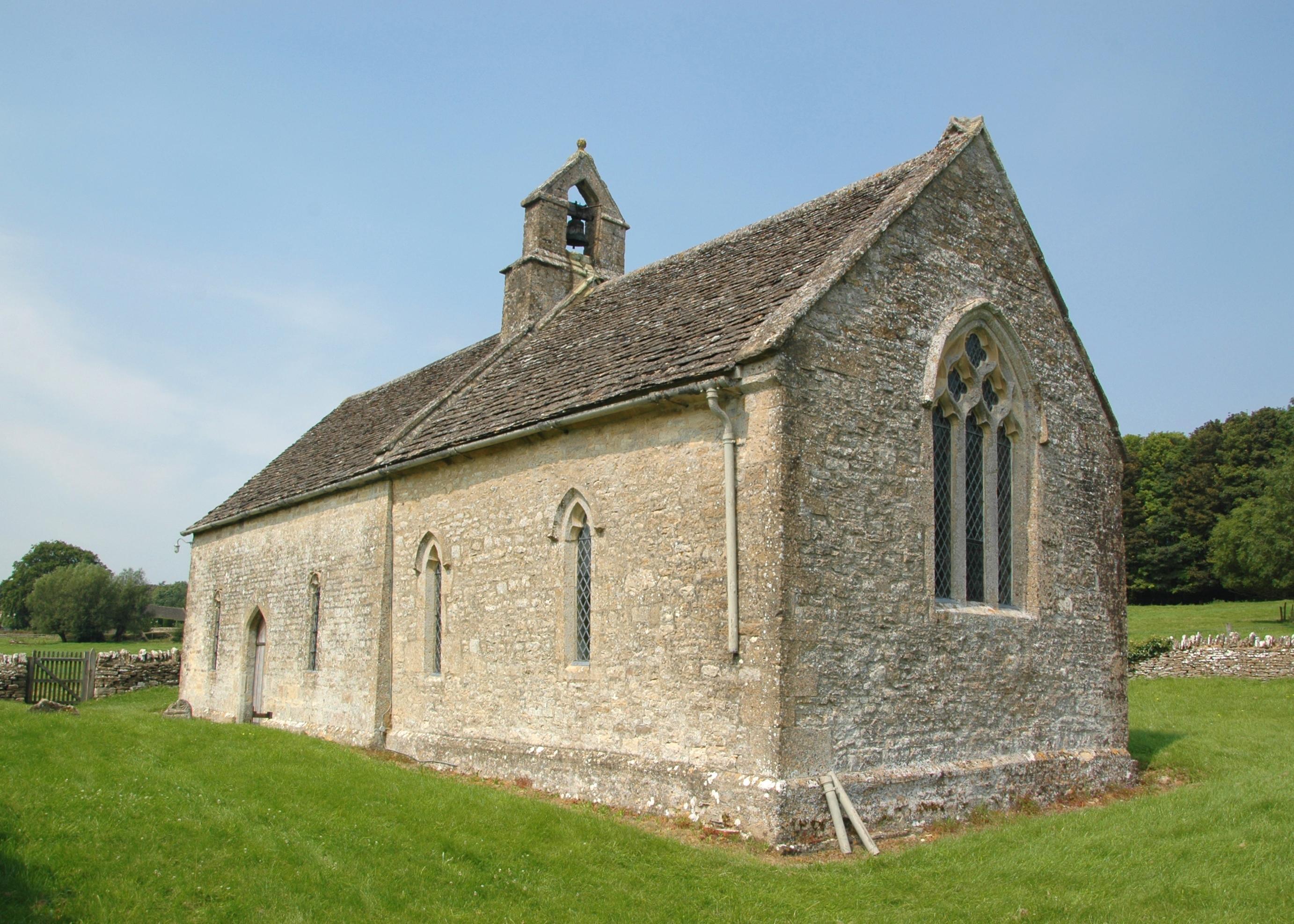
Asthall Barrow Images

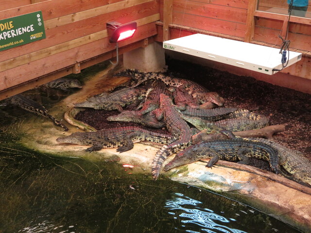
Images are sourced within 2km of 51.792/-1.587 or Grid Reference SP2810. Thanks to Geograph Open Source API. All images are credited.

A40 south of Worsham
Entrance/exit at Crocodiles of the World
Crocodiles of the World Some of the residents at this attraction.
Crocodiles of the World
Some of the residents at this attraction.
Bridlepath across the A40 The gap in the central reservation's barriers indicates the course of the bridlepath.
Bridlepath across the A40
The gap in the central reservation's barriers indicates the course of the bridlepath.
A40 near Asthall Barrow Alas the dual carriageway will end shortly, with a road more suited to the 1940s ensuring a tedious journey hence to Cheltenham.
A40 near Asthall Barrow
Alas the dual carriageway will end shortly, with a road more suited to the 1940s ensuring a tedious journey hence to Cheltenham.
The entrance to Foxbury Farm Shop
Road to Brize Norton Sign on the roadside warning of ice, though now the weather has finally warmed up this spring, ice shouldn't be a problem for the time being. The house to the left of the photo is 'Lingermans'.
Road to Brize Norton
Sign on the roadside warning of ice, though now the weather has finally warmed up this spring, ice shouldn't be a problem for the time being. The house to the left of the photo is 'Lingermans'.
Allotments access road, near Carterton, Oxon The access road is off Kilkenny Lane, which now has restricted access.
Allotments access road, near Carterton, Oxon
The access road is off Kilkenny Lane, which now has restricted access.
Restricted access on Kilkenny Lane, looking west, near Carterton, Oxon Kilkenny Lane has its access restricted at this point. Only pedestrians and cyclists are supposed to pass through.

<a href="https://www.geograph.org.uk/photo/4543991">SP2708 : Restricted access on Kilkenny Lane, looking east, near Carterton, Oxon</a>.
Restricted access on Kilkenny Lane, looking west, near Carterton, Oxon
Kilkenny Lane has its access restricted at this point. Only pedestrians and cyclists are supposed to pass through. SP2708 : Restricted access on Kilkenny Lane, looking east, near Carterton, Oxon.
Restricted access on Kilkenny Lane, looking east, near Carterton, Oxon Kilkenny Lane has its access restricted at this point. Only pedestrians and cyclists are supposed to pass through.

<a href="https://www.geograph.org.uk/photo/4543982">SP2708 : Restricted access on Kilkenny Lane, looking west, near Carterton, Oxon</a>.
Restricted access on Kilkenny Lane, looking east, near Carterton, Oxon
Kilkenny Lane has its access restricted at this point. Only pedestrians and cyclists are supposed to pass through. SP2708 : Restricted access on Kilkenny Lane, looking west, near Carterton, Oxon.
Bridleways off Kilkenny Lane, near Carterton, Oxon At this sharp bend in Kilkenny Lane, two bridleways commence.  One ahead commences between hedges. To the right, and not visible in this view, another commences by going adjacent to the hedge on the field edge. By the bridleway signpost is a dog waste bin.
Bridleways off Kilkenny Lane, near Carterton, Oxon
At this sharp bend in Kilkenny Lane, two bridleways commence. One ahead commences between hedges. To the right, and not visible in this view, another commences by going adjacent to the hedge on the field edge. By the bridleway signpost is a dog waste bin.
A ride between avenues of trees, near Carterton, Oxon This appears as if it is, or was, a ride for horse-riding, set between two avenues of trees. Photographed from Kilkenny Lane.
A ride between avenues of trees, near Carterton, Oxon
This appears as if it is, or was, a ride for horse-riding, set between two avenues of trees. Photographed from Kilkenny Lane.
Kilkenny Lane, near Carterton, Oxon In the distance the lane takes a very sharp turn left. At that point there are two bridleways which commence there.

<a href="https://www.geograph.org.uk/photo/4544011">SP2708 : Bridleways off Kilkenny Lane, near Carterton, Oxon</a>.
Kilkenny Lane, near Carterton, Oxon
In the distance the lane takes a very sharp turn left. At that point there are two bridleways which commence there. SP2708 : Bridleways off Kilkenny Lane, near Carterton, Oxon.
Junction of bridleway with Kilkenny Lane, near Carterton, Oxon The bridleway is on the left. Kilkenny Lane is going off to the right.
Junction of bridleway with Kilkenny Lane, near Carterton, Oxon
The bridleway is on the left. Kilkenny Lane is going off to the right.
Kilkenny Lane, near Carterton, Oxon Kilkenny Lane is on its way back to the northern outskirts of Carterton. It is planned to extend the town further with more housing and more facilities.
Kilkenny Lane, near Carterton, Oxon
Kilkenny Lane is on its way back to the northern outskirts of Carterton. It is planned to extend the town further with more housing and more facilities.
Fields near Kilkenny Lane, near Carterton,Oxon Photographed from Kilkenny Lane.
Fields near Kilkenny Lane, near Carterton,Oxon
Photographed from Kilkenny Lane.
Small tortoiseshell butterfly in Kilkenny Lane, near Carterton, Oxon On a sunny June day there were a lot of butterflies of different species to be seen in this area. Maybe their conservation will be assisted by the recent creation very nearby of a new country park called Kilkenny Lane Country Park. This particular butterfly was photographed in the hedgerow in Kilkenny Lane.
Small tortoiseshell butterfly in Kilkenny Lane, near Carterton, Oxon
On a sunny June day there were a lot of butterflies of different species to be seen in this area. Maybe their conservation will be assisted by the recent creation very nearby of a new country park called Kilkenny Lane Country Park. This particular butterfly was photographed in the hedgerow in Kilkenny Lane.
A40 eastbound at Stud Farm
Show me another place!

Asthall Barrow is located at Grid Ref: SP2810 (Lat: 51.792, Lng: -1.587)

Administrative County: Oxfordshire

District: West Oxfordshire

Police Authority: Thames Valley

What 3 Words

///texted.grid.radiating. Near Minster Lovell, Oxfordshire

Related Wikis

Asthall barrow

Asthall barrow is a high-status Anglo-Saxon burial mound from the seventh century AD. It is located in Asthall, Oxfordshire, and was excavated in 1923...

Asthall

Asthall or Asthal is a village and civil parish on the River Windrush in Oxfordshire, about 6 miles (10 km) west of Witney. It includes the hamlets of...
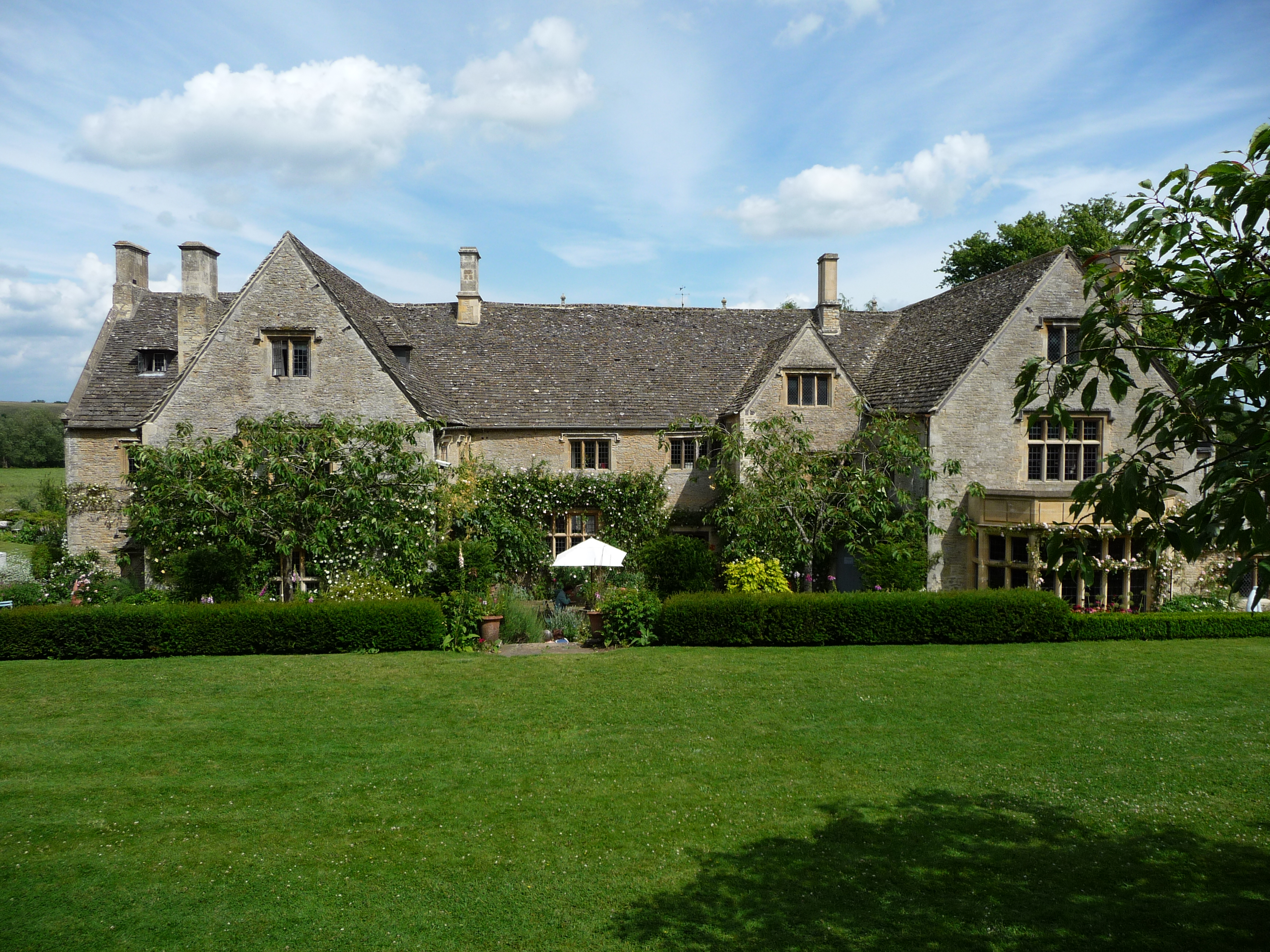
Asthall Manor

Asthall Manor is a gabled Jacobean Cotswold manor house in Asthall, Oxfordshire. It was built in about 1620 and altered and enlarged in about 1916. The...

Worsham, Oxfordshire

Worsham is a hamlet on the River Windrush about 3.5 miles (5.6 km) west of Witney. 0.25 miles (400 m) east of Worsham on the north side of the Windrush...

Crocodiles of the World

Crocodiles of the World is a zoo in Brize Norton, Oxfordshire in the United Kingdom specialising in crocodilia. == History == Crocodiles of the world was...

Swinbrook

Swinbrook is a village and former civil parish, now in the parish of Swinbrook and Widford, in the West Oxfordshire district, in the county of Oxfordshire...

Widford, Oxfordshire

Widford is a deserted medieval village on the River Windrush about 1.5 miles (2.4 km) east of Burford in West Oxfordshire. The village was an exclave of...

Swinbrook and Widford

Swinbrook and Widford is a civil parish in West Oxfordshire district, in the county of Oxfordshire, England. It comprises the village of Swinbrook and...

Nearby Amenities

Located within 500m of 51.792,-1.587
Restaurant
Windmill
Lat/Long: 51.7897284/-1.5840746
Source: Openstreetbugs
Tourism: picnic_site
Lat/Long: 51.7896995/-1.5819042
Power: pole
Source: Bing
Lat/Long: 51.7876307/-1.5864657
Parking
Parking: layby
Source: video_survey;gps_survey
Lat/Long: 51.7897359/-1.585895
Power: pole
Source: Bing
Lat/Long: 51.7910148/-1.5799757
The data included in this document is from www.openstreetmap.org. The data is made available under ODbL.

Have you been to Asthall Barrow?

Leave your review of Asthall Barrow below (or comments, questions and feedback).