High Park

Downs, Moorland in Yorkshire Richmondshire

England

High Park

Richmond Racecourse The derelict grandstand at Richmond Racecourse.
Richmond Racecourse Credit: Peter McDermott

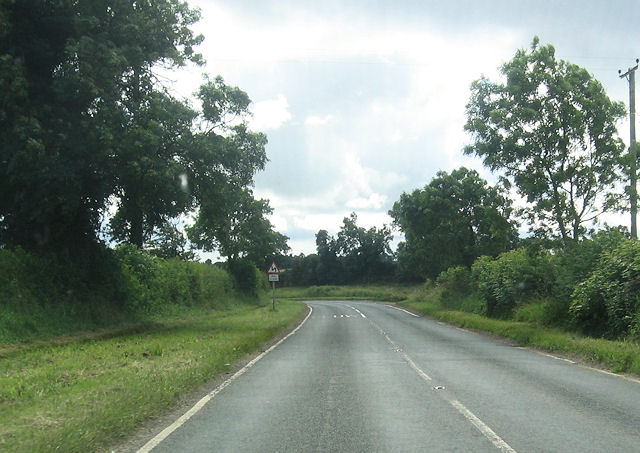
High Park, Yorkshire is a stunning area located in the northern part of England. It is known for its diverse landscape, consisting of expansive downs, captivating moorlands, and picturesque countryside. Covering a vast area, High Park offers visitors an array of natural wonders to explore.

The downs in High Park are characterized by their rolling hills and open grasslands, providing breathtaking panoramic views of the surrounding countryside. These downs are home to a variety of plant species, including wildflowers and grasses, creating a vibrant and colorful landscape during the summer months.

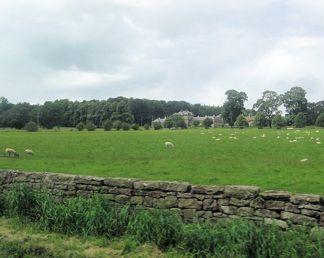
The moorlands in High Park are a haven for wildlife enthusiasts and nature lovers. These vast expanses of open heather moorland are teeming with diverse flora and fauna. Visitors can spot rare bird species, such as the red grouse and golden plover, as well as various mammals, including hares and deer.

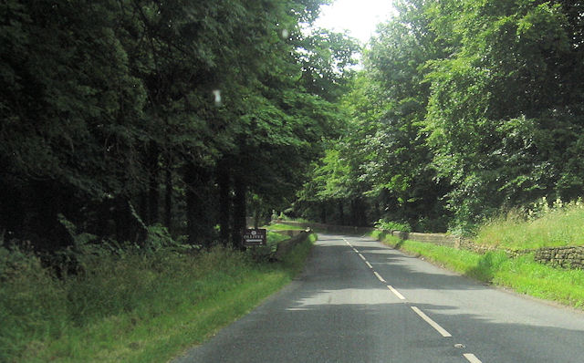
High Park also offers an extensive network of walking trails and hiking routes, allowing visitors to explore the area at their leisure. The trails wind through the downs and moorlands, offering spectacular views and opportunities to connect with nature.

In addition to its natural beauty, High Park also boasts charming villages and towns, where visitors can experience the local culture and hospitality. These communities offer traditional pubs, cozy accommodations, and local produce markets, providing a glimpse into the rich heritage of the area.

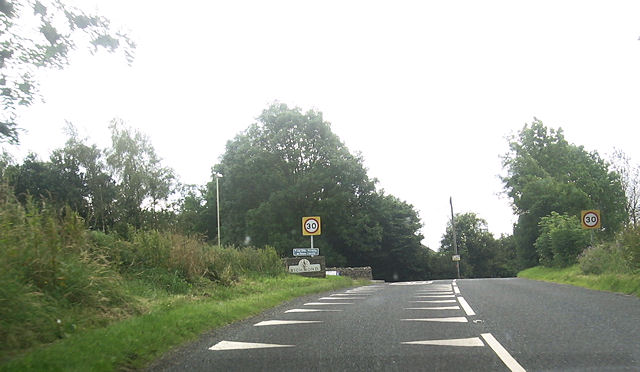
Overall, High Park, Yorkshire is a must-visit destination for nature enthusiasts and those seeking tranquility in a stunning natural setting. Its downs, moorlands, and countryside offer a diverse and captivating experience for visitors of all ages.

If you have any feedback on the listing, please let us know in the comments section below.
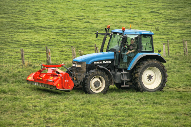
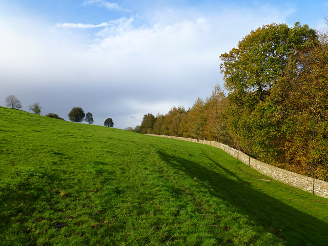
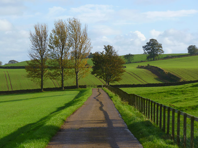
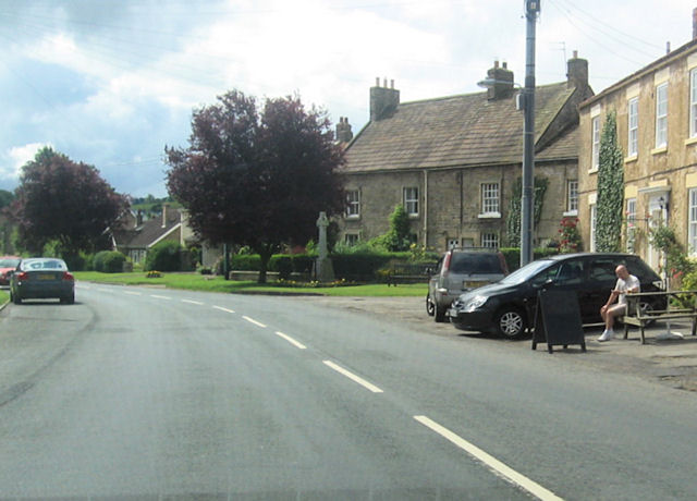
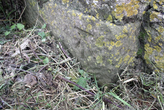
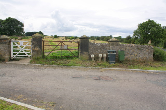
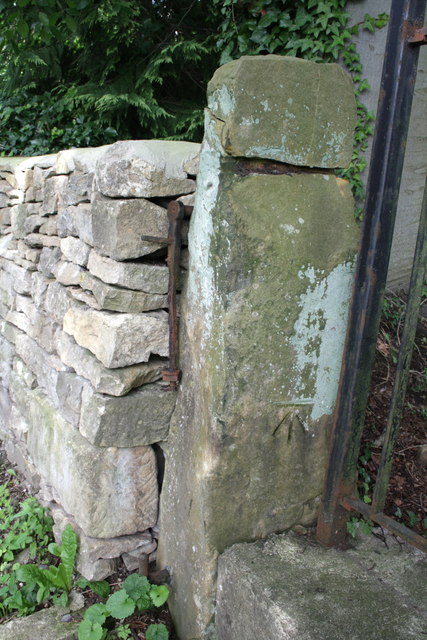
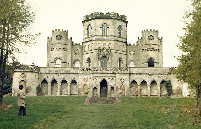
High Park Images

Images are sourced within 2km of 54.425046/-1.7379671 or Grid Reference NZ1703. Thanks to Geograph Open Source API. All images are credited.

Richmond Racecourse The derelict grandstand at Richmond Racecourse.
Richmond Racecourse
The derelict grandstand at Richmond Racecourse.
High Scales Farm Mowing thistles on High Scales Farm.
High Scales Farm
Mowing thistles on High Scales Farm.
Pasture and woodland, Gilling The public bridleway follows the edge of The Ashes to the west of Gillingwood Hall.
Pasture and woodland, Gilling
The public bridleway follows the edge of The Ashes to the west of Gillingwood Hall.
Farm road and farmland, Gilling The public bridleway heading away from Gillingwood Hall.
Farm road and farmland, Gilling
The public bridleway heading away from Gillingwood Hall.
Gilling West From south of The White Swan
Gilling West
From south of The White Swan
B6274 at double bends South of Gilling West
B6274 at double bends
South of Gilling West
Grazing land by B6274 Aske Hall in the background
Grazing land by B6274
Aske Hall in the background
B6274 approaching Aske Bridge Gates to Aske Hall and to Olliver cottages here
B6274 approaching Aske Bridge
Gates to Aske Hall and to Olliver cottages here
B6274 approaching Richmond
Benchmark on ruined barn on Green Howards Road Ordnance Survey cut mark benchmark described on the Bench Mark Database at <span class="nowrap"><a title="http://www.bench-marks.org.uk/bm44981" rel="nofollow ugc noopener" href="http://www.bench-marks.org.uk/bm44981">Link</a><img style="margin-left:2px;" alt="External link" title="External link - shift click to open in new window" src="https://s1.geograph.org.uk/img/external.png" width="10" height="10"/></span>
Benchmark on ruined barn on Green Howards Road
Ordnance Survey cut mark benchmark described on the Bench Mark Database at LinkExternal link
Remains of a barn on Green Howards Road Only a ruined wall remains of the barn but there is still an OS benchmark <a href="https://www.geograph.org.uk/photo/3151829">NZ1701 : Benchmark on ruined barn on Green Howards Road</a> at junction on the building with the wall to its left.
Remains of a barn on Green Howards Road
Only a ruined wall remains of the barn but there is still an OS benchmark NZ1701 : Benchmark on ruined barn on Green Howards Road at junction on the building with the wall to its left.
Benchmark on wall pier at entrance to Richmond Racecourse Ordnance Survey cut mark benchmark described on the Bench Mark Database at <span class="nowrap"><a title="http://www.bench-marks.org.uk/bm44924" rel="nofollow ugc noopener" href="http://www.bench-marks.org.uk/bm44924">Link</a><img style="margin-left:2px;" alt="External link" title="External link - shift click to open in new window" src="https://s1.geograph.org.uk/img/external.png" width="10" height="10"/></span>
Benchmark on wall pier at entrance to Richmond Racecourse
Ordnance Survey cut mark benchmark described on the Bench Mark Database at LinkExternal link
Whashton Road entrance to Richmond Racecourse The former racecourse now provides walking and dog exercising opportunities. There is an OS benchmark <a href="https://www.geograph.org.uk/photo/3152032">NZ1702 : Benchmark on wall pier at entrance to Richmond Racecourse</a> on the wall pier behind the dog waste bin.
Whashton Road entrance to Richmond Racecourse
The former racecourse now provides walking and dog exercising opportunities. There is an OS benchmark NZ1702 : Benchmark on wall pier at entrance to Richmond Racecourse on the wall pier behind the dog waste bin.
Benchmark on Quarry Road gatepost Ordnance Survey cut mark benchmark described on the Bench Mark Database at <span class="nowrap"><a title="http://www.bench-marks.org.uk/bm44977" rel="nofollow ugc noopener" href="http://www.bench-marks.org.uk/bm44977">Link</a><img style="margin-left:2px;" alt="External link" title="External link - shift click to open in new window" src="https://s1.geograph.org.uk/img/external.png" width="10" height="10"/></span>
Benchmark on Quarry Road gatepost
Ordnance Survey cut mark benchmark described on the Bench Mark Database at LinkExternal link
Quarry Road There is an OS benchmark <a href="https://www.geograph.org.uk/photo/3194668">NZ1601 : Benchmark on Quarry Road gatepost</a> on the far gatepost
Quarry Road
There is an OS benchmark NZ1601 : Benchmark on Quarry Road gatepost on the far gatepost
#1 Quarry Road There is an Ordnance Survey cut mark benchmark <span class="nowrap"><a title="http://www.bench-marks.org.uk/bm44978" rel="nofollow ugc noopener" href="http://www.bench-marks.org.uk/bm44978">Link</a><img style="margin-left:2px;" alt="External link" title="External link - shift click to open in new window" src="https://s1.geograph.org.uk/img/external.png" width="10" height="10"/></span> on the corner of the house hidden behind a wooden post
#1 Quarry Road
There is an Ordnance Survey cut mark benchmark LinkExternal link on the corner of the house hidden behind a wooden post
Benchmark on gatepost, Hurgill Road Ordnance Survey cut mark benchmark described on the Bench Mark Database at <span class="nowrap"><a title="http://www.bench-marks.org.uk/bm44980" rel="nofollow ugc noopener" href="http://www.bench-marks.org.uk/bm44980">Link</a><img style="margin-left:2px;" alt="External link" title="External link - shift click to open in new window" src="https://s1.geograph.org.uk/img/external.png" width="10" height="10"/></span>
Benchmark on gatepost, Hurgill Road
Ordnance Survey cut mark benchmark described on the Bench Mark Database at LinkExternal link
Hurgill Road There is an OS benchmark <a href="https://www.geograph.org.uk/photo/3208872">NZ1601 : Benchmark on gatepost, Hurgill Road</a> on the left hand side gatepost beside the matal gate at the right hand side of the image
Hurgill Road
There is an OS benchmark NZ1601 : Benchmark on gatepost, Hurgill Road on the left hand side gatepost beside the matal gate at the right hand side of the image
Show me another place!

High Park is located at Grid Ref: NZ1703 (Lat: 54.425046, Lng: -1.7379671)

Division: North Riding

Administrative County: North Yorkshire

District: Richmondshire

Police Authority: North Yorkshire

What 3 Words

///flame.drawn.dice. Near Richmond, North Yorkshire

Related Wikis

Aske, North Yorkshire

Aske is a civil parish in the Richmondshire district of North Yorkshire, England, about two miles north of Richmond. According to the 2001 census it had...

Aske Hall

Aske Hall is a Georgian country house, with parkland attributed to Capability Brown, 1.5 miles (2.4 km) north of Richmond, North Yorkshire, England. It...

Richmond Racecourse

Richmond Racecourse was a British horse racing track situated at Richmond, North Yorkshire at first High Moor, then Low Moor, from 1765 to 1776. It was...

Richmond Barracks, North Yorkshire

Richmond Barracks was a military installation in Richmond, North Yorkshire. == History == The barracks were built as the depot of the two battalions of...

Victoria Hospital, Richmond

The Victoria Hospital was a health facility in Queen's Road, Richmond, North Yorkshire, England. It is now used as a funeral director's offices and remains...

Gilling West

Gilling West is a village about 3.5 miles (5.6 km) north of Richmond in the Richmondshire district of North Yorkshire, England. It is located in the civil...

St Francis Xavier School, North Yorkshire

St. Francis Xavier School is a coeducational secondary school situated on Darlington Road, Richmond, North Yorkshire, England. It is a joint Roman Catholic...

Richmond School

Richmond School & Sixth Form College, often referred to simply as Richmond School, is a coeducational secondary school located in North Yorkshire, England...

Nearby Amenities

Located within 500m of 54.425046,-1.7379671
Aske Park
Place: locality
Lat/Long: 54.4229043/-1.7323596
Mouldron Belt
Place: locality
Lat/Long: 54.4257347/-1.7414982
High Park
Place: locality
Lat/Long: 54.4245987/-1.7380865
Mouldron
Place: locality
Lat/Long: 54.428718/-1.7410905
The data included in this document is from www.openstreetmap.org. The data is made available under ODbL.

Have you been to High Park?

Leave your review of High Park below (or comments, questions and feedback).