Crow Wood

Wood, Forest in Yorkshire Richmondshire

England

Crow Wood

Pasture and woodland, Gilling The public bridleway follows the edge of The Ashes to the west of Gillingwood Hall.
Pasture and woodland, Gilling Credit: Andrew Smith

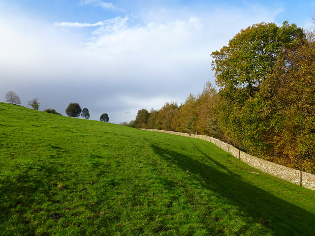
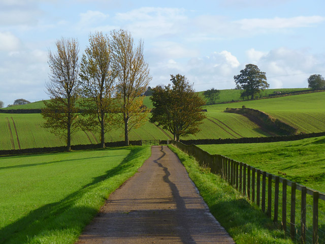
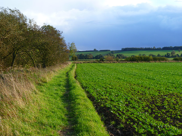
Crow Wood is a picturesque woodland area located in the county of Yorkshire, England. Situated in the heart of the countryside, this enchanting forest covers an expansive area of approximately 200 acres. The wood is named after the abundance of crows that inhabit the area, adding to its mystical charm.

This ancient woodland is home to a diverse range of flora and fauna, providing a haven for wildlife enthusiasts and nature lovers alike. The towering trees, predominantly oak and beech, create a dense canopy that allows only dappled sunlight to filter through, creating a serene and tranquil atmosphere. The forest floor is carpeted with a rich tapestry of bluebells, wild garlic, and ferns, adding to the natural beauty of the woodland.

Crow Wood offers a myriad of recreational activities for visitors to enjoy. There are numerous walking trails and paths that meander through the forest, allowing visitors to explore the woodland at their own pace. These trails cater to all levels of fitness, from gentle strolls to more challenging hikes. The wood also boasts several picnic areas and benches, providing the perfect spot for visitors to relax and soak in the peaceful surroundings.

Aside from its natural beauty, Crow Wood holds historical significance. The wood is believed to have been in existence for centuries, with evidence of human activity dating back to the Iron Age. The area has also been associated with folklore and legends, further adding to its allure.

In conclusion, Crow Wood in Yorkshire is a captivating woodland area that offers a harmonious blend of natural beauty, recreational opportunities, and historical significance. It is an idyllic destination for those seeking solace in nature and a deeper connection to the enchanting landscapes of Yorkshire.

If you have any feedback on the listing, please let us know in the comments section below.
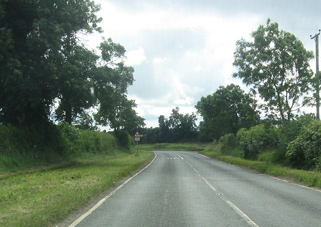
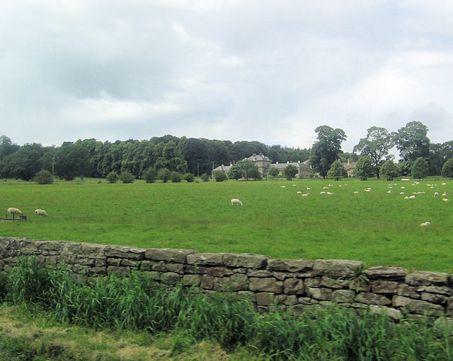
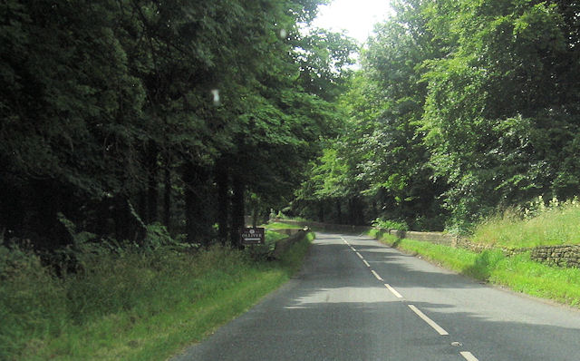
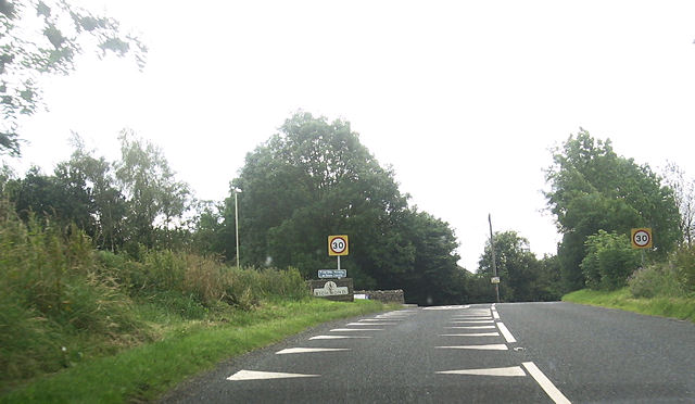
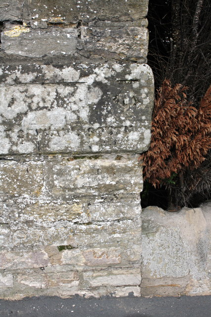
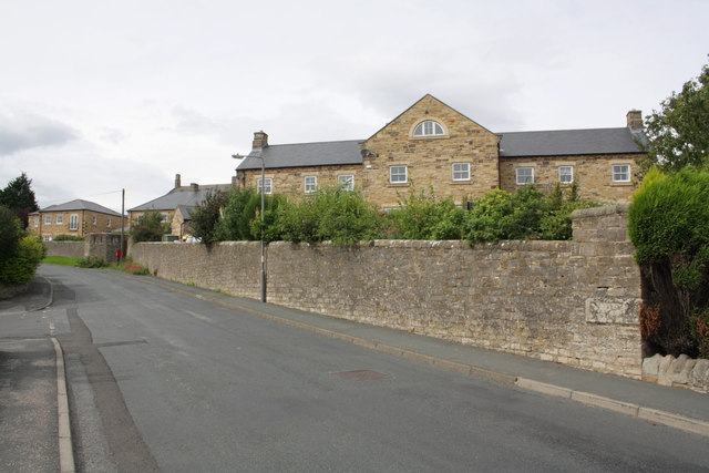
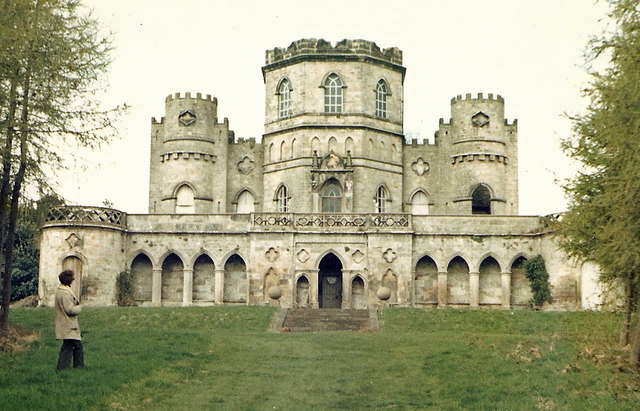
Crow Wood Images

Images are sourced within 2km of 54.426111/-1.7314714 or Grid Reference NZ1703. Thanks to Geograph Open Source API. All images are credited.

Pasture and woodland, Gilling The public bridleway follows the edge of The Ashes to the west of Gillingwood Hall.
Pasture and woodland, Gilling
The public bridleway follows the edge of The Ashes to the west of Gillingwood Hall.
Farm road and farmland, Gilling The public bridleway heading away from Gillingwood Hall.
Farm road and farmland, Gilling
The public bridleway heading away from Gillingwood Hall.
Farmland, Gilling The footpath heading towards Skeeby beside a crop of oil-seed rape.
Farmland, Gilling
The footpath heading towards Skeeby beside a crop of oil-seed rape.
Gilling West From south of The White Swan
Gilling West
From south of The White Swan
B6274 at double bends South of Gilling West
B6274 at double bends
South of Gilling West
Grazing land by B6274 Aske Hall in the background
Grazing land by B6274
Aske Hall in the background
B6274 approaching Aske Bridge Gates to Aske Hall and to Olliver cottages here
B6274 approaching Aske Bridge
Gates to Aske Hall and to Olliver cottages here
B6274 approaching Richmond
Benchmark on ruined barn on Green Howards Road Ordnance Survey cut mark benchmark described on the Bench Mark Database at <span class="nowrap"><a title="http://www.bench-marks.org.uk/bm44981" rel="nofollow ugc noopener" href="http://www.bench-marks.org.uk/bm44981">Link</a><img style="margin-left:2px;" alt="External link" title="External link - shift click to open in new window" src="https://s1.geograph.org.uk/img/external.png" width="10" height="10"/></span>
Benchmark on ruined barn on Green Howards Road
Ordnance Survey cut mark benchmark described on the Bench Mark Database at LinkExternal link
Remains of a barn on Green Howards Road Only a ruined wall remains of the barn but there is still an OS benchmark <a href="https://www.geograph.org.uk/photo/3151829">NZ1701 : Benchmark on ruined barn on Green Howards Road</a> at junction on the building with the wall to its left.
Remains of a barn on Green Howards Road
Only a ruined wall remains of the barn but there is still an OS benchmark NZ1701 : Benchmark on ruined barn on Green Howards Road at junction on the building with the wall to its left.
Benchmark on wall pier at entrance to Richmond Racecourse Ordnance Survey cut mark benchmark described on the Bench Mark Database at <span class="nowrap"><a title="http://www.bench-marks.org.uk/bm44924" rel="nofollow ugc noopener" href="http://www.bench-marks.org.uk/bm44924">Link</a><img style="margin-left:2px;" alt="External link" title="External link - shift click to open in new window" src="https://s1.geograph.org.uk/img/external.png" width="10" height="10"/></span>
Benchmark on wall pier at entrance to Richmond Racecourse
Ordnance Survey cut mark benchmark described on the Bench Mark Database at LinkExternal link
Whashton Road entrance to Richmond Racecourse The former racecourse now provides walking and dog exercising opportunities. There is an OS benchmark <a href="https://www.geograph.org.uk/photo/3152032">NZ1702 : Benchmark on wall pier at entrance to Richmond Racecourse</a> on the wall pier behind the dog waste bin.
Whashton Road entrance to Richmond Racecourse
The former racecourse now provides walking and dog exercising opportunities. There is an OS benchmark NZ1702 : Benchmark on wall pier at entrance to Richmond Racecourse on the wall pier behind the dog waste bin.
Benchmark on wall of Green Howards Road Ordnance Survey cut mark benchmark described on the Bench Mark Database at <span class="nowrap"><a title="http://www.bench-marks.org.uk/bm44982" rel="nofollow ugc noopener" href="http://www.bench-marks.org.uk/bm44982">Link</a><img style="margin-left:2px;" alt="External link" title="External link - shift click to open in new window" src="https://s1.geograph.org.uk/img/external.png" width="10" height="10"/></span>
Benchmark on wall of Green Howards Road
Ordnance Survey cut mark benchmark described on the Bench Mark Database at LinkExternal link
Wall (former barns) on Green Howards Road There is an Ordnance Survey benchmark <a href="https://www.geograph.org.uk/photo/3208923">NZ1601 : Benchmark on wall of Green Howards Road</a> at the wall junction about 3m right of the wooden door.
Wall (former barns) on Green Howards Road
There is an Ordnance Survey benchmark NZ1601 : Benchmark on wall of Green Howards Road at the wall junction about 3m right of the wooden door.
Benchmark on former barracks, Beechfield Road Ordnance Survey cut mark benchmark described on the Bench Mark Database at <span class="nowrap"><a title="http://www.bench-marks.org.uk/bm44983" rel="nofollow ugc noopener" href="http://www.bench-marks.org.uk/bm44983">Link</a><img style="margin-left:2px;" alt="External link" title="External link - shift click to open in new window" src="https://s1.geograph.org.uk/img/external.png" width="10" height="10"/></span>
Benchmark on former barracks, Beechfield Road
Ordnance Survey cut mark benchmark described on the Bench Mark Database at LinkExternal link
Former barracks at junction of Beechfield Road and Galloway There is an OS benchmark <a href="https://www.geograph.org.uk/photo/3209029">NZ1701 : Benchmark on former barracks, Beechfield Road</a> on the corner of the building
Former barracks at junction of Beechfield Road and Galloway
There is an OS benchmark NZ1701 : Benchmark on former barracks, Beechfield Road on the corner of the building
Benchmark on wall angle next to #21 Beechfield Road The Ordnance Survey cut mark benchmark is on an inscribed stone (the last word is 'SOUTH') and is described on the Bench Mark Database at <span class="nowrap"><a title="http://www.bench-marks.org.uk/bm44984" rel="nofollow ugc noopener" href="http://www.bench-marks.org.uk/bm44984">Link</a><img style="margin-left:2px;" alt="External link" title="External link - shift click to open in new window" src="https://s1.geograph.org.uk/img/external.png" width="10" height="10"/></span>
Benchmark on wall angle next to #21 Beechfield Road
The Ordnance Survey cut mark benchmark is on an inscribed stone (the last word is 'SOUTH') and is described on the Bench Mark Database at LinkExternal link
Housing provided by converted barracks, Beechfield Road There is an OS benchmark <a href="https://www.geograph.org.uk/photo/3209091">NZ1701 : Benchmark on wall angle next to #21 Beechfield Road</a> on the inscribed stone inserted in the wall end near the right hand side of the image
Housing provided by converted barracks, Beechfield Road
There is an OS benchmark NZ1701 : Benchmark on wall angle next to #21 Beechfield Road on the inscribed stone inserted in the wall end near the right hand side of the image
Show me another place!

Crow Wood is located at Grid Ref: NZ1703 (Lat: 54.426111, Lng: -1.7314714)

Division: North Riding

Administrative County: North Yorkshire

District: Richmondshire

Police Authority: North Yorkshire

What 3 Words

///lawns.elections.carpets. Near Richmond, North Yorkshire

Related Wikis

Aske, North Yorkshire

Aske is a civil parish in the Richmondshire district of North Yorkshire, England, about two miles north of Richmond. According to the 2001 census it had...

Aske Hall

Aske Hall is a Georgian country house, with parkland attributed to Capability Brown, 1.5 miles (2.4 km) north of Richmond, North Yorkshire, England. It...

Richmond Barracks, North Yorkshire

Richmond Barracks was a military installation in Richmond, North Yorkshire. == History == The barracks were built as the depot of the two battalions of...

Richmond Racecourse

Richmond Racecourse was a British horse racing track situated at Richmond, North Yorkshire at first High Moor, then Low Moor, from 1765 to 1776. It was...

Gilling West

Gilling West is a village about 3.5 miles (5.6 km) north of Richmond in the Richmondshire district of North Yorkshire, England. It is located in the civil...

St Francis Xavier School, North Yorkshire

St. Francis Xavier School is a coeducational secondary school situated on Darlington Road, Richmond, North Yorkshire, England. It is a joint Roman Catholic...

Richmond School

Richmond School & Sixth Form College, often referred to simply as Richmond School, is a coeducational secondary school located in North Yorkshire, England...

Victoria Hospital, Richmond

The Victoria Hospital was a health facility in Queen's Road, Richmond, North Yorkshire, England. It is now used as a funeral director's offices and remains...

Nearby Amenities

Located within 500m of 54.426111,-1.7314714
Barrier: yes
Lat/Long: 54.4266328/-1.7257652
Aske Estate
Place: locality
Lat/Long: 54.4265103/-1.7288562
Aske Park
Place: locality
Lat/Long: 54.4229043/-1.7323596
High Park
Place: locality
Lat/Long: 54.4245987/-1.7380865
The data included in this document is from www.openstreetmap.org. The data is made available under ODbL.

Have you been to Crow Wood?

Leave your review of Crow Wood below (or comments, questions and feedback).