China Plantation
Wood, Forest in Yorkshire Richmondshire
England
China Plantation

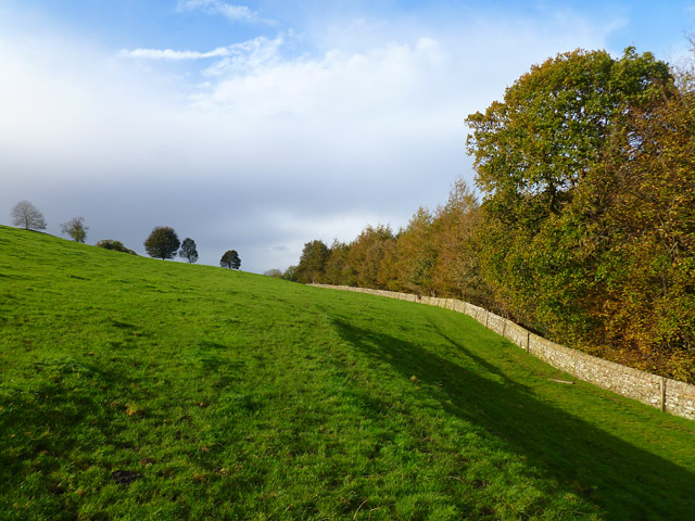
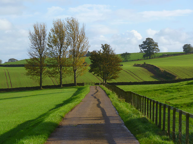
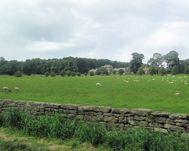
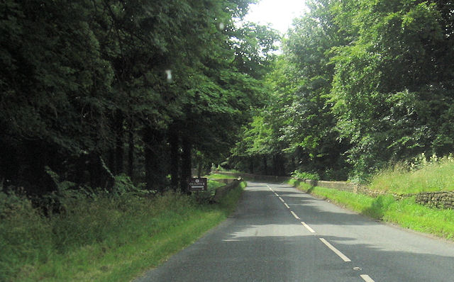
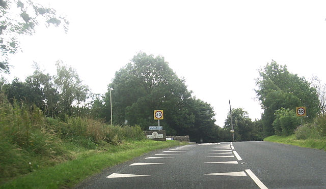
China Plantation is a woodland area located in Yorkshire, England. Covering an extensive area, it is known for its lush greenery, diverse flora and fauna, and tranquil atmosphere. The plantation is situated in a picturesque setting, surrounded by rolling hills and stunning landscapes.
The woodland primarily consists of various types of trees including oak, beech, and birch, which create a dense canopy overhead, providing shade and shelter for a wide range of wildlife. The forest floor is covered with a thick layer of moss and ferns, adding to the enchanting ambiance of the area.
China Plantation is home to a rich and diverse ecosystem. Visitors can spot an array of bird species, including woodpeckers, owls, and songbirds, making it a popular destination for birdwatching enthusiasts. Squirrels, rabbits, and other small mammals can also be seen scurrying through the undergrowth.
The plantation is open to the public and offers various recreational activities. There are well-maintained trails and paths for hikers and nature lovers to explore and enjoy the natural beauty of the area. The peaceful surroundings make it an ideal spot for picnics or simply taking a leisurely stroll.
China Plantation holds significant historical importance as well. It has been part of the local landscape for centuries and has witnessed various changes and developments over time. The woodland has been managed and preserved to maintain its ecological value and ensure its sustainability for generations to come.
If you have any feedback on the listing, please let us know in the comments section below.
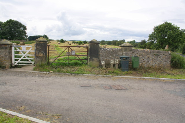
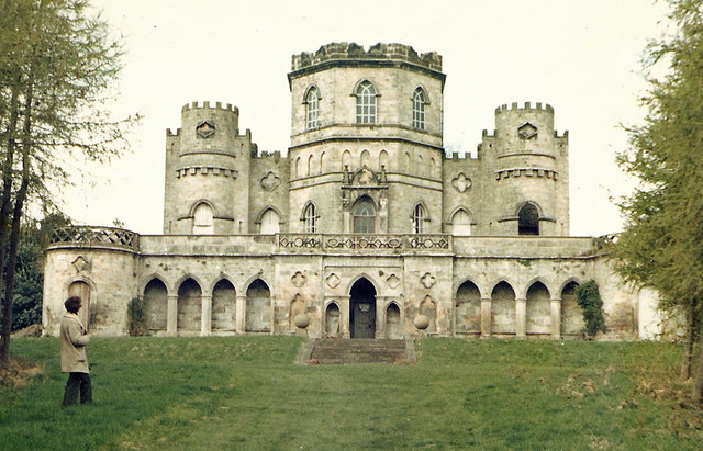
China Plantation Images
Images are sourced within 2km of 54.423879/-1.7343989 or Grid Reference NZ1703. Thanks to Geograph Open Source API. All images are credited.


China Plantation is located at Grid Ref: NZ1703 (Lat: 54.423879, Lng: -1.7343989)
Division: North Riding
Administrative County: North Yorkshire
District: Richmondshire
Police Authority: North Yorkshire
What 3 Words
///ample.incorrect.infinite. Near Richmond, North Yorkshire
Nearby Locations
Related Wikis
Aske, North Yorkshire
Aske is a civil parish in the Richmondshire district of North Yorkshire, England, about two miles north of Richmond. According to the 2001 census it had...

Aske Hall
Aske Hall is a Georgian country house, with parkland attributed to Capability Brown, 1.5 miles (2.4 km) north of Richmond, North Yorkshire, England. It...

Richmond Racecourse
Richmond Racecourse was a British horse racing track situated at Richmond, North Yorkshire at first High Moor, then Low Moor, from 1765 to 1776. It was...

Richmond Barracks, North Yorkshire
Richmond Barracks was a military installation in Richmond, North Yorkshire. == History == The barracks were built as the depot of the two battalions of...

St Francis Xavier School, North Yorkshire
St. Francis Xavier School is a coeducational secondary school situated on Darlington Road, Richmond, North Yorkshire, England. It is a joint Roman Catholic...

Victoria Hospital, Richmond
The Victoria Hospital was a health facility in Queen's Road, Richmond, North Yorkshire, England. It is now used as a funeral director's offices and remains...

Richmond School
Richmond School & Sixth Form College, often referred to simply as Richmond School, is a coeducational secondary school located in North Yorkshire, England...
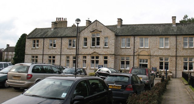
Friary Community Hospital
The Friary Community Hospital is a health facility in Queen's Road, Richmond, North Yorkshire, England. It is managed by South Tees Hospitals NHS Foundation...
Nearby Amenities
Located within 500m of 54.423879,-1.7343989Have you been to China Plantation?
Leave your review of China Plantation below (or comments, questions and feedback).