Newton
Settlement in Yorkshire Ryedale
England
Newton
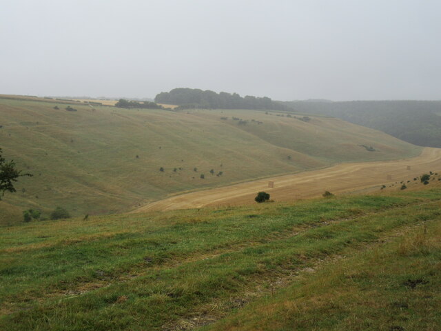
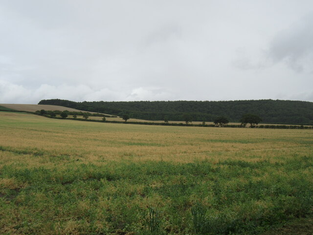
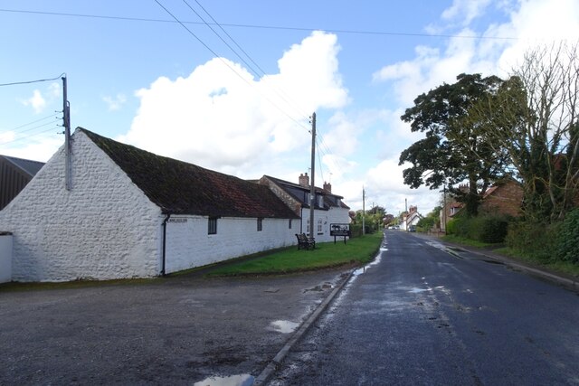
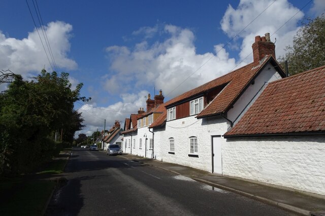
Newton is a small village located in the Ryedale district of North Yorkshire, England. Situated approximately 19 miles east of York and 4 miles south-west of Malton, it falls within the civil parish of Sheriff Hutton. The village sits on the edge of the Howardian Hills, an Area of Outstanding Natural Beauty, offering residents and visitors stunning views of the surrounding countryside.
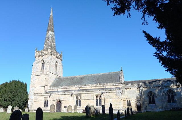
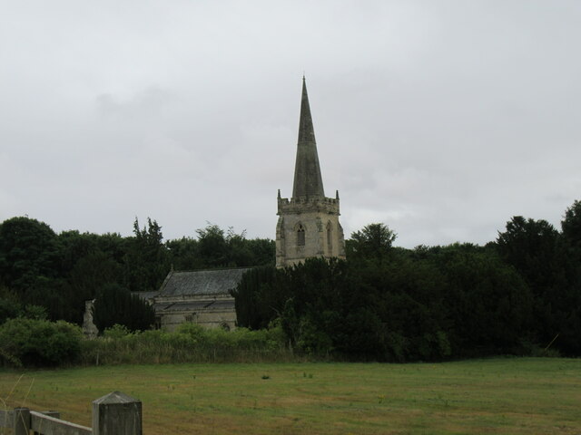
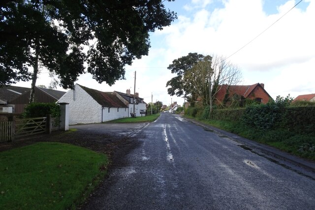
Despite its modest size, Newton has a rich history that dates back to the Domesday Book of 1086, where it is mentioned as "Newetone." The village is known for its charming and well-preserved buildings, many of which showcase traditional Yorkshire stone architecture. The local St. Gregory's Church, built in the 12th century, stands as a testament to the area's heritage.
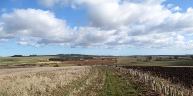
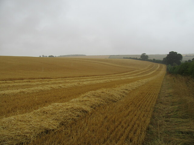
Agriculture has long been a significant part of Newton's economy, with the village being surrounded by fertile farmland. The peaceful and picturesque surroundings make it an ideal place for those seeking a quiet and idyllic rural lifestyle.
While Newton may lack some of the amenities found in larger towns, it benefits from its proximity to nearby Malton, a vibrant market town that offers a wider range of services, including shops, schools, and healthcare facilities. Additionally, the city of York is easily accessible by car or public transport, providing residents with access to further amenities and opportunities.
For nature enthusiasts and outdoor lovers, Newton's location near the Howardian Hills and the North York Moors National Park is a definite advantage. The area is a haven for hikers, cyclists, and wildlife enthusiasts, with numerous walking trails and nature reserves to explore.
In summary, Newton, Yorkshire, is a peaceful and historic village nestled in the beautiful countryside of North Yorkshire. With its rich heritage, stunning natural surroundings, and proximity to larger towns and cities, it offers a charming and desirable place to call home.
If you have any feedback on the listing, please let us know in the comments section below.
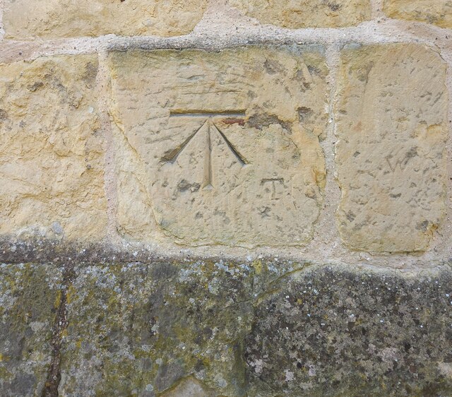
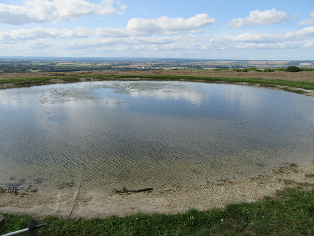
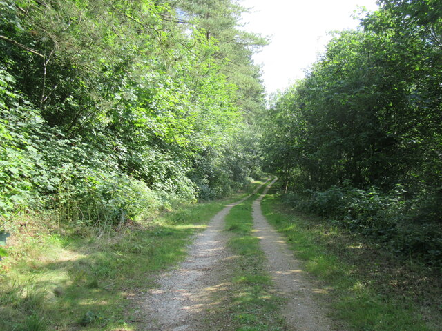
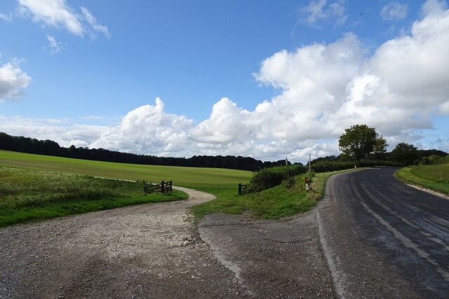
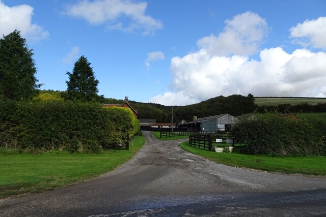
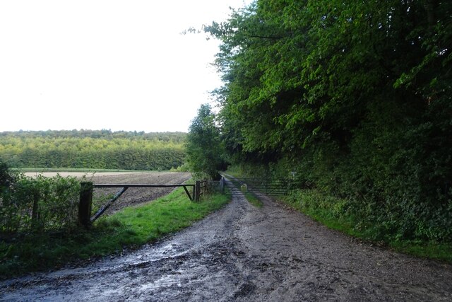
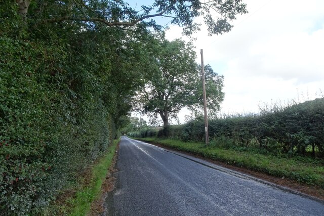
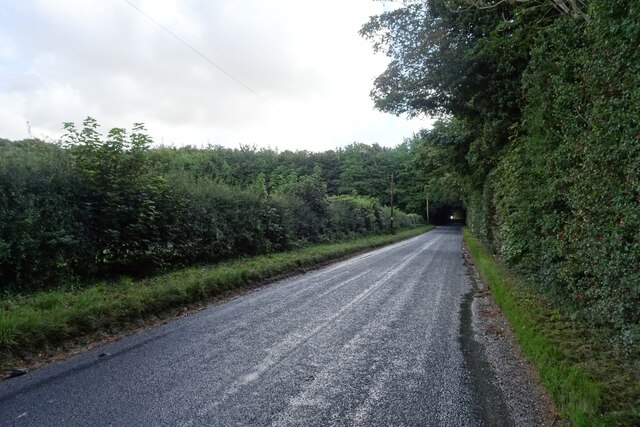
Newton Images
Images are sourced within 2km of 54.140651/-0.6419186 or Grid Reference SE8872. Thanks to Geograph Open Source API. All images are credited.
Newton is located at Grid Ref: SE8872 (Lat: 54.140651, Lng: -0.6419186)
Division: East Riding
Administrative County: North Yorkshire
District: Ryedale
Police Authority: North Yorkshire
What 3 Words
///amphibian.candle.nutty. Near Rillington, North Yorkshire
Nearby Locations
Related Wikis

St Peter's Church, Wintringham
St Peter's Church is a redundant Anglican church in the village of Wintringham, North Yorkshire, England (grid reference SE 887 731). It is recorded in...

Wintringham, North Yorkshire
Wintringham is a village and civil parish in North Yorkshire, England. The village is near the A64 road and 6 miles (9.7 km) east of Malton. Two long...

Norton Rural District (Yorkshire)
Norton was a rural district in the East Riding of Yorkshire from 1894 to 1974. It was based on the small town of Norton-on-Derwent, and was formed under...

Thorpe Bassett
Thorpe Bassett is a village and civil parish in North Yorkshire, England. It is located between York and Scarborough in the North East of England. Surrounded...
Nearby Amenities
Located within 500m of 54.140651,-0.6419186Have you been to Newton?
Leave your review of Newton below (or comments, questions and feedback).