Fish Pond Plantation
Wood, Forest in Yorkshire Ryedale
England
Fish Pond Plantation
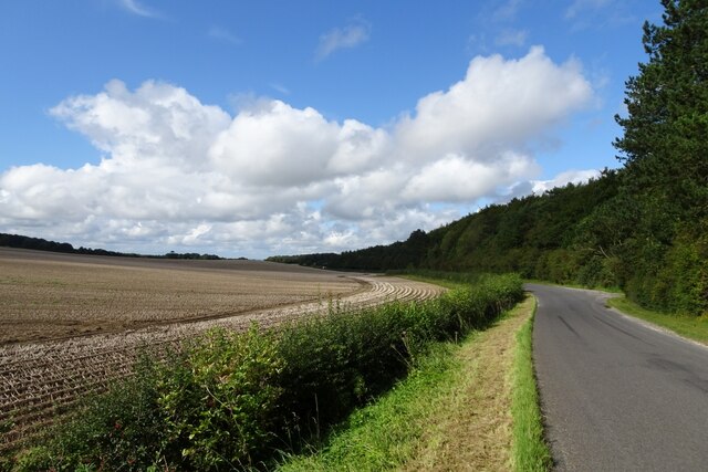
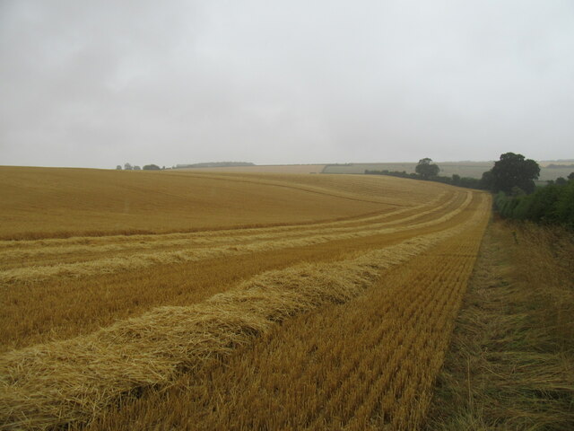
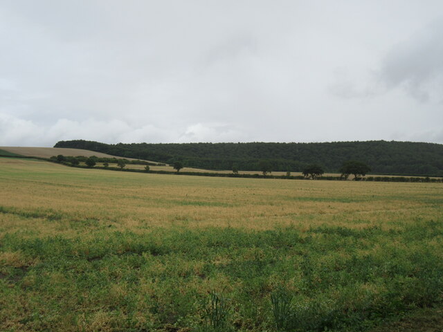
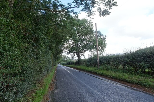
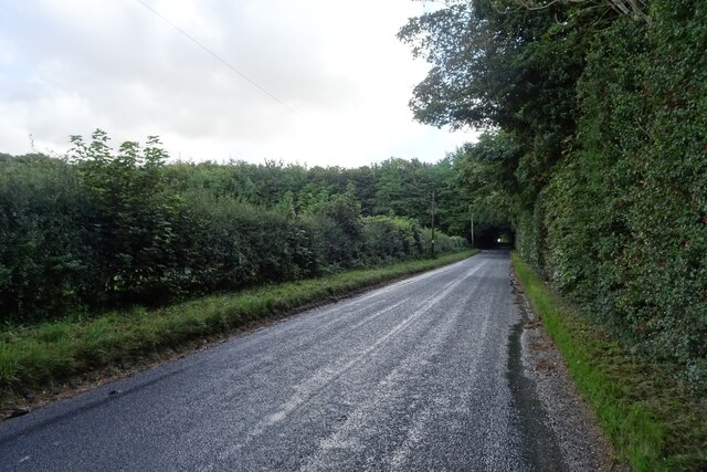
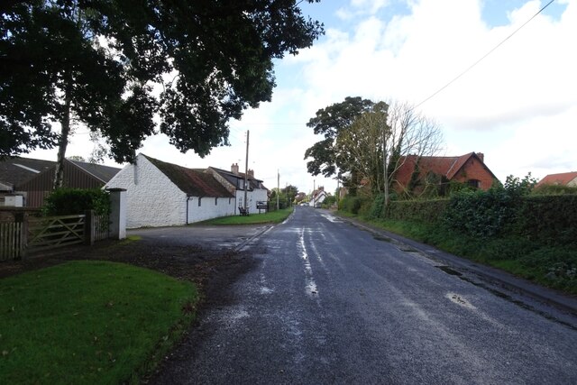
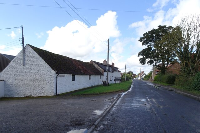
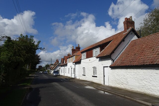
Fish Pond Plantation is a picturesque woodland located in Yorkshire, England. Covering an expansive area, it is known for its stunning natural beauty and diverse plant and animal life. The plantation is situated in close proximity to the village of Wood, making it easily accessible for visitors.
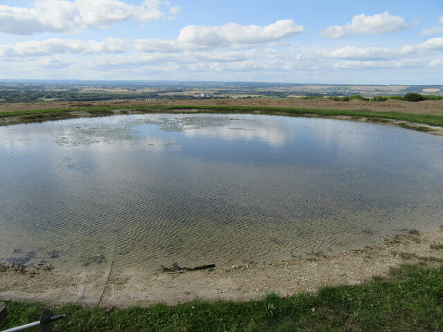
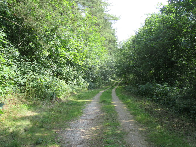
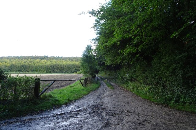
The main feature of Fish Pond Plantation is its namesake, the fish pond, which has been a focal point of the area for centuries. The pond is surrounded by lush vegetation, including a variety of trees such as oak, beech, and birch. These trees create a tranquil and serene atmosphere, perfect for nature enthusiasts and those seeking a peaceful retreat.
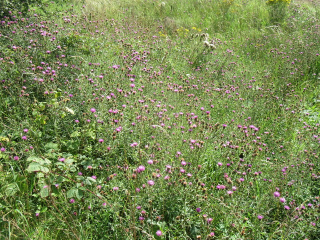
The woodland is home to a wide range of wildlife, making it a popular spot for birdwatchers and animal lovers. Visitors may spot various species of birds, including woodpeckers, owls, and finches. Additionally, the plantation is inhabited by small mammals such as foxes, rabbits, and hedgehogs. It is not uncommon to come across deer wandering through the forest, adding to the enchanting experience of being in the midst of nature.
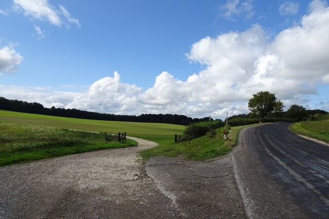
Fish Pond Plantation offers several walking trails that allow visitors to explore the area at their own pace. These trails wind through the woodland, providing breathtaking views and opportunities to observe the flora and fauna up close. Picnic areas are also available for visitors who wish to take a break and enjoy a meal amidst the natural surroundings.
Overall, Fish Pond Plantation is a remarkable destination for nature lovers, offering a serene and idyllic setting to experience the beauty of Yorkshire's woodlands.
If you have any feedback on the listing, please let us know in the comments section below.
Fish Pond Plantation Images
Images are sourced within 2km of 54.144782/-0.64473822 or Grid Reference SE8872. Thanks to Geograph Open Source API. All images are credited.

Fish Pond Plantation is located at Grid Ref: SE8872 (Lat: 54.144782, Lng: -0.64473822)
Division: East Riding
Administrative County: North Yorkshire
District: Ryedale
Police Authority: North Yorkshire
What 3 Words
///consoles.heads.hence. Near Rillington, North Yorkshire
Nearby Locations
Related Wikis

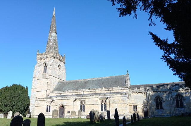
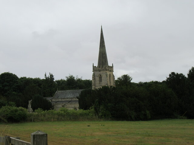
St Peter's Church, Wintringham
St Peter's Church is a redundant Anglican church in the village of Wintringham, North Yorkshire, England (grid reference SE 887 731). It is recorded in...

Wintringham, North Yorkshire
Wintringham is a village and civil parish in North Yorkshire, England. The village is near the A64 road and 6 miles (9.7 km) east of Malton. Two long...

Norton Rural District (Yorkshire)
Norton was a rural district in the East Riding of Yorkshire from 1894 to 1974. It was based on the small town of Norton-on-Derwent, and was formed under...

West Knapton
West Knapton is a small village in the civil parish of Scampston, in North Yorkshire, England. It is situated on the edge of the Yorkshire Wolds at the...

Thorpe Bassett
Thorpe Bassett is a village and civil parish in North Yorkshire, England. It is located between York and Scarborough in the North East of England. Surrounded...
All Saints Church, Thorpe Bassett
All Saints Church is in the village of Thorpe Bassett, North Yorkshire, England. It is an active Anglican parish church in the deanery of Southern Ryedale...

East Knapton
East Knapton is a village in the civil parish of Scampston, in North Yorkshire, England. Until 1974 the village lay in the historic county boundaries of...
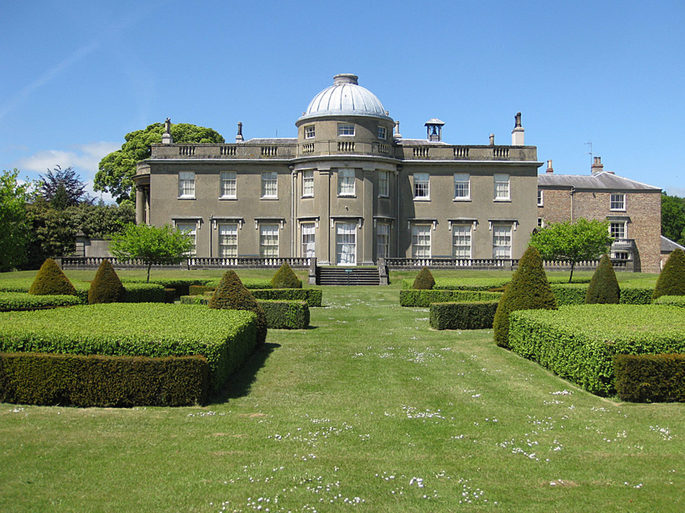
Scampston Hall
Scampston Hall is a Grade II* listed country house in North Yorkshire, England, with a serpentine park designed by Charles Bridgeman and Capability Brown...
Nearby Amenities
Located within 500m of 54.144782,-0.64473822Have you been to Fish Pond Plantation?
Leave your review of Fish Pond Plantation below (or comments, questions and feedback).