Mill Pond Plantation
Wood, Forest in Yorkshire Ryedale
England
Mill Pond Plantation
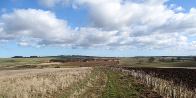
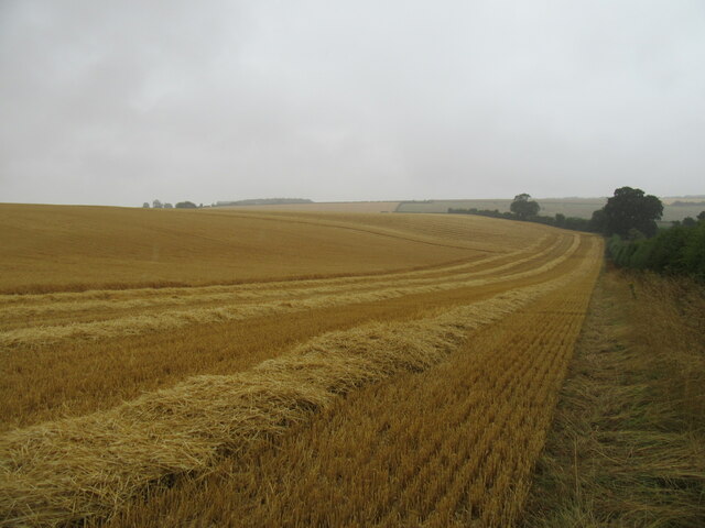
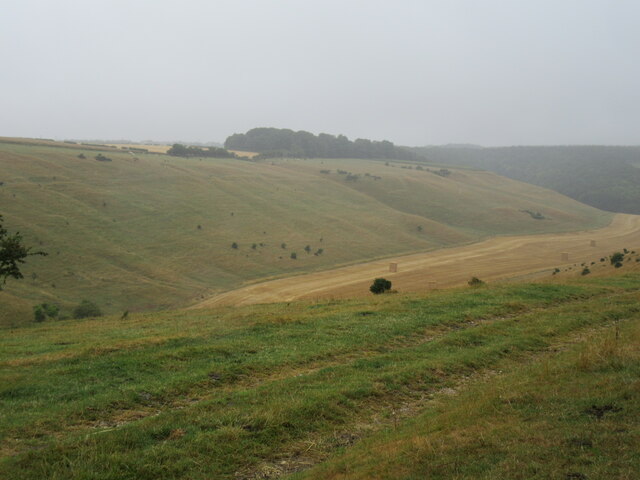
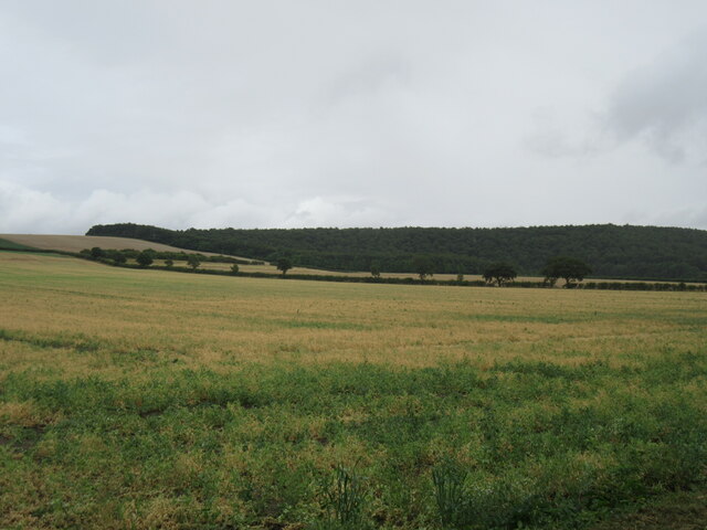
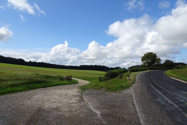
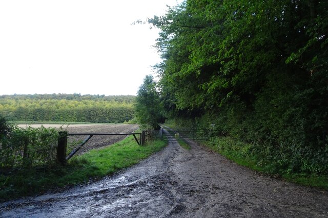
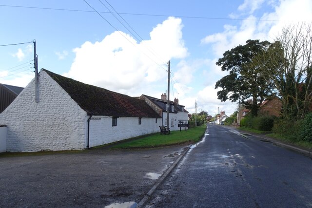
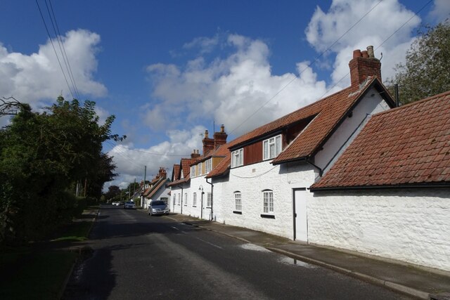
Mill Pond Plantation is a picturesque woodland located in Yorkshire, England. Situated in the heart of a lush forest, this plantation offers a tranquil and idyllic retreat for nature lovers and outdoor enthusiasts. The plantation spans over a vast area, with dense trees and foliage creating a serene ambiance.
The centerpiece of Mill Pond Plantation is undoubtedly its namesake mill pond. This picturesque pond is fed by a gentle stream and surrounded by beautiful flora, making it a haven for various species of birds and wildlife. Visitors can enjoy leisurely walks around the pond, taking in the scenic views or even try their hand at fishing.
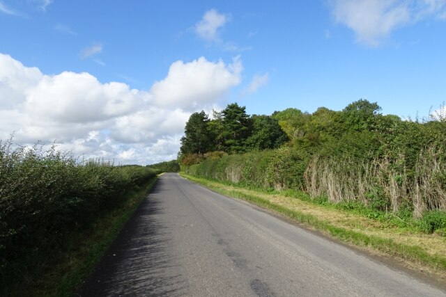
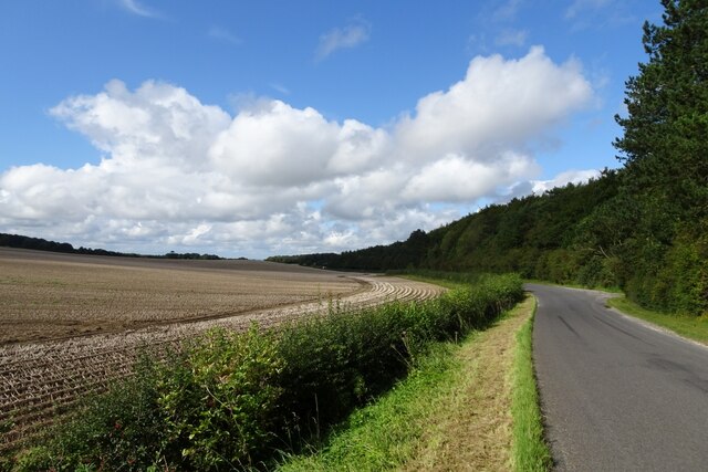
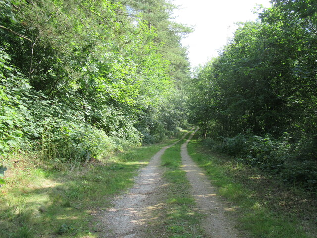
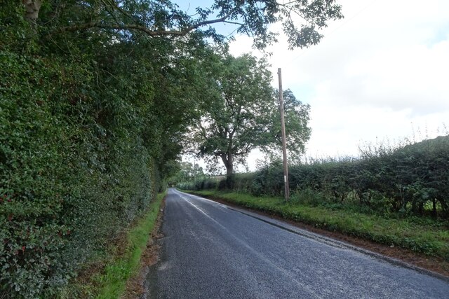
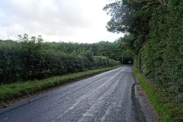
The woodland area of Mill Pond Plantation is a haven for hikers and nature enthusiasts. The well-maintained trails wind through the forest, allowing visitors to immerse themselves in the natural beauty of the surroundings. The plantation is home to a diverse range of flora and fauna, including ancient oak trees, wildflowers, and an array of bird species.
In addition to its natural wonders, Mill Pond Plantation also offers a range of recreational activities. There are designated picnic areas where visitors can enjoy a leisurely meal amidst the peaceful setting. The plantation also provides facilities for camping, allowing visitors to spend a night under the stars and truly connect with nature.
Overall, Mill Pond Plantation is a haven of tranquility and natural beauty. Whether it's a leisurely walk around the mill pond, a hike through the forest trails, or a picnic amidst the scenic surroundings, this woodland plantation offers a memorable experience for all who visit.
If you have any feedback on the listing, please let us know in the comments section below.
Mill Pond Plantation Images
Images are sourced within 2km of 54.138053/-0.64344248 or Grid Reference SE8872. Thanks to Geograph Open Source API. All images are credited.
Mill Pond Plantation is located at Grid Ref: SE8872 (Lat: 54.138053, Lng: -0.64344248)
Division: East Riding
Administrative County: North Yorkshire
District: Ryedale
Police Authority: North Yorkshire
What 3 Words
///exposes.engrossed.jigsaw. Near Rillington, North Yorkshire
Nearby Locations
Related Wikis

Wintringham, North Yorkshire
Wintringham is a village and civil parish in North Yorkshire, England. The village is near the A64 road and 6 miles (9.7 km) east of Malton. Two long...

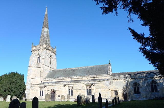
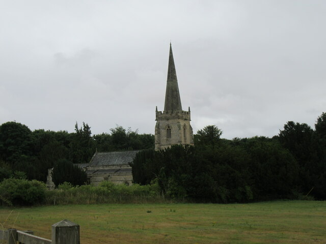
St Peter's Church, Wintringham
St Peter's Church is a redundant Anglican church in the village of Wintringham, North Yorkshire, England (grid reference SE 887 731). It is recorded in...

Norton Rural District (Yorkshire)
Norton was a rural district in the East Riding of Yorkshire from 1894 to 1974. It was based on the small town of Norton-on-Derwent, and was formed under...

Thorpe Bassett
Thorpe Bassett is a village and civil parish in North Yorkshire, England. It is located between York and Scarborough in the North East of England. Surrounded...
All Saints Church, Thorpe Bassett
All Saints Church is in the village of Thorpe Bassett, North Yorkshire, England. It is an active Anglican parish church in the deanery of Southern Ryedale...

West Knapton
West Knapton is a small village in the civil parish of Scampston, in North Yorkshire, England. It is situated on the edge of the Yorkshire Wolds at the...

East Knapton
East Knapton is a village in the civil parish of Scampston, in North Yorkshire, England. Until 1974 the village lay in the historic county boundaries of...
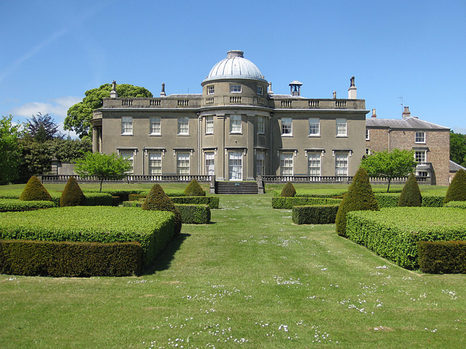
Scampston Hall
Scampston Hall is a Grade II* listed country house in North Yorkshire, England, with a serpentine park designed by Charles Bridgeman and Capability Brown...
Nearby Amenities
Located within 500m of 54.138053,-0.64344248Have you been to Mill Pond Plantation?
Leave your review of Mill Pond Plantation below (or comments, questions and feedback).