The Park
Downs, Moorland in Yorkshire Ryedale
England
The Park
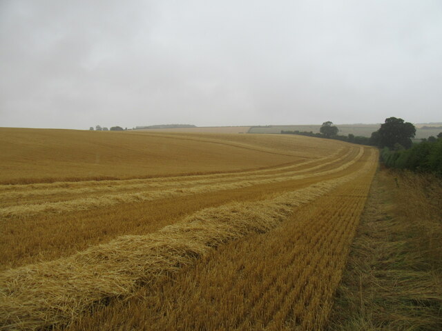
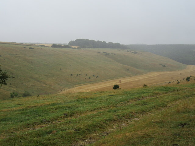
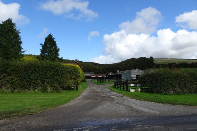
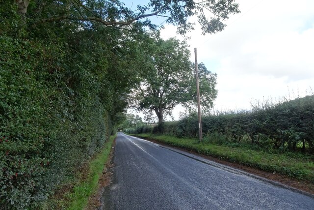
The Park in Yorkshire is a picturesque area that encompasses both the Downs and Moorland. Located in the northern part of England, it spans across a vast landscape of rolling hills and breathtaking scenery. The Park offers visitors a unique and diverse experience, with its combination of open grasslands, heather moors, and wooded valleys.
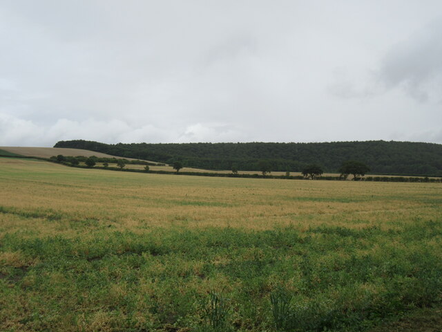
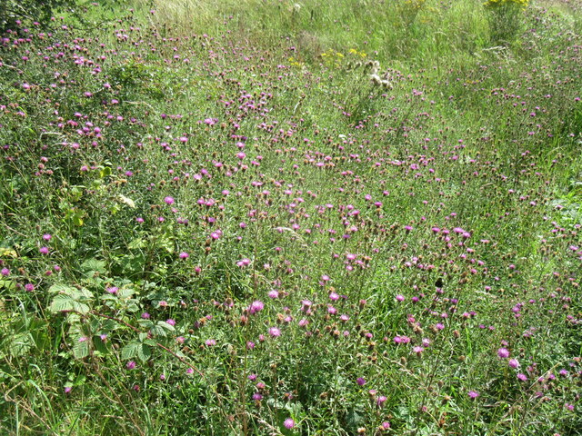
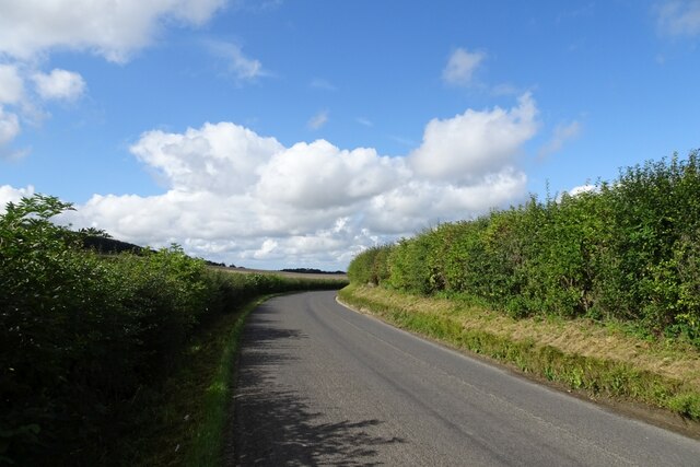
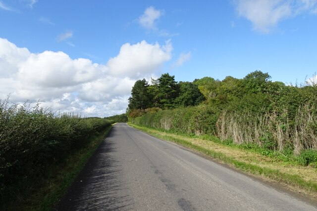
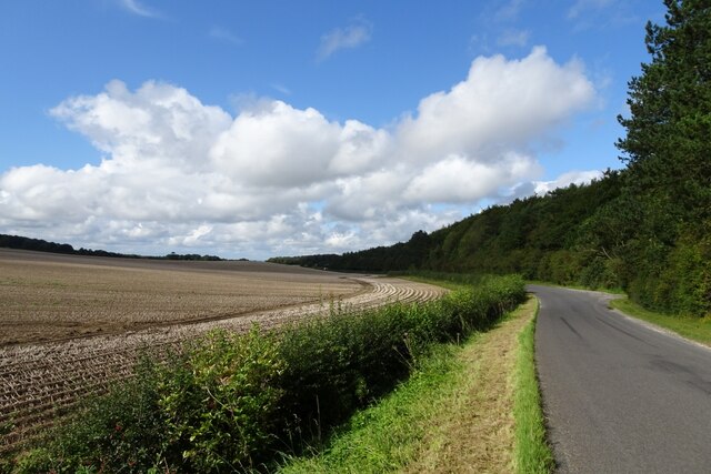
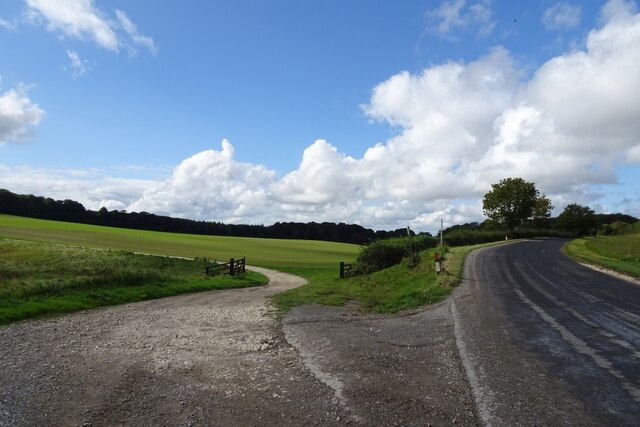
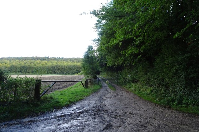
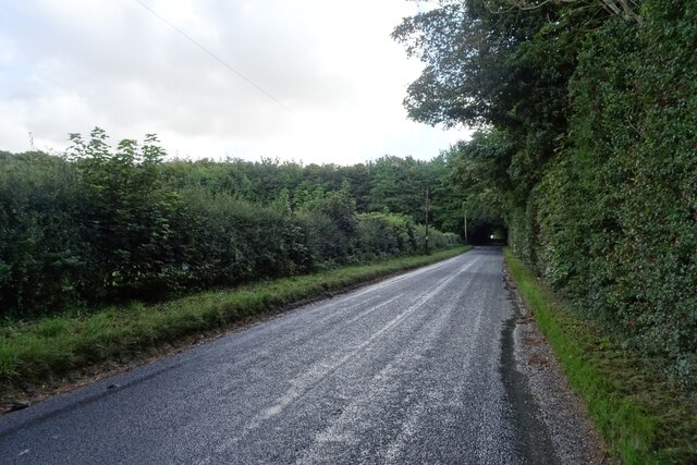
The Downs in The Park are characterized by their gentle slopes and expansive views. Visitors can enjoy leisurely walks or bike rides along the well-maintained trails that traverse the Downs, offering panoramic vistas of the surrounding countryside. The rich biodiversity of the area is evident, with an abundance of flora and fauna to be discovered.
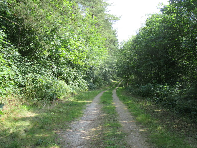
The Moorland in The Park provides a stark contrast to the Downs. Blanketed in vibrant purple heather, the moors are a haven for nature enthusiasts and wildlife lovers. Visitors can explore the vast open spaces, spotting a variety of bird species, including the iconic red grouse. The Moorland also boasts ancient stone circles and historical sites, adding to the area's cultural significance.
The Park is a popular destination for outdoor activities, such as hiking, horse riding, and birdwatching. It offers a sense of tranquility and an opportunity to connect with nature. The local communities surrounding The Park have worked hard to preserve its beauty and promote sustainable tourism, ensuring that future generations can continue to enjoy this natural gem.
Overall, The Park in Yorkshire, with its combination of Downs and Moorland, offers a diverse and captivating landscape for nature lovers and adventure seekers alike.
If you have any feedback on the listing, please let us know in the comments section below.
The Park Images
Images are sourced within 2km of 54.142735/-0.63938568 or Grid Reference SE8872. Thanks to Geograph Open Source API. All images are credited.
The Park is located at Grid Ref: SE8872 (Lat: 54.142735, Lng: -0.63938568)
Division: East Riding
Administrative County: North Yorkshire
District: Ryedale
Police Authority: North Yorkshire
What 3 Words
///rejoined.craftsmen.chapels. Near Rillington, North Yorkshire
Nearby Locations
Related Wikis

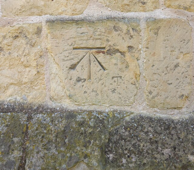
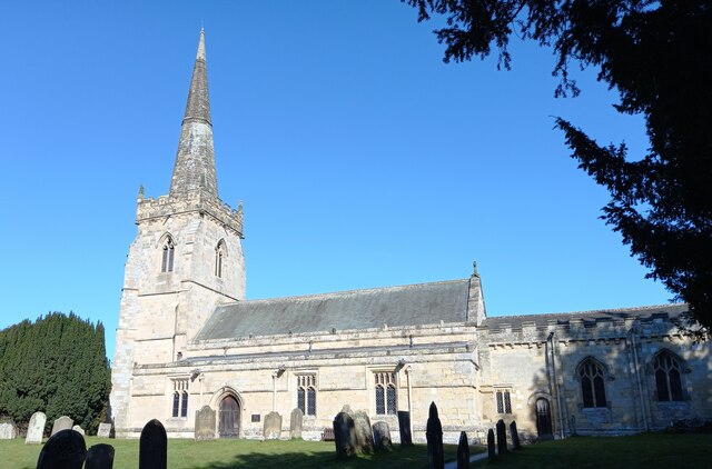
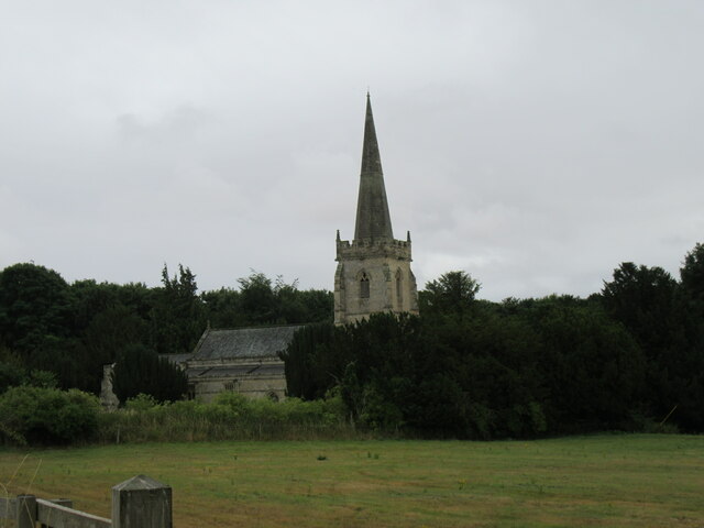
St Peter's Church, Wintringham
St Peter's Church is a redundant Anglican church in the village of Wintringham, North Yorkshire, England (grid reference SE 887 731). It is recorded in...

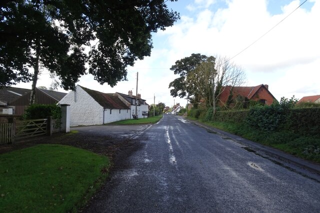
Wintringham, North Yorkshire
Wintringham is a village and civil parish in North Yorkshire, England. The village is near the A64 road and 6 miles (9.7 km) east of Malton. Two long...

Norton Rural District (Yorkshire)
Norton was a rural district in the East Riding of Yorkshire from 1894 to 1974. It was based on the small town of Norton-on-Derwent, and was formed under...

West Knapton
West Knapton is a small village in the civil parish of Scampston, in North Yorkshire, England. It is situated on the edge of the Yorkshire Wolds at the...

Thorpe Bassett
Thorpe Bassett is a village and civil parish in North Yorkshire, England. It is located between York and Scarborough in the North East of England. Surrounded...
All Saints Church, Thorpe Bassett
All Saints Church is in the village of Thorpe Bassett, North Yorkshire, England. It is an active Anglican parish church in the deanery of Southern Ryedale...

East Knapton
East Knapton is a village in the civil parish of Scampston, in North Yorkshire, England. Until 1974 the village lay in the historic county boundaries of...
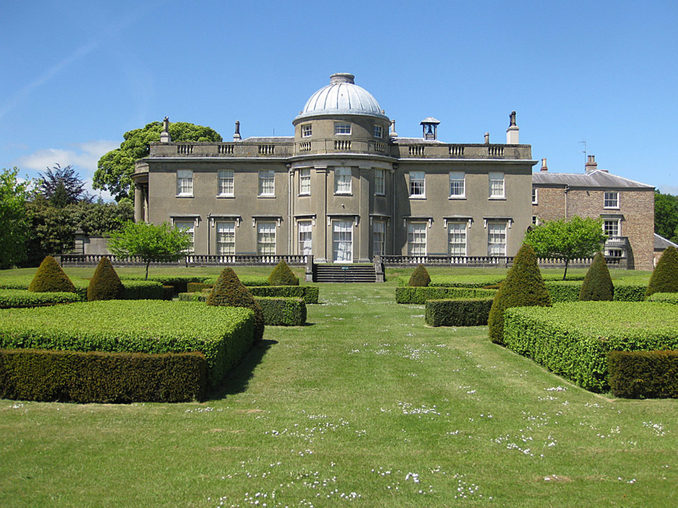
Scampston Hall
Scampston Hall is a Grade II* listed country house in North Yorkshire, England, with a serpentine park designed by Charles Bridgeman and Capability Brown...
Nearby Amenities
Located within 500m of 54.142735,-0.63938568Have you been to The Park?
Leave your review of The Park below (or comments, questions and feedback).