Newton Farm
Settlement in Herefordshire
England
Newton Farm
Newton Farm is a small village located in the county of Herefordshire, England. Situated about 6 miles northeast of the town of Hereford, it is nestled in a picturesque countryside setting. The village is surrounded by rolling hills, lush green fields, and charming rural landscapes.
The primary occupation in Newton Farm is agriculture, with many residents engaged in farming and livestock rearing. The fertile soil of the area makes it ideal for growing crops such as wheat, barley, and potatoes. Livestock farming is also prevalent, with cattle and sheep being the most common animals raised.
Despite its small size, Newton Farm boasts a close-knit community that takes pride in its rural heritage. The village is home to a quaint church, St. Mary's, which dates back to the 12th century and stands as a reminder of the area's historical significance. The church's architecture and stained glass windows are admired by locals and visitors alike.
Newton Farm offers a peaceful and tranquil atmosphere, making it an attractive destination for those seeking a break from the hustle and bustle of city life. The village provides ample opportunities for outdoor activities such as hiking, cycling, and horse riding, thanks to its idyllic surroundings and well-maintained trails.
In conclusion, Newton Farm is a charming village in Herefordshire known for its agricultural heritage, stunning countryside, and welcoming community. It provides a perfect escape for nature lovers and those looking to experience the beauty of rural England.
If you have any feedback on the listing, please let us know in the comments section below.
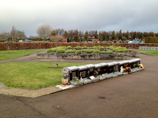
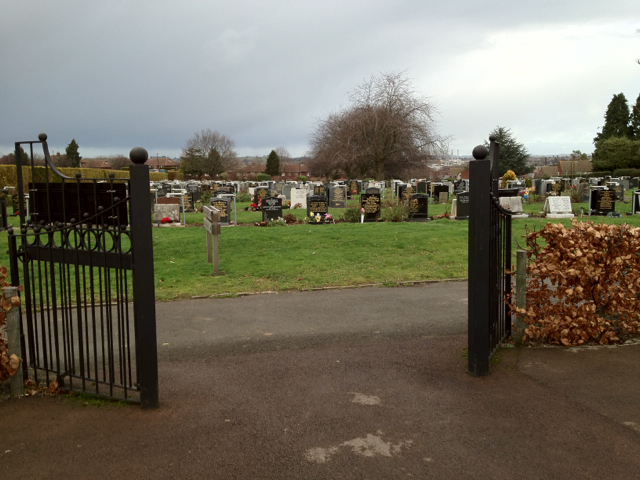
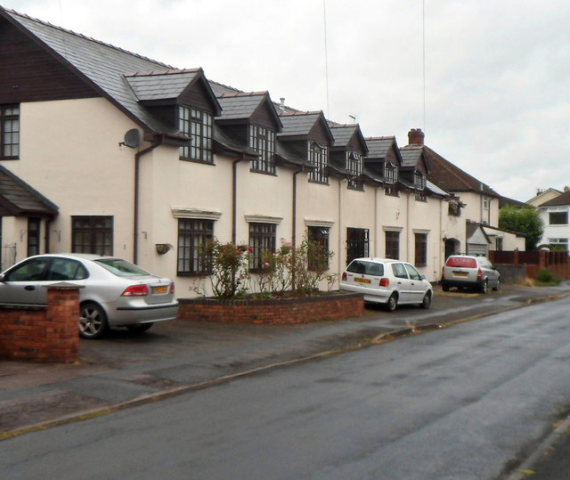
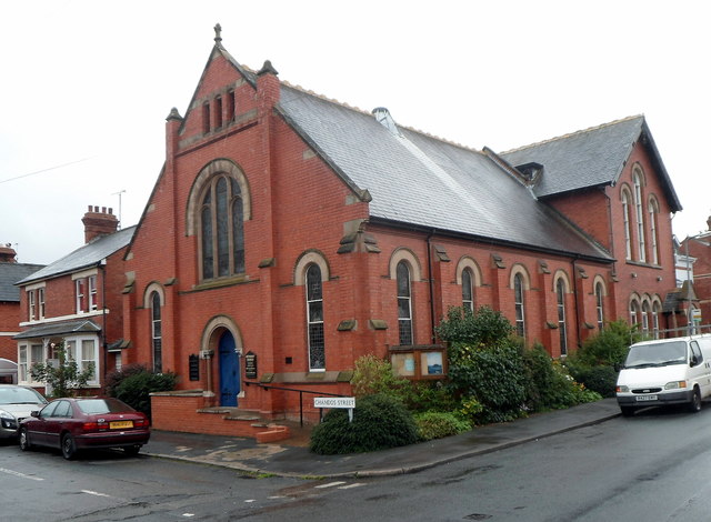
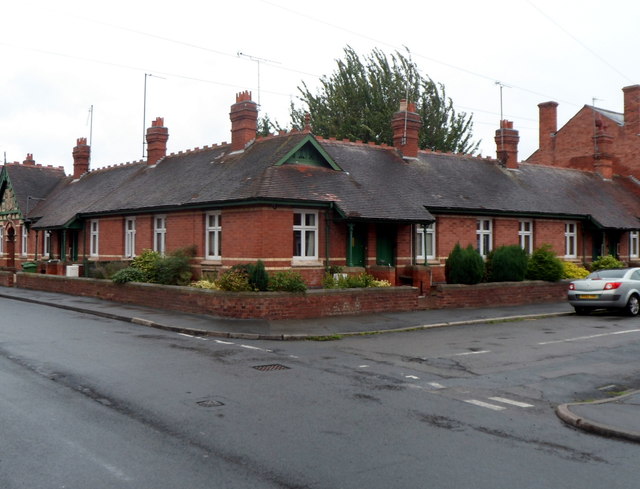
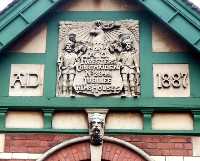
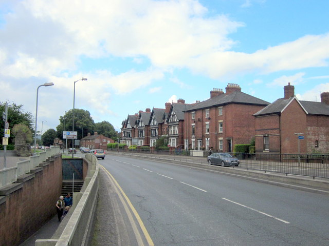
Newton Farm Images
Images are sourced within 2km of 52.040136/-2.7310298 or Grid Reference SO4938. Thanks to Geograph Open Source API. All images are credited.


Newton Farm is located at Grid Ref: SO4938 (Lat: 52.040136, Lng: -2.7310298)
Unitary Authority: County of Herefordshire
Police Authority: West Merica
What 3 Words
///helps.values.luxury. Near Belmont, Herefordshire
Nearby Locations
Related Wikis

The Hereford Academy
The Hereford Academy is a secondary school and sixth form located in Hereford, Herefordshire, England.It was known as Haywood High School in the late seventies...
Grafton, Herefordshire
Grafton is a village and civil parish in Herefordshire, England. The population of this civil parish was 258 at the 2011 census. The parish includes the...
Belmont Rural
Belmont Rural is a civil parish in Herefordshire, England. The population of the Civil Parish taken at the 2011 Census was 3,769. It is south-west of...
Hereford Rowing Club
Hereford Rowing Club is a rowing club on the River Wye, based at 37 Greyfriars Avenue, Hereford, Herefordshire. == History == The club was founded in 1859...
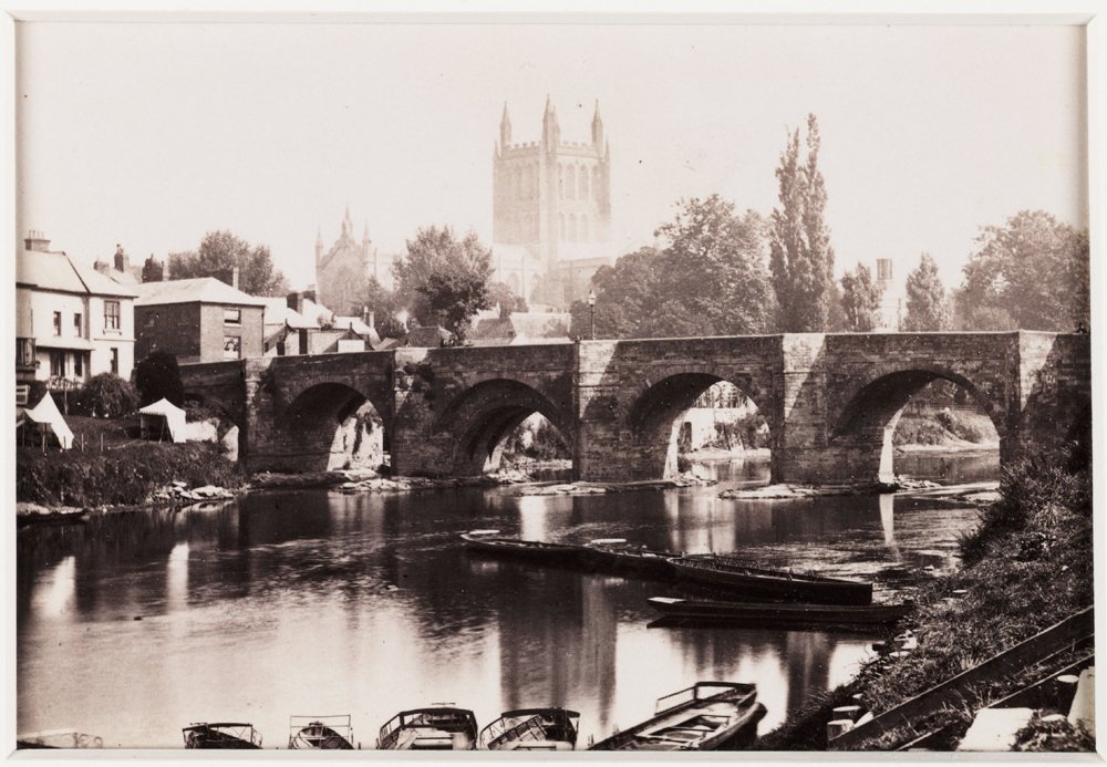
Wye Bridge, Hereford
The Wye Bridge is a Grade I listed stone bridge in Hereford, the county town of Herefordshire in England. Spanning the River Wye, it was constructed in...

Belmont Abbey, Herefordshire
Belmont Abbey, in Herefordshire, England, is a Catholic Benedictine monastery that forms part of the English Benedictine Congregation. It stands on a small...
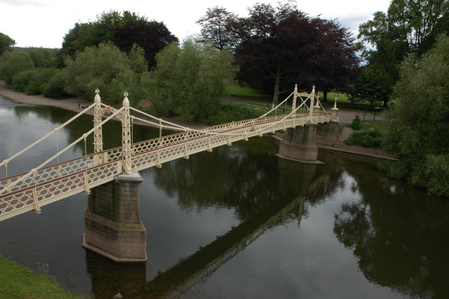
Victoria Bridge, Hereford
Victoria Bridge, Hereford is a foot-bridge in Hereford, opened in 1898 to commemorate the 1897 Diamond Jubilee of Queen Victoria. It is located on Mill...

Cider Museum, Hereford
The Cider Museum is a museum in Hereford, England, about the history of cider. The museum was set up as a Trust in the 1970s by Bertram Bulmer, Norman...
Nearby Amenities
Located within 500m of 52.040136,-2.7310298Have you been to Newton Farm?
Leave your review of Newton Farm below (or comments, questions and feedback).