Newton

Settlement in Yorkshire

England

Newton

RSPB Wood carving way marker. Fairburn Ings
RSPB Wood carving way marker. Fairburn Ings Credit: derek dye

Newton is a small village located in the district of Ryedale, within the county of North Yorkshire, England. Situated approximately 10 miles east of the historic city of York, Newton is a quintessential English village known for its picturesque countryside and tranquil atmosphere.

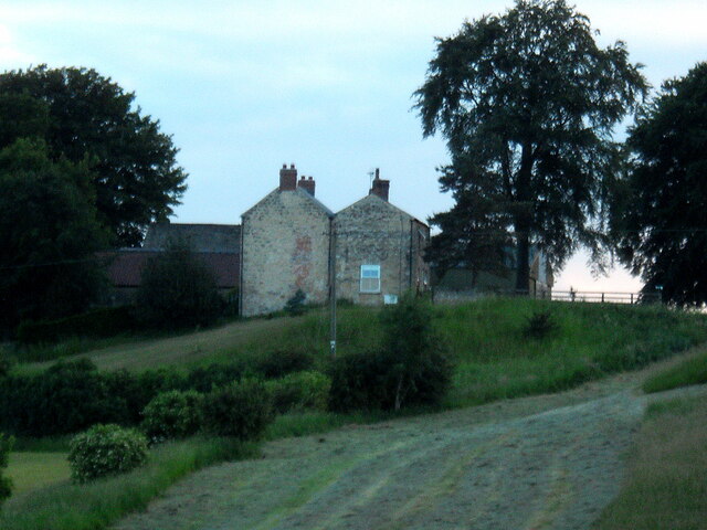
The village is home to a close-knit community, with a population of around 500 residents. Its origins can be traced back to the medieval period, and remnants of its rich history can still be seen today. Newton boasts a charming collection of traditional stone-built cottages, farms, and a beautiful parish church, which dates back to the 12th century.

Surrounded by rolling hills and lush green fields, Newton offers stunning views of the Yorkshire countryside. The area is known for its agricultural activities, with farming playing a significant role in the local economy. Walking and cycling are popular recreational activities in Newton, thanks to its idyllic rural setting and access to scenic trails.

Despite its small size, Newton is well-connected to nearby towns and cities. The A64 road passes close by, providing convenient links to York and other major cities. Public transportation is also available, with regular bus services connecting the village to neighboring areas.

While Newton may lack the hustle and bustle of larger urban centers, it compensates with its charm and tranquility. The village is a haven for those seeking a slower pace of life, surrounded by the beauty of the Yorkshire countryside.

If you have any feedback on the listing, please let us know in the comments section below.
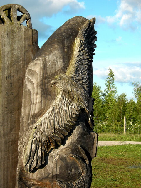
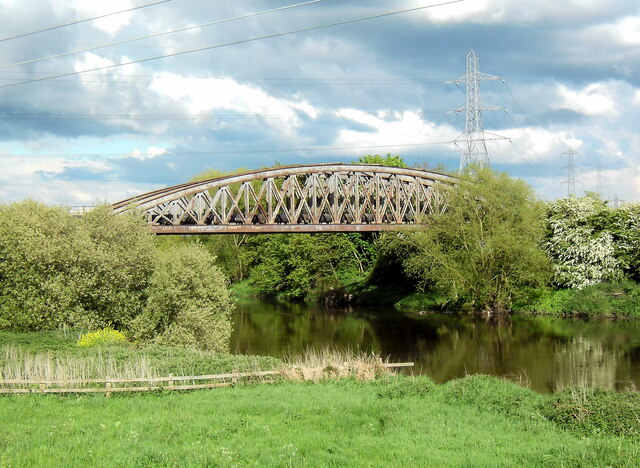
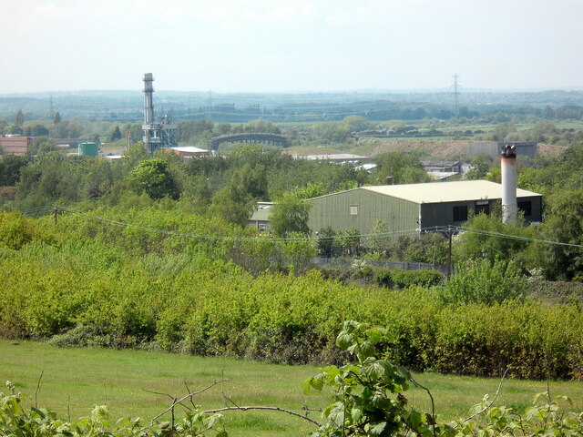
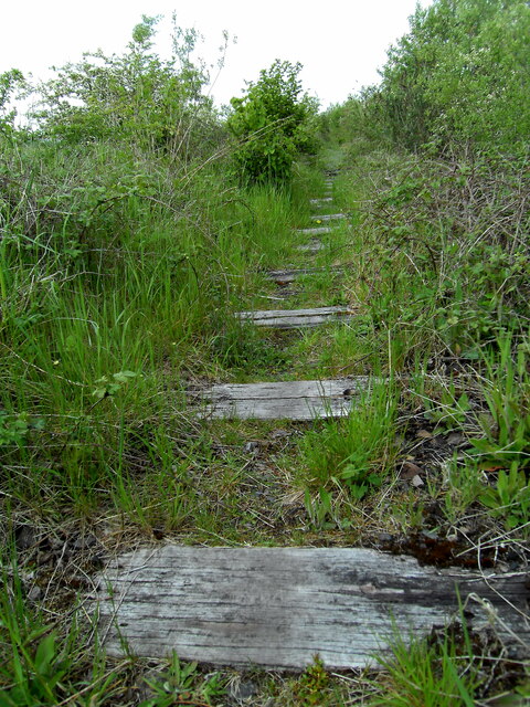
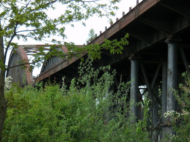
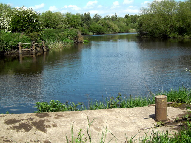
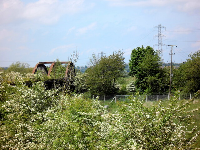
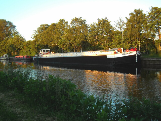
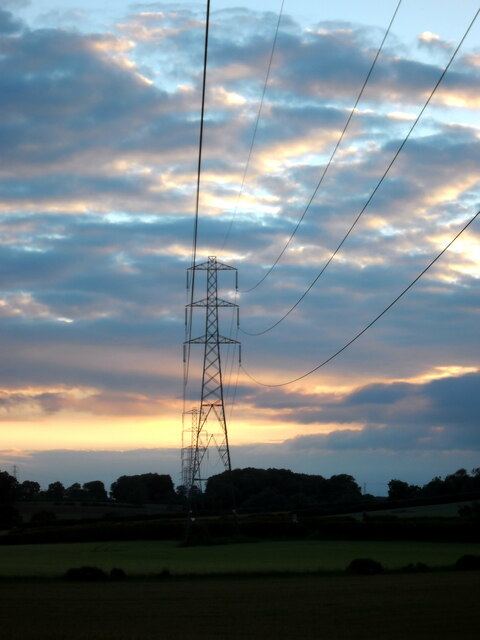
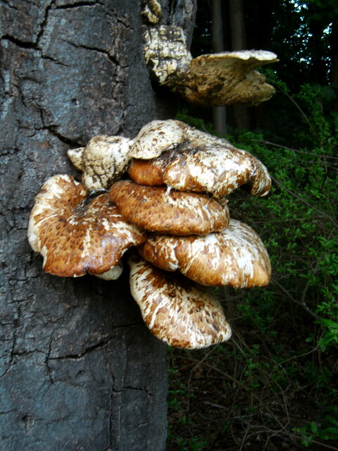
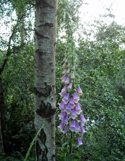
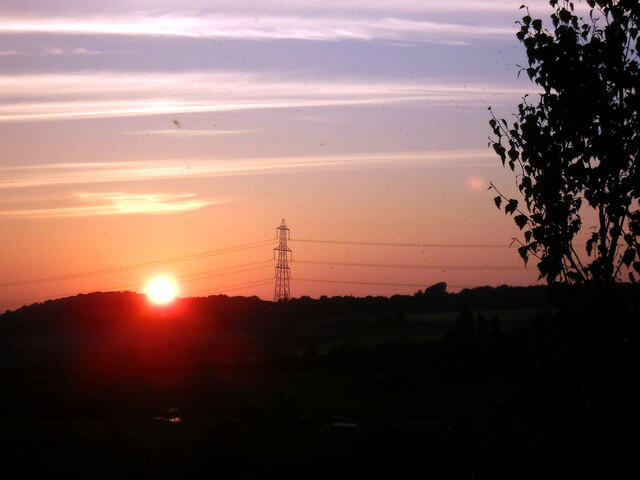
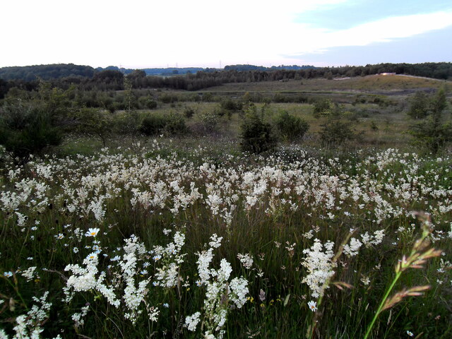
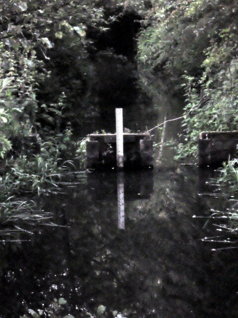
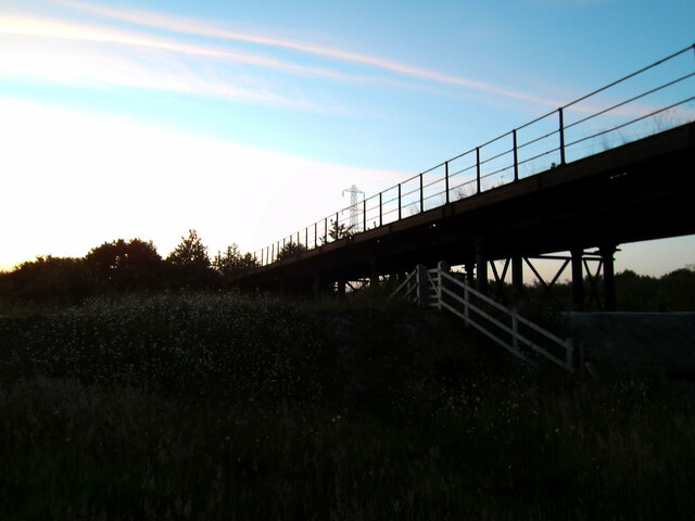
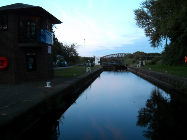
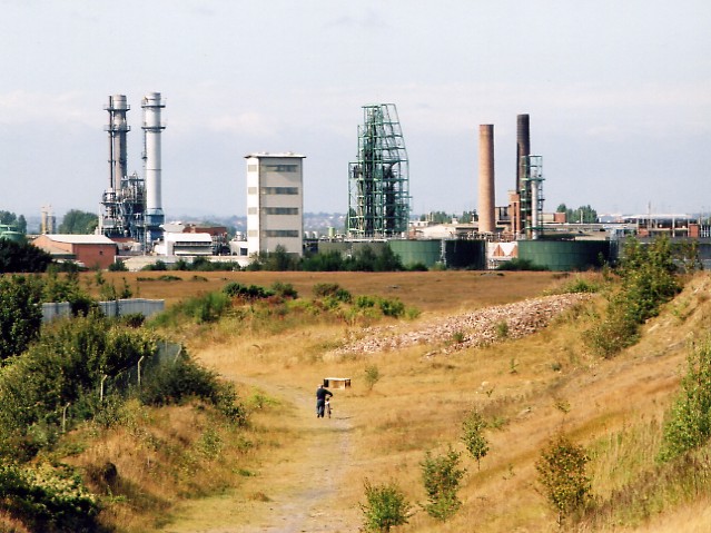
Newton Images

Images are sourced within 2km of 53.745136/-1.3238524 or Grid Reference SE4427. Thanks to Geograph Open Source API. All images are credited.

RSPB Wood carving way marker. Fairburn Ings
The "Iron Bridge" Castleford Derelict railway viaduct over the Aire and Calder Navigation, locally referred to as "The Iron Bridge".
The "Iron Bridge" Castleford
Derelict railway viaduct over the Aire and Calder Navigation, locally referred to as "The Iron Bridge".
Site of demolished Wheldale Colliery and demolished Hickson and Welsh chemical works, Castleford Methane from the old colliery working is now used to generate electricity.
Site of demolished Wheldale Colliery and demolished Hickson and Welsh chemical works, Castleford
Methane from the old colliery working is now used to generate electricity.
Course of disused railway line The old railway line that once led over the Iron Bridge towards Allerton Bywater.
Course of disused railway line
The old railway line that once led over the Iron Bridge towards Allerton Bywater.
The Iron Bridge
The Iron Bridge
Ex Wheldale Colliery Stathe and barge loading basin Where the coal was loaded on tom puddings to be transported down the Aire and Calder Navigation for export from Goole.
Ex Wheldale Colliery Stathe and barge loading basin
Where the coal was loaded on tom puddings to be transported down the Aire and Calder Navigation for export from Goole.
Overgrown disused railway line and viaduct
Sunset from Bullholme locks Castleford
The "Freda Careless". Barge moored on the canal at Lock Lane Castleford.
The "Freda Careless".
Barge moored on the canal at Lock Lane Castleford.
Pylons at sunset at Newfield Farm Near to Ledsham, Yorkshire
Pylons at sunset at Newfield Farm
Near to Ledsham, Yorkshire
Tree fumgi Newfield plantation Ledsham
Tree fumgi
Newfield plantation Ledsham
Newfield Farm
Newfield Farm
Newfield Plantation foxglove
Fairburn Ings sunset
Fairburn Ings wild flowers
Kingfisher viewing point at Fairburn Ings Waited until nearly dark but he failed to make an appearance.
Kingfisher viewing point at Fairburn Ings
Waited until nearly dark but he failed to make an appearance.
The Iron Bridge at twilight
Twilight at Bullholme Locks Castleford
Show me another place!

Newton is located at Grid Ref: SE4427 (Lat: 53.745136, Lng: -1.3238524)

Division: West Riding

Unitary Authority: Leeds

Police Authority: West Yorkshire

What 3 Words

///flash.milk.sushi. Near Ledston, West Yorkshire

Nearby Locations

Newton

Related Wikis

Fairburn Ings RSPB reserve

Fairburn Ings Nature Reserve is a protected area in West Yorkshire, England, noted for its avian biodiversity. The reserve has recorded around 280 bird...

Osgoldcross Rural District

Osgoldcross Rural District was a rural district in the West Riding of Yorkshire, England. It was created in 1938, from 19 remaining parishes of the disbanded...

Osgoldcross Wapentake

Osgoldcross was a wapentake of the West Riding of Yorkshire, England. It included the parishes of Adlingfleet, Badsworth, Burghwallis, Campsall, Castleford...

New Fryston

New Fryston is a small former coal mining village in Castleford, West Yorkshire, England, located in a river bend on the south bank of the River Aire....

Airedale and Ferry Fryston

Airedale and Ferry Fryston is an electoral ward of the City of Wakefield district used for elections to Wakefield Metropolitan District Council. ��2�...

Ledston

Ledston is a village in the Leeds metropolitan borough, in the county of West Yorkshire, England. It is 3 miles (5 km) north of Castleford and 10 miles...

Wheldale Colliery

Wheldale Colliery was a coal mine located in Castleford, Yorkshire, England which produced coal for 117 years. It was accessed from Wheldon Road. After...

Hickson & Welch

Hickson & Welch was a British chemicals company based in Castleford. == History == Ernest Hickson had founded a company in 1893 to introduce sulphur black...

Nearby Amenities

Located within 500m of 53.745136,-1.3238524
Power: pole
Lat/Long: 53.7458808/-1.3167397
Power: pole
Lat/Long: 53.7460455/-1.3190393
Power: pole
Lat/Long: 53.7461986/-1.3208461
Power: pole
Lat/Long: 53.7463418/-1.3229453
Power: pole
Lat/Long: 53.7465599/-1.325478
Power: pole
Lat/Long: 53.7468637/-1.3266907
Power: pole
Lat/Long: 53.7472572/-1.328236
Bench
Backrest: yes
Lat/Long: 53.7433051/-1.3179882
Bench
Backrest: yes
Lat/Long: 53.7416786/-1.3207173
Bench
Backrest: no
Lat/Long: 53.7435267/-1.3177193
Bench
Backrest: yes
Lat/Long: 53.7431505/-1.3188226
Bench
Backrest: no
Lat/Long: 53.7435011/-1.3176284
Bench
Backrest: yes
Lat/Long: 53.7431601/-1.3188456
Bench
Backrest: no
Lat/Long: 53.743496/-1.3175621
Bench
Backrest: yes
Lat/Long: 53.7432002/-1.3185373
Bench
Backrest: no
Lat/Long: 53.7418539/-1.3260889
Bench
Backrest: no
Lat/Long: 53.7435114/-1.3176543
Bench
Backrest: no
Lat/Long: 53.7418546/-1.3259967
Bench
Backrest: yes
Lat/Long: 53.7431746/-1.3188754
Bench
Backrest: no
Lat/Long: 53.7434945/-1.3176716
Bench
Backrest: yes
Lat/Long: 53.7418555/-1.326046
Openfire: no
Tourism: picnic_site
Lat/Long: 53.7443958/-1.3171189
Bench
Backrest: no
Lat/Long: 53.7434826/-1.3176425
Bench
Backrest: no
Lat/Long: 53.7435077/-1.3175862
Bench
Backrest: yes
Lat/Long: 53.7435224/-1.3175022
Bench
Backrest: no
Lat/Long: 53.7434895/-1.3176014
Bench
Backrest: yes
Lat/Long: 53.7439247/-1.3174047
Bicycle Parking
Lat/Long: 53.7444313/-1.3172039
Building: tree_house
Lat/Long: 53.7442131/-1.3167439
Bench
Backrest: yes
Lat/Long: 53.7441321/-1.3168274
Shelter
Lat/Long: 53.7443917/-1.3164336
Tourism: picnic_site
Lat/Long: 53.744475/-1.316622
Defibrillator
Access: yes
Defibrillator Location: On ouside wall of RSPB visitors' centre building.
Emergency: defibrillator
Lat/Long: 53.744519/-1.3172664
Toilets
Access: customers
Lat/Long: 53.7444574/-1.3173341
The data included in this document is from www.openstreetmap.org. The data is made available under ODbL.

Have you been to Newton?

Leave your review of Newton below (or comments, questions and feedback).