Low Fremington

Settlement in Yorkshire Richmondshire

England

Low Fremington

Field barn east of Skelgate Lane Skelgate Lane climbs from the western side of Reeth towards Calver Hill.
Arkengarthdale is beyond the barn with Fremington Edge rising from that valley.
Field barn east of Skelgate Lane Credit: Trevor Littlewood

Low Fremington is a small village located in the district of Richmondshire, in the county of Yorkshire, England. Situated on the banks of the River Swale, it lies approximately 4 miles north of the market town of Richmond. Low Fremington is part of the larger Fremington parish, which also includes High Fremington.

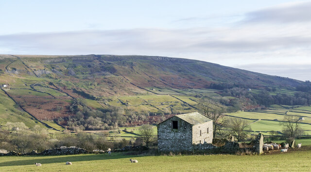
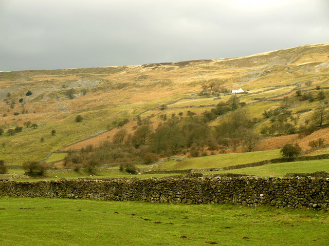
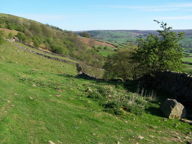
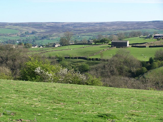
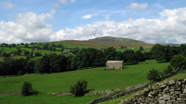
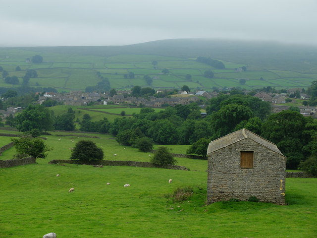
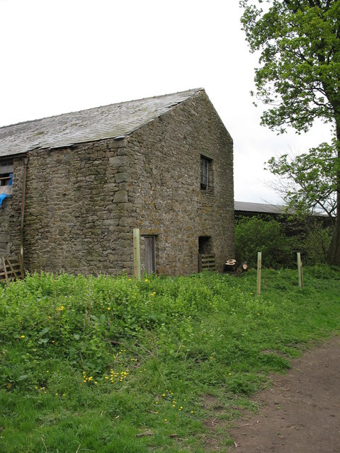
The village is known for its picturesque setting amidst the rolling hills and meandering river, providing residents and visitors with stunning views of the surrounding countryside. The area is predominantly rural, with a charming mix of stone houses and cottages that add to its traditional English village atmosphere.

Low Fremington does not have many amenities of its own, but it benefits from its proximity to Richmond, where residents can access a wider range of shops, schools, and services. The village is well-connected to other nearby towns and cities via the A1(M) motorway, which is easily accessible from the village.

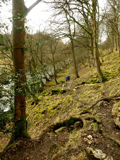
The River Swale is a significant feature of Low Fremington, offering opportunities for fishing, boating, and leisurely walks along its banks. The scenic Swale Trail, a long-distance footpath, passes through the village, attracting outdoor enthusiasts and nature lovers.

Overall, Low Fremington is a peaceful and idyllic village that offers a tranquil lifestyle amidst the natural beauty of the Yorkshire Dales. Its proximity to Richmond and its picturesque surroundings make it an attractive place to live for those seeking a rural retreat with easy access to amenities.

If you have any feedback on the listing, please let us know in the comments section below.

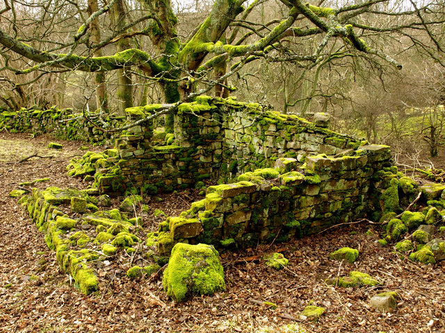
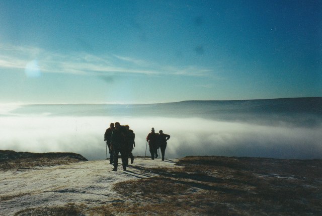
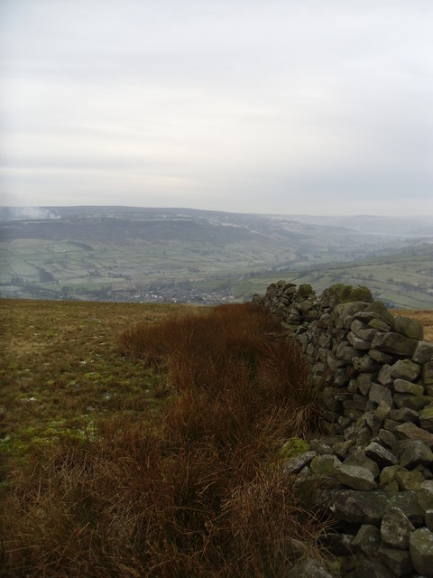
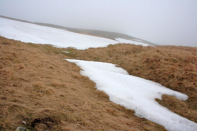
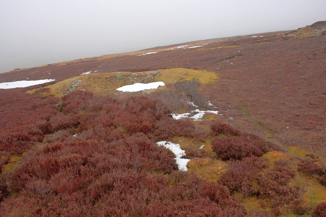
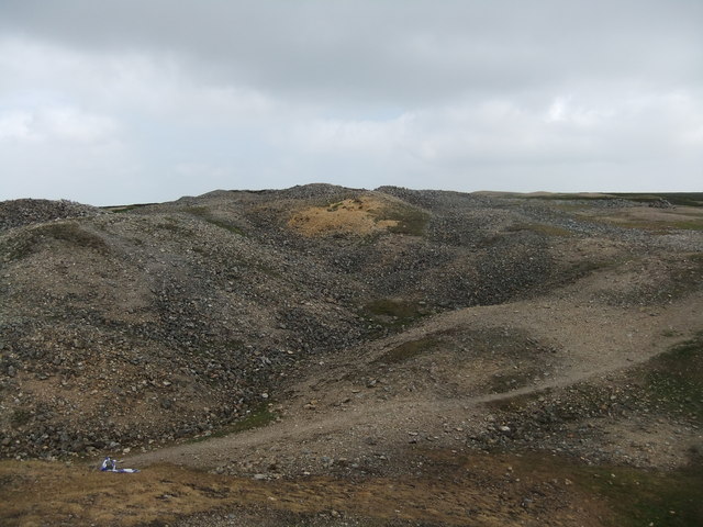
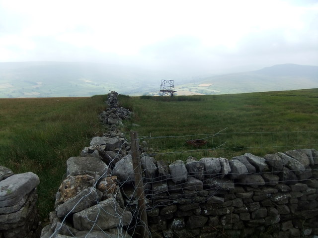
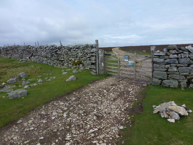
Low Fremington Images

Images are sourced within 2km of 54.386559/-1.9325838 or Grid Reference SE0499. Thanks to Geograph Open Source API. All images are credited.

Field barn east of Skelgate Lane Skelgate Lane climbs from the western side of Reeth towards Calver Hill.
Arkengarthdale is beyond the barn with Fremington Edge rising from that valley.
Field barn east of Skelgate Lane
Skelgate Lane climbs from the western side of Reeth towards Calver Hill. Arkengarthdale is beyond the barn with Fremington Edge rising from that valley.
Bridleway next to Arkle Beck
White House from east of Reeth
Mossy Wall
Mossy Wall
Moss-covered Ruin
Moss-covered Ruin
Footpath below Fremington Edge
View across the Arkle Beck
Arkengarthdale from near Cuckoo Hill The view is across the nearby cultivated fields of the east side of Arkengarthdale; the hill rising distantly is Calver Hill.
Arkengarthdale from near Cuckoo Hill
The view is across the nearby cultivated fields of the east side of Arkengarthdale; the hill rising distantly is Calver Hill.
Footpath on track at Fremington Edge
Old wall on Fremington edge A stiff walk from Reeth.
Old wall on Fremington edge
A stiff walk from Reeth.
Cairn on Marrick Moor High above Swaledale.
Cairn on Marrick Moor
High above Swaledale.
In the Mist on Fremington Edge
Copperthwaite Allotment Disused shafts and spoil tips resulting from the lead mining activities on Marrick Moor.
Copperthwaite Allotment
Disused shafts and spoil tips resulting from the lead mining activities on Marrick Moor.
Copperthwaite Allotment Disused shafts and spoil tips resulting from the lead mining activities on Marrick Moor.
Copperthwaite Allotment
Disused shafts and spoil tips resulting from the lead mining activities on Marrick Moor.
Spoilheap moonscape, Copperthwaite Allotment
Radio mast remains, Fremington Edge
Wall and gate above Fremington Edge
Old barn and footpath sign Although the footpath isn't well defined here, the farmer has painted various markers to help keep walker on the right track.
Old barn and footpath sign
Although the footpath isn't well defined here, the farmer has painted various markers to help keep walker on the right track.
Show me another place!

Low Fremington is located at Grid Ref: SE0499 (Lat: 54.386559, Lng: -1.9325838)

Division: North Riding

Administrative County: North Yorkshire

District: Richmondshire

Police Authority: North Yorkshire

What 3 Words

///guards.groomed.chariots. Near Leyburn, North Yorkshire

Related Wikis

Fremington, North Yorkshire

Fremington is a hamlet in the Yorkshire Dales in North Yorkshire, England. The hamlet is almost joined to Reeth and Grinton. It is split into Low Fremington...

Arkle Beck

Arkle Beck is the stream running through the valley of Arkengarthdale in the Yorkshire Dales, England. It is a tributary of the River Swale, which it joins...

Swaledale Museum

Swaledale Museum is a local museum in the village of Reeth, near Richmond in North Yorkshire, England. It covers rural history including life and work...

Swaledale Festival

The Swaledale Festival takes place over two weeks in May and June each year, in churches, chapels, castles, ‘Literary Institutes’, pubs, fields and village...

Nearby Amenities

Located within 500m of 54.386559,-1.9325838
Barrier: stile
Foot: designated
Lat/Long: 54.3881194/-1.9347773
Dales Bike Centre
Addr Street: B6270
Phone: +44 1748 884 908
Shop: bicycle
Website: https://www.dalesbikecentre.co.uk/
Lat/Long: 54.3848097/-1.9302968
Cafe
Dales Bike Hostel
Shop: bicycle
Tourism: hostel
Lat/Long: 54.3848522/-1.9305671
Fremington
Place: hamlet
Source: OS_OpenData_StreetView
Wikidata: Q5501524
Lat/Long: 54.3856499/-1.9302838
Barrier: stile
Foot: designated
Lat/Long: 54.388064/-1.93383
Barrier: stile
Foot: designated
Stile: squeezer
Lat/Long: 54.388169/-1.9371589
The Barn Home Farm
Tourism: guest_house
Lat/Long: 54.3852402/-1.929931
Tourism: picnic_site
Lat/Long: 54.3880502/-1.9372622
Power: pole
Lat/Long: 54.3900142/-1.9351461
Power: pole
Lat/Long: 54.3893942/-1.9338399
Power: pole
Lat/Long: 54.3879065/-1.9291299
Power: pole
Lat/Long: 54.3880807/-1.9298179
Power: pole
Lat/Long: 54.3868889/-1.9251059
Power: pole
Lat/Long: 54.38727/-1.9266261
Power: pole
Lat/Long: 54.38768/-1.9282421
Power: pole
Lat/Long: 54.3882416/-1.9304657
Power: pole
Lat/Long: 54.3884188/-1.931159
Power: pole
Lat/Long: 54.3887554/-1.9325001
Power: pole
Lat/Long: 54.3897212/-1.9284837
Power: pole
Lat/Long: 54.3889113/-1.9301592
The data included in this document is from www.openstreetmap.org. The data is made available under ODbL.

Have you been to Low Fremington?

Leave your review of Low Fremington below (or comments, questions and feedback).