Low Fold

Settlement in Yorkshire

England

Low Fold

Rawson Square, Bradford
Rawson Square, Bradford Credit: habiloid

Low Fold is a small village located in the scenic region of Yorkshire, England. Nestled amidst rolling hills and picturesque landscapes, the village offers a tranquil and idyllic setting for residents and visitors alike. Situated in the county of West Yorkshire, Low Fold is part of the larger metropolitan borough of Kirklees.

The village is characterized by its traditional stone houses and buildings that exude a sense of rustic charm. The architecture reflects the area's rich history, with some structures dating back several centuries. Low Fold is known for its close-knit community and friendly atmosphere, with residents often engaging in local events and activities.

Surrounded by lush green fields and meadows, the village is an ideal destination for nature lovers and outdoor enthusiasts. There are several walking and hiking trails that wind through the countryside, offering breathtaking views of the surrounding landscape. The nearby River Holme provides opportunities for fishing and boating, adding to the recreational options available.

Low Fold is also home to a few local amenities, including a village hall and a small convenience store, catering to the everyday needs of its residents. While it maintains a peaceful ambiance, the village is within easy reach of larger towns and cities such as Huddersfield and Leeds, which offer a wider range of services and amenities.

Overall, Low Fold, Yorkshire presents an enchanting blend of natural beauty, historical charm, and community spirit, making it an appealing destination for those seeking a serene and traditional English village experience.

If you have any feedback on the listing, please let us know in the comments section below.
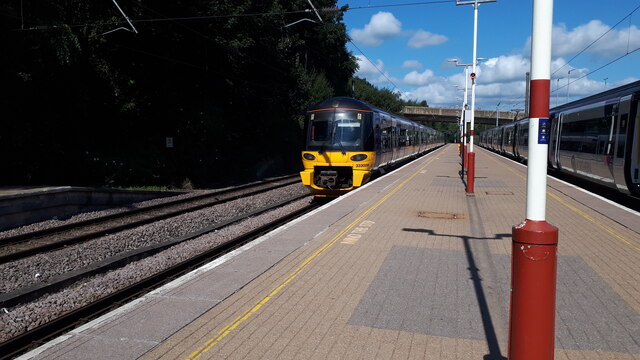
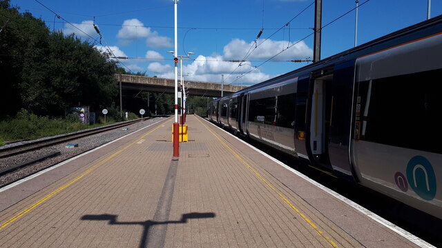
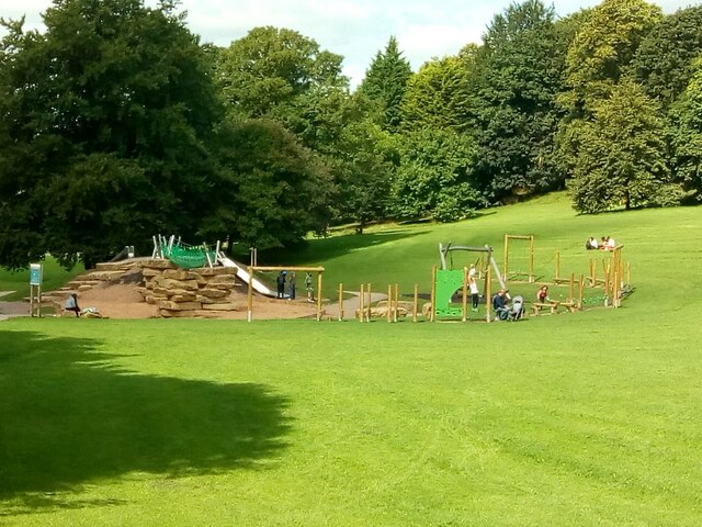
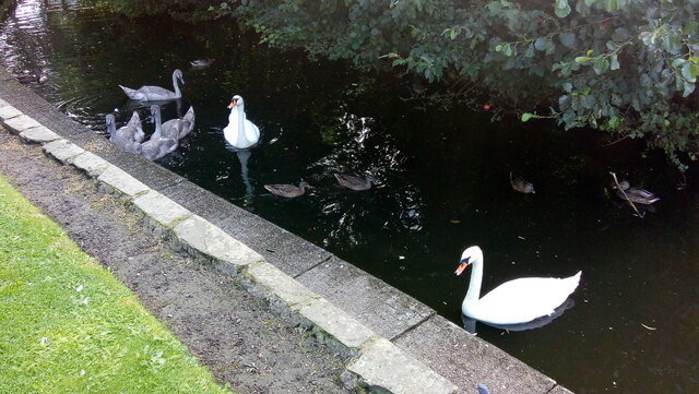
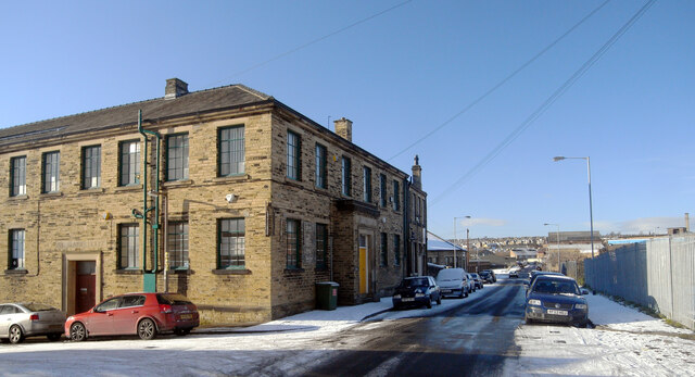
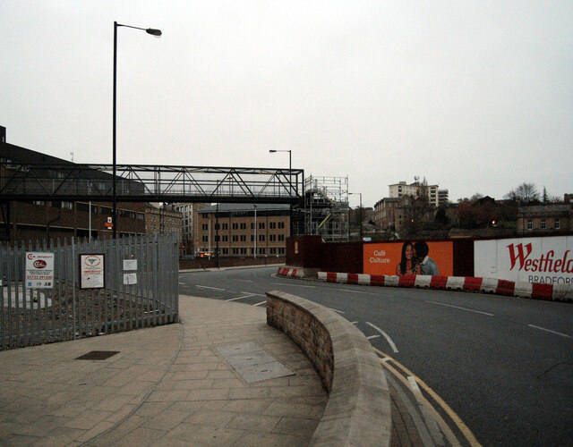
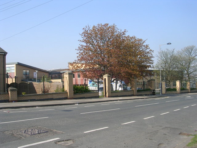
Low Fold Images

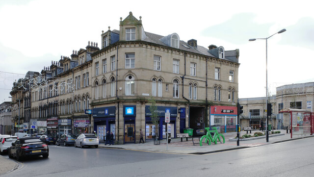
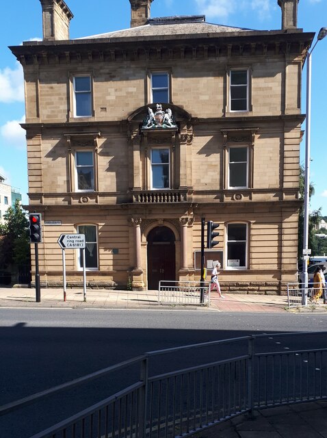
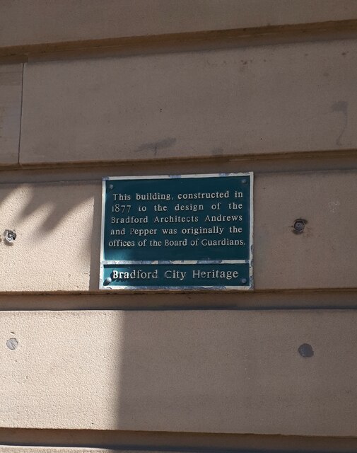
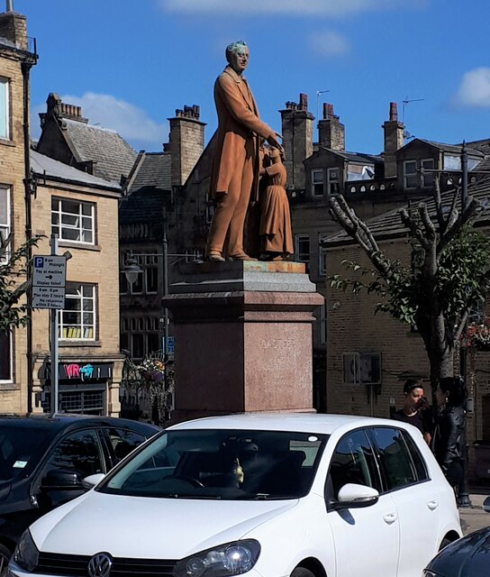
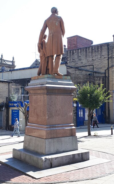
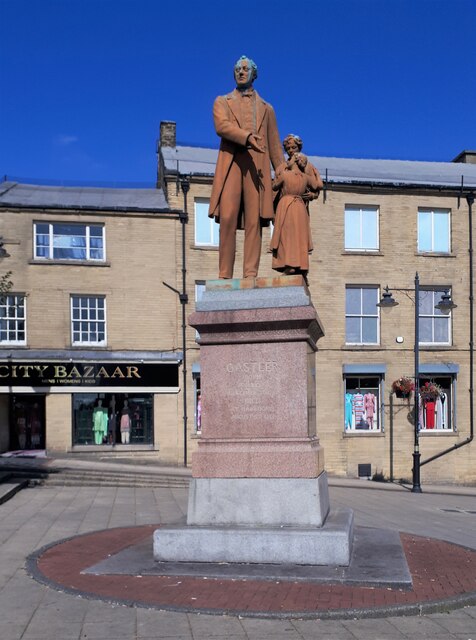
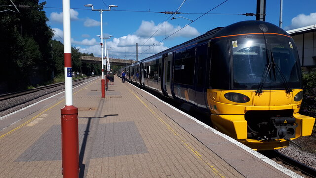
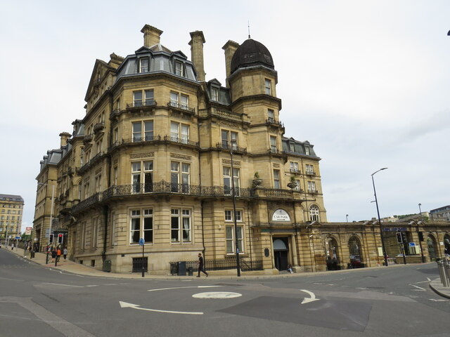
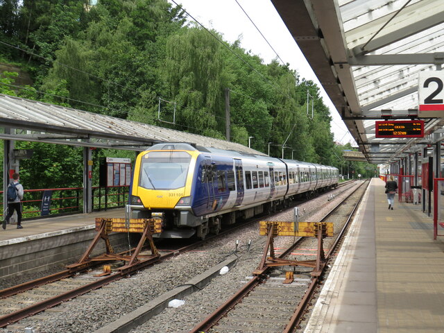
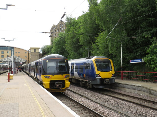
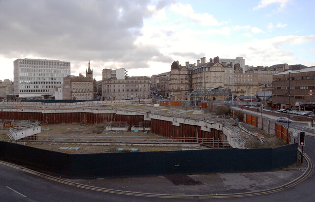
Images are sourced within 2km of 53.811335/-1.7466504 or Grid Reference SE1635. Thanks to Geograph Open Source API. All images are credited.

Rawson Square, Bradford
Polish Anna, Oastler Centre, Bradford This stencilled artwork, by the Bristol artist Stewy, was installed about April 2021, on the outside wall of the Oastler Centre. It is on the wall facing Northgate, very near the corner with John Street.
Polish Anna was a well known character around Bradford markets in the 1970's and 80's, when I lived in Bradford. I remember seeing her often, always with badges on her clothes, usually with a Morrisons carrier bag (faithfully reproduced here), a loud deep singing voice and with a stick. The story I heard was that she was a Pole who had been incarcerated in one of the Nazi concentration camps in WW2, and had been subjected to medical experiments by doctors there. My neighbour, who knew her better, said she was very kind to children, was very strong - when drunk it was known that 3 or 4 policemen were needed to control her.
The Bradford Telegraph and Argus ran some articles of people's memories of Anna - on Sept 22 2020 <span class="nowrap"><a title="https://www.thetelegraphandargus.co.uk/news/18736913.remarkable-images-bradfords-old-anna/" rel="nofollow ugc noopener" href="https://www.thetelegraphandargus.co.uk/news/18736913.remarkable-images-bradfords-old-anna/">Link</a><img style="margin-left:2px;" alt="External link" title="External link - shift click to open in new window" src="https://s1.geograph.org.uk/img/external.png" width="10" height="10"/></span> Oct 7 2020 <span class="nowrap"><a title="https://www.thetelegraphandargus.co.uk/news/18774268.readers-uncover-old-annas-story/" rel="nofollow ugc noopener" href="https://www.thetelegraphandargus.co.uk/news/18774268.readers-uncover-old-annas-story/">Link</a><img style="margin-left:2px;" alt="External link" title="External link - shift click to open in new window" src="https://s1.geograph.org.uk/img/external.png" width="10" height="10"/></span> 
See also this Telegraph and Argus article from Apr 2021 about the 4 artworks by Stewy in central Bradford <span class="nowrap"><a title="https://www.thetelegraphandargus.co.uk/news/19239397.polish-anna-among-bradford-icons-celebrated-street-art-project/" rel="nofollow ugc noopener" href="https://www.thetelegraphandargus.co.uk/news/19239397.polish-anna-among-bradford-icons-celebrated-street-art-project/">Link</a><img style="margin-left:2px;" alt="External link" title="External link - shift click to open in new window" src="https://s1.geograph.org.uk/img/external.png" width="10" height="10"/></span>
Polish Anna, Oastler Centre, Bradford
This stencilled artwork, by the Bristol artist Stewy, was installed about April 2021, on the outside wall of the Oastler Centre. It is on the wall facing Northgate, very near the corner with John Street. Polish Anna was a well known character around Bradford markets in the 1970's and 80's, when I lived in Bradford. I remember seeing her often, always with badges on her clothes, usually with a Morrisons carrier bag (faithfully reproduced here), a loud deep singing voice and with a stick. The story I heard was that she was a Pole who had been incarcerated in one of the Nazi concentration camps in WW2, and had been subjected to medical experiments by doctors there. My neighbour, who knew her better, said she was very kind to children, was very strong - when drunk it was known that 3 or 4 policemen were needed to control her. The Bradford Telegraph and Argus ran some articles of people's memories of Anna - on Sept 22 2020 LinkExternal link Oct 7 2020 LinkExternal link See also this Telegraph and Argus article from Apr 2021 about the 4 artworks by Stewy in central Bradford LinkExternal link
Former Bradford Register Office building, Manor Row When I lived in Bradford in the 1970's, I attended a wedding here on a very snowy winter's day. The weather had caused chaos in the city, many brides or grooms were delayed, and the timetable was abandoned, with couples being married whenever they were both there. As for myself, I was there in anorak and boots, having helped the groom's family to dig their car out from the snow and getting an invitation once it was moving. I hurriedly got my camera, which was lucky as I was the only person at the wedding with a camera so I became the official photographer.
The Register Office is now at Bradford City Hall, and this building appears to be empty.
See <a href="https://www.geograph.org.uk/photo/6946168">SE1633 : Plaque on the wall of the former Register Office, Manor Row</a>
Former Bradford Register Office building, Manor Row
When I lived in Bradford in the 1970's, I attended a wedding here on a very snowy winter's day. The weather had caused chaos in the city, many brides or grooms were delayed, and the timetable was abandoned, with couples being married whenever they were both there. As for myself, I was there in anorak and boots, having helped the groom's family to dig their car out from the snow and getting an invitation once it was moving. I hurriedly got my camera, which was lucky as I was the only person at the wedding with a camera so I became the official photographer. The Register Office is now at Bradford City Hall, and this building appears to be empty. See SE1633 : Plaque on the wall of the former Register Office, Manor Row
Plaque on the wall of the former Register Office, Manor Row The plaque tells us that the building was constructed in 1877 to the design of Bradford architects Andrews and Pepper and was originally the offices of the Board of Guardians. See <a href="https://www.geograph.org.uk/photo/6946164">SE1633 : Former Bradford Register Office building, Manor Row</a>.
Plaque on the wall of the former Register Office, Manor Row
The plaque tells us that the building was constructed in 1877 to the design of Bradford architects Andrews and Pepper and was originally the offices of the Board of Guardians. See SE1633 : Former Bradford Register Office building, Manor Row.
Statue of Richard Oastler, Oastler Square, Bradford Richard Oastler was an early campaigner for improved conditions in factories, his campaign led to the first Act of Parliament to limit the hours that could be worked by children. He is also one of my distant relatives, descended from my 6xgreat grandfather Sampson Oastler of Kirby Wiske in North Yorkshire.
See Wikipedia article <span class="nowrap"><a title="https://en.wikipedia.org/wiki/Richard_Oastler" rel="nofollow ugc noopener" href="https://en.wikipedia.org/wiki/Richard_Oastler">Link</a><img style="margin-left:2px;" alt="External link" title="External link - shift click to open in new window" src="https://s1.geograph.org.uk/img/external.png" width="10" height="10"/></span>
Statue of Richard Oastler, Oastler Square, Bradford
Richard Oastler was an early campaigner for improved conditions in factories, his campaign led to the first Act of Parliament to limit the hours that could be worked by children. He is also one of my distant relatives, descended from my 6xgreat grandfather Sampson Oastler of Kirby Wiske in North Yorkshire. See Wikipedia article LinkExternal link
Statue of Richard Oastler, Bradford See also <a href="https://www.geograph.org.uk/photo/6946175">SE1633 : Statue of Richard Oastler, Oastler Square, Bradford</a>
Statue of Richard Oastler, Bradford
Statue of Richard Oastler, Oastler Square, Bradford See also <a href="https://www.geograph.org.uk/photo/6946175">SE1633 : Statue of Richard Oastler, Oastler Square, Bradford</a>
Statue of Richard Oastler, Oastler Square, Bradford
The 12:00 train to Leeds, platform 1 Forster Square station My train to Leeds, one of 3 waiting at Platform 1. The bridge in the background carries Hamm Strasse over the railway lines.
See Wikipedia <span class="nowrap"><a title="https://en.wikipedia.org/wiki/Bradford_Forster_Square_railway_station" rel="nofollow ugc noopener" href="https://en.wikipedia.org/wiki/Bradford_Forster_Square_railway_station">Link</a><img style="margin-left:2px;" alt="External link" title="External link - shift click to open in new window" src="https://s1.geograph.org.uk/img/external.png" width="10" height="10"/></span>
The 12:00 train to Leeds, platform 1 Forster Square station
My train to Leeds, one of 3 waiting at Platform 1. The bridge in the background carries Hamm Strasse over the railway lines. See Wikipedia LinkExternal link
Forster Square Station, Bradford The 11:46 train to Ilkley leaving from platform 2, the 12:00 to Leeds waits at platform 1 on the right.
The bridge in the background carries Hamm Strasse over the railway lines.
See Wikipedia <span class="nowrap"><a title="https://en.wikipedia.org/wiki/Bradford_Forster_Square_railway_station" rel="nofollow ugc noopener" href="https://en.wikipedia.org/wiki/Bradford_Forster_Square_railway_station">Link</a><img style="margin-left:2px;" alt="External link" title="External link - shift click to open in new window" src="https://s1.geograph.org.uk/img/external.png" width="10" height="10"/></span>
Forster Square Station, Bradford
The 11:46 train to Ilkley leaving from platform 2, the 12:00 to Leeds waits at platform 1 on the right. The bridge in the background carries Hamm Strasse over the railway lines. See Wikipedia LinkExternal link
Hamm Strasse bridge from Forster Square station Seen from platform 1, the 12:00 train to Leeds waiting on the right.
Hamm Strasse bridge from Forster Square station
Seen from platform 1, the 12:00 train to Leeds waiting on the right.
Lower Playground, Peel Park, Bradford
A Family of Swans on Peel Park Lake, Bradford Mum, dad and four cygnets, plus a few ducks.
A Family of Swans on Peel Park Lake, Bradford
Mum, dad and four cygnets, plus a few ducks.
Midland Hotel, Bradford The Midland Hotel in Bradford.  When it was built, the hotel formed part of the frontage of Bradford Midland railway station.  The station was later renamed Bradford Forster Square.  The station was redeveloped in the 1990s, a short distance further back from the hotel.
Midland Hotel, Bradford
The Midland Hotel in Bradford. When it was built, the hotel formed part of the frontage of Bradford Midland railway station. The station was later renamed Bradford Forster Square. The station was redeveloped in the 1990s, a short distance further back from the hotel.
Bradford Forster Square railway station Bradford Forster Square is one of two railway stations in the centre of Bradford.  It is a terminus station for trains on the Airedale and Wharfedale lines, as well as for occasional inter-city trains to and from London.  The station was rebuilt in 1990, slightly to the north of its original site.

A class 331 electric multiple unit awaits departure to Skipton.
Bradford Forster Square railway station
Bradford Forster Square is one of two railway stations in the centre of Bradford. It is a terminus station for trains on the Airedale and Wharfedale lines, as well as for occasional inter-city trains to and from London. The station was rebuilt in 1990, slightly to the north of its original site. A class 331 electric multiple unit awaits departure to Skipton.
Trains at Bradford Forster Square Two electric multiple unit trains at Bradford Forster Square station.  To the left, nearer the camera, is a Class 333 unit awaiting departure for Ilkley.  The train to the right is a newer Class 331 unit which will leave for Skipton.

These trains draw their power from overhead wires.
Trains at Bradford Forster Square
Two electric multiple unit trains at Bradford Forster Square station. To the left, nearer the camera, is a Class 333 unit awaiting departure for Ilkley. The train to the right is a newer Class 331 unit which will leave for Skipton. These trains draw their power from overhead wires.
Redevelopment in Bradford city centre seen from Cathedral Steps An area of the centre of Bradford comprising parts of Forster Square, Hall Ings and Broadway together with Charles Street, Booth Street and Bentley Street was cleared in the late 2000s with  view to building a new Westfield shopping centre.  Construction was delayed for several years due to the economic recession, but resumed in 2014. The final development, named Broadway, opened on 5 November 2015.
Redevelopment in Bradford city centre seen from Cathedral Steps
An area of the centre of Bradford comprising parts of Forster Square, Hall Ings and Broadway together with Charles Street, Booth Street and Bentley Street was cleared in the late 2000s with view to building a new Westfield shopping centre. Construction was delayed for several years due to the economic recession, but resumed in 2014. The final development, named Broadway, opened on 5 November 2015.
Rebecca House, Rebecca Street, Bradford
Redevelopment in Bradford city centre seen from Lower Kirkgate An area of the centre of Bradford comprising parts of Forster Square, Hall Ings and Broadway together with Charles Street, Booth Street and Bentley Street was cleared in the late 2000s with  view to building a new Westfield shopping centre.  Construction was delayed for several years due to the economic recession, but resumed in 2014. The final development, named Broadway, opened on 5 November 2015.
Redevelopment in Bradford city centre seen from Lower Kirkgate
An area of the centre of Bradford comprising parts of Forster Square, Hall Ings and Broadway together with Charles Street, Booth Street and Bentley Street was cleared in the late 2000s with view to building a new Westfield shopping centre. Construction was delayed for several years due to the economic recession, but resumed in 2014. The final development, named Broadway, opened on 5 November 2015.
Show me another place!

Low Fold is located at Grid Ref: SE1635 (Lat: 53.811335, Lng: -1.7466504)

Division: West Riding

Unitary Authority: Bradford

Police Authority: West Yorkshire

What 3 Words

///blend.badly.global. Near Bradford, West Yorkshire

Related Wikis

Peel Park, Bradford

Peel Park is a 22.6-hectare (56-acre) urban public park in the Bolton and Undercliffe area of Bradford, England, located about 0.75 miles (1.2 km) north...

Bradford North (UK Parliament constituency)

Bradford North was a borough constituency represented in the House of Commons of the Parliament of the United Kingdom. Until it was abolished for the 2010...

Feversham Girls' Academy

Feversham Girls' Academy (formerly Feversham College) is an Islamic secondary school and sixth form for girls located in the Undercliffe area of Bradford...

Hanson Academy

Hanson Academy (formerly Hanson Grammar School and then Hanson School) is a co-educational secondary school and sixth-form located in Bradford, West Yorkshire...

Nearby Amenities

Located within 500m of 53.811335,-1.7466504
Traffic Signals
Lat/Long: 53.8109728/-1.7448998
Traffic Signals
Source: survey
Lat/Long: 53.8100856/-1.7528958
Traffic Signals
Lat/Long: 53.8107119/-1.7456521
Post Box
Operator: Royal Mail
Operator Wikidata: Q638098
Postal Code: BD3
Ref: BD3 88
Lat/Long: 53.8072999/-1.7492457
Historic: memorial
Lat/Long: 53.809752/-1.7402984
Peel
Historic: memorial
Lat/Long: 53.8083857/-1.7435374
Cafe
Peel Park Cafe
Lat/Long: 53.8078884/-1.7455968
Turning Circle
Lat/Long: 53.8136837/-1.748506
Bus Stop
Bolton Lane Ashbourne Crescent
Bus: yes
Local Ref: 45016642
Naptan AtcoCode: 450016642
Naptan Bearing: E
Naptan CommonName: Bolton Lane Ashbourne Crescent
Naptan Crossing: Ashbourne Crescent
Naptan Indicator: Stop 45016642
Naptan PlusbusZoneRef: LEEDS
Naptan ShortCommonName: Ashbourne Crescent
Naptan Street: Bolton Lane
Naptan Verified: yes
Public Transport: platform
Ref: 450 16642
Source: naptan_import
Lat/Long: 53.8121583/-1.7478136
Bus Stop
Bolton Lane Ashbourne Crescent
Bus: yes
Local Ref: 45050439
Naptan AtcoCode: 450050439
Naptan Bearing: W
Naptan BusStopType: CUS
Naptan CommonName: Bolton Lane Ashbourne Crescent
Naptan Indicator: Stop 45050439
Naptan PlusbusZoneRef: LEEDS
Naptan ShortCommonName: Ashbourne Crescent
Naptan Street: Bolton Lane
Naptan Verified: yes
Public Transport: platform
Ref: 450 16642
Source: naptan_import
Lat/Long: 53.8120941/-1.7478167
Premier Convenience Store
Addr Housenumber: 111
Addr Street: Bolton Lane
Brand: Premier
Brand Wikidata: Q7240340
Shop: convenience
Lat/Long: 53.8121386/-1.7493694
Bus Stop
Bolton Lane Queens Avenue
Bus: yes
Local Ref: 45025356
Naptan AtcoCode: 450025356
Naptan Bearing: NE
Naptan CommonName: Bolton Lane Queens Avenue
Naptan Crossing: Queens Avenue
Naptan Indicator: Stop 45025356
Naptan Landmark: Old Peoples Home
Naptan PlusbusZoneRef: LEEDS
Naptan ShortCommonName: Queens Avenue
Naptan Street: Bolton Lane
Naptan Verified: yes
Public Transport: platform
Ref: 450 25356
Source: naptan_import
Lat/Long: 53.8116337/-1.7504228
Bus Stop
Bolton Lane Queens Avenue
Bus: yes
Local Ref: 45025355
Naptan AtcoCode: 450025355
Naptan Bearing: SW
Naptan CommonName: Bolton Lane Queens Avenue
Naptan Crossing: Queens Avenue
Naptan Indicator: Stop 45025355
Naptan Landmark: Old Peoples Home
Naptan PlusbusZoneRef: LEEDS
Naptan ShortCommonName: Queens Avenue
Naptan Street: Bolton Lane
Naptan Verified: yes
Public Transport: platform
Ref: 450 25355
Source: naptan_import
Lat/Long: 53.811414/-1.7507593
Turning Circle
Lat/Long: 53.8142178/-1.7419979
Turning Circle
Lat/Long: 53.8137403/-1.740797
Turning Circle
Lat/Long: 53.8137752/-1.7421838
Post Box
Operator: Royal Mail
Operator Wikidata: Q638098
Post Box Type: pillar
Ref: BD2 5
Lat/Long: 53.8113516/-1.7443547
Bus Stop
450 16554
Bus: yes
Public Transport: platform
Lat/Long: 53.8113134/-1.7444373
Post Box
Operator: Royal Mail
Operator Wikidata: Q638098
Ref: BD2 223
Lat/Long: 53.8101639/-1.7528886
Turning Circle
Lat/Long: 53.8106935/-1.7525643
Turning Circle
Lat/Long: 53.8157801/-1.7456301
Turning Circle
Lat/Long: 53.8147104/-1.7427296
Turning Circle
Lat/Long: 53.8122401/-1.7449903
Turning Circle
Lat/Long: 53.8137869/-1.7481159
Turning Circle
Lat/Long: 53.8142709/-1.7468189
Turning Circle
Lat/Long: 53.814773/-1.7466926
Turning Circle
Lat/Long: 53.8131933/-1.7534225
Power: tower
Lat/Long: 53.8145517/-1.7501957
Post Box
Operator: Royal Mail
Operator Wikidata: Q638098
Ref: BD2 42
Lat/Long: 53.8145804/-1.7518423
Turning Circle
Lat/Long: 53.811552/-1.7480508
Turning Circle
Lat/Long: 53.8110059/-1.7486453
Turning Circle
Lat/Long: 53.8110961/-1.7477411
Turning Circle
Lat/Long: 53.8109233/-1.7533902
Bus Stop
450 16802;Queens Road Queens Avenue
Bus: yes
Local Ref: 45016802
Naptan AtcoCode: 450016802
Naptan Bearing: E
Naptan CommonName: Queens Road Queens Avenue
Naptan Crossing: Queens Avenue
Naptan Indicator: Stop 45016802
Naptan Notes: OSR taken place 260805
Naptan PlusbusZoneRef: LEEDS
Naptan ShortCommonName: Queens Avenue
Naptan Street: Queen-s Road
Naptan Verified: yes
Public Transport: platform
Source: naptan_import
Lat/Long: 53.8104391/-1.7490868
Bus Stop
450 16803;Queens Road Queens Avenue
Bus: yes
Local Ref: 45016803
Naptan AtcoCode: 450016803
Naptan Bearing: W
Naptan CommonName: Queens Road Queens Avenue
Naptan Crossing: Queen-s Avenue
Naptan Indicator: Stop 45016803
Naptan PlusbusZoneRef: LEEDS
Naptan ShortCommonName: Queen-s Avenue
Naptan Street: Queens Road
Naptan Verified: yes
Public Transport: platform
Source: naptan_import
Lat/Long: 53.8103031/-1.748936
Traffic Signals
Lat/Long: 53.8100651/-1.7531416
Bus Stop
Kings Road Queens Road
Bus: yes
Local Ref: 45016636
Naptan AtcoCode: 450016636
Naptan Bearing: SE
Naptan CommonName: Kings Road Queens Road
Naptan Crossing: Bolton Lane
Naptan Indicator: Stop 45016636
Naptan Notes: Shelter removed 07/01/09 - RTA - to be replaced
Naptan PlusbusZoneRef: LEEDS
Naptan ShortCommonName: Bolton Lane
Naptan Street: King-s Road
Naptan Verified: yes
Public Transport: platform
Ref: 450 16636
Source: naptan_import
Lat/Long: 53.8107956/-1.7537071
Power: tower
Lat/Long: 53.8088279/-1.7524848
Power: tower
Lat/Long: 53.8124437/-1.7501897
Bus Stop
Ashbourne Road Ashbourne Haven
Bus: yes
Local Ref: 45016646
Naptan AtcoCode: 450016646
Naptan Bearing: S
Naptan CommonName: Ashbourne Road Ashbourne Haven
Naptan Crossing: Ashbourne Haven
Naptan Indicator: Stop 45016646
Naptan PlusbusZoneRef: LEEDS
Naptan ShortCommonName: Ashbourne Haven
Naptan Street: Ashbourne Road
Naptan Verified: no
Public Transport: platform
Ref: 450 16646
Source: naptan_import
Lat/Long: 53.8145783/-1.7443064
Bus Stop
Ashbourne Way Ashbourne Road
Bus: yes
Local Ref: 45016652
Naptan AtcoCode: 450016652
Naptan Bearing: W
Naptan CommonName: Ashbourne Way Ashbourne Road
Naptan Crossing: Ashbourne Road
Naptan Indicator: Stop 45016652
Naptan PlusbusZoneRef: LEEDS
Naptan ShortCommonName: Ashbourne Road
Naptan Street: Ashbourne Way
Naptan Verified: no
Public Transport: platform
Ref: 450 16652
Source: naptan_import
Lat/Long: 53.8151612/-1.7436953
Bus Stop
Queens Road Harland Close
Bus: yes
Local Ref: 45016801
Naptan AtcoCode: 450016801
Naptan Bearing: E
Naptan CommonName: Queens Road Harland Close
Naptan Crossing: Harland Close
Naptan Indicator: Stop 45016801
Naptan PlusbusZoneRef: LEEDS
Naptan ShortCommonName: Harland Close
Naptan Street: Queen-s Road
Naptan Verified: no
Public Transport: platform
Source: naptan_import
Lat/Long: 53.8101998/-1.752306
Bus Stop
Kings Road Queens Road
Bus: yes
Local Ref: 45016544
Naptan AtcoCode: 450016544
Naptan Bearing: S
Naptan CommonName: Kings Road Queens Road
Naptan Crossing: Queens Road
Naptan Indicator: Stop 45016544
Naptan Notes: OSR taken place 200705
Naptan PlusbusZoneRef: LEEDS
Naptan ShortCommonName: Queens Road
Naptan Street: King-s Road
Naptan Verified: no
Public Transport: platform
Ref: 450 16544
Source: naptan_import
Lat/Long: 53.8092569/-1.7526912
Bus Stop
Bolton Road Cliffe Road
Bus: yes
Local Ref: 45016550
Naptan AtcoCode: 450016550
Naptan Bearing: S
Naptan CommonName: Bolton Road Cliffe Road
Naptan Crossing: Cliffe Road
Naptan Indicator: Stop 45016550
Naptan Landmark: Sikh Temple
Naptan Notes: New TF shelter and 3P case fitted
Naptan PlusbusZoneRef: LEEDS
Naptan ShortCommonName: Cliffe Road
Naptan Street: Bolton Road
Naptan Verified: no
Public Transport: platform
Source: naptan_import
Lat/Long: 53.8074004/-1.7503484
Bus Stop
Bolton Road North View Road
Bus: yes
Local Ref: 45016551
Naptan AtcoCode: 450016551
Naptan Bearing: SW
Naptan CommonName: Bolton Road North View Road
Naptan Crossing: Nr-At North View Road
Naptan Indicator: Stop 45016551
Naptan PlusbusZoneRef: LEEDS
Naptan ShortCommonName: North View Road
Naptan Street: Bolton Road
Naptan Verified: no
Public Transport: platform
Source: naptan_import
Lat/Long: 53.8089185/-1.749899
Bus Stop
Bolton Road North View
Bus: yes
Local Ref: 45016552
Naptan AtcoCode: 450016552
Naptan Bearing: NE
Naptan CommonName: Bolton Road North View
Naptan Crossing: Nr-Opp North View
Naptan Indicator: Stop 45016552
Naptan PlusbusZoneRef: LEEDS
Naptan ShortCommonName: North View Road
Naptan Street: Bolton Road
Naptan Verified: no
Public Transport: platform
Source: naptan_import
Lat/Long: 53.8090891/-1.749822
Bus Stop
Bolton Road Queens Road
Bus: yes
Local Ref: 45016553
Naptan AtcoCode: 450016553
Naptan Bearing: SW
Naptan CommonName: Bolton Road Queens Road
Naptan Crossing: Queens Road
Naptan Indicator: Stop 45016553
Naptan PlusbusZoneRef: LEEDS
Naptan ShortCommonName: Queens Road
Naptan Street: Bolton Road
Naptan Verified: no
Public Transport: platform
Source: naptan_import
Lat/Long: 53.8105005/-1.7456372
Bus Stop
Bolton Road Lister Lane
Bus: yes
Local Ref: 45016554
Naptan AtcoCode: 450016554
Naptan Bearing: NE
Naptan CommonName: Bolton Road Lister Lane
Naptan Crossing: Lister Lane
Naptan Indicator: Stop 45016554
Naptan PlusbusZoneRef: LEEDS
Naptan ShortCommonName: Lister Lane
Naptan Street: Bolton Road
Naptan Verified: no
Public Transport: platform
Source: naptan_import
Lat/Long: 53.8111457/-1.7447373
Bus Stop
Bolton Road Ashbourne Drive
Bus: yes
Local Ref: 45016555
Naptan AtcoCode: 450016555
Naptan Bearing: SW
Naptan CommonName: Bolton Road Ashbourne Drive
Naptan Crossing: Ashbourne Drive
Naptan Indicator: Stop 45016555
Naptan Landmark: Post Office
Naptan Notes: OSR taken place 180805
Naptan PlusbusZoneRef: LEEDS
Naptan ShortCommonName: Ashbourne Drive
Naptan Street: Bolton Road
Naptan Verified: no
Public Transport: platform
Source: naptan_import
Lat/Long: 53.8114853/-1.7438088
Bus Stop
Bolton Road Beaufort Grove
Bus: yes
Local Ref: 45016556
Naptan AtcoCode: 450016556
Naptan Bearing: NE
Naptan CommonName: Bolton Road Beaufort Grove
Naptan Crossing: Beaufort Grove
Naptan Indicator: Stop 45016556
Naptan Landmark: Church
Naptan Notes: New TF shelter and 3P tt case fitted
Naptan PlusbusZoneRef: LEEDS
Naptan ShortCommonName: Beaufort Grove
Naptan Street: Bolton Road
Naptan Verified: no
Public Transport: platform
Source: naptan_import
Lat/Long: 53.8124437/-1.7422539
Bus Stop
Bolton Road Beaufort Grove
Bus: yes
Local Ref: 45016557
Naptan AtcoCode: 450016557
Naptan Bearing: SW
Naptan CommonName: Bolton Road Beaufort Grove
Naptan Crossing: Beaufort Grove
Naptan Indicator: Stop 45016557
Naptan Landmark: St James Church
Naptan Notes: New TF shelter and 3P case fittedAdvert panels fitted on 29/1/08.
Naptan PlusbusZoneRef: LEEDS
Naptan ShortCommonName: Beaufort Grove
Naptan Street: Bolton Road
Naptan Verified: no
Public Transport: platform
Source: naptan_import
Lat/Long: 53.8125416/-1.7418128
Bus Stop
Bolton Road Derwent Road
Bus: yes
Local Ref: 45016558
Naptan AtcoCode: 450016558
Naptan Bearing: SW
Naptan CommonName: Bolton Road Derwent Road
Naptan Crossing: Derwent Road
Naptan Indicator: Stop 45016558
Naptan PlusbusZoneRef: LEEDS
Naptan ShortCommonName: Derwent Road
Naptan Street: Bolton Road
Naptan Verified: no
Public Transport: platform
Source: naptan_import
Lat/Long: 53.8134815/-1.7399997
Bus Stop
Kings Road Queens Road
Bench: yes
Bus: yes
Local Ref: 45016619
Naptan AtcoCode: 450016619
Naptan Bearing: NW
Naptan CommonName: Kings Road Queens Road
Naptan Crossing: Queens Road
Naptan Indicator: Stop 45016619
Naptan Notes: OSR taken place 260805
Naptan PlusbusZoneRef: LEEDS
Naptan ShortCommonName: Queens Gardens
Naptan Street: King-s Road
Naptan Verified: no
Public Transport: platform
Ref: 450 16619
Shelter: yes
Source: naptan_import
Lat/Long: 53.8102833/-1.753566
Bus Stop
Bolton Lane Whiteways
Bus: yes
Local Ref: 45016637
Naptan AtcoCode: 450016637
Naptan Bearing: W
Naptan CommonName: Bolton Lane Whiteways
Naptan Crossing: Whiteways
Naptan Indicator: Stop 45016637
Naptan Landmark: Merry Mason PH
Naptan PlusbusZoneRef: LEEDS
Naptan ShortCommonName: Whiteways
Naptan Street: Bolton Lane
Naptan Verified: no
Public Transport: platform
Ref: 450 16637
Source: naptan_import
Lat/Long: 53.8111359/-1.7529535
Bus Stop
Ashbourne Road Ashbourne Avenue
Bus: yes
Local Ref: 45016643
Naptan AtcoCode: 450016643
Naptan Bearing: NE
Naptan CommonName: Ashbourne Road Ashbourne Avenue
Naptan Crossing: Ashbourne Avenue
Naptan Indicator: Stop 45016643
Naptan PlusbusZoneRef: LEEDS
Naptan ShortCommonName: Ashbourne Bank
Naptan Street: Ashbourne Road
Naptan Verified: no
Public Transport: platform
Ref: 450 16643
Source: naptan_import
Lat/Long: 53.8125229/-1.7456857
Bus Stop
Ashbourne Road Ashbourne Bank
Bus: yes
Local Ref: 45016644
Naptan AtcoCode: 450016644
Naptan Bearing: SW
Naptan CommonName: Ashbourne Road Ashbourne Bank
Naptan Crossing: Ashbourne Bank
Naptan Indicator: Stop 45016644
Naptan PlusbusZoneRef: LEEDS
Naptan ShortCommonName: Ashbourne Bank
Naptan Street: Ashbourne Road
Naptan Verified: no
Public Transport: platform
Ref: 450 16644
Source: naptan_import
Lat/Long: 53.8125047/-1.7455795
Bus Stop
Ashbourne Road Ashbourne Oval
Bus: yes
Local Ref: 45016645
Naptan AtcoCode: 450016645
Naptan Bearing: N
Naptan CommonName: Ashbourne Road Ashbourne Oval
Naptan Crossing: Ashbourne Oval
Naptan Indicator: Stop 45016645
Naptan PlusbusZoneRef: LEEDS
Naptan ShortCommonName: Ashbourne Oval
Naptan Street: Ashbourne Road
Naptan Verified: no
Public Transport: platform
Ref: 450 16645
Source: naptan_import
Lat/Long: 53.813446/-1.7444348
Bus Stop
Lister Lane
Bus: yes
Naptan AtcoCode: 450028790
Naptan Bearing: W
Naptan CommonName: Lister Lane
Naptan Crossing: Valley View Grove
Naptan Landmark: Unknown
Naptan ShortCommonName: Valley View Grove
Naptan Street: Lister Lane
Naptan Verified: no
Public Transport: platform
Source: naptan_import
Lat/Long: 53.8108244/-1.7415956
Bus Stop
Lister Lane
Bus: yes
Naptan AtcoCode: 450028791
Naptan Bearing: E
Naptan CommonName: Lister Lane
Naptan Crossing: Valley View Grove
Naptan Landmark: Unknown
Naptan ShortCommonName: Valley View Grove
Naptan Street: Lister Lane
Naptan Verified: no
Public Transport: platform
Source: naptan_import
Lat/Long: 53.810952/-1.7424452
Bus Stop
Bolton Lane Whiteways
Bus: yes
Local Ref: 45050438
Naptan AtcoCode: 450050438
Naptan Bearing: E
Naptan BusStopType: CUS
Naptan CommonName: Bolton Lane Whiteways
Naptan Indicator: Stop 45050438
Naptan PlusbusZoneRef: LEEDS
Naptan ShortCommonName: Whiteways
Naptan Street: Bolton Lane
Naptan Verified: no
Public Transport: platform
Source: naptan_import
Lat/Long: 53.8112439/-1.7529985
Bus Stop
Ashbourne Road Bolton
Bus: yes
Local Ref: 45050440
Naptan AtcoCode: 450050440
Naptan Bearing: S
Naptan BusStopType: CUS
Naptan CommonName: Ashbourne Road Bolton
Naptan Indicator: Stop 45050440
Naptan PlusbusZoneRef: LEEDS
Naptan ShortCommonName: Ashbourne Drive
Naptan Street: Ashbourne Road
Naptan Verified: no
Public Transport: platform
Source: naptan_import
Lat/Long: 53.8134189/-1.7443286
Bus Stop
Ashbourne Road Bolton
Bus: yes
Local Ref: 45050441
Naptan AtcoCode: 450050441
Naptan Bearing: N
Naptan BusStopType: CUS
Naptan CommonName: Ashbourne Road Bolton
Naptan Indicator: Stop 45050441
Naptan PlusbusZoneRef: LEEDS
Naptan ShortCommonName: Ashbourne Way
Naptan Street: Ashbourne Road
Naptan Verified: no
Public Transport: platform
Source: naptan_import
Lat/Long: 53.8145606/-1.7444432
Place Of Worship
Source: OS_OpenData_StreetView
Lat/Long: 53.8073041/-1.7499903
Social Facility
Valley View House
Addr City: Bradford
Addr Postcode: BD2 4LP
Addr Street: Lister Lane
Fhrs Id: 690590
Fixme: postcode - Should this be 4LL or 4LP?
Social Facility: day_care
Social Facility For: disabled
Lat/Long: 53.8111743/-1.7416568
Spring
Artwork Type: statue
Material: stone
Tourism: artwork
Lat/Long: 53.8084253/-1.7420337
Autumn
Artwork Type: statue
Material: stone
Tourism: artwork
Lat/Long: 53.8084079/-1.7438495
Crossing
Lat/Long: 53.8122783/-1.7425756
Crossing
Lat/Long: 53.8119525/-1.7431936
Crossing
Lat/Long: 53.8113173/-1.7443848
Crossing
Lat/Long: 53.8110074/-1.7449841
Crossing
Lat/Long: 53.8107306/-1.7455169
Crossing
Lat/Long: 53.8106313/-1.7455081
door to nowhere
Historic: monument
Lat/Long: 53.8093836/-1.7443619
Rockery
Natural: rock
Lat/Long: 53.8100858/-1.744461
Bench
Colour: black
Material: metal
Lat/Long: 53.8080286/-1.7423922
Bench
Colour: black
Material: metal
Lat/Long: 53.808448/-1.7424558
Bench
Material: metal
Lat/Long: 53.8085289/-1.7428947
Bench
Colour: black
Material: metal
Lat/Long: 53.8085084/-1.7438346
Leisure: garden
Lat/Long: 53.8082831/-1.7425654
Leisure: garden
Lat/Long: 53.8083896/-1.7427774
Leisure: garden
Lat/Long: 53.8083437/-1.7422862
Crossing
Lat/Long: 53.8079846/-1.750493
Crossing
Crossing: traffic_signals
Crossing Island: no
Lat/Long: 53.8100512/-1.7532285
Crossing
Lat/Long: 53.8087008/-1.752791
Traffic Calming: bump
Lat/Long: 53.8148213/-1.7444349
The data included in this document is from www.openstreetmap.org. The data is made available under ODbL.

Have you been to Low Fold?

Leave your review of Low Fold below (or comments, questions and feedback).