Brow Wood
Wood, Forest in Yorkshire
England
Brow Wood
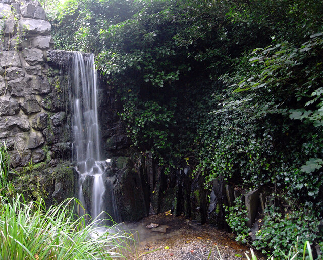
Brow Wood, located in Yorkshire, is a picturesque forest known for its natural beauty and diverse wildlife. Covering an area of approximately 500 acres, Brow Wood is a popular destination for nature enthusiasts, hikers, and bird watchers.
The wood is characterized by its dense tree cover, mainly consisting of oak, beech, and birch trees. These towering trees create a tranquil and serene atmosphere, providing shade during the summer months and displaying vibrant hues in the autumn. The forest floor is carpeted with a variety of wildflowers, adding bursts of color to the landscape.
Brow Wood is home to a wide range of wildlife, making it a haven for animal lovers. Visitors may spot various species of birds, including woodpeckers, owls, and thrushes, as well as small mammals such as squirrels, foxes, and rabbits. The wood also attracts several species of butterflies and insects, adding to its ecological diversity.
Several well-maintained trails wind their way through Brow Wood, offering visitors the opportunity to explore its natural wonders. These paths cater to different levels of fitness and can accommodate both casual strollers and more experienced hikers. Interpretive signs along the trails provide information about the local flora and fauna, enhancing the educational experience.
Overall, Brow Wood in Yorkshire is a remarkable destination for those seeking a connection with nature. Its stunning landscapes, abundant wildlife, and well-designed trails make it an ideal location for outdoor activities and a peaceful retreat from the hustle and bustle of everyday life.
If you have any feedback on the listing, please let us know in the comments section below.
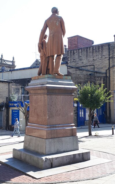
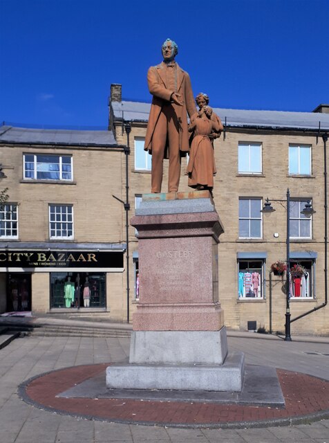
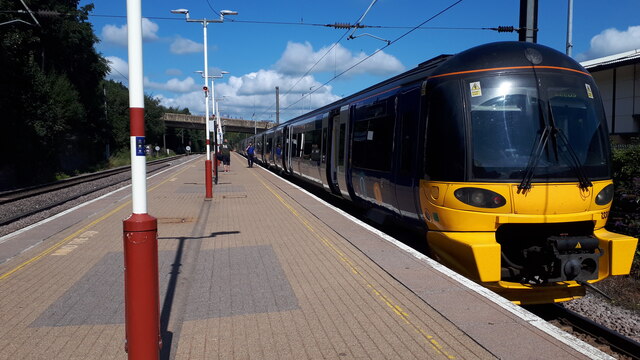
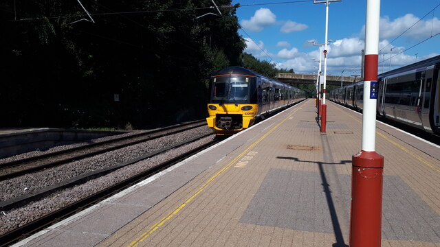
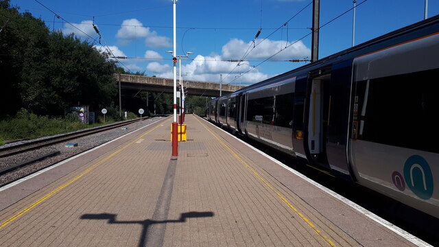
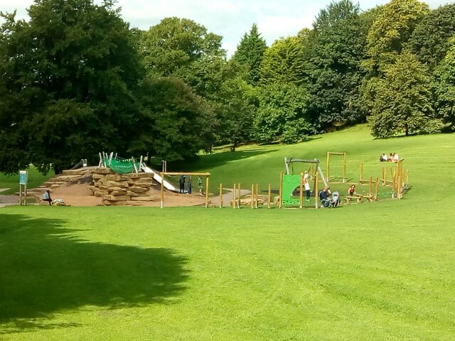
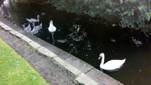
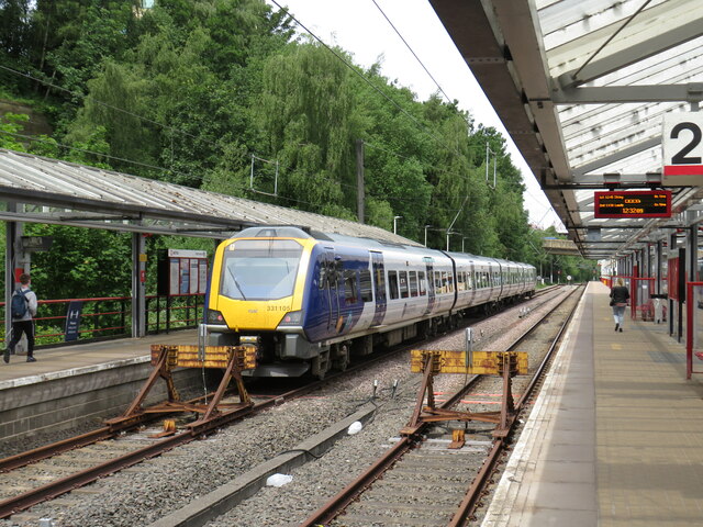
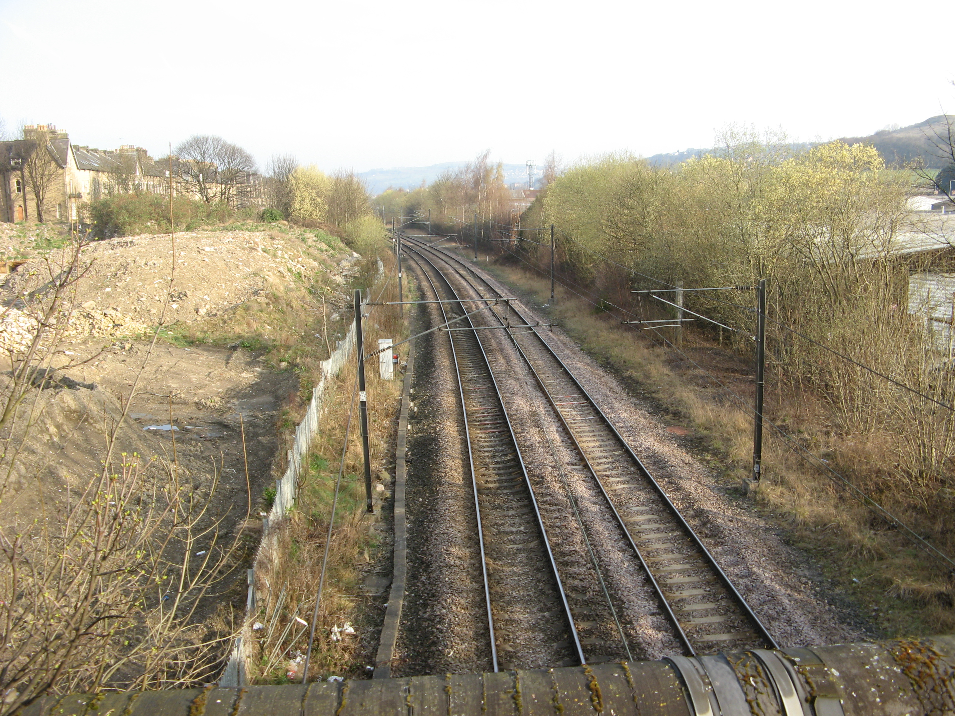
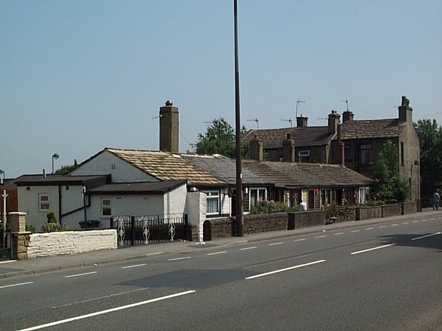
Brow Wood Images
Images are sourced within 2km of 53.813351/-1.7564341 or Grid Reference SE1635. Thanks to Geograph Open Source API. All images are credited.


Brow Wood is located at Grid Ref: SE1635 (Lat: 53.813351, Lng: -1.7564341)
Division: West Riding
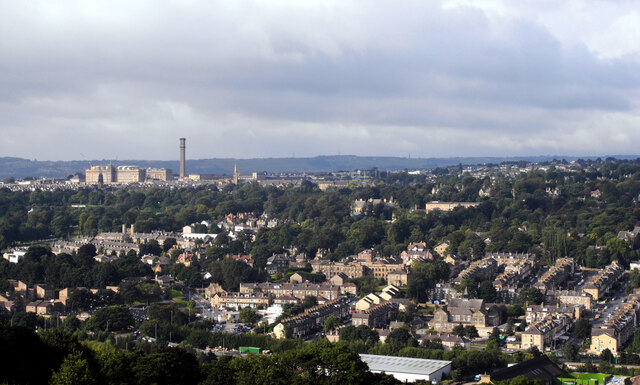
Unitary Authority: Bradford
Police Authority: West Yorkshire
What 3 Words
///popped.curving.sleep. Near Bradford, West Yorkshire
Nearby Locations
Related Wikis

Manningham engine shed
Manningham Engine Shed (also known as Manningham Motive Power Depot) was a railway depot located in the Manningham suburb of Bradford in West Yorkshire...
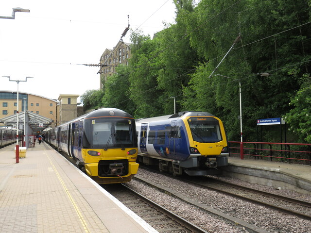
Manningham railway station
Manningham railway station was a railway station in Manningham, near Bradford, West Yorkshire, England between 1868 and 1965. == History == It became the...

Bradford North (UK Parliament constituency)
Bradford North was a borough constituency represented in the House of Commons of the Parliament of the United Kingdom. Until it was abolished for the 2010...
Oasis Academy Lister Park
Oasis Academy Lister Park (formerly The Challenge College) is a mixed secondary school and sixth form located in Bradford, West Yorkshire, England. The...
St Bede's and St Joseph's Catholic College
St Bede's and St Joseph's Catholic College is a coeducational Roman Catholic secondary school and sixth form. It is located over two sites in the City...
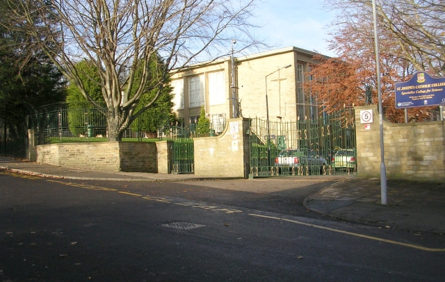
St Joseph's Catholic College, Bradford
St Joseph's Catholic College was a Roman Catholic Girls' school situated in Manningham, close to Bradford city centre in West Yorkshire, England. The school...
Bradford Christian School
Bradford Christian School is a private school situated in Bradford, West Yorkshire, England. It has a pre-school, primary, middle and upper school, and...
A6177 road
The A6177 is a ring road around Bradford in West Yorkshire, England. It is mostly formed from existing roads and save for its southern section is single...
Nearby Amenities
Located within 500m of 53.813351,-1.7564341Have you been to Brow Wood?
Leave your review of Brow Wood below (or comments, questions and feedback).