Low Geltbridge
Settlement in Cumberland Carlisle
England
Low Geltbridge
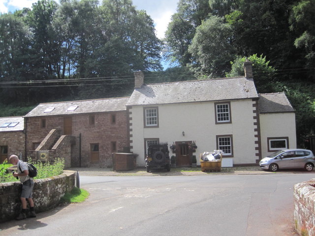
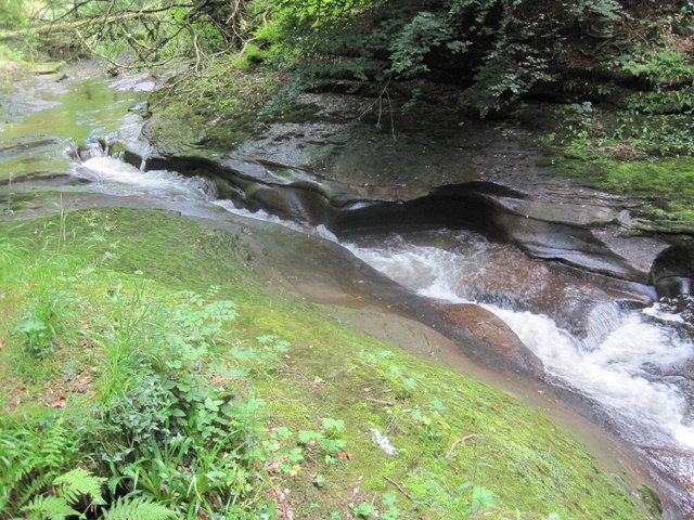
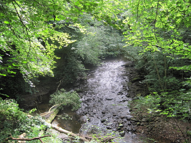
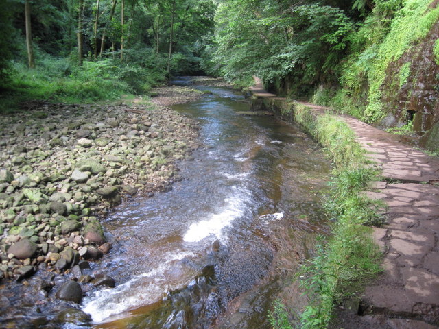
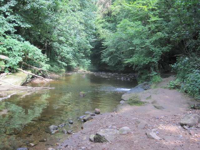
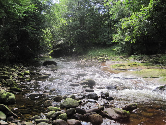
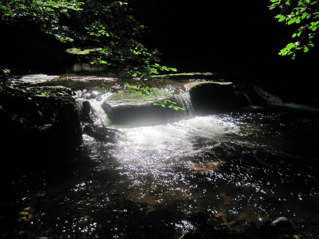
Low Geltbridge is a small village located in the county of Cumberland, in the north-west of England. Situated in the picturesque countryside, it lies approximately 5 miles south-east of the market town of Brampton. The village is nestled on the banks of the River Gelt, which runs through the area, providing a scenic backdrop for its residents.
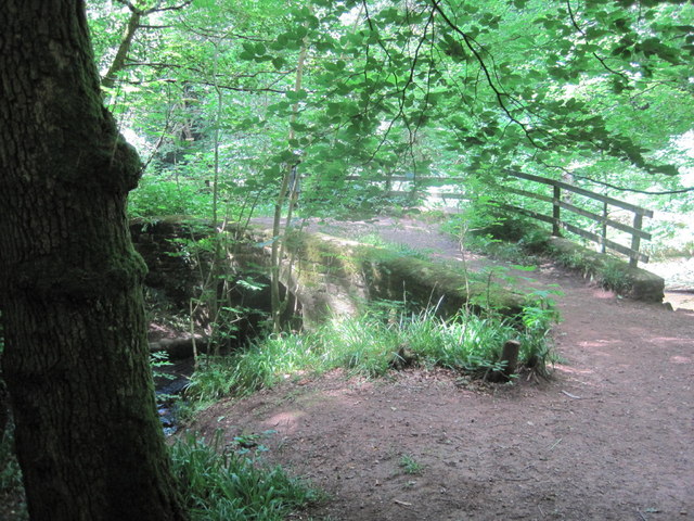
Historically, Low Geltbridge was an important crossing point over the river and played a significant role in the local transportation network. The village takes its name from the Gelt Bridge, a stone bridge that spans the river and connects Low Geltbridge with nearby settlements.
Despite its small size, the village boasts a strong sense of community. The residents of Low Geltbridge are known for their friendly and welcoming nature, creating a warm and inclusive atmosphere. The village has a close-knit community spirit and residents often come together for various events and activities.
Low Geltbridge offers a tranquil and picturesque setting, with beautiful countryside surroundings. The area is popular among nature enthusiasts, hikers, and anglers, as it provides ample opportunities for outdoor activities. The river itself is known for its excellent fishing spots, attracting anglers from far and wide.
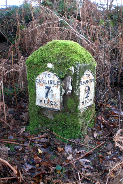
Although lacking in commercial amenities, Low Geltbridge benefits from its proximity to Brampton, where residents can find a wider range of services, such as shops, schools, and medical facilities. The village is well-connected by road, with the A69 providing easy access to nearby towns and cities.
Overall, Low Geltbridge offers a serene and inviting environment for those seeking a peaceful countryside lifestyle. With its rich history, natural beauty, and tight-knit community, the village continues to be a cherished place to call home.
If you have any feedback on the listing, please let us know in the comments section below.
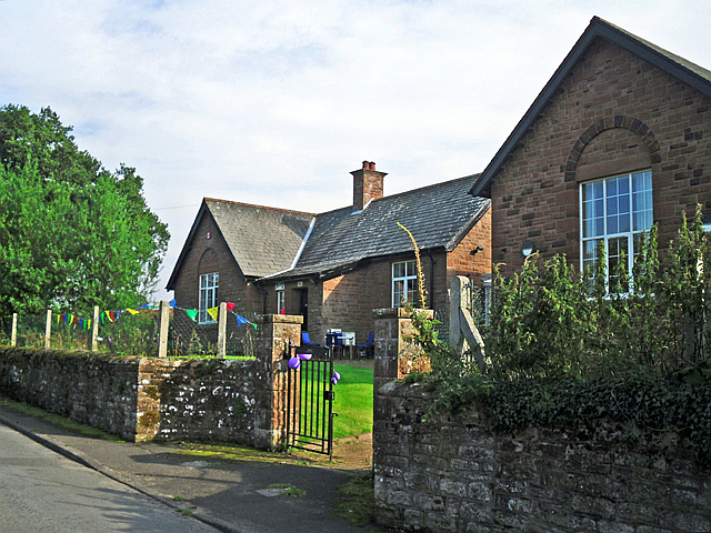
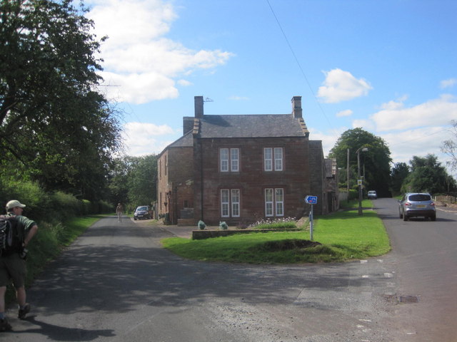
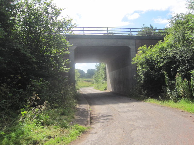
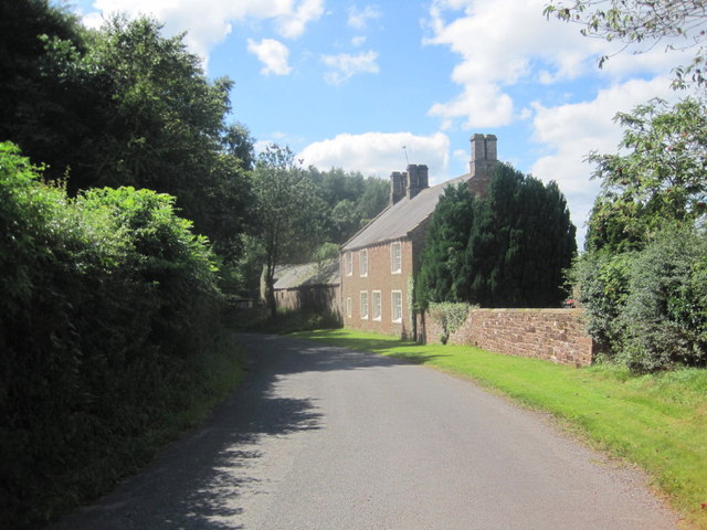
Low Geltbridge Images
Images are sourced within 2km of 54.924661/-2.7509489 or Grid Reference NY5159. Thanks to Geograph Open Source API. All images are credited.


Low Geltbridge is located at Grid Ref: NY5159 (Lat: 54.924661, Lng: -2.7509489)
Administrative County: Cumbria
District: Carlisle
Police Authority: Cumbria
What 3 Words
///twisty.blazers.paler. Near Brampton, Cumbria
Nearby Locations
Related Wikis
Hayton, Carlisle
Hayton is a small village and civil parish in Cumbria, England, roughly 8 miles (13 km) east of Carlisle, and 10 miles (16 km) from the England/Scotland...

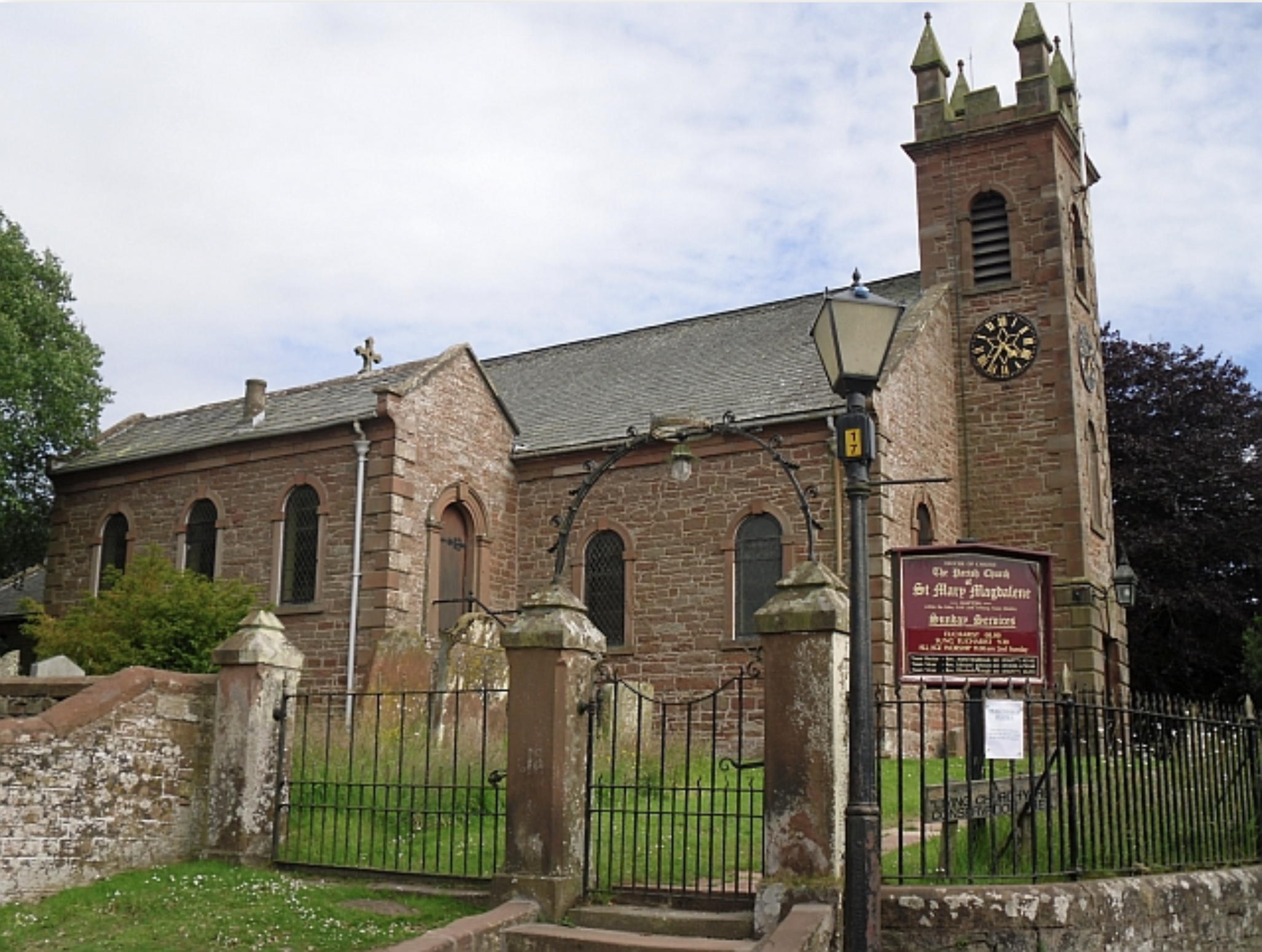
St Martin's Church, Brampton
St Martin's Church is in Front Street, Brampton, Cumbria, England. It is an active Anglican parish church in the deanery of Brampton, the archdeaconry...

Brampton, Carlisle
Brampton is a market town and civil parish in the Cumberland unitary authority of Cumbria, England. It is 9 miles (14 km) east of Carlisle and 2 miles...

Gelt Bridge
The Gelt Bridge or Gelt Viaduct (also known as Middle Gelt Bridge) is a skew arch railway viaduct in the parish of Hayton, east of Carlisle in Cumbria...

William Howard School
The William Howard School is a co-educational secondary academy school on Longtown Road (A6071) in Brampton, Carlisle, Cumbria, England for pupils aged...

Moot Hall, Brampton
The Moot Hall is a municipal building in The Market Place in Brampton, Cumbria, England. The building, which is used as a local tourist information office...
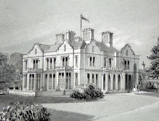
Edmond Castle
Edmond Castle is a nineteenth-century structure north of the village of Hayton, Carlisle, Cumbria in England. The history of Edmond Castle is intertwined...

Brampton Old Church
Brampton Old Church stands about 1 mile (2 km) to the west of the town of Brampton, Cumbria, England. It was originally the parish church of Brampton...
Nearby Amenities
Located within 500m of 54.924661,-2.7509489Have you been to Low Geltbridge?
Leave your review of Low Geltbridge below (or comments, questions and feedback).