Intake Wood

Wood, Forest in Yorkshire Richmondshire

England

Intake Wood

Field barn east of Skelgate Lane Skelgate Lane climbs from the western side of Reeth towards Calver Hill.
Arkengarthdale is beyond the barn with Fremington Edge rising from that valley.
Field barn east of Skelgate Lane Credit: Trevor Littlewood

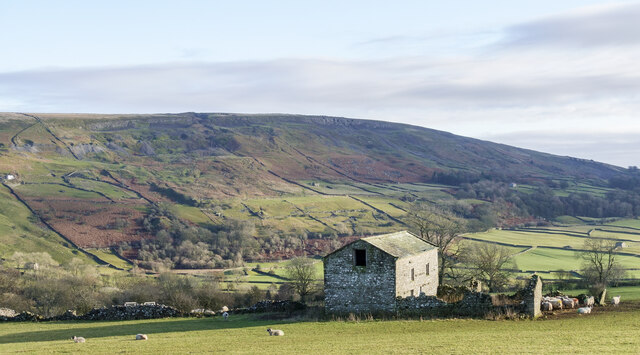
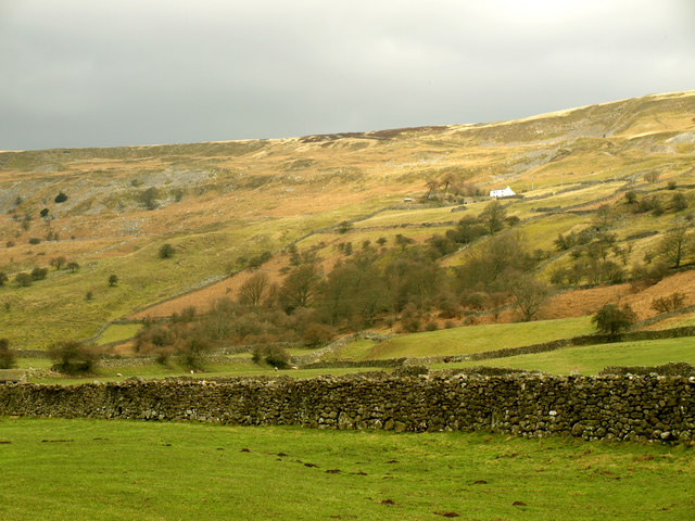
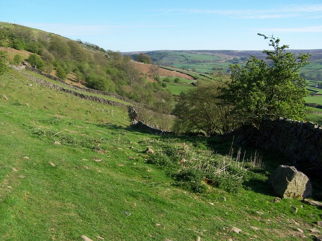
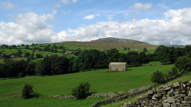
Intake Wood is a picturesque woodland located in the county of Yorkshire, England. It is situated in the northern part of the county, near the town of Hebden Bridge. Covering an area of approximately 100 acres, Intake Wood is a captivating destination for nature lovers and outdoor enthusiasts.

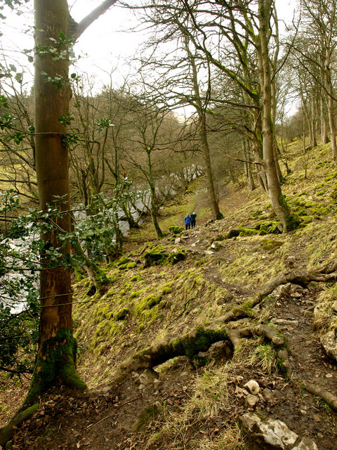
The woodland is predominantly composed of deciduous trees such as oak, beech, and birch, creating a vibrant and diverse ecosystem. The dense canopy provides shelter for a wide range of wildlife, including squirrels, rabbits, and various bird species. Visitors to Intake Wood can often spot these creatures as they explore the well-maintained walking trails that meander through the forest.

The woodland is also home to a small stream that meanders through the trees, adding to the tranquil ambiance of the area. The sound of gently flowing water creates a soothing and peaceful atmosphere, making Intake Wood an ideal place for relaxation and contemplation.

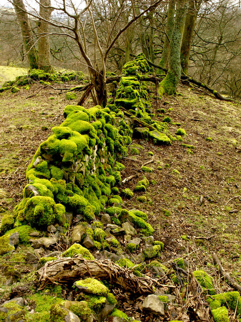
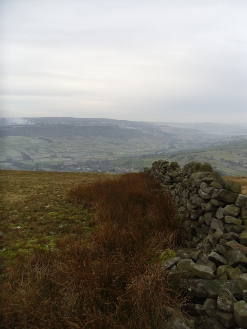
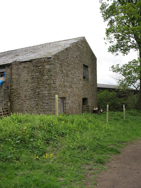
For those interested in history, Intake Wood has a rich past. It is believed to have been used as a hunting ground by the local nobility in medieval times. Today, remnants of old stone walls and boundary markers serve as reminders of the area's historical significance.

Intake Wood is open to the public throughout the year, offering a beautiful escape from the hustle and bustle of everyday life. Whether it's a leisurely walk, bird watching, or simply enjoying the serene surroundings, Intake Wood provides a delightful experience for visitors of all ages.

If you have any feedback on the listing, please let us know in the comments section below.
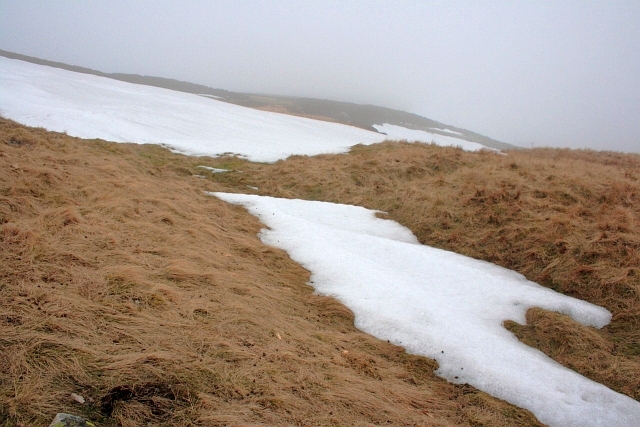
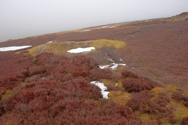
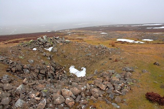
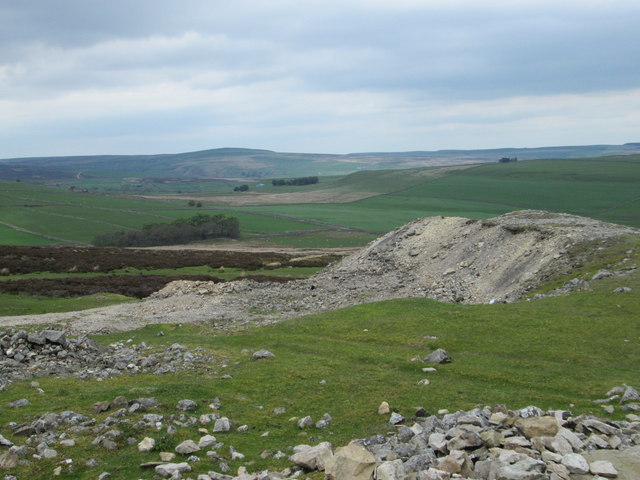
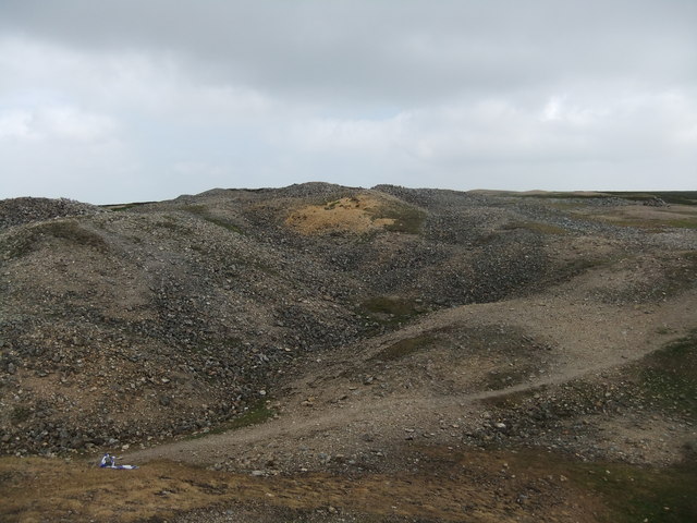
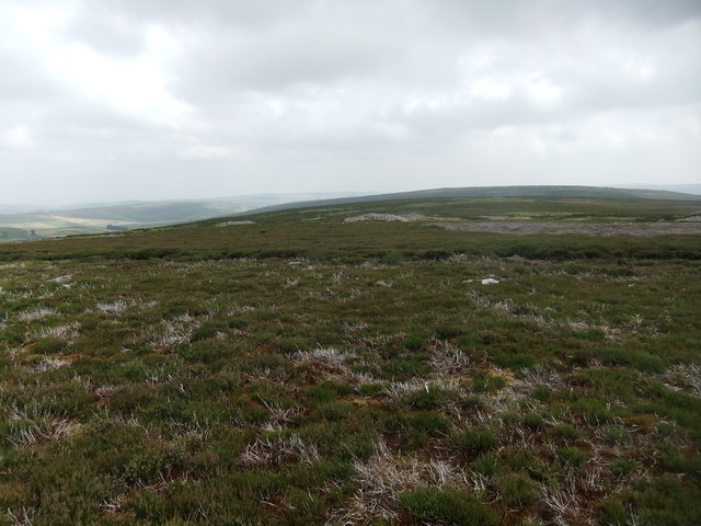
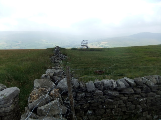
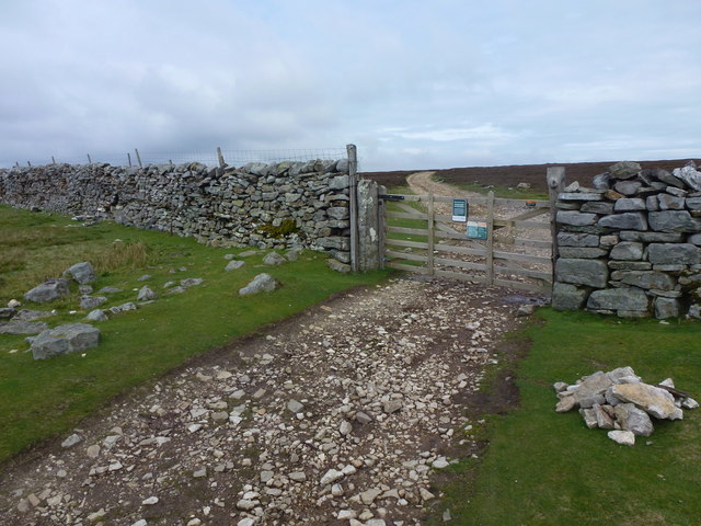
Intake Wood Images

Images are sourced within 2km of 54.388326/-1.9259132 or Grid Reference SE0499. Thanks to Geograph Open Source API. All images are credited.

Field barn east of Skelgate Lane Skelgate Lane climbs from the western side of Reeth towards Calver Hill.
Arkengarthdale is beyond the barn with Fremington Edge rising from that valley.
Field barn east of Skelgate Lane
Skelgate Lane climbs from the western side of Reeth towards Calver Hill. Arkengarthdale is beyond the barn with Fremington Edge rising from that valley.
Bridleway next to Arkle Beck
White House from east of Reeth
Mossy Wall
Mossy Wall
Footpath below Fremington Edge
Arkengarthdale from near Cuckoo Hill The view is across the nearby cultivated fields of the east side of Arkengarthdale; the hill rising distantly is Calver Hill.
Arkengarthdale from near Cuckoo Hill
The view is across the nearby cultivated fields of the east side of Arkengarthdale; the hill rising distantly is Calver Hill.
Footpath on track at Fremington Edge
Old wall on Fremington edge A stiff walk from Reeth.
Old wall on Fremington edge
A stiff walk from Reeth.
Cairn on Marrick Moor High above Swaledale.
Cairn on Marrick Moor
High above Swaledale.
In the Mist on Fremington Edge
Copperthwaite Allotment Disused shafts and spoil tips resulting from the lead mining activities on Marrick Moor.
Copperthwaite Allotment
Disused shafts and spoil tips resulting from the lead mining activities on Marrick Moor.
Copperthwaite Allotment Disused shafts and spoil tips resulting from the lead mining activities on Marrick Moor.
Copperthwaite Allotment
Disused shafts and spoil tips resulting from the lead mining activities on Marrick Moor.
Disused shafts and spoil tips Resulting from the lead mining activities on Marrick Moor.
Disused shafts and spoil tips
Resulting from the lead mining activities on Marrick Moor.
Marrick Moor Looking NE across Marrick Moor.
Marrick Moor
Looking NE across Marrick Moor.
Spoilheap moonscape, Copperthwaite Allotment
Marrick Moor
Marrick Moor
Radio mast remains, Fremington Edge
Wall and gate above Fremington Edge
Show me another place!

Intake Wood is located at Grid Ref: SE0499 (Lat: 54.388326, Lng: -1.9259132)

Division: North Riding

Administrative County: North Yorkshire

District: Richmondshire

Police Authority: North Yorkshire

What 3 Words

///blemishes.deprive.rental. Near Leyburn, North Yorkshire

Related Wikis

Fremington, North Yorkshire

Fremington is a hamlet in the Yorkshire Dales in North Yorkshire, England. The hamlet is almost joined to Reeth and Grinton. It is split into Low Fremington...

Swaledale Festival

The Swaledale Festival takes place over two weeks in May and June each year, in churches, chapels, castles, ‘Literary Institutes’, pubs, fields and village...

Grinton

Grinton is a small village and civil parish in the Yorkshire Dales, North Yorkshire, England. Close to Reeth and Fremington, it lies 9 miles (15 km) west...
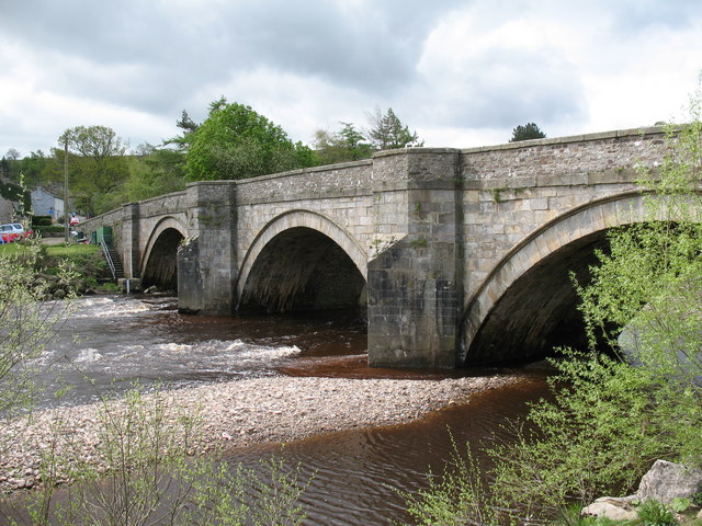
Arkle Beck

Arkle Beck is the stream running through the valley of Arkengarthdale in the Yorkshire Dales, England. It is a tributary of the River Swale, which it joins...

Swaledale Museum

Swaledale Museum is a local museum in the village of Reeth, near Richmond in North Yorkshire, England. It covers rural history including life and work...

Reeth

Reeth is a village 11 miles (18 km) west of Richmond in North Yorkshire, England, in the civil parish of Reeth, Fremington and Healaugh. Historically part...

Reeth, Fremington and Healaugh

Reeth, Fremington and Healaugh is a civil parish in North Yorkshire, England. It consists of the three villages of Reeth, Fremington and Healaugh. As of...
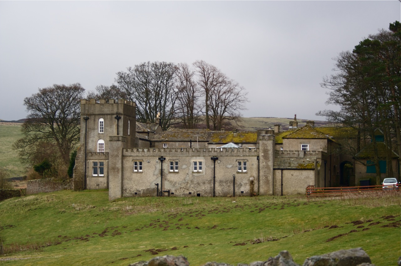
Grinton Lodge

Grinton Lodge is a 19th-century former shooting lodge that has been a youth hostel since 1948. A Grade II listed building, it is situated above the village...

Nearby Amenities

Located within 500m of 54.388326,-1.9259132
Bench
Lat/Long: 54.3916355/-1.9306376
Dales Bike Centre
Addr Street: B6270
Phone: +44 1748 884 908
Shop: bicycle
Website: https://www.dalesbikecentre.co.uk/
Lat/Long: 54.3848097/-1.9302968
Cafe
Dales Bike Hostel
Shop: bicycle
Tourism: hostel
Lat/Long: 54.3848522/-1.9305671
Fremington
Place: hamlet
Source: OS_OpenData_StreetView
Wikidata: Q5501524
Lat/Long: 54.3856499/-1.9302838
The Barn Home Farm
Tourism: guest_house
Lat/Long: 54.3852402/-1.929931
Passing Place
Lat/Long: 54.3844282/-1.9234604
Power: pole
Lat/Long: 54.3879065/-1.9291299
Power: pole
Lat/Long: 54.3880807/-1.9298179
Power: pole
Lat/Long: 54.3868889/-1.9251059
Power: pole
Lat/Long: 54.3861963/-1.9203859
Power: pole
Lat/Long: 54.3863462/-1.9220274
Power: pole
Lat/Long: 54.3865087/-1.9236086
Power: pole
Lat/Long: 54.38727/-1.9266261
Power: pole
Lat/Long: 54.38768/-1.9282421
Power: pole
Lat/Long: 54.3882416/-1.9304657
Power: pole
Lat/Long: 54.3884188/-1.931159
Power: pole
Lat/Long: 54.3887554/-1.9325001
Power: pole
Lat/Long: 54.3897212/-1.9284837
Power: pole
Lat/Long: 54.3889113/-1.9301592
Power: pole
Lat/Long: 54.3904225/-1.9282749
Power: pole
Lat/Long: 54.3913533/-1.9306701
Power: pole
Lat/Long: 54.3908368/-1.929341
The data included in this document is from www.openstreetmap.org. The data is made available under ODbL.

Have you been to Intake Wood?

Leave your review of Intake Wood below (or comments, questions and feedback).