High Fremington
Settlement in Yorkshire Richmondshire
England
High Fremington
High Fremington is a small village located in the Yorkshire Dales, North Yorkshire, England. Situated approximately 3 miles southwest of the market town of Reeth, it lies within the Richmondshire district. The village is nestled in a picturesque valley surrounded by rolling hills and meandering streams, offering stunning views of the Yorkshire countryside.
High Fremington has a rich history, with evidence of human settlement dating back to the Bronze Age. The village is known for its charming stone-built houses, many of which date back to the 17th and 18th centuries, adding to its quaint and traditional atmosphere.
Although small in size, High Fremington offers a range of amenities for residents and visitors alike. The village boasts a well-regarded primary school, a local pub serving traditional Yorkshire fare, and a post office. For outdoor enthusiasts, the area provides ample opportunities for walking, hiking, and cycling, with numerous scenic trails and paths to explore.
The village is also conveniently located near several popular tourist attractions. The historic town of Richmond, with its Norman castle and Georgian architecture, is within easy reach, as is the charming village of Reeth, known for its weekly market and annual Swaledale Festival.
Overall, High Fremington is a picturesque and idyllic village, perfect for those seeking a peaceful retreat in the heart of the Yorkshire Dales.
If you have any feedback on the listing, please let us know in the comments section below.
High Fremington Images
Images are sourced within 2km of 54.386674/-1.9286878 or Grid Reference SE0499. Thanks to Geograph Open Source API. All images are credited.

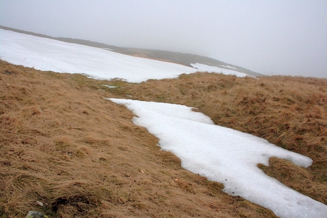

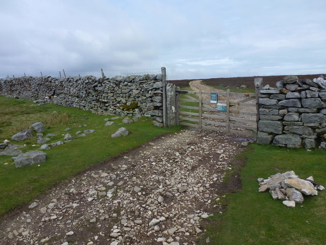

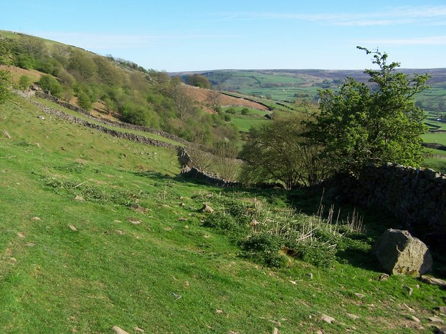
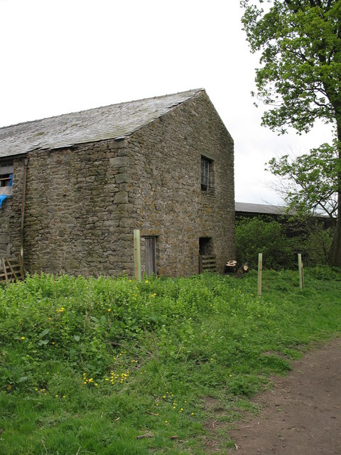
![A circular walk from Reeth via Fremington Edge [15] A prominent field barn alongside the path.
From Reeth the route climbs very steeply to run along rocky Fremington Edge on Marrick Moor. A gentler descent in the direction of Marrick village follows before turning right towards Grinton. Then along the banks of the River Swale and Arkle Beck to return to Reeth. About 4¾ miles.](https://s0.geograph.org.uk/geophotos/07/28/13/7281300_758b388a.jpg)
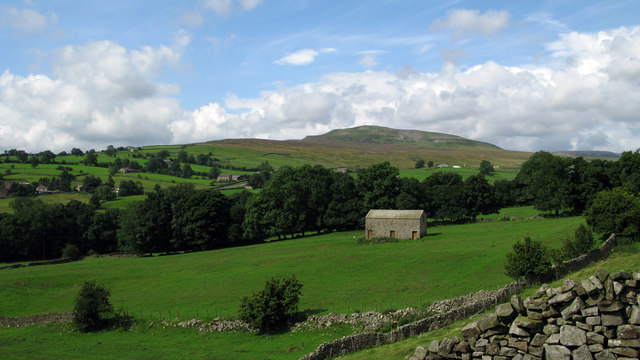
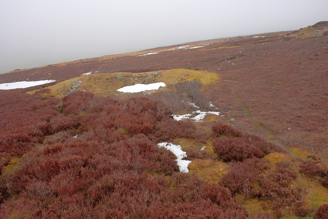
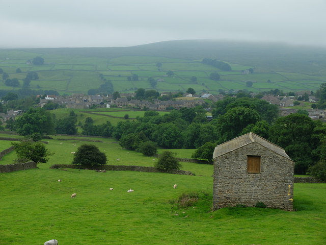
![A circular walk from Reeth via Fremington Edge [16] A look back along the path, past the bridleway and past the field barn seen at <a href="https://www.geograph.org.uk/photo/7281300">NZ0400 : A circular walk from Reeth via Fremington Edge [15]</a>. Beyond is the village of Reeth and in the distance Harkerside Moor.
From Reeth the route climbs very steeply to run along rocky Fremington Edge on Marrick Moor. A gentler descent in the direction of Marrick village follows before turning right towards Grinton. Then along the banks of the River Swale and Arkle Beck to return to Reeth. About 4¾ miles.](https://s1.geograph.org.uk/geophotos/07/28/13/7281301_f394aa73.jpg)
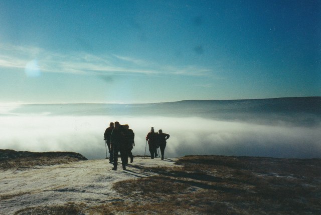
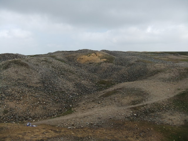
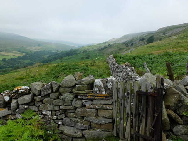
![A circular walk from Reeth via Fremington Edge [17] Through some rough grazing, the path climbs steeply.
From Reeth the route climbs very steeply to run along rocky Fremington Edge on Marrick Moor. A gentler descent in the direction of Marrick village follows before turning right towards Grinton. Then along the banks of the River Swale and Arkle Beck to return to Reeth. About 4¾ miles.](https://s2.geograph.org.uk/geophotos/07/28/13/7281302_43ad8c8a.jpg)
High Fremington is located at Grid Ref: SE0499 (Lat: 54.386674, Lng: -1.9286878)
Division: North Riding
Administrative County: North Yorkshire
District: Richmondshire
Police Authority: North Yorkshire
What 3 Words
///visitor.lanes.intruded. Near Leyburn, North Yorkshire
Nearby Locations
Related Wikis
Fremington, North Yorkshire
Fremington is a hamlet in the Yorkshire Dales in North Yorkshire, England. The hamlet is almost joined to Reeth and Grinton. It is split into Low Fremington...

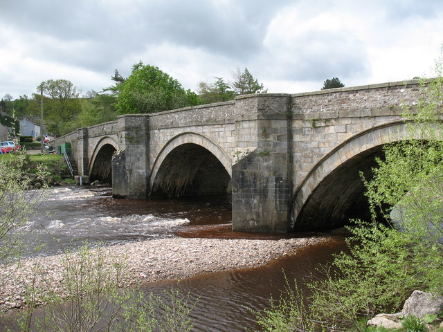
Arkle Beck
Arkle Beck is the stream running through the valley of Arkengarthdale in the Yorkshire Dales, England. It is a tributary of the River Swale, which it joins...

Swaledale Festival
The Swaledale Festival takes place over two weeks in May and June each year, in churches, chapels, castles, ‘Literary Institutes’, pubs, fields and village...
Grinton
Grinton is a small village and civil parish in the Yorkshire Dales, North Yorkshire, England. Close to Reeth and Fremington, it lies 9 miles (15 km) west...
Nearby Amenities
Located within 500m of 54.386674,-1.9286878Have you been to High Fremington?
Leave your review of High Fremington below (or comments, questions and feedback).