Longley Wood
Wood, Forest in Yorkshire
England
Longley Wood
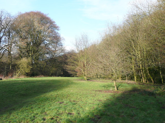
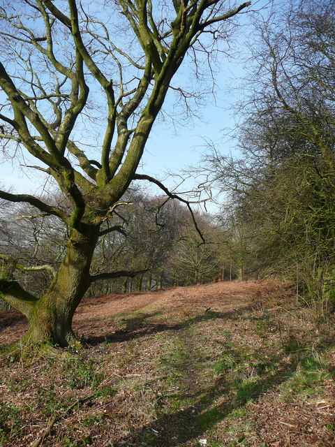
Longley Wood, located in Yorkshire, is a picturesque forest that spans over a vast area. Its natural beauty and tranquil atmosphere make it a popular destination for nature lovers and outdoor enthusiasts. The wood is known for its dense tree cover, consisting mainly of oak, beech, and ash trees, which create a vibrant and lush environment.
The wood is home to a diverse range of wildlife, including various bird species, mammals, and insects. Visitors can often spot deer, foxes, and squirrels roaming freely in their natural habitat. The abundance of flora and fauna adds to the enchanting charm of the wood.
Longley Wood offers a network of well-maintained trails, making it ideal for hiking and walking. These trails wind through the forest, allowing visitors to explore its hidden gems and discover breathtaking views. The wood also features picnic areas, providing a perfect spot for families and friends to relax and enjoy a meal amidst nature.
With its rich history, Longley Wood has been a part of the Yorkshire landscape for centuries. It has witnessed the passage of time and remains a symbol of the region's natural heritage. The wood has also been a source of timber, providing resources for the local community.
Overall, Longley Wood offers a peaceful retreat from the hustle and bustle of city life. Its serenity, coupled with its scenic beauty and abundant wildlife, makes it a must-visit destination for nature enthusiasts and those seeking solace in the great outdoors.
If you have any feedback on the listing, please let us know in the comments section below.
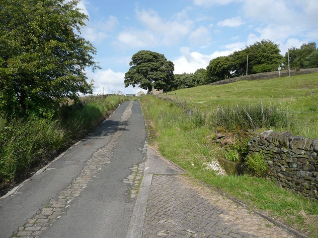
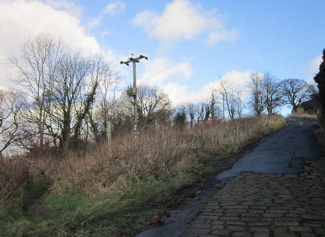
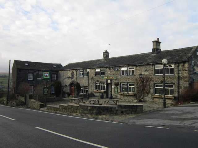
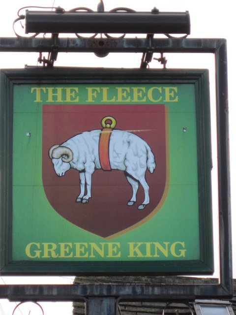
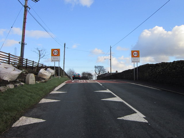
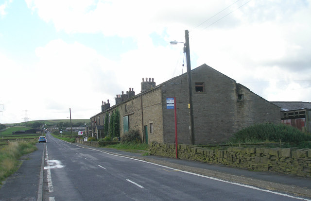
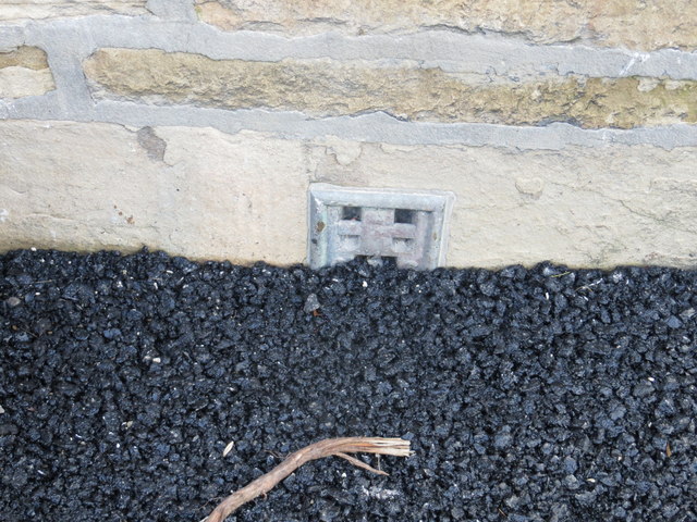
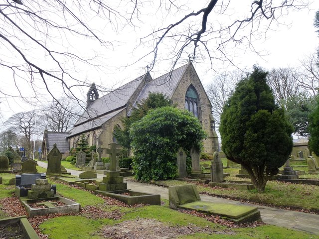
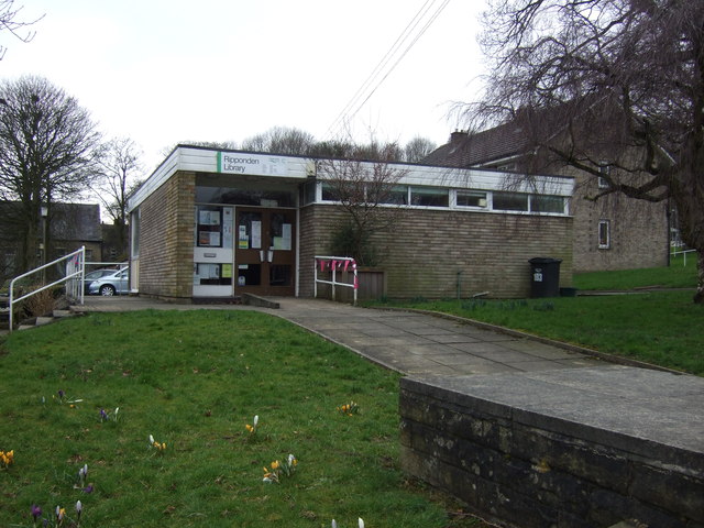
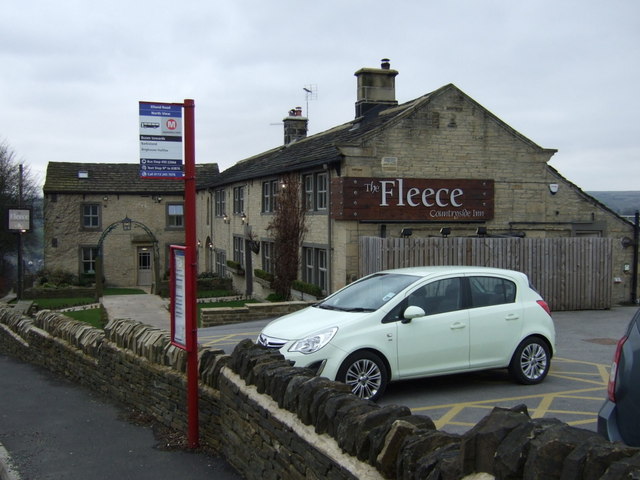
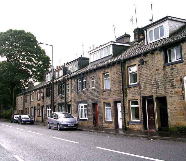
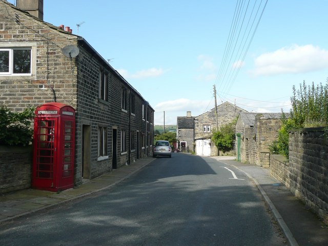
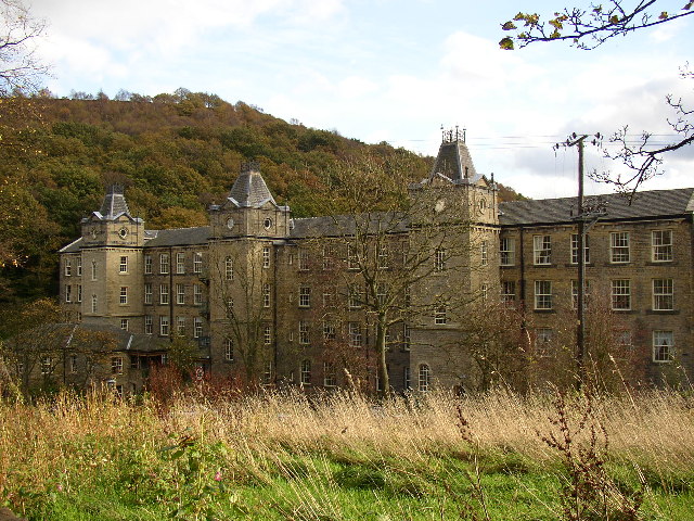
Longley Wood Images
Images are sourced within 2km of 53.69124/-1.9271532 or Grid Reference SE0421. Thanks to Geograph Open Source API. All images are credited.


Longley Wood is located at Grid Ref: SE0421 (Lat: 53.69124, Lng: -1.9271532)
Division: West Riding
Unitary Authority: Calderdale
Police Authority: West Yorkshire
What 3 Words
///stared.conducted.audit. Near Barkisland, West Yorkshire
Nearby Locations
Related Wikis

Triangle railway station
Triangle railway station was a railway station near Triangle on the Rishworth branch built by the Lancashire & Yorkshire Railway. When open, services ran...
Triangle, West Yorkshire
Triangle is a village in the Calderdale borough of West Yorkshire, England. It is located in the valley of the River Ryburn, on the A58 road over the South...
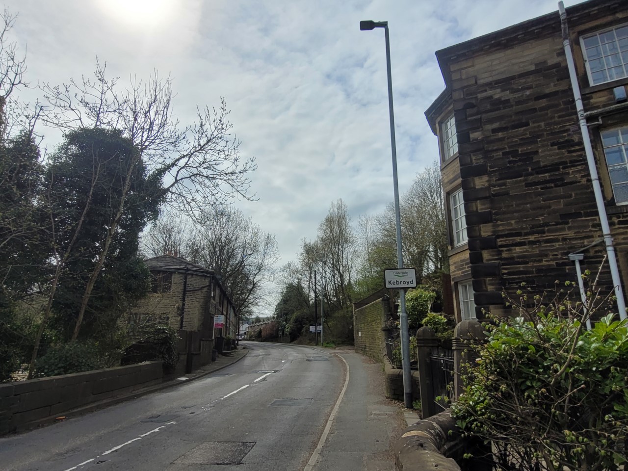
Kebroyd
Kebroyd is a small hamlet in the civil parish of Ripponden, in the Calderdale district, in West Yorkshire, England, within the valley of the River Ryburn...

Ryburn Valley High School
Ryburn Valley High School is a secondary school and sixth form located in the town of Sowerby Bridge, West Yorkshire, England. Originally built in the...

Watson's Crossing Halt railway station
Watson's Crossing Halt was a halt on the Rishworth branch, in West Yorkshire, England built by the Lancashire & Yorkshire Railway. It was located just...
Soyland
Soyland is a village in Calderdale, West Yorkshire, England. It is just north of Ripponden off the A58 road and is 5 miles (8 km) south west of Halifax...
Barkisland
Barkisland () is a village in Calderdale, West Yorkshire, England. Historically part of the West Riding of Yorkshire, it is 1 mile (1.6 km) east of Ripponden...

Sowerby (UK Parliament constituency)
Sowerby () was a county constituency centred on the village of Sowerby in Calderdale, West Yorkshire. It returned one Member of Parliament (MP) to the...
Nearby Amenities
Located within 500m of 53.69124,-1.9271532Have you been to Longley Wood?
Leave your review of Longley Wood below (or comments, questions and feedback).