Kebroyd Wood

Wood, Forest in Yorkshire

England

Kebroyd Wood

Royd Lane, Ripponden I suspect that this is the oldest route out of Ripponden towards Rochdale, as it is a continuation of the cobbled Priest Lane, which crosses the old bridge. By the late 18C, as shown on Jeffreys's map of Yorkshire, Elland Road and the new bridge had been built and the 'main road' to Rochdale was up Ripponden Old Lane.
Royd Lane, Ripponden Credit: Humphrey Bolton

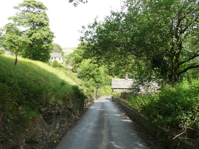
Kebroyd Wood is a picturesque woodland located in the county of Yorkshire, England. Situated near the village of Cragg Vale, the wood spans over an area of approximately 50 acres. Its idyllic setting makes it a popular destination for nature lovers, hikers, and wildlife enthusiasts.

The wood is predominantly composed of native deciduous trees, including oak, beech, birch, and ash, which create a diverse and vibrant ecosystem. The dense canopy provides a sheltered habitat for a wide variety of flora and fauna, making it a haven for biodiversity.

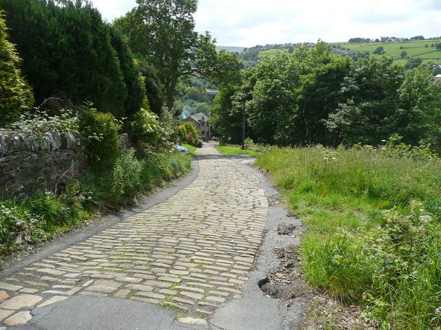
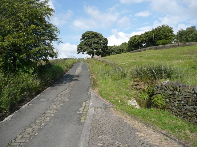
Tranquil walking trails wind through the wood, allowing visitors to explore its beauty at their own pace. The paths are well-maintained, making it accessible for people of all ages and abilities. Along the way, one can discover enchanting wildflowers, moss-covered rocks, and the occasional glimpse of wildlife such as deer, squirrels, and various bird species.

Kebroyd Wood is particularly enchanting during the spring when the forest floor becomes a carpet of bluebells, creating a breathtaking sight for visitors. Autumn also brings a stunning display of vibrant colors as the leaves change, providing a visual spectacle that attracts photographers and nature enthusiasts.

The wood is managed by local conservation groups, ensuring its preservation for future generations. They organize regular events and educational programs to raise awareness about the importance of protecting and appreciating natural habitats like Kebroyd Wood.

Overall, Kebroyd Wood offers a serene and captivating escape from the hustle and bustle of everyday life, inviting visitors to immerse themselves in the beauty of nature.

If you have any feedback on the listing, please let us know in the comments section below.

Kebroyd Wood Images

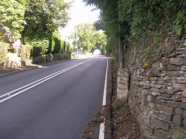
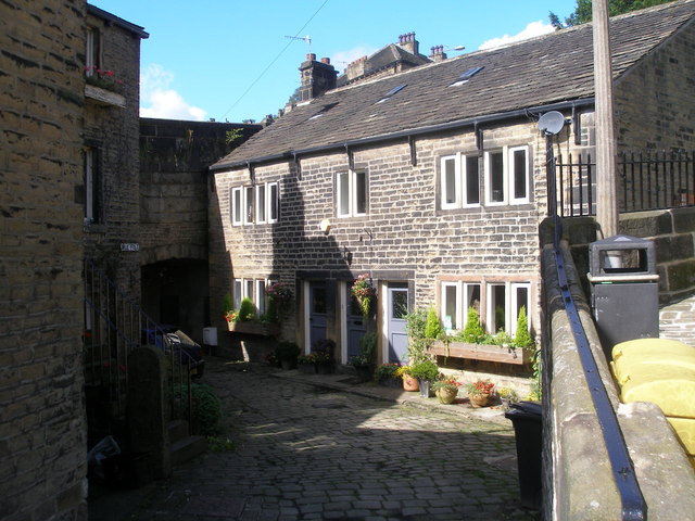
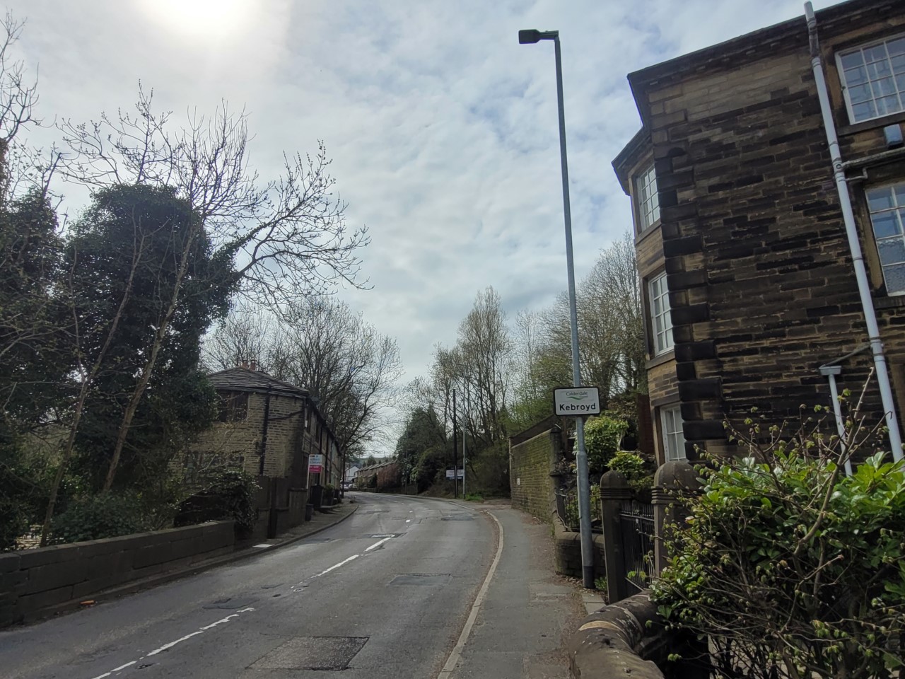
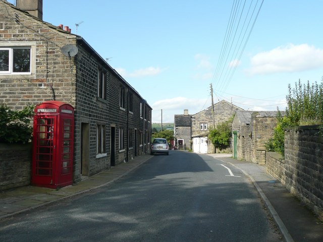
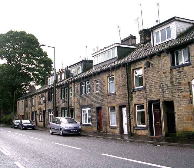
Images are sourced within 2km of 53.687454/-1.9406967 or Grid Reference SE0421. Thanks to Geograph Open Source API. All images are credited.

Royd Lane, Ripponden I suspect that this is the oldest route out of Ripponden towards Rochdale, as it is a continuation of the cobbled Priest Lane, which crosses the old bridge. By the late 18C, as shown on Jeffreys's map of Yorkshire, Elland Road and the new bridge had been built and the 'main road' to Rochdale was up Ripponden Old Lane.
Royd Lane, Ripponden
I suspect that this is the oldest route out of Ripponden towards Rochdale, as it is a continuation of the cobbled Priest Lane, which crosses the old bridge. By the late 18C, as shown on Jeffreys's map of Yorkshire, Elland Road and the new bridge had been built and the 'main road' to Rochdale was up Ripponden Old Lane.
Old Bank, Barkisland The old road into Ripponden, part of an important ancient route from Elland to Rochdale. Superseded c. 1772 when the present main road was constructed by a turnpike trust.
Old Bank, Barkisland
The old road into Ripponden, part of an important ancient route from Elland to Rochdale. Superseded c. 1772 when the present main road was constructed by a turnpike trust.
Ripponden Old Road joins Spring Street
Ripponden Old Road towards Ripponden
Back Lane, Ripponden
Priest Lane, Ripponden
The Parish Church of St Bartholomew Built 1868 in EE style with spire [Pevsner, 1967]
The Parish Church of St Bartholomew
Built 1868 in EE style with spire [Pevsner, 1967]
Climbing up Ripponden Old Bank (road)
The Fleece, Ripponden
Entering Barkisland on Staindale Road
Rivet benchmark on the milestone on Ripponden New Bank
Cut benchmark on the milestone in the centre of Ripponden
Cross Villa and Rishworth Road
Ripponden New Bank
Ripponden New Bank
Mill Fold
Mill Fold
Ordnance Survey Flush Bracket 845 The remains of this bracket can be found on the wall of the Fleece Inn.
For more detail see : <span class="nowrap"><a title="http://www.bench-marks.org.uk/bm9850" rel="nofollow ugc noopener" href="http://www.bench-marks.org.uk/bm9850">Link</a><img style="margin-left:2px;" alt="External link" title="External link - shift click to open in new window" src="https://s1.geograph.org.uk/img/external.png" width="10" height="10"/></span>
Ordnance Survey Flush Bracket 845
The remains of this bracket can be found on the wall of the Fleece Inn. For more detail see : LinkExternal link
Show me another place!

Kebroyd Wood is located at Grid Ref: SE0421 (Lat: 53.687454, Lng: -1.9406967)

Division: West Riding

Unitary Authority: Calderdale

Police Authority: West Yorkshire

What 3 Words

///spins.squabbles.shoulders. Near Ripponden, West Yorkshire

Related Wikis

Kebroyd

Kebroyd is a small hamlet in the civil parish of Ripponden, in the Calderdale district, in West Yorkshire, England, within the valley of the River Ryburn...

Soyland

Soyland is a village in the civil parish of Ripponden, in Calderdale, West Yorkshire, England. It is just north of Ripponden off the A58 road and is 5...

Triangle, West Yorkshire

Triangle is a village in the Calderdale borough of West Yorkshire, England. It is located in the valley of the River Ryburn, on the A58 road over the South...

Triangle railway station

Triangle railway station was a railway station near Triangle on the Rishworth branch built by the Lancashire & Yorkshire Railway. When open, services ran...

Nearby Amenities

Located within 500m of 53.687454,-1.9406967
Direction: both
Surface: sett
Traffic Calming: bump
Lat/Long: 53.689615/-1.9460724
Direction: both
Surface: sett
Traffic Calming: bump
Lat/Long: 53.6902476/-1.9442756
Direction: both
Surface: sett
Traffic Calming: bump
Lat/Long: 53.690963/-1.9423547
Post Box
Ref: HX6 76
Lat/Long: 53.6906988/-1.9372934
Bus Stop
Rochdale Road Stubbing Lane
Local Ref: 45020971
Naptan AtcoCode: 450020971
Naptan Bearing: S
Naptan CommonName: Rochdale Road Stubbing Lane
Naptan Crossing: Stubbing Lane
Naptan Indicator: Stop 45020971
Naptan Landmark: Adj Thorpe House
Naptan PlusbusZoneRef: LEEDS
Naptan ShortCommonName: Stubbing Lane
Naptan Street: Rochdale Road
Naptan Verified: no
Source: naptan_import
Lat/Long: 53.6901925/-1.9347319
Bus Stop
Halifax Road
Local Ref: 45020972
Naptan AtcoCode: 450020972
Naptan Bearing: N
Naptan CommonName: Halifax Road
Naptan Crossing: Nr-At Kebroyd Lane
Naptan Indicator: Stop 45020972
Naptan Landmark: Denton Bridge
Naptan PlusbusZoneRef: LEEDS
Naptan ShortCommonName: Kebroyd Lane
Naptan Street: Halifax Road
Naptan Verified: no
Source: naptan_import
Lat/Long: 53.6869931/-1.9355091
Bus Stop
Halifax Road Kebroyd
Local Ref: 45020973
Naptan AtcoCode: 450020973
Naptan Bearing: S
Naptan CommonName: Halifax Road Kebroyd
Naptan Crossing: Kebroyd Lane
Naptan Indicator: Stop 45020973
Naptan Landmark: Denton Bridge
Naptan PlusbusZoneRef: LEEDS
Naptan ShortCommonName: Kebroyd Lane
Naptan Street: Halifax Road
Naptan Verified: no
Source: naptan_import
Lat/Long: 53.6865975/-1.9352372
Bus Stop
Mill Bank Road
Local Ref: 45021321
Naptan AtcoCode: 450021321
Naptan Bearing: NE
Naptan CommonName: Mill Bank Road
Naptan Crossing: Nr-Opp Dean Lane
Naptan Indicator: Stop 45021321
Naptan Landmark: Upper Deer Play Farm
Naptan PlusbusZoneRef: LEEDS
Naptan ShortCommonName: Dean Lane
Naptan Street: Mill Bank Road
Naptan Verified: no
Source: naptan_import
Lat/Long: 53.691113/-1.9419086
Bus Stop
Mill Bank Road
Bus: yes
Local Ref: 45021322
Naptan AtcoCode: 450021322
Naptan Bearing: NE
Naptan CommonName: Mill Bank Road
Naptan Crossing: Lower Mill Bank Road
Naptan Indicator: Stop 45021322
Naptan Landmark: Rawson Farm
Naptan PlusbusZoneRef: LEEDS
Naptan ShortCommonName: Lower Mill Bank Rd
Naptan Street: Mill Bank Road
Naptan Verified: no
Public Transport: platform
Source: naptan_import
Lat/Long: 53.6897845/-1.9456206
Bus Stop
Birks Lane
Bus: yes
Local Ref: 45021323
Naptan AtcoCode: 450021323
Naptan Bearing: S
Naptan CommonName: Birks Lane
Naptan Crossing: Birks Lane
Naptan Indicator: Stop 45021323
Naptan Landmark: St Marys CE Junior & Infant School
Naptan PlusbusZoneRef: LEEDS
Naptan ShortCommonName: Mill Bank Road
Naptan Street: Mill Bank Road
Naptan Verified: no
Public Transport: platform
Source: naptan_import
Lat/Long: 53.6891651/-1.9473931
Mill Bank Road Upper Deer Play Farm
Local Ref: 45051077
Naptan AtcoCode: 450051077
Naptan Bearing: SW
Naptan BusStopType: CUS
Naptan CommonName: Mill Bank Road Upper Deer Play Farm
Naptan Indicator: Stop 45051077
Naptan PlusbusZoneRef: LEEDS
Naptan ShortCommonName: Upper Deer Play
Naptan Street: Mill Bank Road
Naptan Verified: no
Source: naptan_import
Lat/Long: 53.6910501/-1.9418482
Mill Bank Road Lower Mill Bank Road
Local Ref: 45051078
Naptan AtcoCode: 450051078
Naptan Bearing: SW
Naptan BusStopType: CUS
Naptan CommonName: Mill Bank Road Lower Mill Bank Road
Naptan Indicator: Stop 45051078
Naptan PlusbusZoneRef: LEEDS
Naptan ShortCommonName: Lower Mill Bank Rd
Naptan Street: Mill Bank Road
Naptan Verified: no
Source: naptan_import
Lat/Long: 53.6897395/-1.9455903
Bus Stop
Mill Bank
Bus: yes
Local Ref: 45051079
Naptan AtcoCode: 450051079
Naptan Bearing: N
Naptan BusStopType: CUS
Naptan CommonName: Mill Bank
Naptan Indicator: Stop 45051079
Naptan PlusbusZoneRef: LEEDS
Naptan ShortCommonName: Mill Bank
Naptan Street: Birks Lane
Naptan Verified: no
Public Transport: platform
Source: naptan_import
Lat/Long: 53.6891155/-1.9471128
Post Box
Operator: Royal Mail
Ref: HX6 47
Lat/Long: 53.6876098/-1.9357701
Barrier: stile
Lat/Long: 53.684404/-1.9458832
Barrier: stile
Lat/Long: 53.6849365/-1.9467883
Kebroyd
Place: hamlet
Source: npe
Lat/Long: 53.6856613/-1.9356814
Waterway: waterfall
Lat/Long: 53.6874038/-1.9468073
Direction: both
Surface: sett
Traffic Calming: bump
Lat/Long: 53.689131/-1.9471318
Mill Bank walkers map
Addr City: Sowerby Bridge
Addr Country: GB
Addr Postcode: HX6 3DY
Addr Street: Mill Bank Road
Addr Suburb: Mill Bank
Currency XBT: yes
Opening Hours: Mo-Sa 10:00-19:00
Payment Lightning: yes
Payment Lightning Contactless: no
Payment Onchain: no
Shop: gift
Shop Gift: yes
Survey Date: 2024-02-08
Lat/Long: 53.6897113/-1.9457631
The data included in this document is from www.openstreetmap.org. The data is made available under ODbL.

Have you been to Kebroyd Wood?

Leave your review of Kebroyd Wood below (or comments, questions and feedback).