Fremington

Settlement in Yorkshire Richmondshire

England

Fremington

Field barn east of Skelgate Lane Skelgate Lane climbs from the western side of Reeth towards Calver Hill.
Arkengarthdale is beyond the barn with Fremington Edge rising from that valley.
Field barn east of Skelgate Lane Credit: Trevor Littlewood

Fremington is a small village located in the county of Yorkshire, England. Situated approximately 5 miles west of the bustling market town of Richmond, it is nestled within the picturesque countryside of the Yorkshire Dales National Park. With a population of around 500 residents, Fremington offers a quiet and tranquil retreat for both locals and visitors alike.

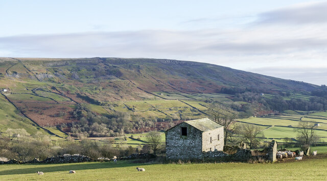
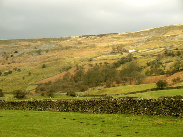
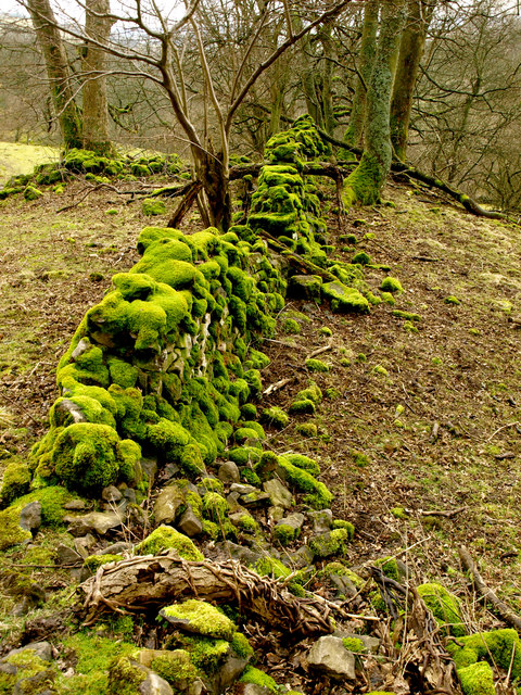
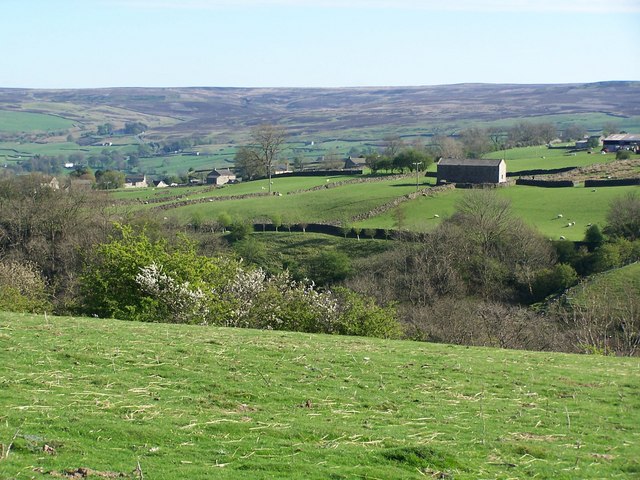
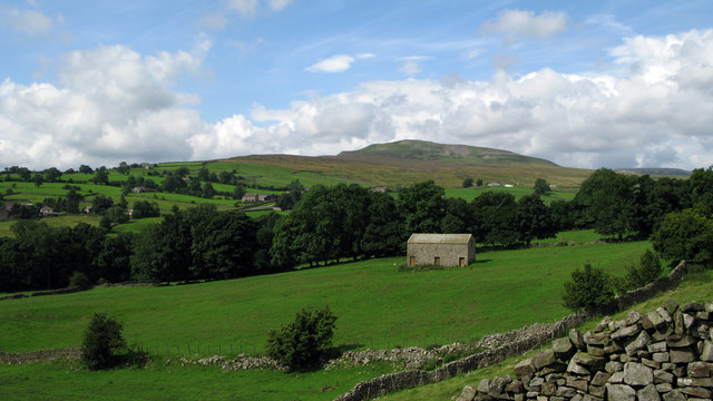
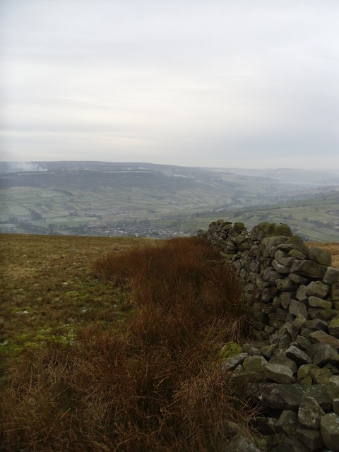
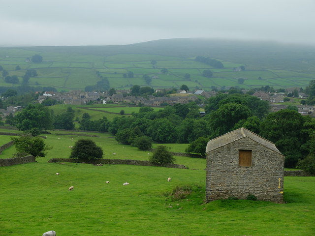
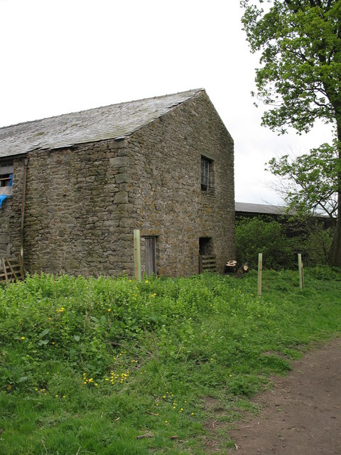
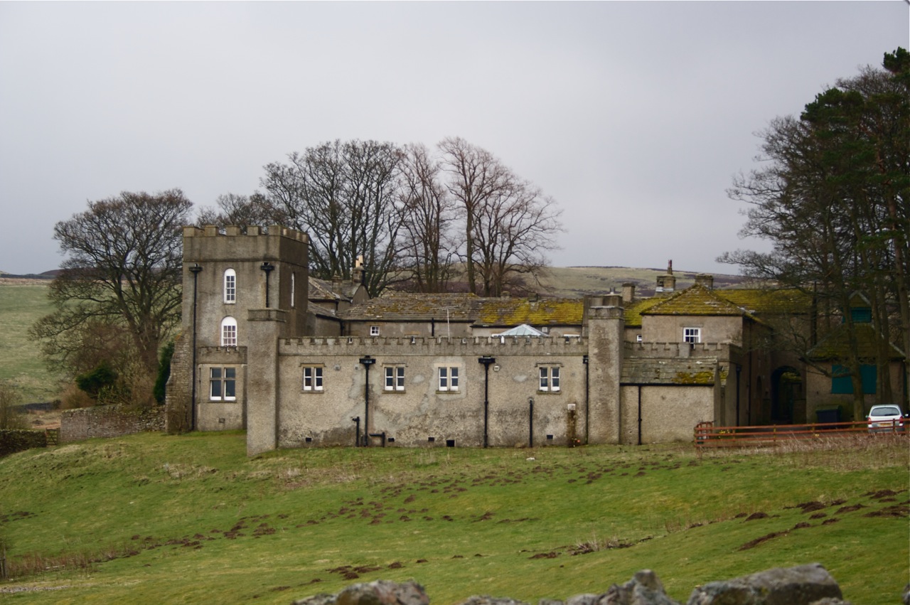
The village is known for its idyllic setting, surrounded by rolling hills, verdant meadows, and stunning panoramic views of the Dales. Its charming rural character is complemented by a scattering of traditional stone-built houses, many of which date back several centuries, adding to the village's historical appeal.

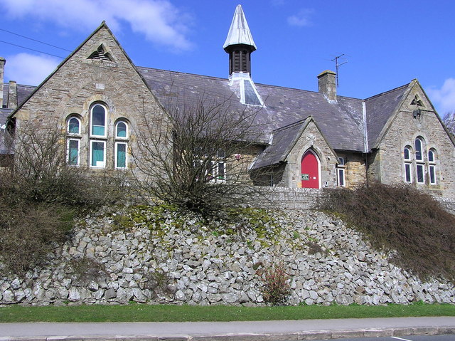
Fremington's main focal point is its parish church, dedicated to St. Peter. This beautiful place of worship showcases a combination of architectural styles, with elements dating from the Norman era to the Victorian period. The churchyard provides a peaceful spot for reflection and offers glimpses into the village's past through the weathered tombstones.

Despite its small size, Fremington boasts a strong sense of community spirit. Local events and activities are organized throughout the year, bringing residents together and fostering a friendly atmosphere. The village is also home to a small primary school, providing education for children within the surrounding area.

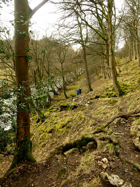
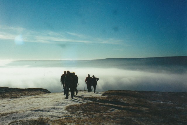
For those seeking outdoor pursuits, Fremington offers a gateway to the stunning Yorkshire Dales. The village is surrounded by numerous walking and cycling trails, allowing visitors to explore the natural beauty of the area. Additionally, nearby attractions such as the historic town of Richmond and the breathtaking Swaledale valley are within easy reach.

In conclusion, Fremington is a charming village in Yorkshire, providing a peaceful haven amidst the stunning landscapes of the Yorkshire Dales. With its rich history, strong community spirit, and proximity to natural beauty, it is a delightful destination for both residents and visitors.

If you have any feedback on the listing, please let us know in the comments section below.
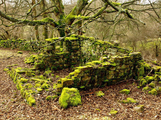
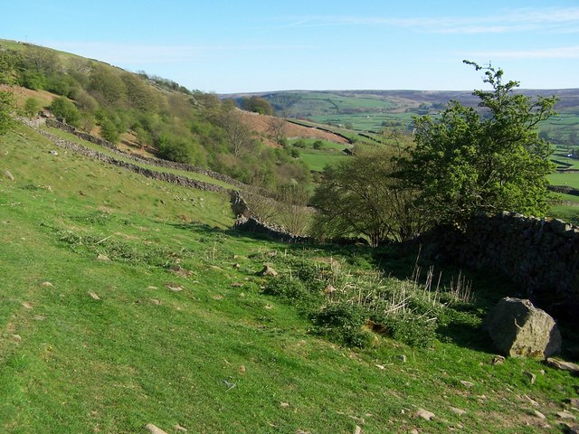
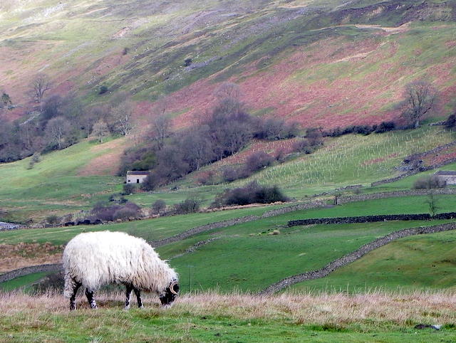
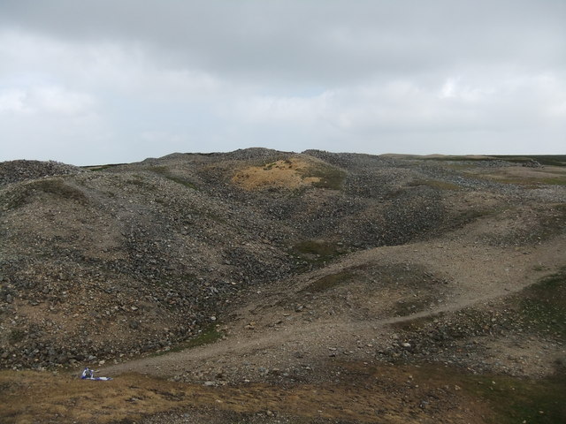
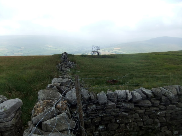
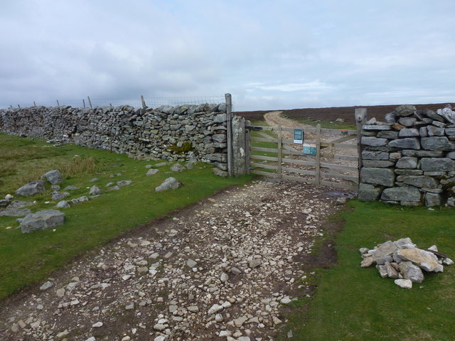
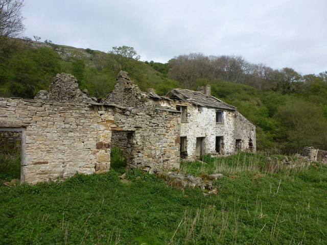
Fremington Images

Images are sourced within 2km of 54.386473/-1.9399134 or Grid Reference SE0499. Thanks to Geograph Open Source API. All images are credited.

Field barn east of Skelgate Lane Skelgate Lane climbs from the western side of Reeth towards Calver Hill.
Arkengarthdale is beyond the barn with Fremington Edge rising from that valley.
Field barn east of Skelgate Lane
Skelgate Lane climbs from the western side of Reeth towards Calver Hill. Arkengarthdale is beyond the barn with Fremington Edge rising from that valley.
Bridleway next to Arkle Beck
White House from east of Reeth
Mossy Wall
Mossy Wall
Moss-covered Ruin
Moss-covered Ruin
Footpath below Fremington Edge
View across the Arkle Beck
Swaledale ewe, Reeth The ewe grazes on the rough hill grasses.
Swaledale ewe, Reeth
The ewe grazes on the rough hill grasses.
Arkengarthdale from near Cuckoo Hill The view is across the nearby cultivated fields of the east side of Arkengarthdale; the hill rising distantly is Calver Hill.
Arkengarthdale from near Cuckoo Hill
The view is across the nearby cultivated fields of the east side of Arkengarthdale; the hill rising distantly is Calver Hill.
Footpath on track at Fremington Edge
Old wall on Fremington edge A stiff walk from Reeth.
Old wall on Fremington edge
A stiff walk from Reeth.
Cairn on Marrick Moor High above Swaledale.
Cairn on Marrick Moor
High above Swaledale.
In the Mist on Fremington Edge
Spoilheap moonscape, Copperthwaite Allotment
Radio mast remains, Fremington Edge
Wall and gate above Fremington Edge
Ruinous farmhouse, lower Arkengarthdale
Old barn and footpath sign Although the footpath isn't well defined here, the farmer has painted various markers to help keep walker on the right track.
Old barn and footpath sign
Although the footpath isn't well defined here, the farmer has painted various markers to help keep walker on the right track.
Show me another place!

Fremington is located at Grid Ref: SE0499 (Lat: 54.386473, Lng: -1.9399134)

Division: North Riding

Administrative County: North Yorkshire

District: Richmondshire

Police Authority: North Yorkshire

What 3 Words

///should.planting.crabmeat. Near Leyburn, North Yorkshire

Related Wikis

Reeth

Reeth is a village 11 miles (18 km) west of Richmond in North Yorkshire, England, in the civil parish of Reeth, Fremington and Healaugh. Historically part...

Swaledale Museum

Swaledale Museum is a local museum in the village of Reeth, near Richmond in North Yorkshire, England. It covers rural history including life and work...

Reeth, Fremington and Healaugh

Reeth, Fremington and Healaugh is a civil parish in North Yorkshire, England. It consists of the three villages of Reeth, Fremington and Healaugh. As of...
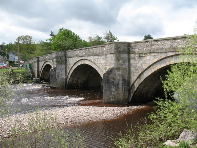
Arkle Beck

Arkle Beck is the stream running through the valley of Arkengarthdale in the Yorkshire Dales, England. It is a tributary of the River Swale, which it joins...

Fremington, North Yorkshire

Fremington is a hamlet in the Yorkshire Dales in North Yorkshire, England. The hamlet is almost joined to Reeth and Grinton. It is split into Low Fremington...

Swaledale Festival

The Swaledale Festival takes place over two weeks in May and June each year, in churches, chapels, castles, ‘Literary Institutes’, pubs, fields and village...

Grinton

Grinton is a small village and civil parish in the Yorkshire Dales, North Yorkshire, England. Close to Reeth and Fremington, it lies 9 miles (15 km) west...

Grinton Lodge

Grinton Lodge is a 19th-century former shooting lodge that has been a youth hostel since 1948. A Grade II listed building, it is situated above the village...

Nearby Amenities

Located within 500m of 54.386473,-1.9399134
Reeth
Place: village
Source: NPE
Wikidata: Q738844
Lat/Long: 54.3892681/-1.942143
Post Office
Reeth Post Office
Addr City: Richmond
Addr Postcode: DL11 6SE
Branch: Reeth
Brand: Post Office
Brand Wikidata: Q1783168
Check Date: 2020-02-20
Contact Website: https://www.postoffice.co.uk/branch-finder/2833093/reeth
Ref Pol Id: 11354
Lat/Long: 54.3891229/-1.9416311
Noexit: yes
Lat/Long: 54.390303/-1.941801
Noexit: yes
Lat/Long: 54.3904866/-1.9415236
Toilets
Lat/Long: 54.3895941/-1.9427669
Barrier: stile
Foot: designated
Lat/Long: 54.3881194/-1.9347773
Bench
Backrest: yes
Lat/Long: 54.3894888/-1.9422735
Bench
Lat/Long: 54.3885274/-1.9431133
Bus: yes
Public Transport: stop_position
Lat/Long: 54.3894827/-1.9426452
Swaledale Museum
Description: The Museum specialises in collecting objects and archives from Swaledale and Arkengarthdale.
Tourism: museum
Website: http://www.swaledalemuseum.org/
Wikidata: Q7653073
Wikipedia: en:Swaledale Museum
Lat/Long: 54.3888045/-1.9407416
The Copper Kettle
Disused Amenity: cafe
Lat/Long: 54.3883707/-1.9416522
Reeth Village Store
Abandoned Shop: convenience
Source: survey
Lat/Long: 54.3878929/-1.9403121
Historic: memorial
Source: visual survey;bing
Lat/Long: 54.3888052/-1.9426236
Post Office Stores
Shop: convenience
Lat/Long: 54.3890307/-1.9416323
Reeth Bakery
Shop: bakery
Lat/Long: 54.3896624/-1.9441467
The Gift Shop
Shop: newsagent
Wikidata: Q26424472
Lat/Long: 54.3891957/-1.9431459
Overton House Cafe
Cuisine: coffee_shop
Disused Amenity: cafe
Lat/Long: 54.3891361/-1.9431761
Fuel
Fuel Diesel: yes
Fuel Octane 95: yes
Lat/Long: 54.3901422/-1.9431431
Bus Stop
Reeth
Bus: yes
Public Transport: platform
Shelter: yes
Lat/Long: 54.3895203/-1.9426228
Historic: memorial
Memorial: war_memorial
Lat/Long: 54.388874/-1.9419263
Fatsheep
Note: sells local-made gift and household products
Shop: gift
Lat/Long: 54.3883729/-1.9425231
Barrier: stile
Foot: designated
Lat/Long: 54.388064/-1.93383
Barrier: stile
Foot: designated
Stile: squeezer
Lat/Long: 54.388169/-1.9371589
Reeth Memorial
Bus: yes
Public Transport: stop_position
Lat/Long: 54.3890358/-1.9428833
Telephone
Booth: KX100
Covered: booth
Operator: BT
Payment Coins: yes
Lat/Long: 54.3895231/-1.9425583
Reeth Garage Ltd.
Shop: car_repair
Lat/Long: 54.3901127/-1.9433566
Information: office
Tourism: information
Lat/Long: 54.3885434/-1.9433543
Waste Basket
Lat/Long: 54.3893105/-1.9425974
Information: guidepost
Tourism: information
Lat/Long: 54.389419/-1.9427203
Bench
Backrest: yes
Lat/Long: 54.3895282/-1.9420852
Car Wash
Lat/Long: 54.3900128/-1.9431132
Shop: car_repair
Lat/Long: 54.3903222/-1.9435458
Doctors
Healthcare: doctor
Lat/Long: 54.3879874/-1.9460438
Bench
Lat/Long: 54.3825501/-1.9405334
Barrier: stile
Foot: yes
Lat/Long: 54.3877469/-1.9457906
Hackney House
Tourism: guest_house
Lat/Long: 54.3878726/-1.9401755
Tourism: picnic_site
Lat/Long: 54.3880502/-1.9372622
Bench
Backrest: yes
Lat/Long: 54.3895719/-1.9419109
Bench
Backrest: yes
Lat/Long: 54.3896203/-1.9417031
Drinking Water
Lat/Long: 54.3849775/-1.9420761
Power: pole
Lat/Long: 54.3900142/-1.9351461
Post Box
Post Box Type: wall
Lat/Long: 54.3890866/-1.941684
Bus Stop
Reeth Memorial
Bus: yes
Public Transport: platform
Lat/Long: 54.389037/-1.9429607
Bench
Lat/Long: 54.3885731/-1.9430893
Bench
Lat/Long: 54.3885459/-1.9431015
Bench
Lat/Long: 54.3883813/-1.9422279
Entrance: yes
Lat/Long: 54.3882196/-1.9421678
Arkleside Country Guest House
Guest House: bed_and_breakfast
Source: survey
Tourism: guest_house
Lat/Long: 54.3896571/-1.9407975
Ivy Cottage
Guest House: bed_and_breakfast
Source: survey
Tourism: guest_house
Lat/Long: 54.3893101/-1.9416499
Bus Stop
Reeth Memorial
Bus: yes
Public Transport: platform
Lat/Long: 54.3889963/-1.9428046
Reeth Memorial
Bus: yes
Public Transport: stop_position
Lat/Long: 54.3889971/-1.9428841
The data included in this document is from www.openstreetmap.org. The data is made available under ODbL.

Have you been to Fremington?

Leave your review of Fremington below (or comments, questions and feedback).